Hike to Arpettaz de Thuy
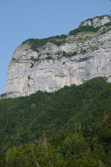
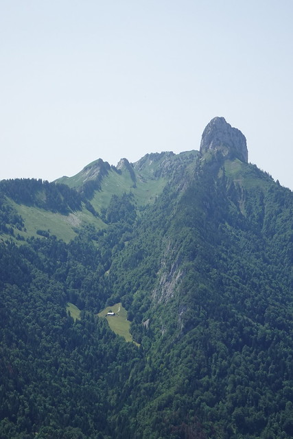
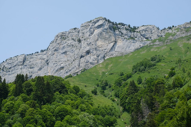
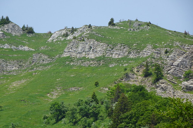
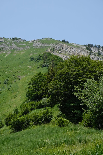
Last summer, I went on a hike to Arpettaz de Thuy, a rocky ridge below Tête de l’Arpettaz and above La Balme de Thuy near Thônes.
Here is a map of the path I walked:
- Download path KML
- Download large map
- More photos on Flickr
- Day of the hike: June 28, 2023
That day, I had intended to go hiking in the Aravis but the bus to La Clusaz didn’t pass… The next bus (Car Région Y62) only went until Thônes so I changed my plan. I got off at Morette in Thônes and went to see if the trail to Arpettaz de Thuy marked on the IGN map still existed: I couldn’t find any report about it on the internet.
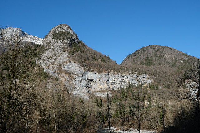
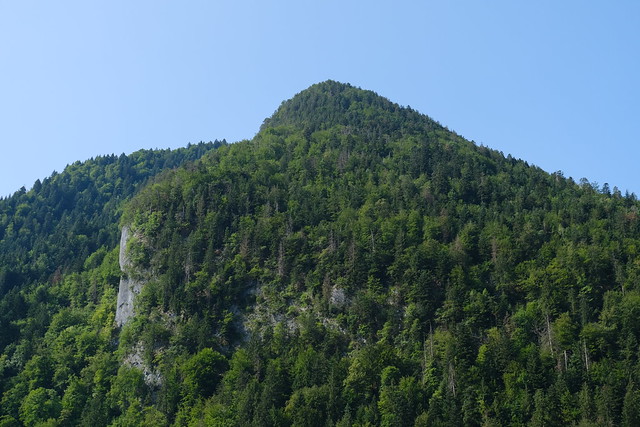
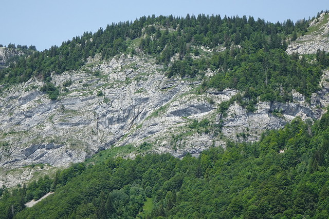
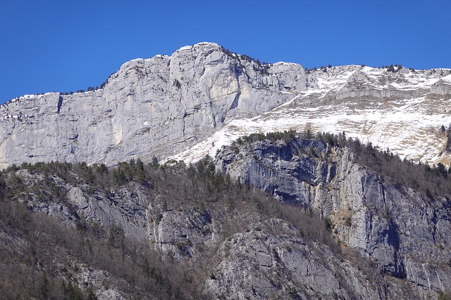
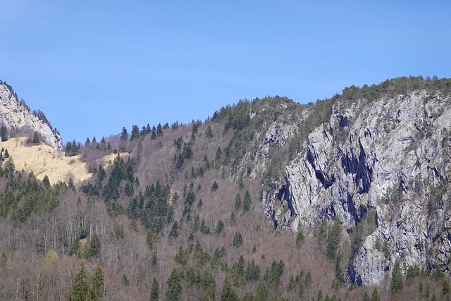
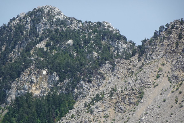
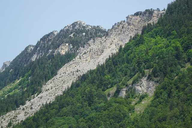
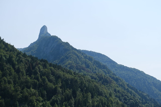
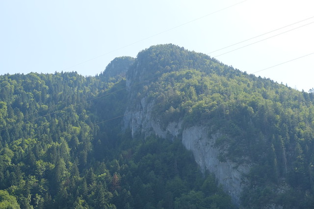
▲ Arpettaz de Thuy seen from Across the Fier river.
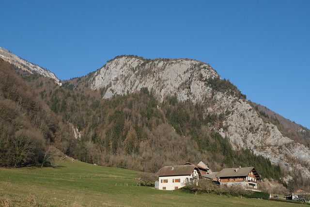
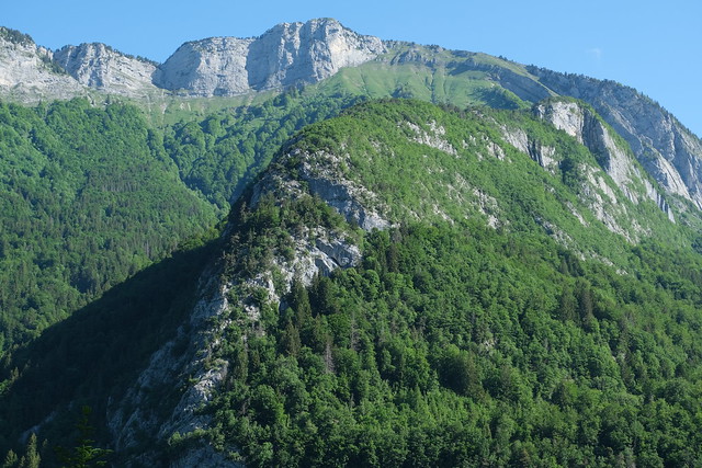
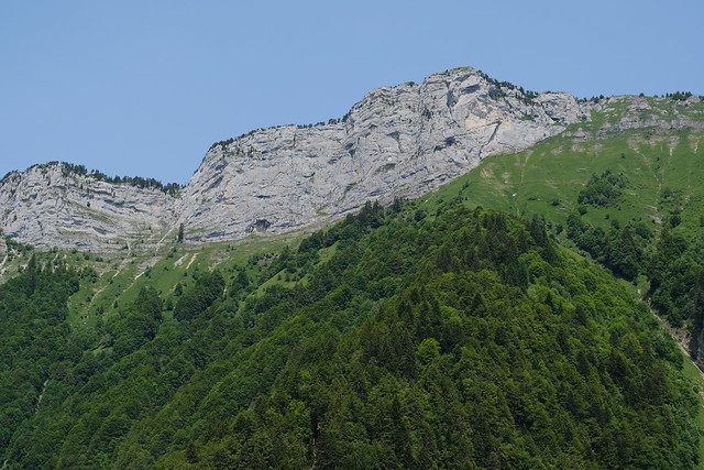
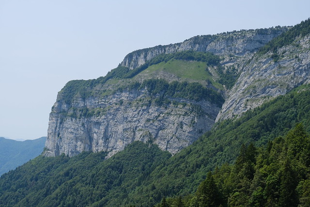
▲ Arpettaz de Thuy seen from the village of La Balme de Thuy.
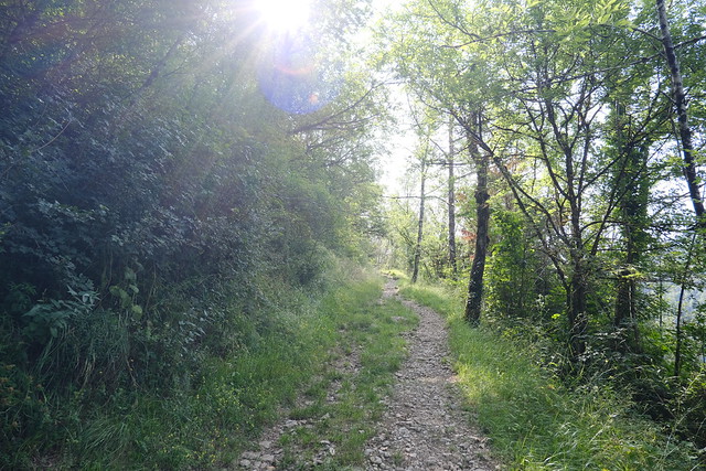
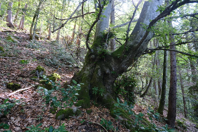
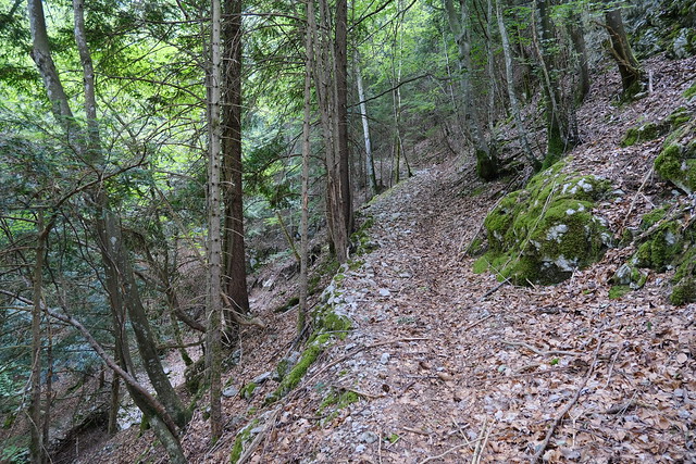
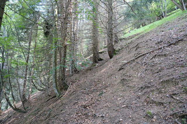
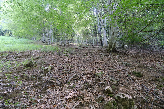
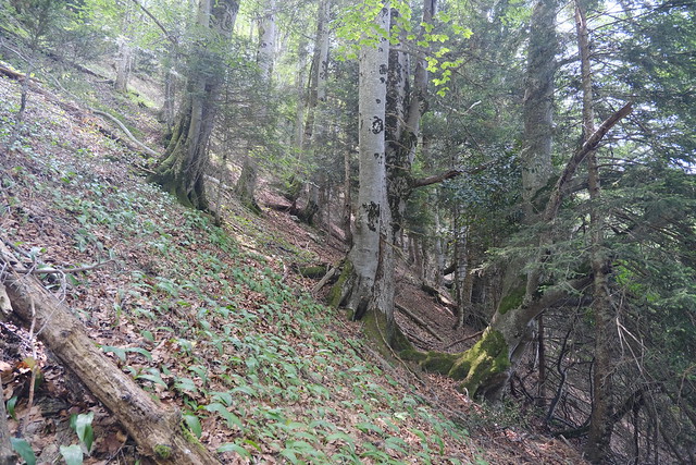
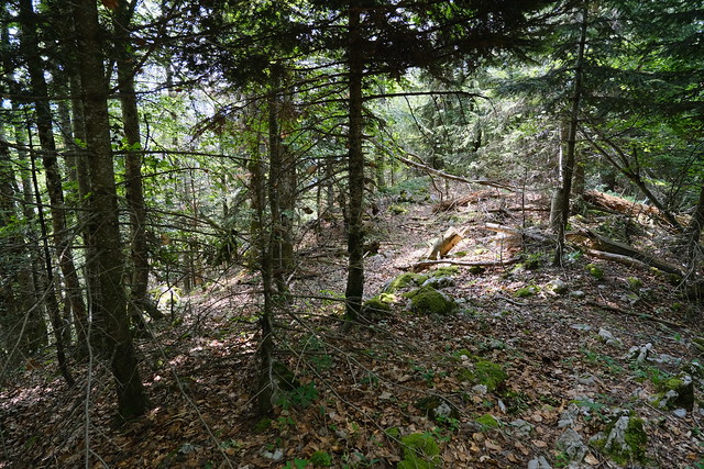
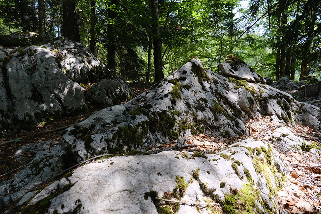
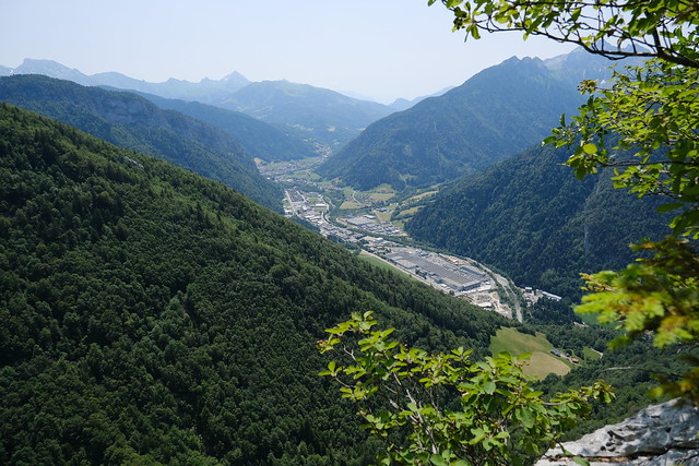
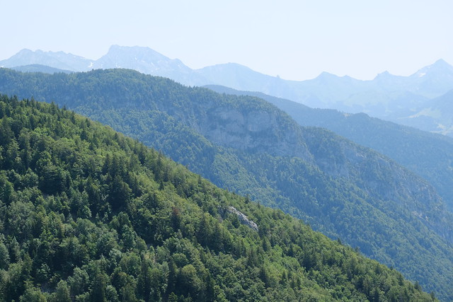
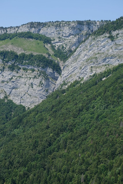
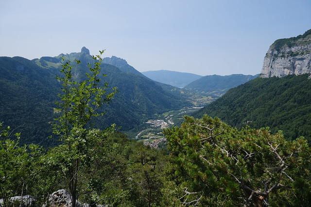
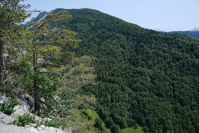
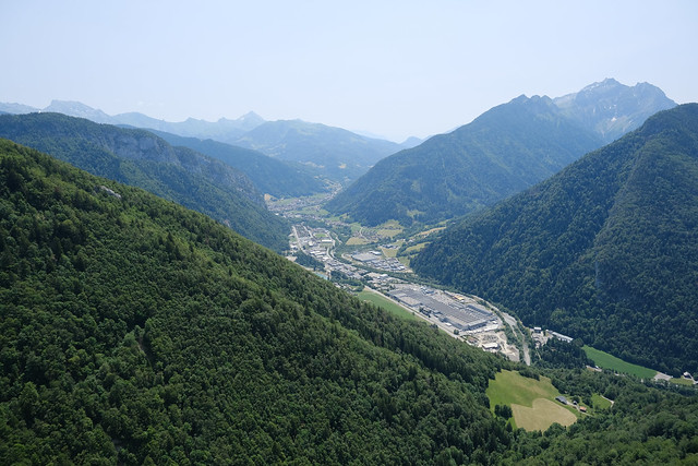
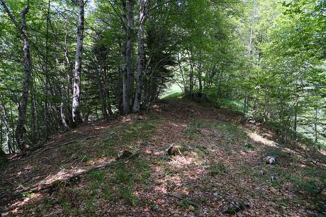
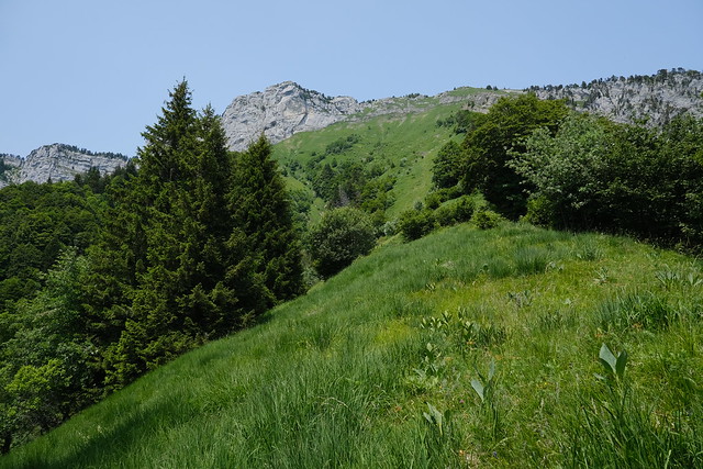
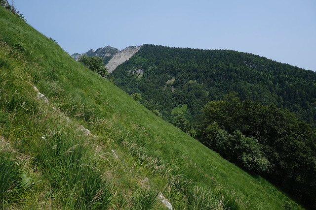
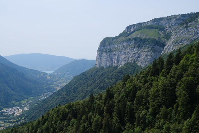
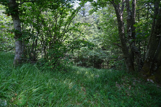
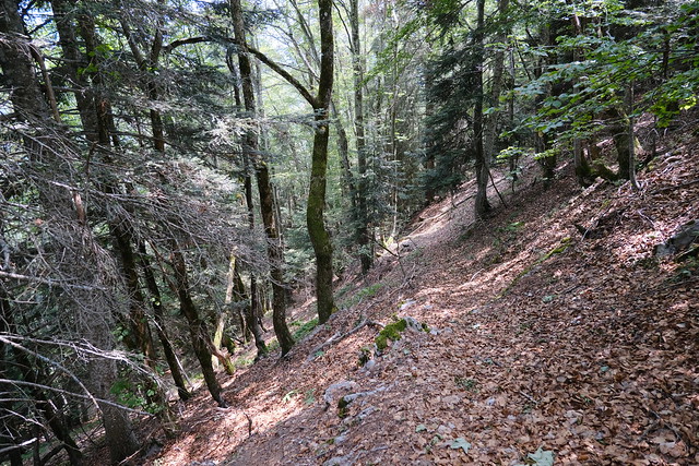
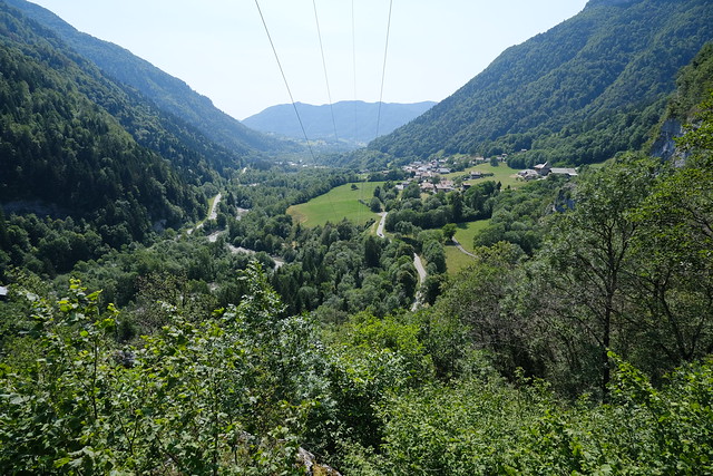
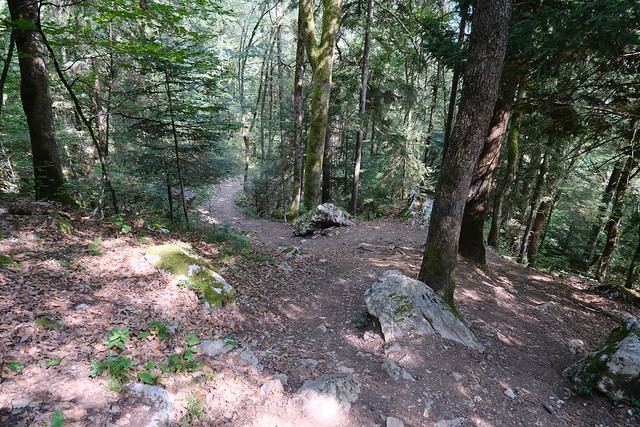
In fact, it did and I followed the trail until it arrived below a pasture. In order to go further, I walked up off-trail until I reached the ridge of Arpettaz de Thuy. I then walked down a small path along the ridge that led to a few viewpoints on the Thônes and Fier valley. Lake Annecy could also be seen. I went back up and finally arrived at the pasture, which is no longer in use. I walked a little bit in the grass but soon started on the way down. There is a small trail that I had learnt about in a Youtube video (see below): It goes down to the dirt road that leads to Plaine de Dran on Plateau des Glières. Once I reached the road, I followed it down back to Morette where I waited for the bus (Car Région Y63).
▲ A video that shows a path to Tête de l’Arpettaz through Arpettaz de Thuy.
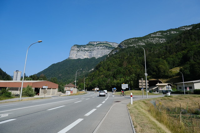
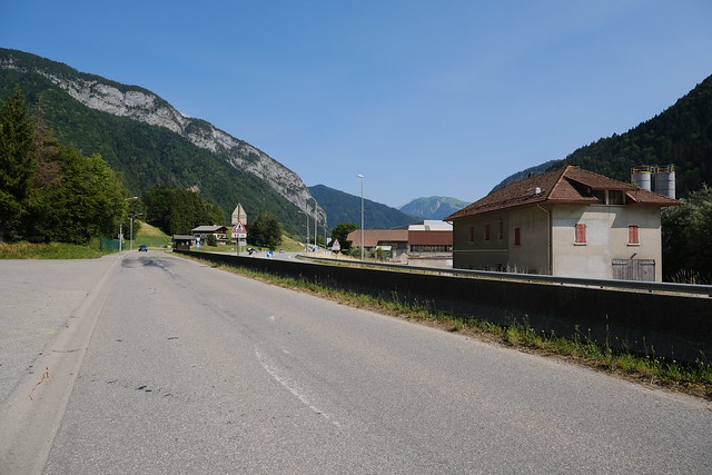
▲ Near the Morette bus stop, looking towards Tête à Turpin
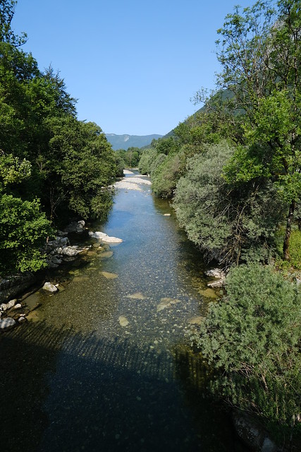
▲ Fier river seen from Passerelle de Morette.
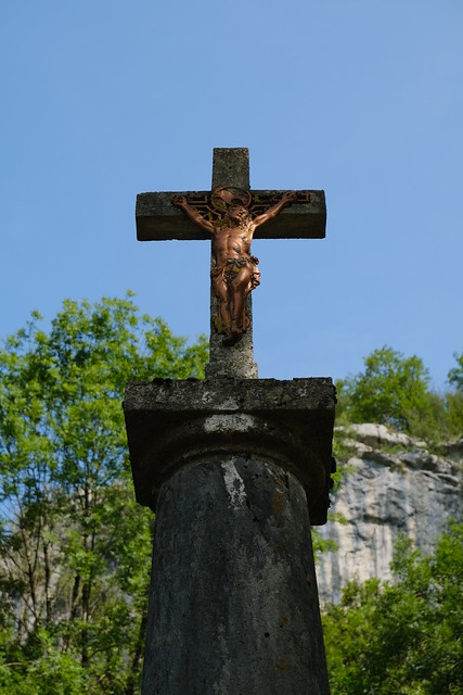
▲ Cross near the beginning of the path.
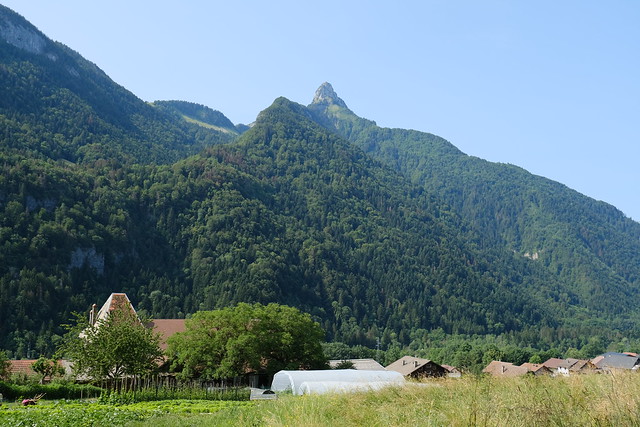
▲ Dent du Cruet.
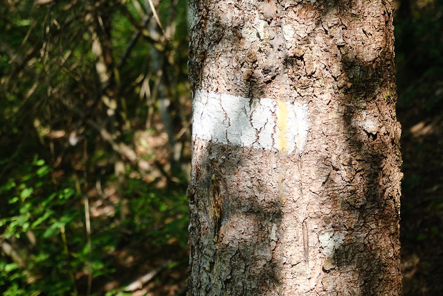
▲ There is a white paint mark on a tree at the start of the trail.
▲ Tête à Turpin.
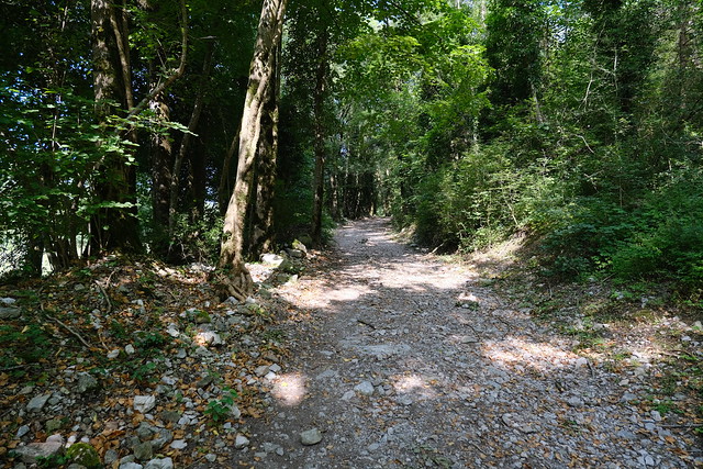
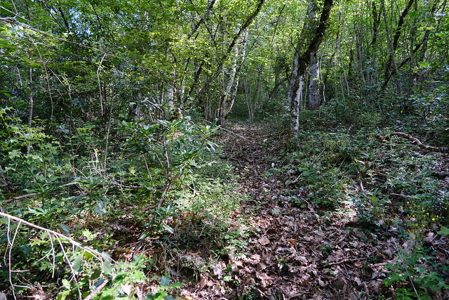
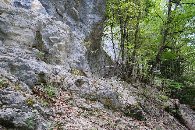
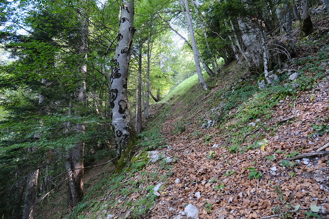
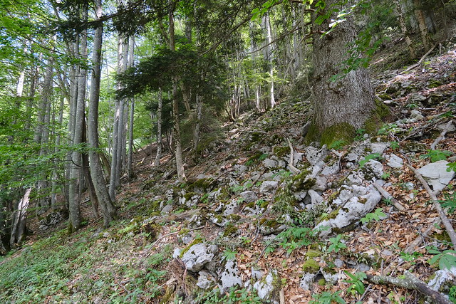
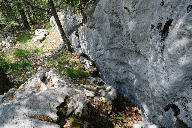
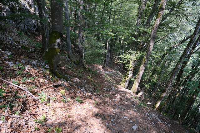
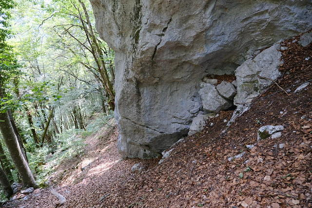
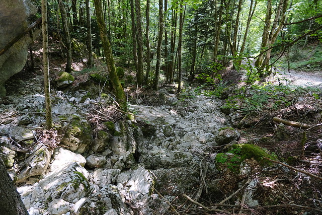
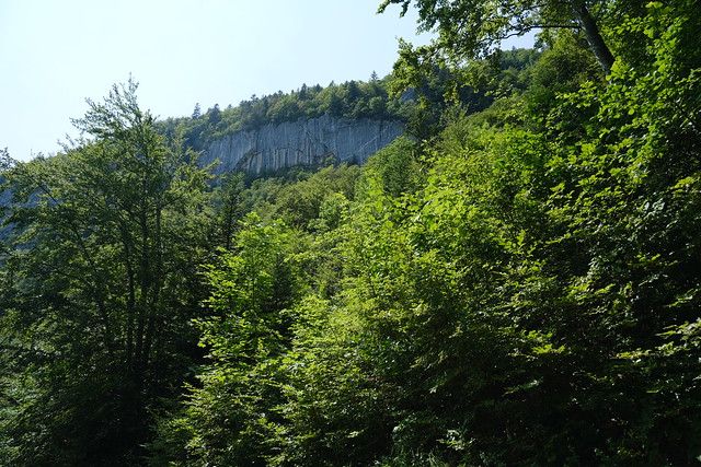
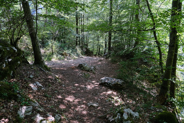
▲ The trail passes below a cliff at some point.
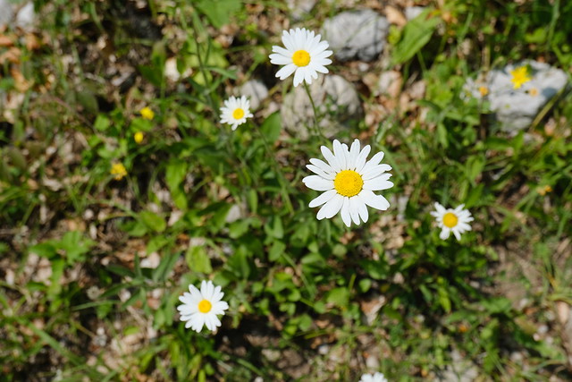
▲ Patch of grass.
▲ End of the trail.
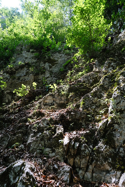
▲ I walked up.
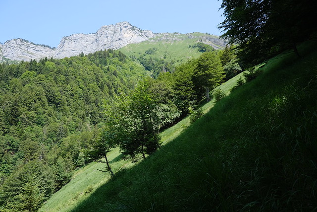
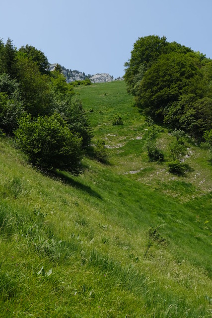
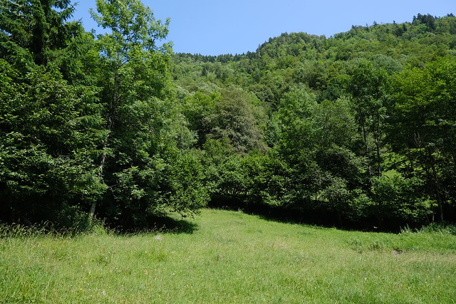
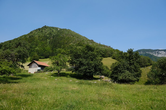
▲ Pasture with Tête de l’Arpettaz in the background.
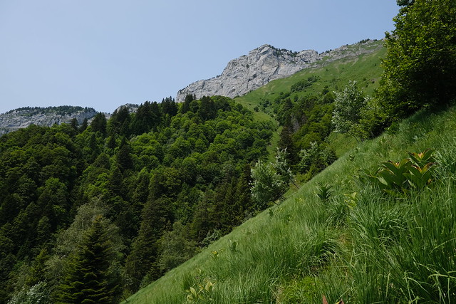
▲ On the ridge.
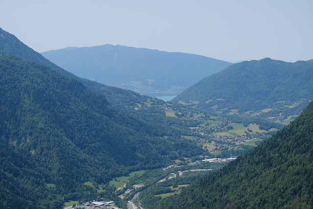
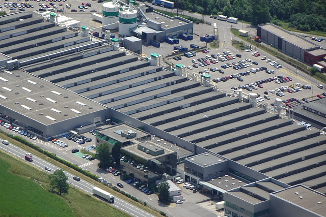
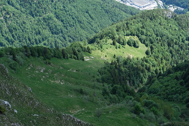
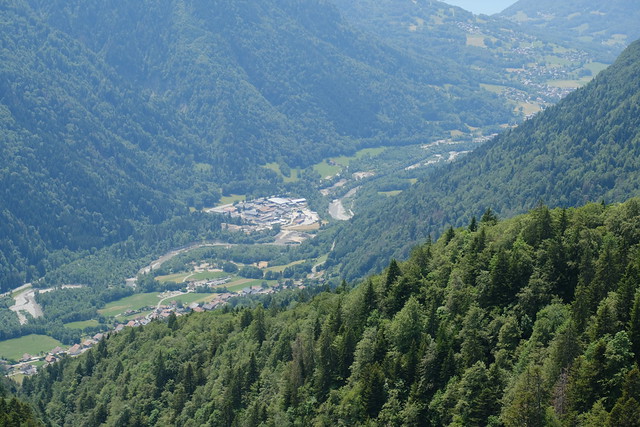
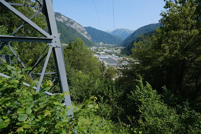
▲ First viewpoint towards Thônes. The Mobalpa factory can be seen.
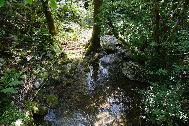
▲ Ruisseau des Challes.
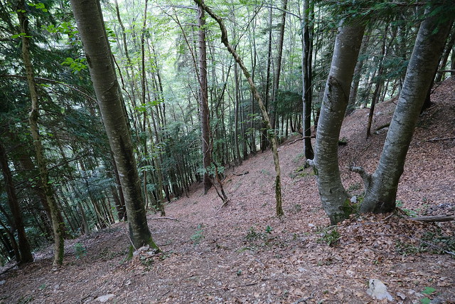
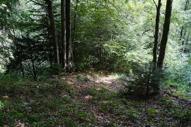
▲ Still going down.
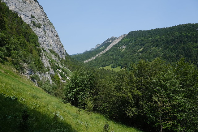
▲ Vallon du Cruet.
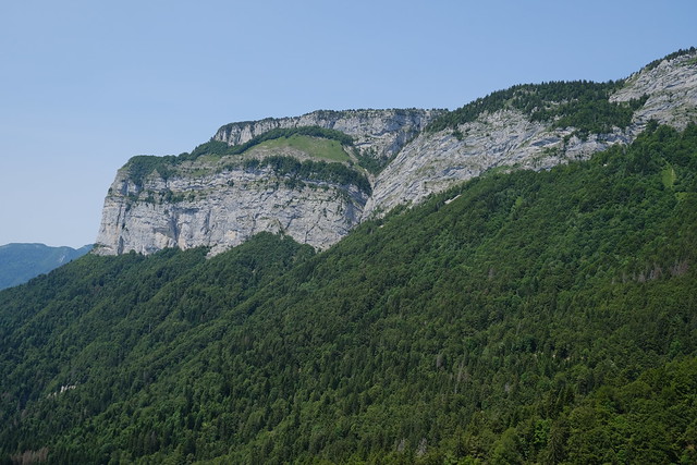
▲ Arpettaz de Thuy seen from Vallon du Cruet.
▲ La Tournette.
▲ Tête à Turpin.
▲ Passage de la Bourse.
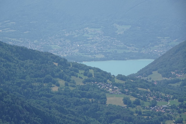
▲ Lake Annecy beyond Col de Bluffy.
▲ Tête de l’Arpettaz.
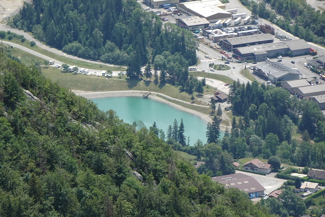
▲ Lac de Thuy.
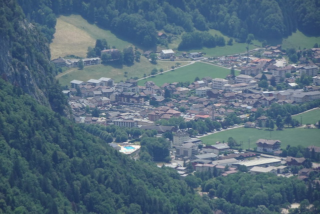
▲ Thônes.
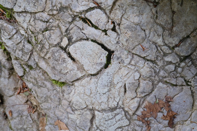
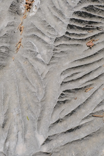
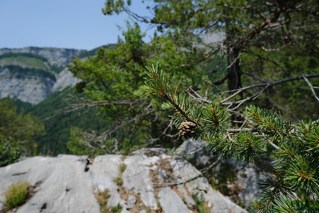
▲ Limestone.
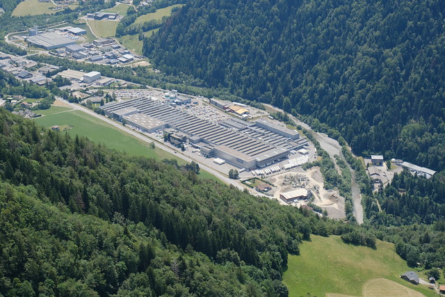
▲ Mobalpa factory.
▲ Arpettaz de Thuy and Tête de l’Arpettaz seen from next to the factory.
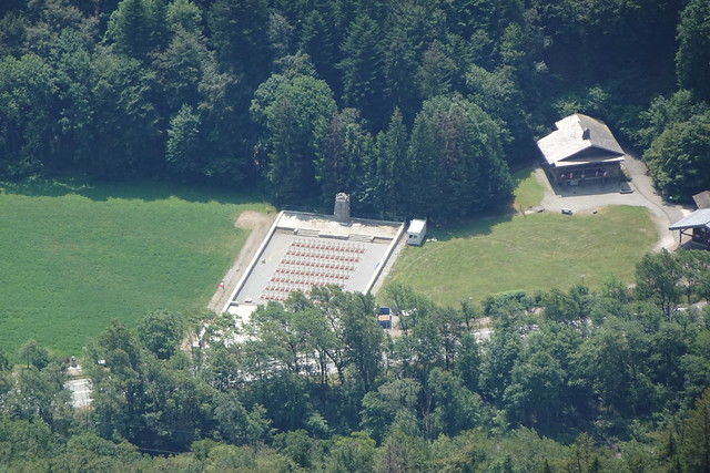
▲ Nécropole Nationale des Glières.
▲ On the way back up.
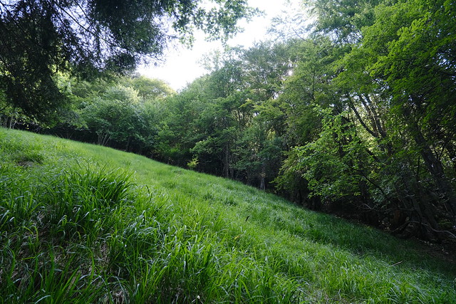
▲ Pasture.
▲ View of Arpettaz de Thuy and the pasture from La Balme de Thuy.
▲ Tête à Turpin.
▲ Tête de l’Arpettaz.
▲ View of the pasture from the summit of Tête de l’Apettaz.
▲ Arête du Sapey.
▲ La Grande Pierraille.
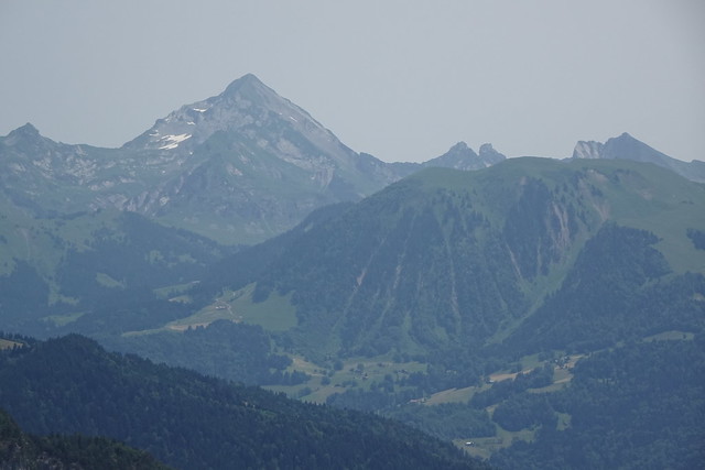
▲ Mont Charvin in the Aravis.
▲ Lake Annecy.
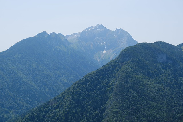
▲ La Tournette and Dent du Cruet.
▲ Plaine du Fier.
▲ On the video linked at the top of this post, the path to Tête de l’Arpettaz passes on the right of the solitary tree in the middle of the photo above.
▲ The ridge.
▲ Path down.
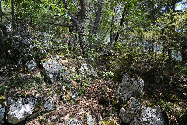
▲ Around here the path was not very visible and I had to do a bit of searching.
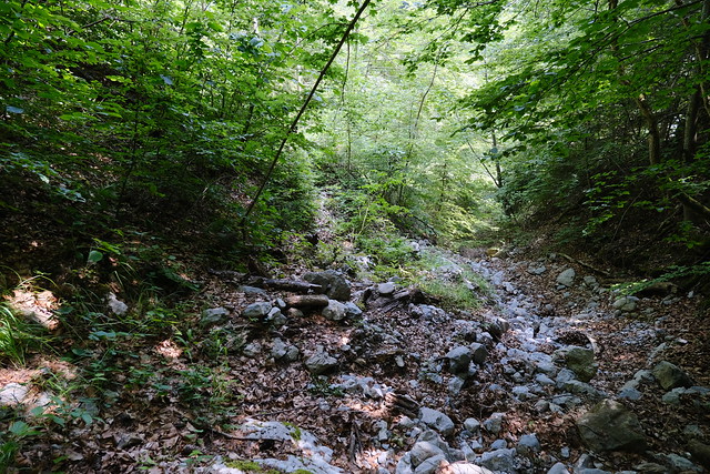
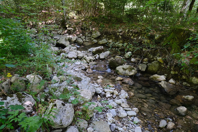
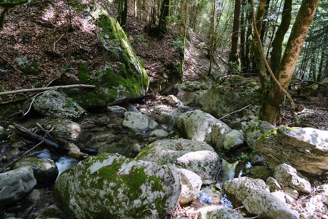
▲ Dry torrent at the end of the path.
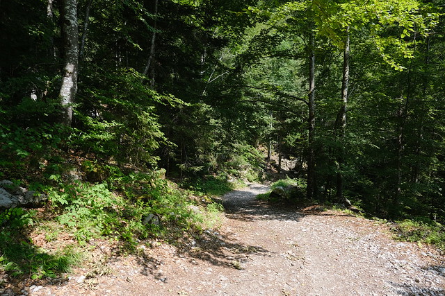
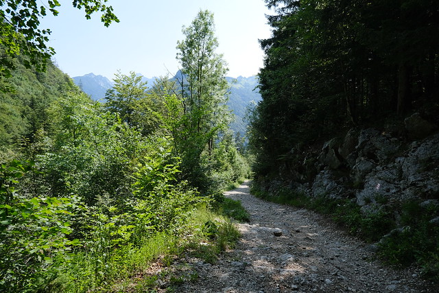
▲ Dirt road between Plateau des Glières and Thônes.
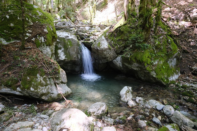
▲ Nant Debout with not much water.
▲ Nant Debout.
▲ Dent du Cruet.
▲ Back in Morette.

