Hike to Montagne du Villard & Pointe de Chenevier
In autumn 2021, I went on a hike to Montagne du Villard and Pointe de Chenevier, starting in Doussard and arriving in Talloires.
Here is a map of the path I walked:
- Download path KML
- Download large map
- More photos on Flickr
- Day of the hike: October 20, 2021
In the morning, I took a Car Région bus (line Y51) and got of at the Giez Gare bus stop. I headed to the hamlet of Le Villard in Doussard and found a small trail that led to the top of Montagne du Villard, a hill above the hamlet. After that, I went up to Belvédère du Rochet-Chenalet then kept walking towards Col de la Forclaz. Before I arrived there, I took a fork to the summit of Pointe de Chenevier. There was a good view on Lake Annecy from there. I walked off-trail in the forest until I found a dirt road then went down to Col de la Forclaz. At the Col, I walked up on the other side to the takeoff area for paragliders. I then started on the way down, passing by the secondary takeoff area of Coche-Cabane, Rovagny and Pont des Fées. I waited for the bus in Talloires.
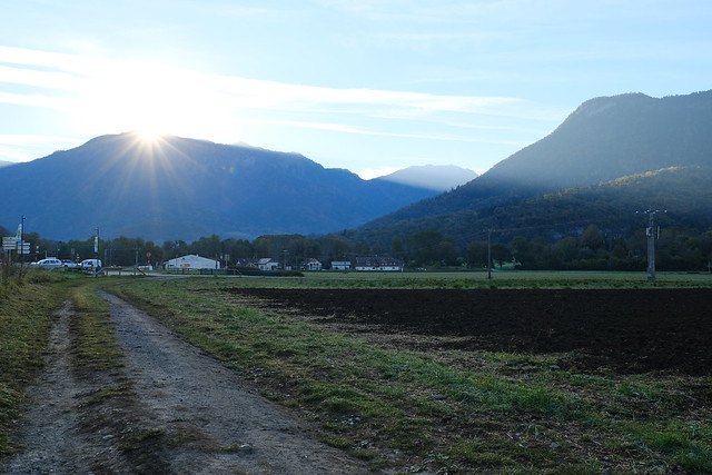
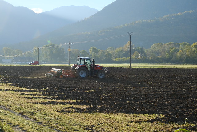
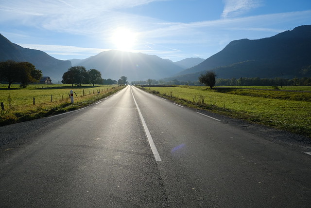
▲ Sunrise.
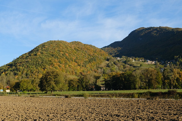
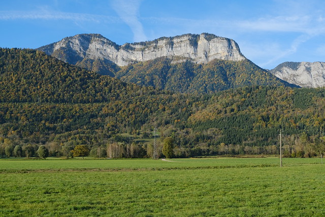
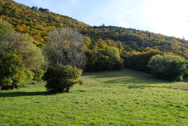
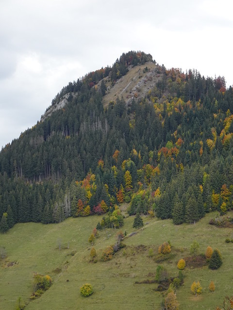
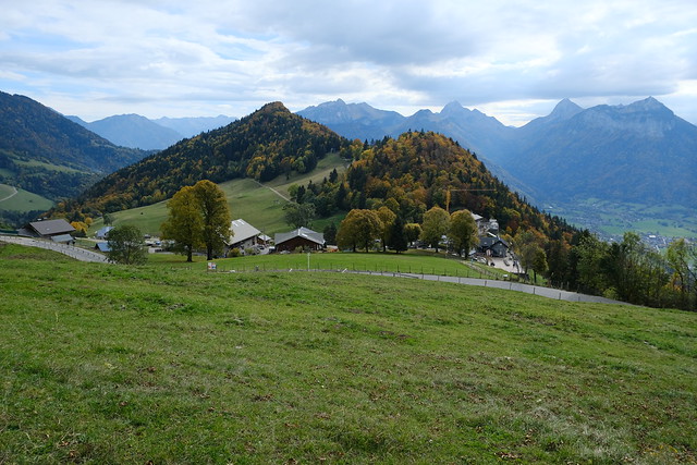
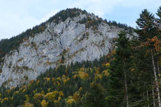
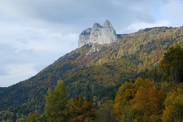
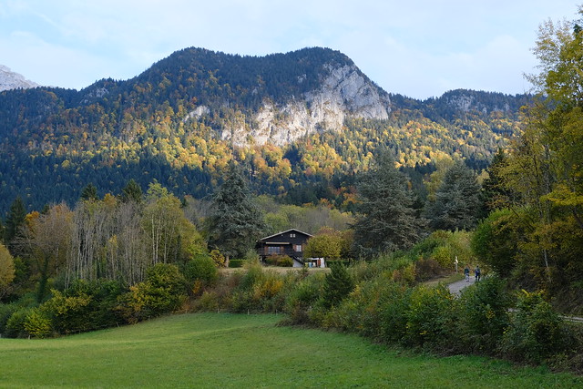
▲ Montagne du Villard (on the left).
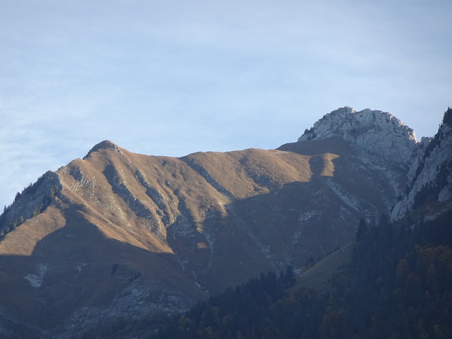
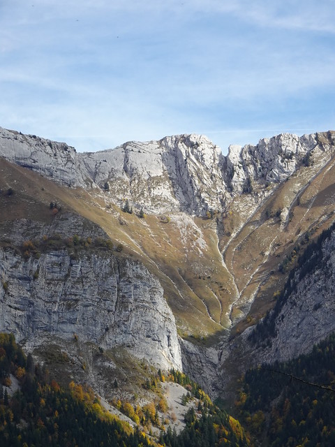
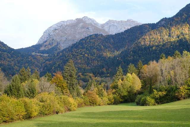
▲ Pointe de Velan.
▲ Pointe de la Beccaz.
▲ Montagne de Mont Bogon.
▲ Montagne du Charbon.
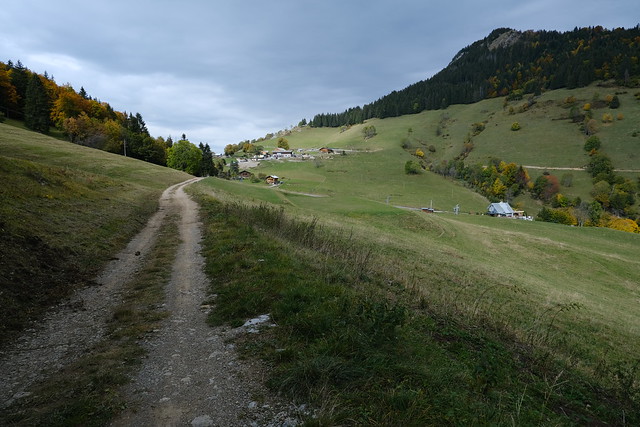
▲ In Le Villard.
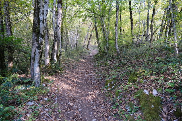
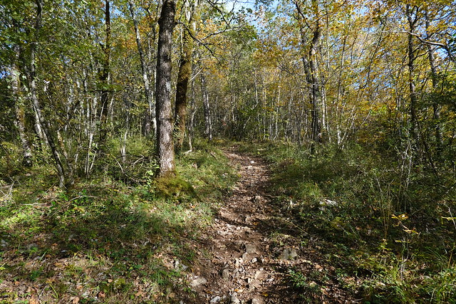
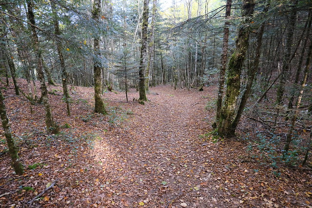
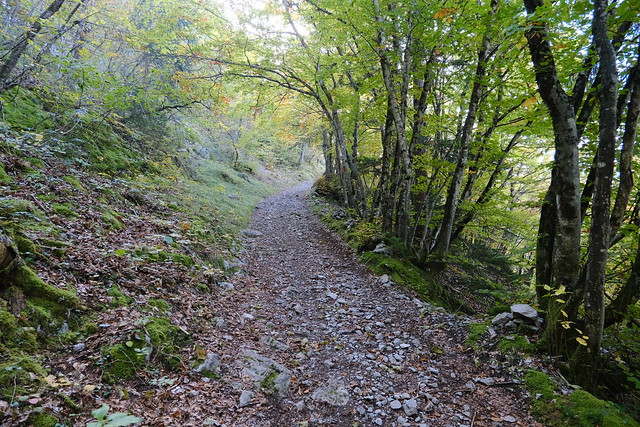
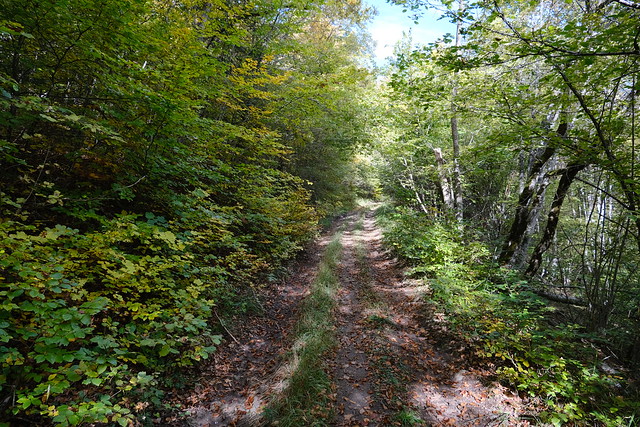
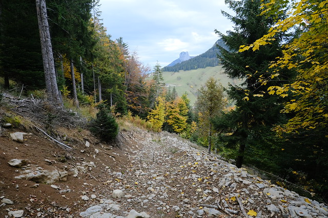
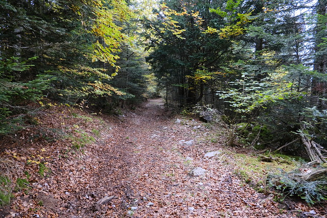
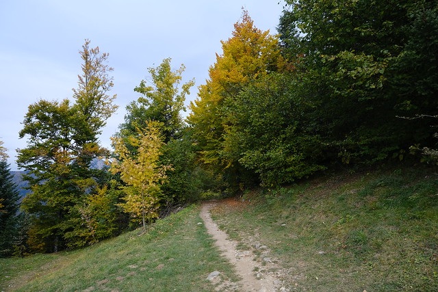
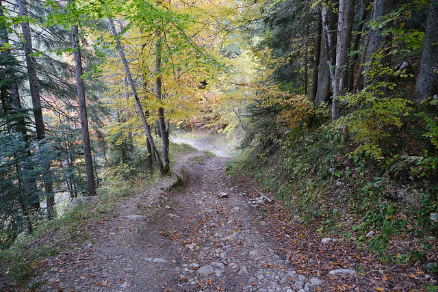
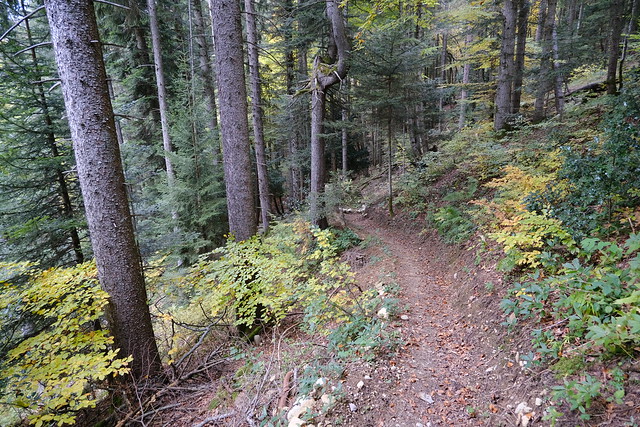
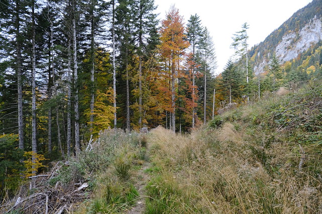
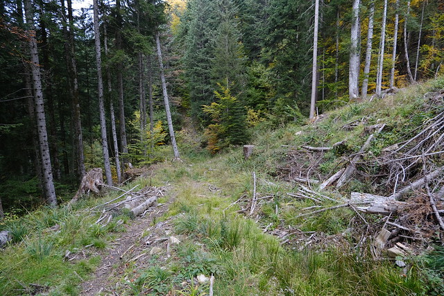
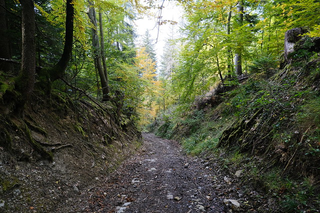
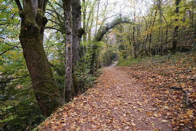
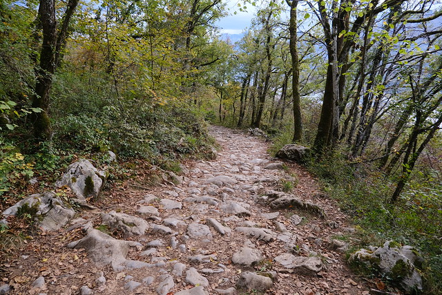
▲ Forest trail.
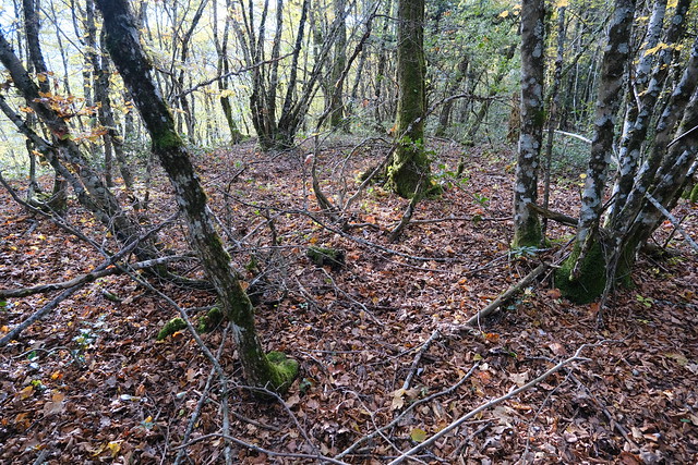
▲ Off-trail detour to the actual summit of Montagne du Villard.
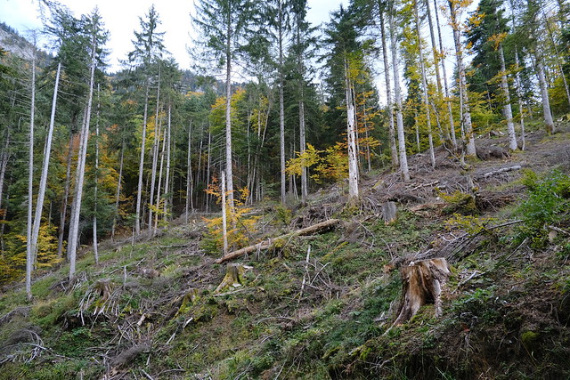
▲ On the way up to Pointe de Chenevier.
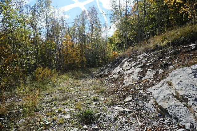
▲ Dirt road to Col de la Forclaz.
▲ Belvédère du Rochet-Chenalet.
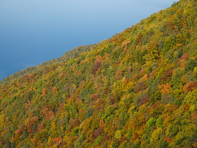
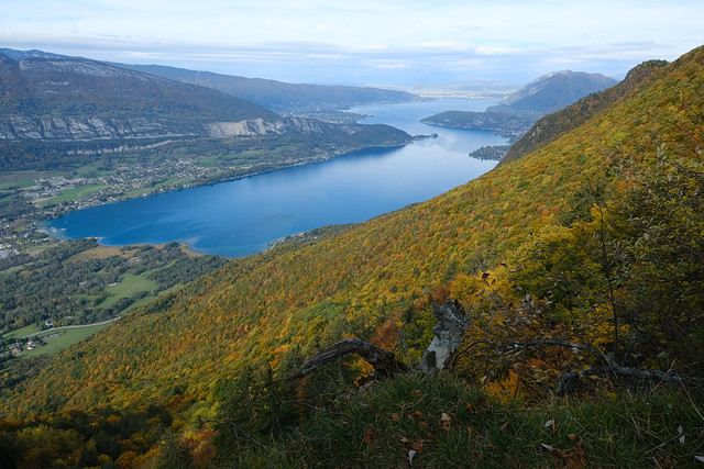
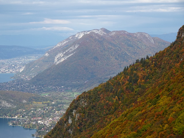
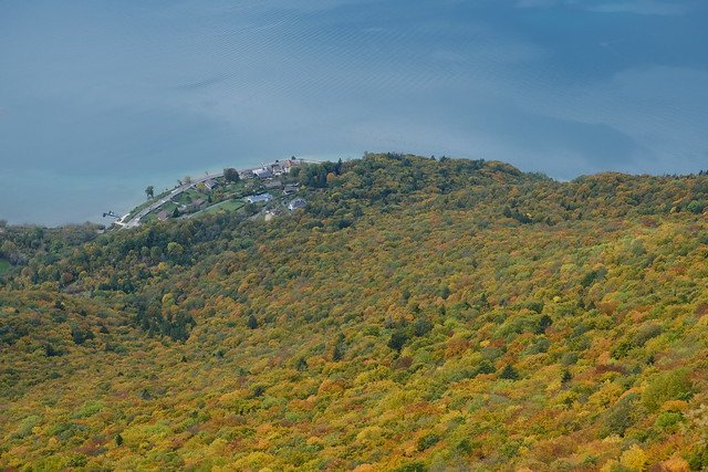
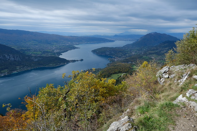
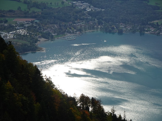
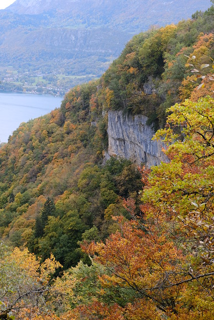
▲ Lake Annecy.
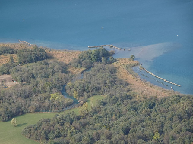
▲ Réserve naturelle du Bout du Lac.
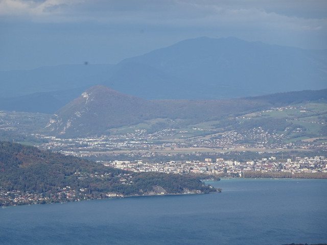
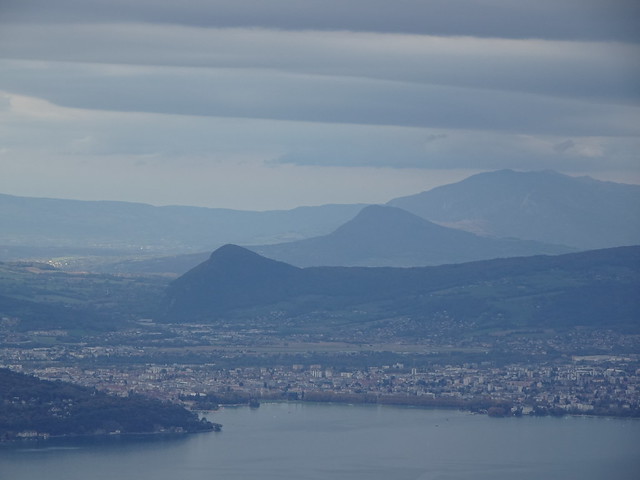
▲ Annecy.
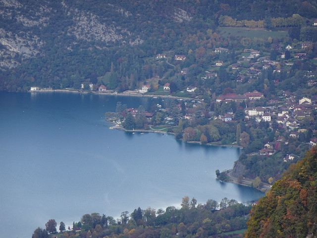
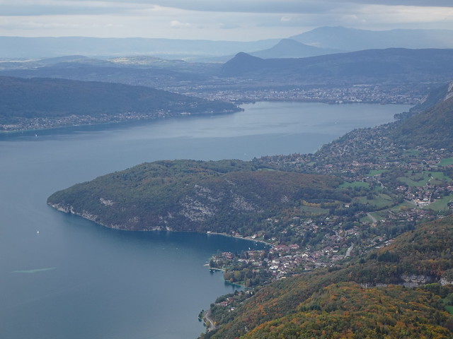
▲ Talloires.
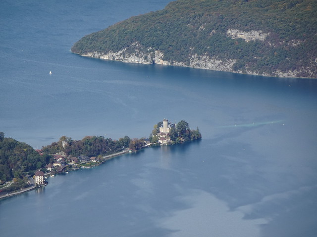
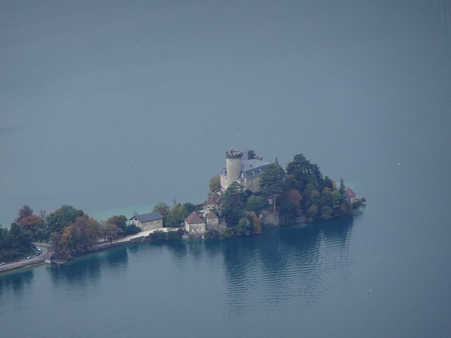
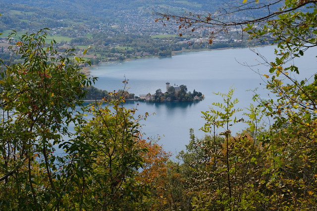
▲ Castle of Duingt.
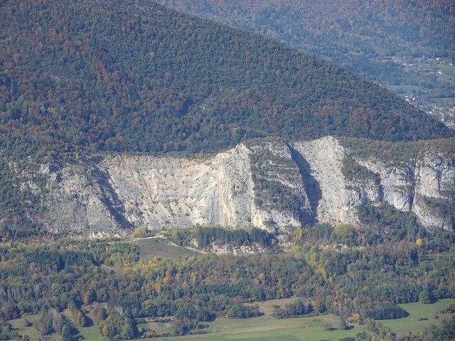
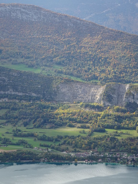
▲ Quarries on Taillefer.
▲ I continued on the dirt road.
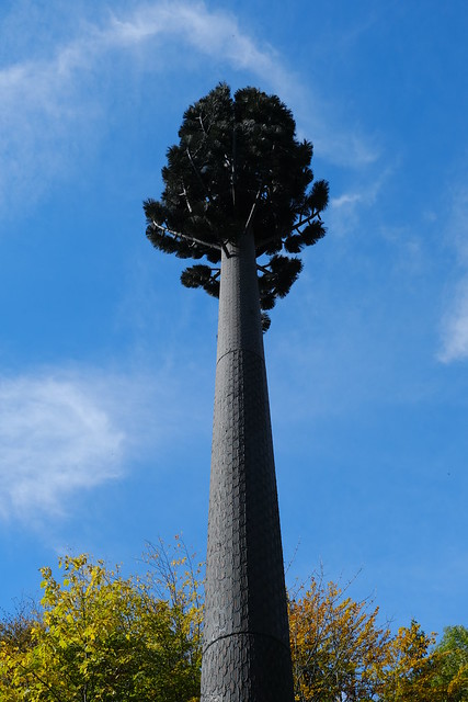
▲ Telecom antenna camouflaged as a tree.
▲ The trail to the summit of Pointe de Chenevier starts behind the antenna.
▲ Small trail to the summit.
▲ View from the summit of Pointe de Chenevier.
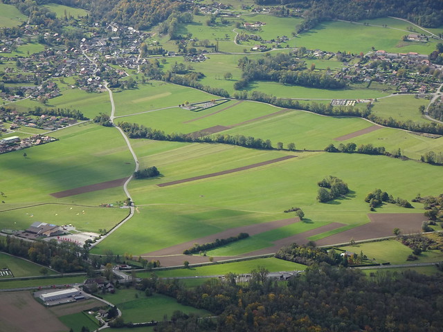
▲ Fields in Doussard.
▲ Réserve naturelle du Bout du Lac.
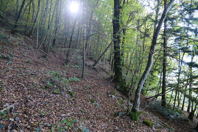
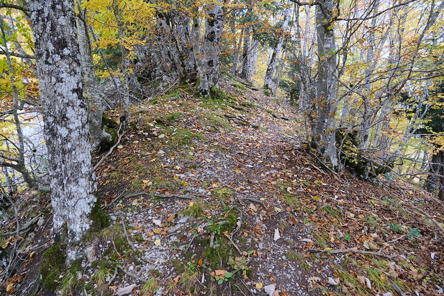
▲ Off-trail on the ridge.
▲ Le Pontet.
▲ Pointe de la Beccaz.
▲ I saw a dirt road and walk down to it.
▲ La Tournette.
▲ Pointe de la Rochette.
▲ Mamelon Vert.
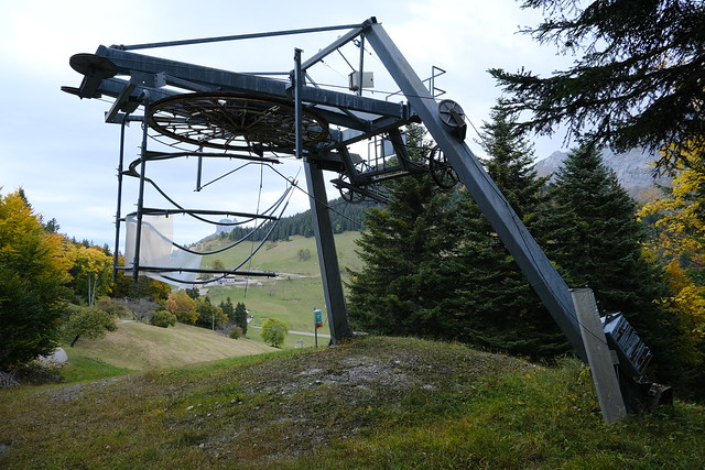
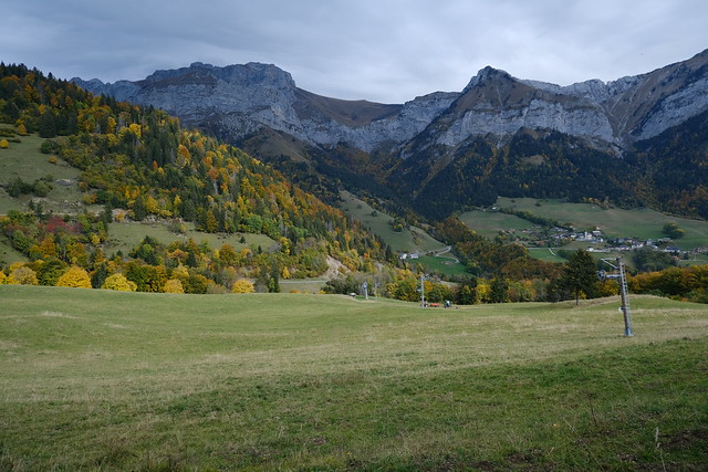
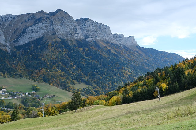
▲ Chairlift in Montmin.
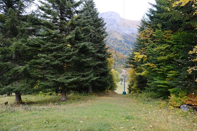
▲ I walked down the chairlift path to get to the main dirt road to Col de la Forclaz.
▲ Col de la Forclaz in view.
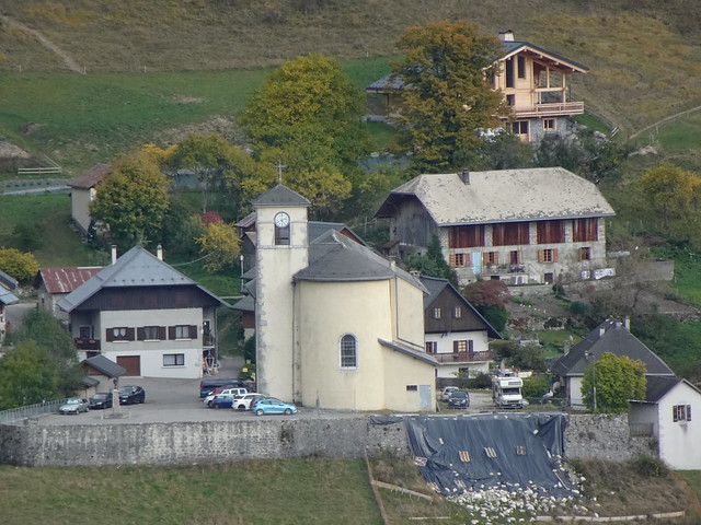
▲ Église Saint-Maurice in Montmin.
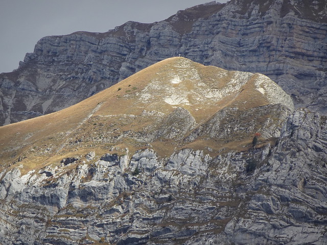
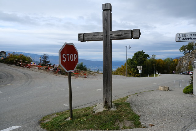
▲ Cross at Col de la Forclaz.
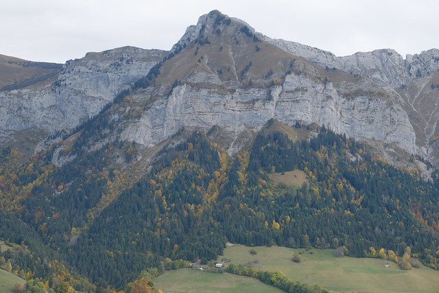
▲ Montagne du Charbon.
▲ On the way up.
▲ Pointe de la Rochette.
▲ Looking back at Col de la Forclaz.
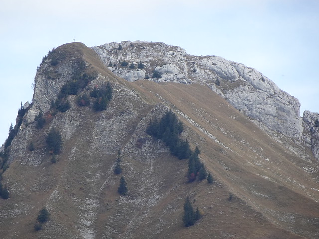
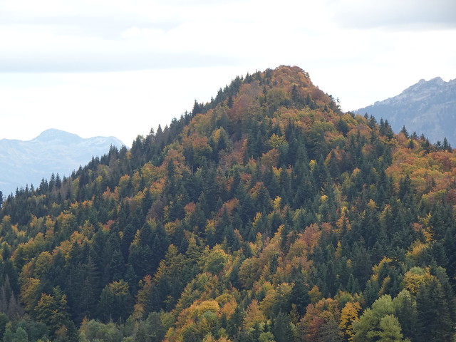
▲ Pointe de Chenevier.
▲ Roc des Boeufs.
▲ Roc de Chère.
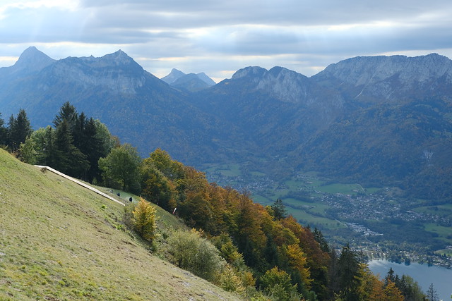
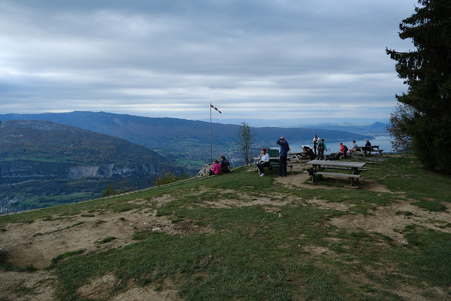
▲ Takeoff area for paragliders (Aire de décollage). There was no one taking off though.
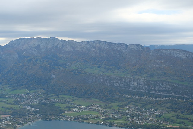
▲ Lake Annecy.
▲ Pointe du Velan and Pointe d’Arcalod.
▲ Bauges.
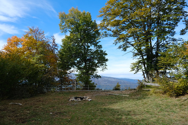
▲ Viewing area.
▲ Trail to Coche-Cabane.
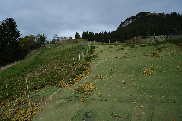
▲ Takeoff area of Coche-Cabane. I am not sure if it is still in use.
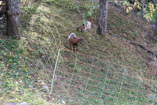
▲ Sheep.
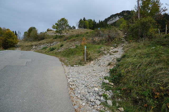
▲ Road to Col de la Forclaz.
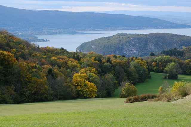
▲ Lake Annecy.
▲ On the way to Rovagny.
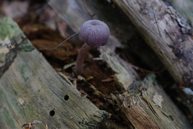
▲ Mushrooms.
▲ Rocher du Roux.
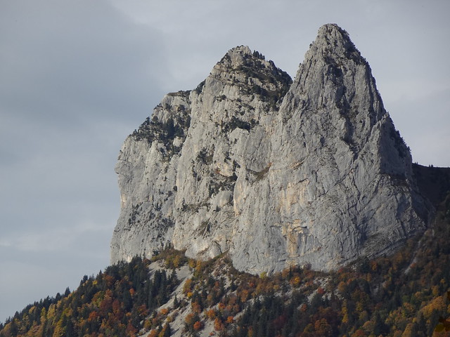
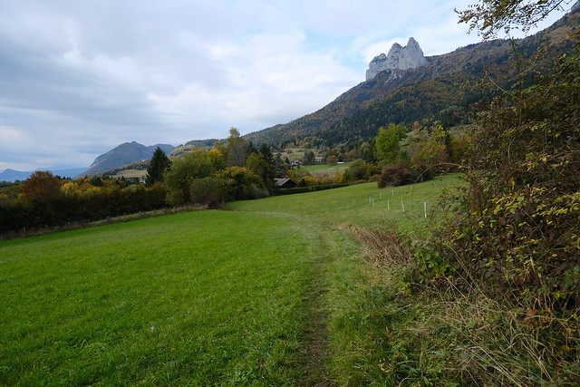
▲ Dents de Lanfon.
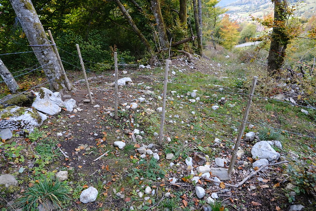
▲ Barbed wire on the path.
▲ Lanfonnet.
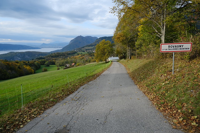
▲ Arriving in Rovagny.
▲ Roc de Chère.
▲ Rocher du Roux.
▲ La Tournette.
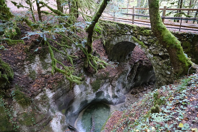
▲ Pont des Fées.
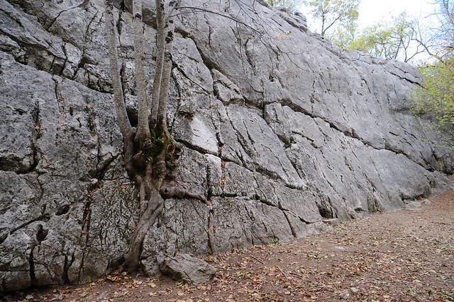
▲ Climbing wall for children.
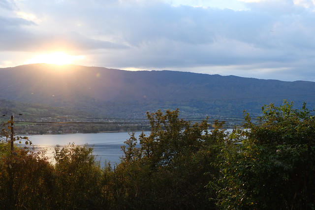
▲ Sunset over Semnoz.
▲ Bus stop in Talloires.
