Hike to Mont Rampignon & Mont Rampon
Last month, I went on a hike to Mont Rampignon and Mont Rampon, two small bumps on the north side of Mont Veyrier.
Here is a map of the path I walked:
- Download path KML
- Download large map
- More photos on Flickr
- Day of the hike: October 7, 2022
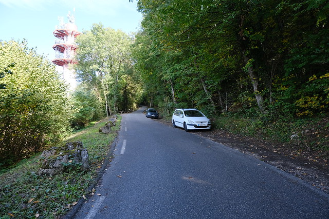
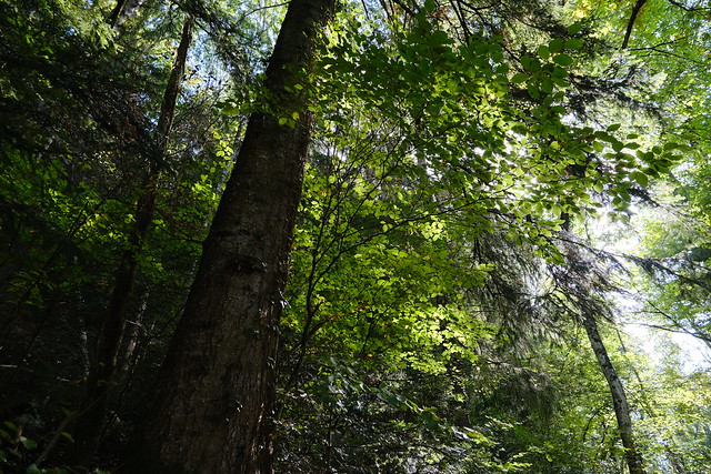
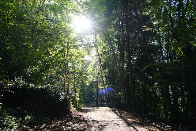
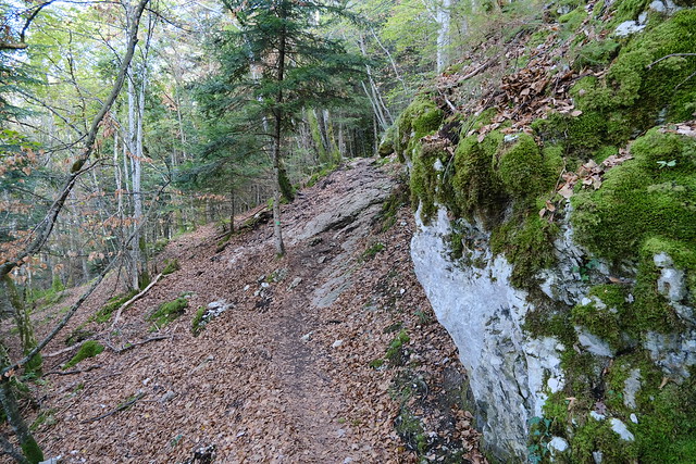
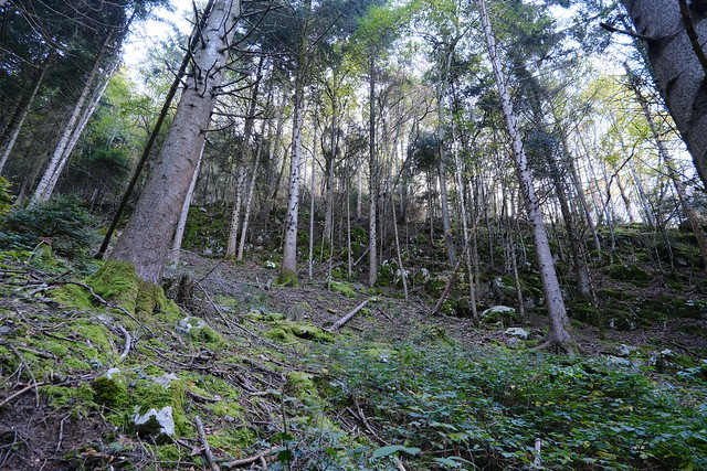
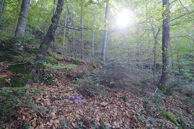
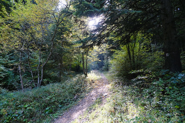
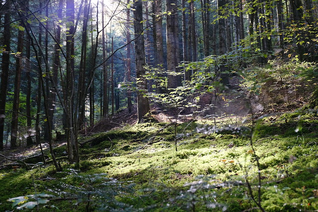
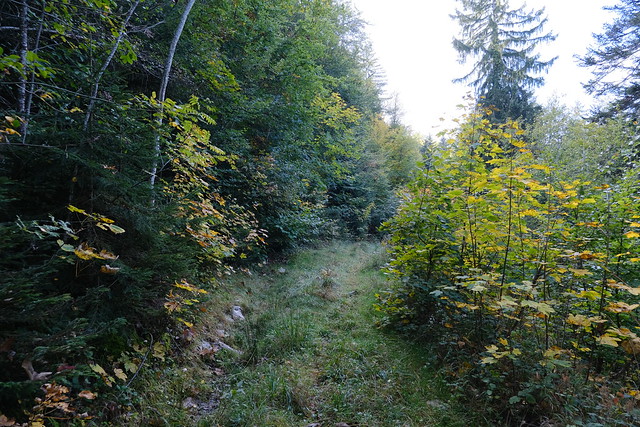
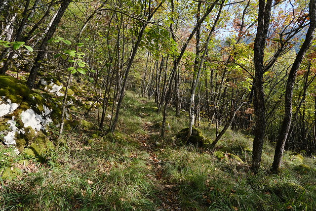
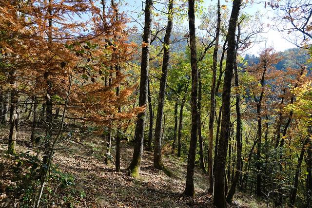
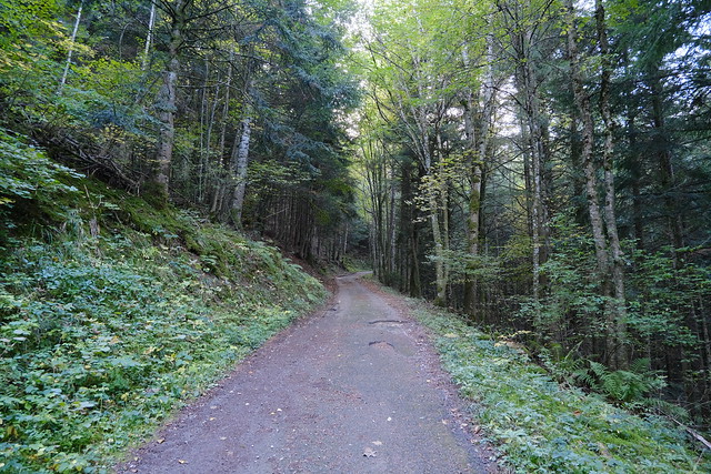
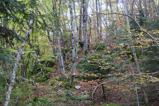
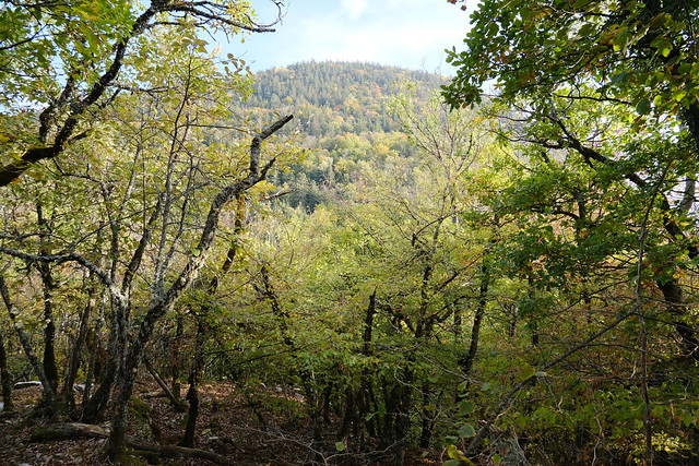
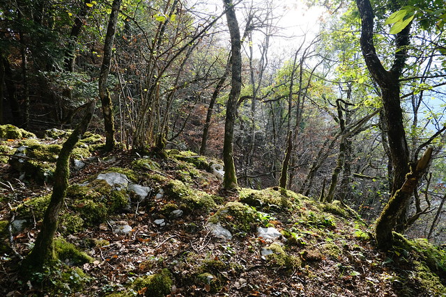
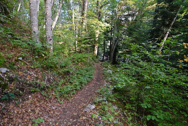
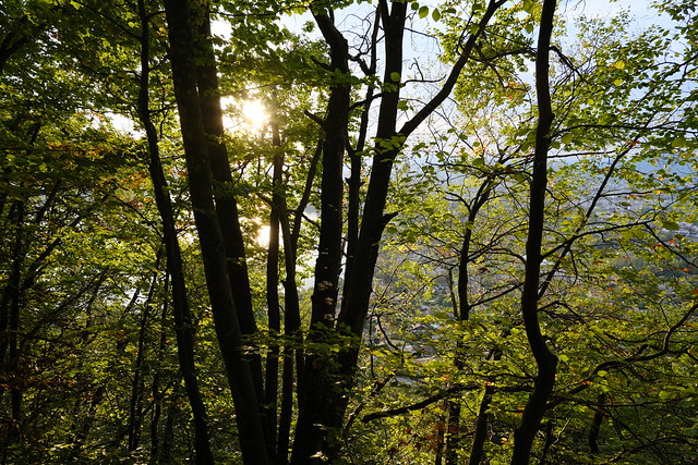
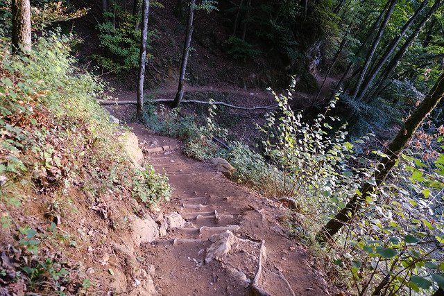
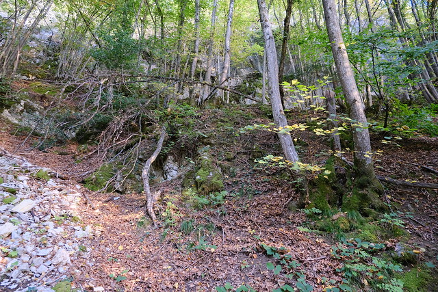
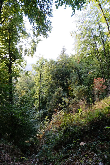
In early afternoon, I took a local bus to the top of the hill above Annecy-le-Vieux. I started walking on the side of the road towards Chanteloup and the big telecom antenna located below Mont Rampignon. I then followed the forest path around Mont Rampignon. At some point, I took a secondary trail that went up towards the summit. However, it stopped before reaching it so I walked off-trail from there. There was nothing special at the summit (just a plateau with more forest). I walked down towards Pré Longé. Then I followed the paved road that went up to Col du Pré Vernet. Before I reached the Col, I started walking off-trail in the forest towards the summit of Mont Rampon, the site of a celtic fortress (oppidum) during Roman times. I met a chamois along the way. Again, there was nothing special at the summit. I went down towards the viewpoint of Col du Pré Vernet to have a look at Lake Annecy. Finally, I followed the standard trail down to the lake.
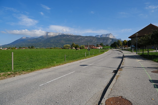
▲ Route de Thônes.
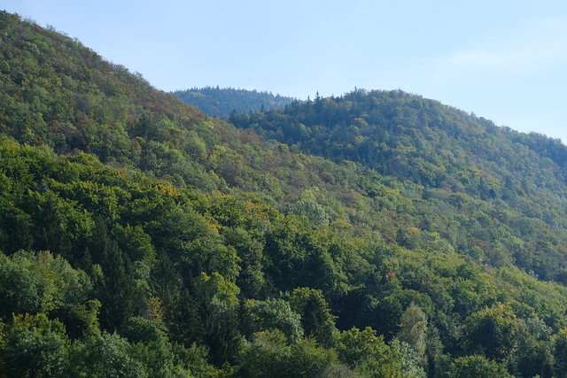
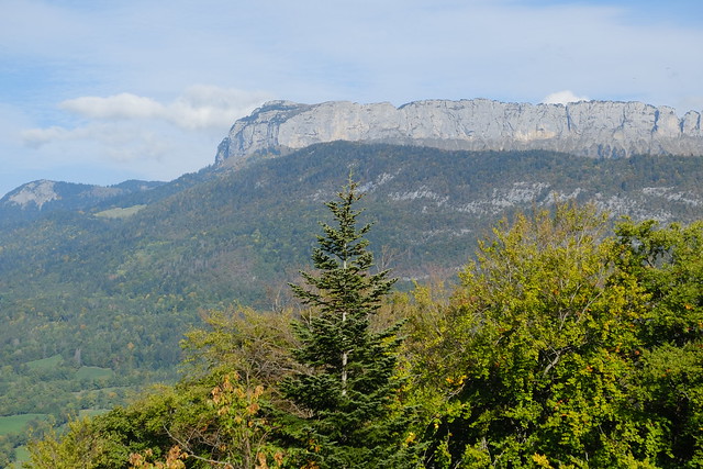
▲ Mont Rampon, Mont Veyrier and Mont Rampignon.
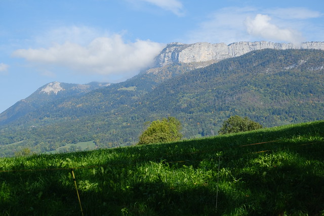
▲ Parmelan.
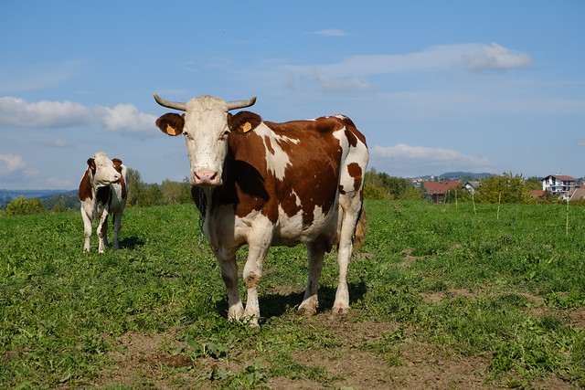
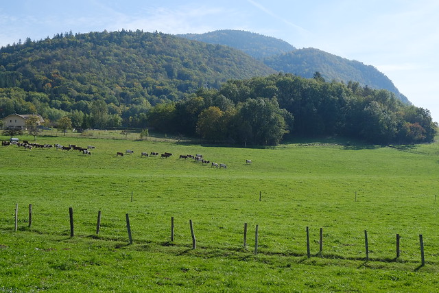
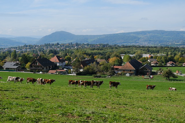
▲ Herd of cattle and Montagne de la Mandallaz in the background.
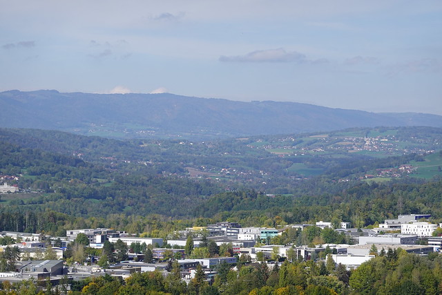
▲ Salève, with Parc des Glaisins (a business park) in the foreground.
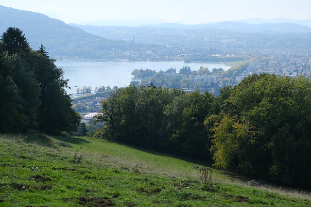
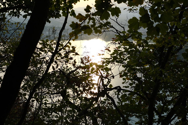
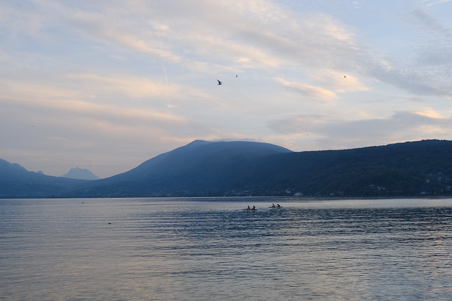
▲ Lake Annecy.
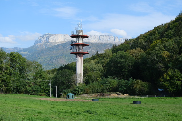
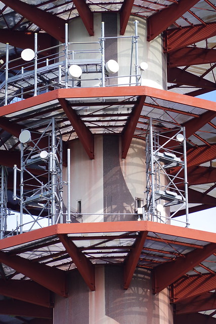
▲ Telecom antenna (Antenne Mobile Route du Plan de Sagran - Chanteloup).
▲ Mont Rampon ( the bump on the right).
▲ The path proper started near here.
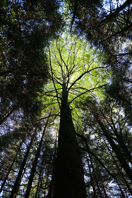
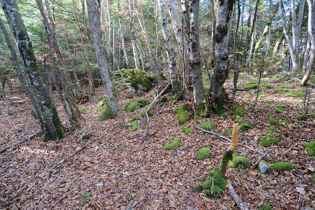
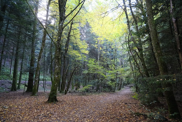
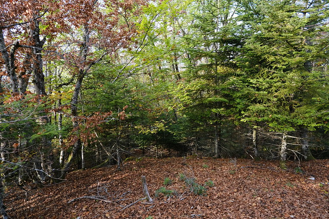
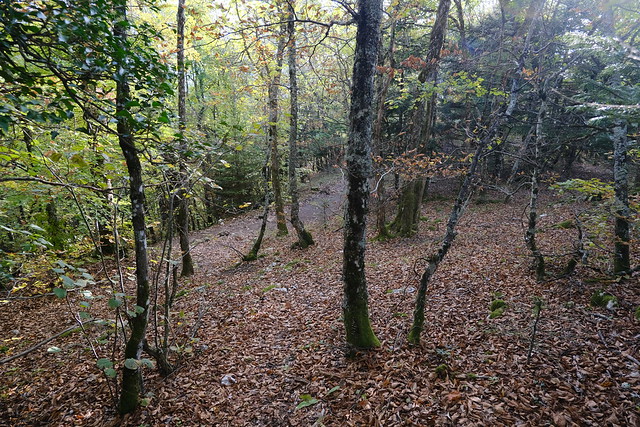
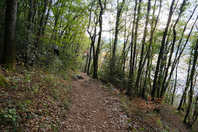
▲ Going around Mont Rampignon.
▲ Parmelan.
▲ Taking a secondary trail (marked on the IGN map) towards the summit of Mont Rampignon.
▲ Below the summit of Rampignon.
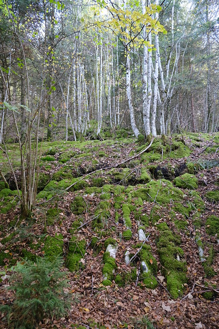
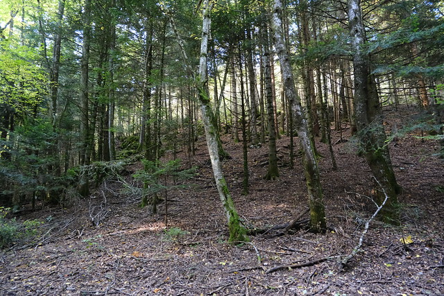
▲ I walked off-trail to the summit.
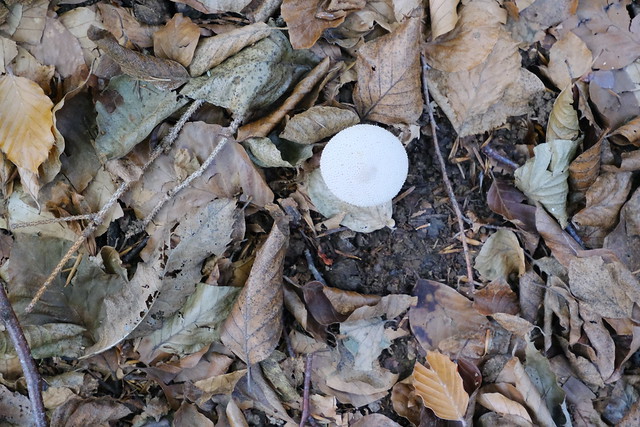
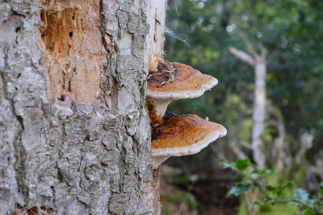
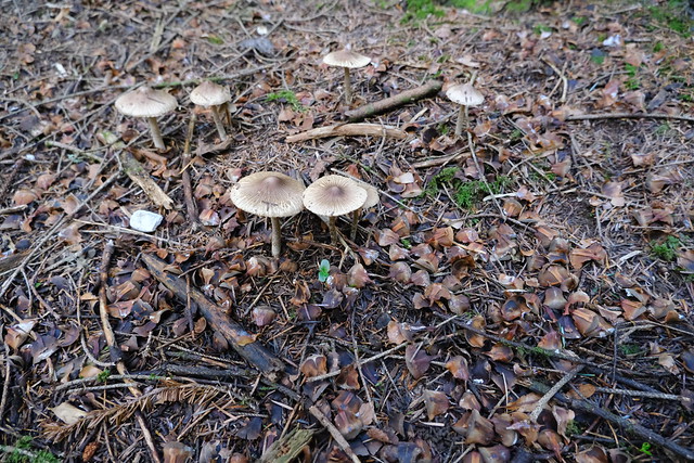
▲ Mushroom.
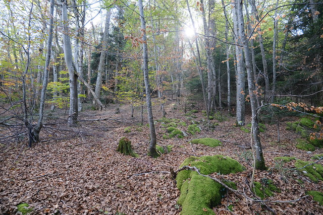
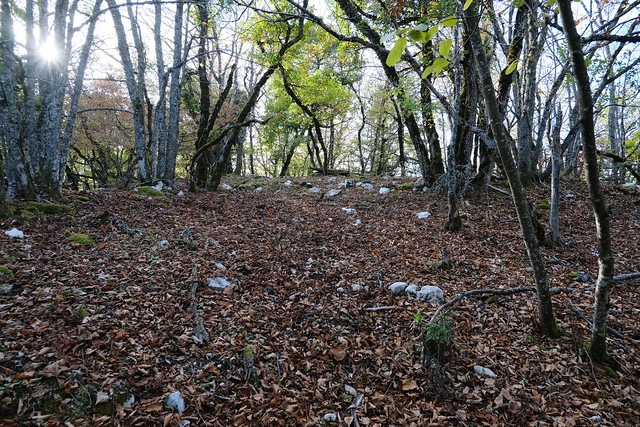
▲ Plateau at the summit of Mont Rampignon.
▲ Some human trace.
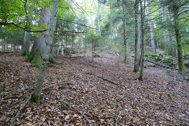
▲ On the way down to Pré Longé, still off-trail.
▲ I stumbled on a visible path. I followed it down.
▲ Above Pré Longé.
▲ Mushrooms.
▲ Track road at Pré Longé.
▲ Road to Col du Pré Vernet.
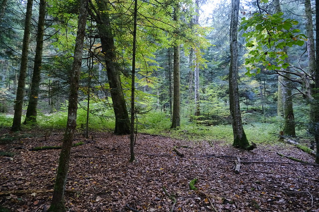
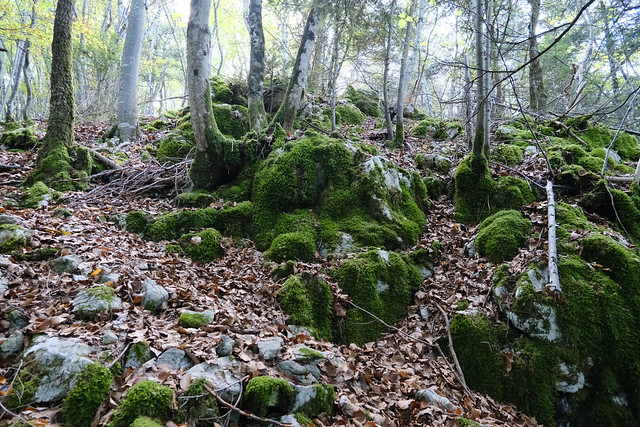
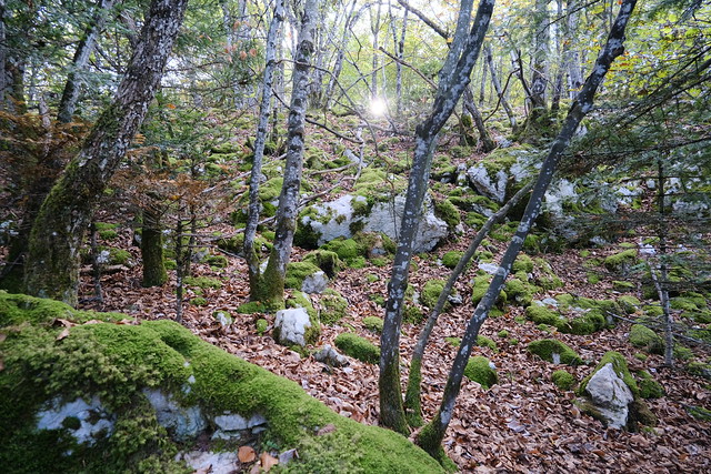
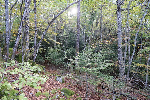
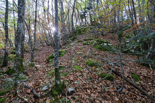
▲ Before I arrived at Col du Pré Vernet, I walked off-trail in the forest towards the summit of Mont Rampon. It was not as easy-going as the path to Mont Rampignon (it is easier from the other side, which I walked on the way down).
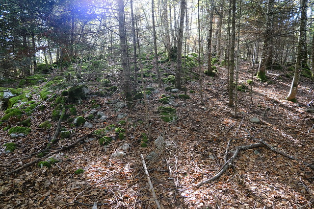
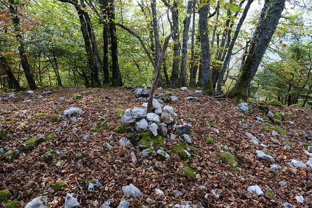
▲ That pile of stones looked a bit artificial. Maybe it was the wall of the Celtic fortress?
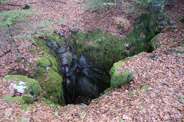
▲ Big hole.
▲ Chamois.
▲ Summit of Mont Rampon.
▲ Cairn.
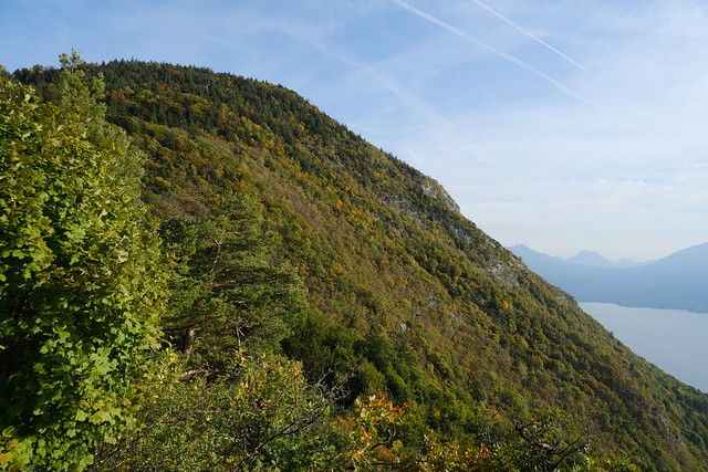
▲ Mont Veyrier.
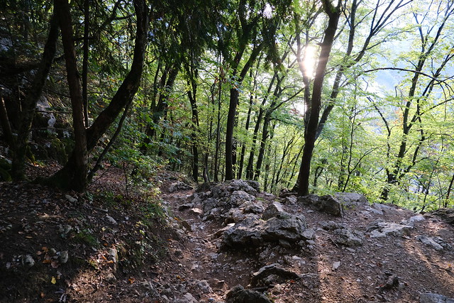
▲ On the way down.
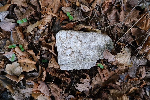
▲ Shellfish fossils.
▲ Arriving at the trail to the viewpoint of Col du Pré Vernet.
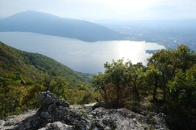
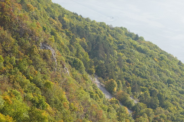
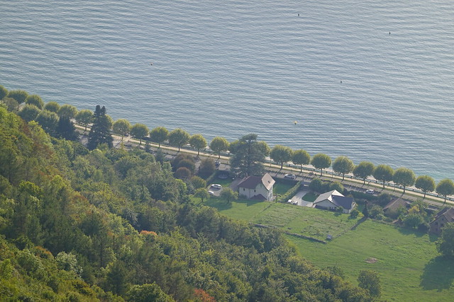
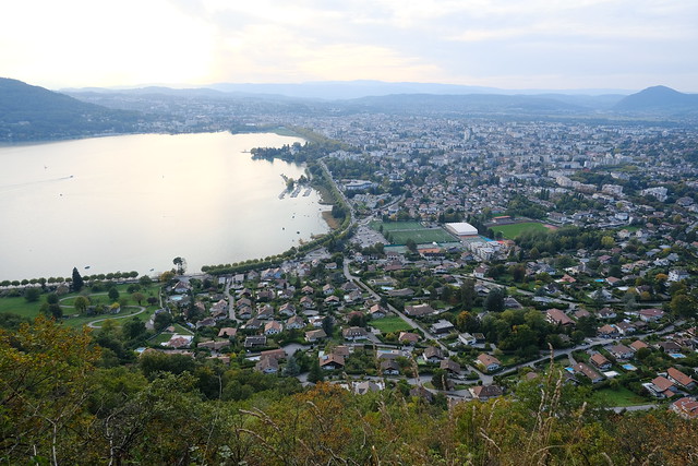
▲ Lake Annecy seen from the viewpoint of Col du Pré Vernet.
▲ The path to Talabar passes through that scree.
▲ Mont Veyrier.
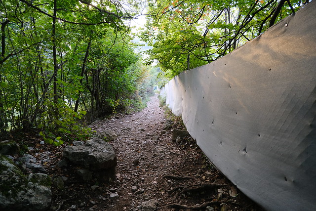
▲ On the way down to the lake.
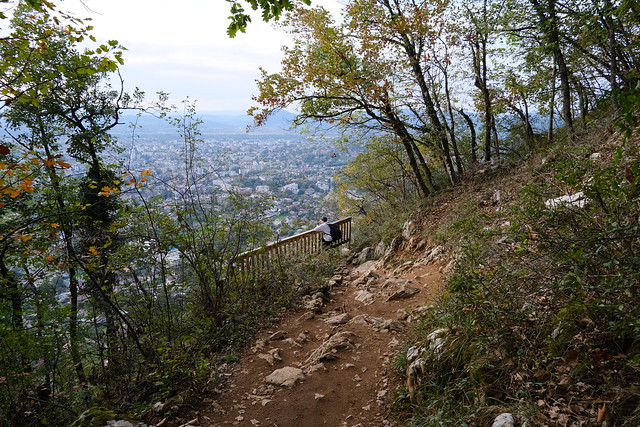
▲ Viewpoint. It has been installed in the last few years.
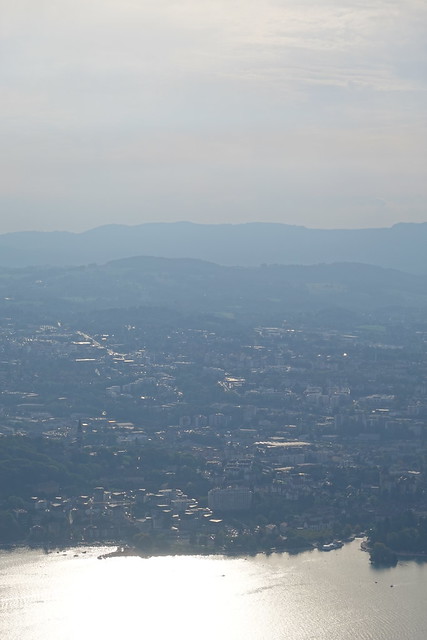
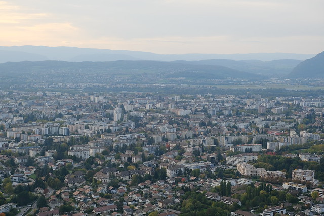
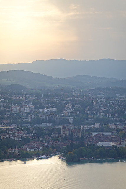
▲ Annecy.
▲ Mouth of the Thiou river.
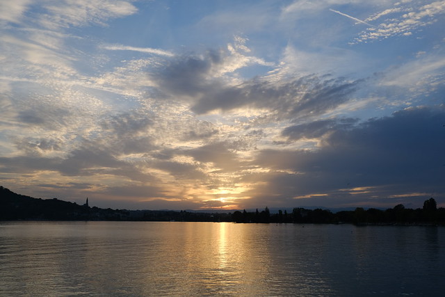
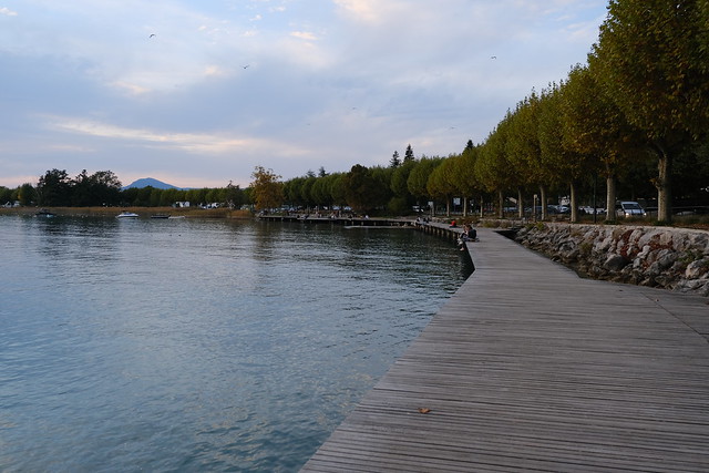
▲ At Lake Annecy.
▲ Semnoz.
