Hike to Col des Nantets, Col de l'Aulp & Col de la Forclaz: From Thônes to Doussard
In spring 2021, I walked from Thônes to Doussard, passing though 3 saddles: Col des Nantets, Col de l’Aulp and Col de la Forclaz.
Here is a map of the path I walked:
- Download path KML
- Download large map
- More photos on Flickr
- Day of the hike: June 1st, 2021
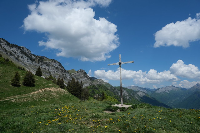
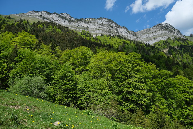
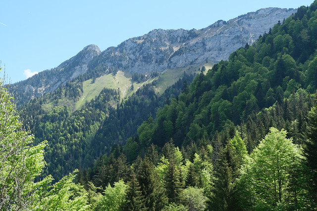
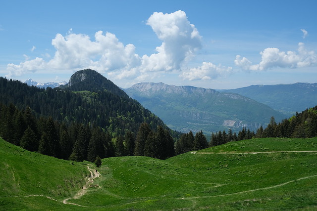
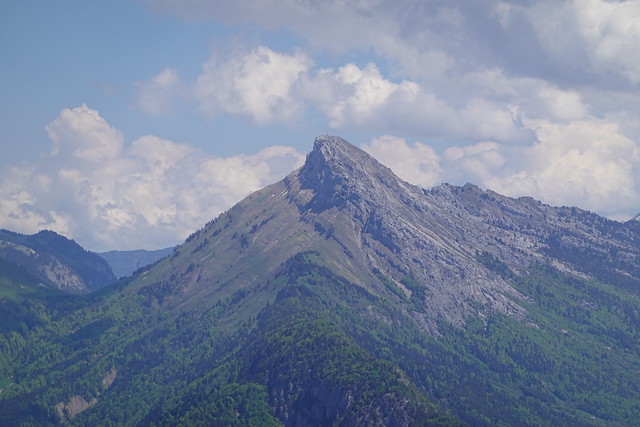
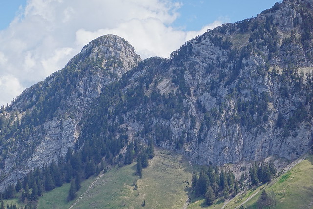
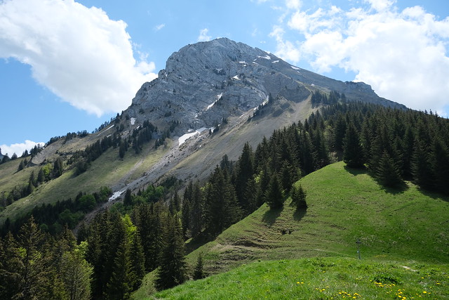
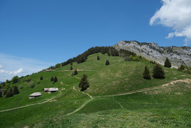
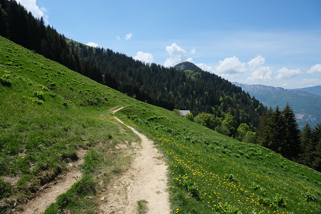
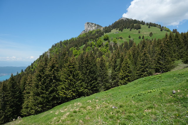
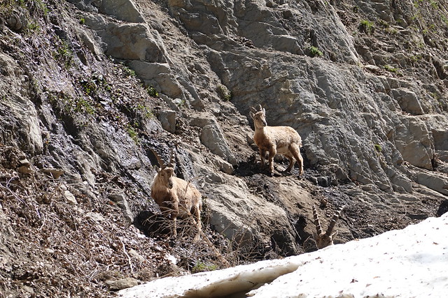
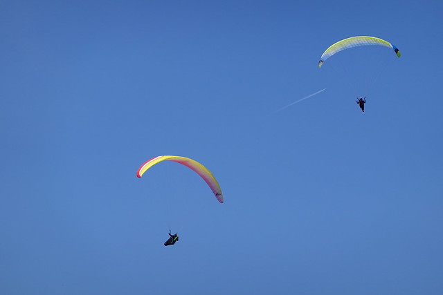
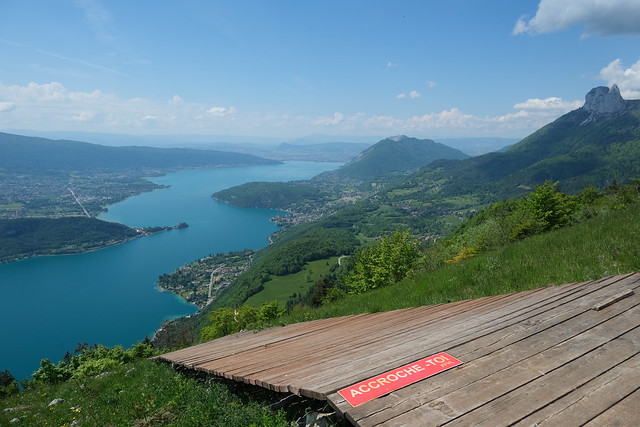
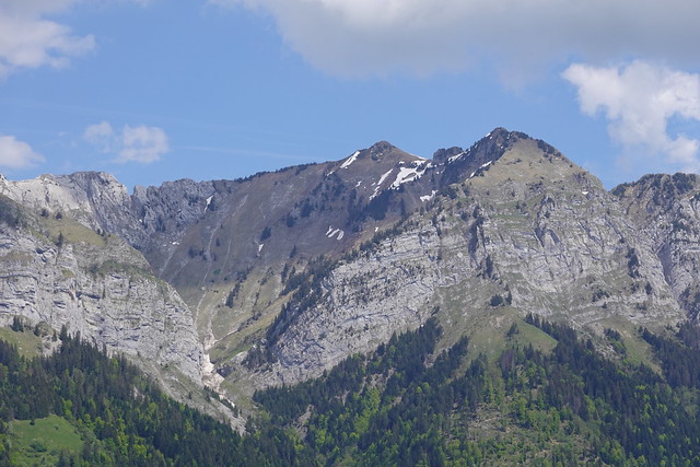
In the morning, I took a Car Région bus to Thônes. From there, I walked to the back of Vallée de Montremont using the paved road. I reached the forest after a while then started on the ascent to Col des Nantets. I then walked the short path to Chalet de l’Aulp and Col de l’Aulp, the usual starting point of the hike to La Tournette. I met a herd of alpine ibexes along the way. After that, I walked towards Col de la Forclaz, passing below Rocher du Roux and Pointe de la Rochette. I spent some time watching the paragliders taking off then started on the way down to Verthier in the valley. I waited for the bus to Annecy there.
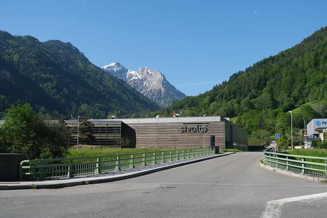
▲ In Thônes, looking towards Vallée de Montremont.
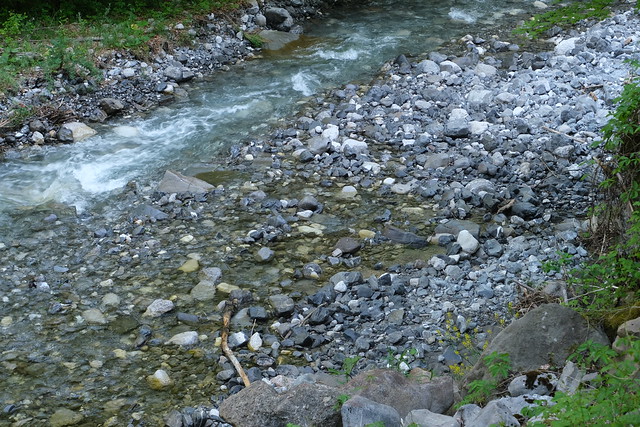
▲ Crossing the Fier river.
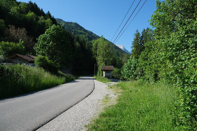
▲ Paved road.
▲ Malnant. It goes down Vallée de Montremont on the way to the Fier.
▲ Crêt de Pézollet.
▲ Col du Varo and Col des Nantets.
▲ Malnant.
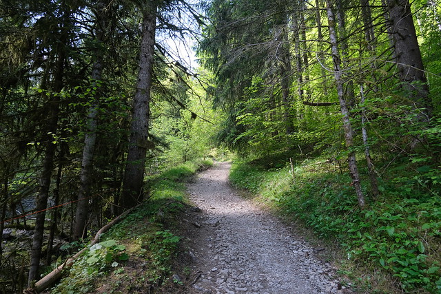
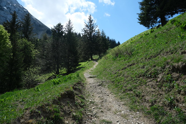
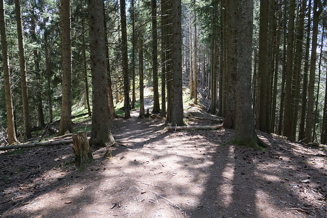
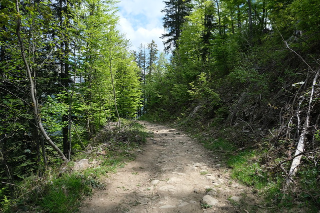
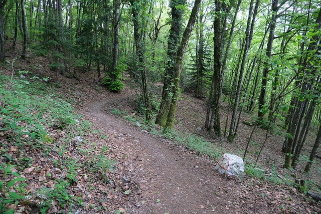
▲ Forest path to Col des Nantets.
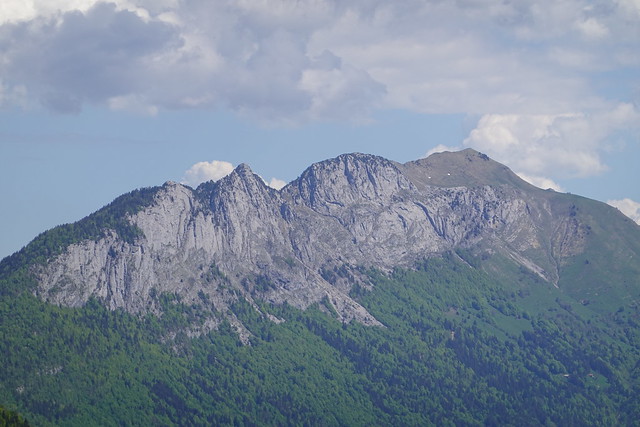
▲ Rochers du Varo.
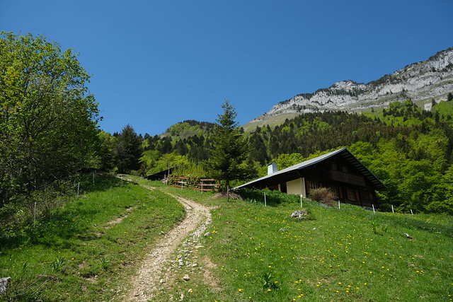
▲ Chalet du Mont, a private chalet.
▲ Arête du Sapey and Pointe de la Québlette.
▲ Montagne de Cotagne.
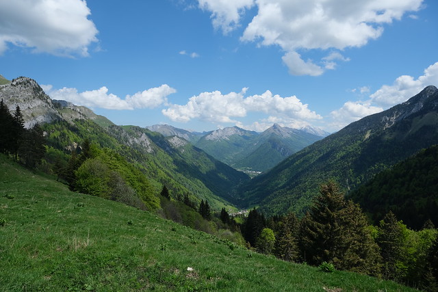
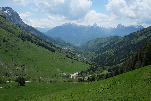
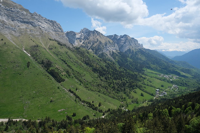
▲ Vallée de Montremont seen from Col des Nantets.
▲ The other side of Col des Nantets.
▲ Rocher de Belchamp.
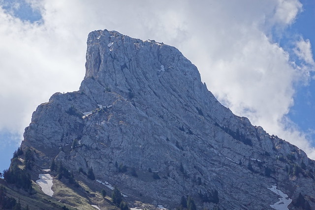
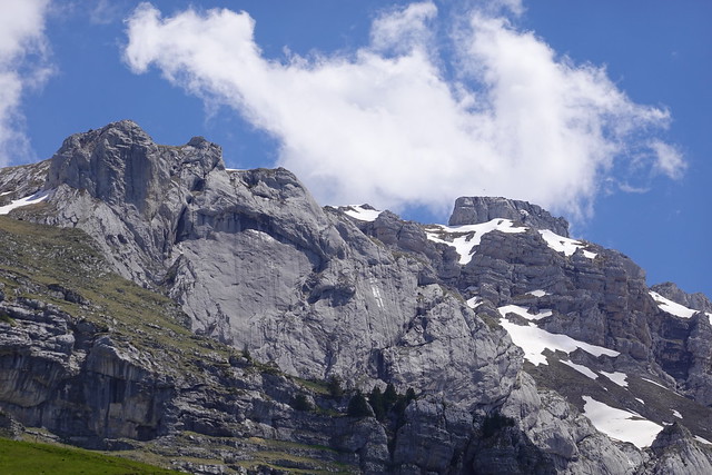
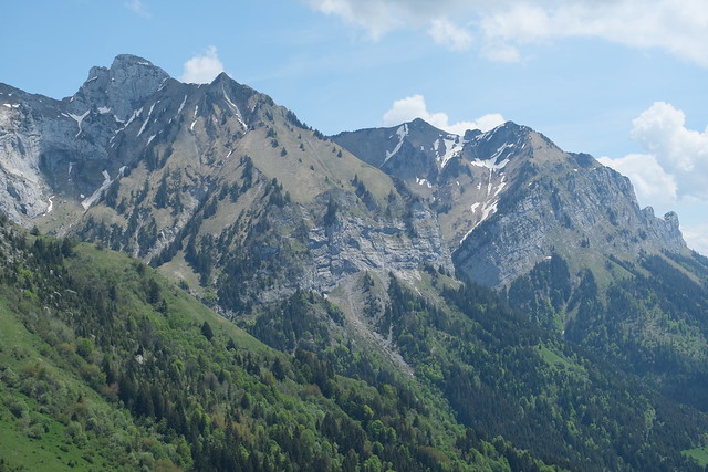
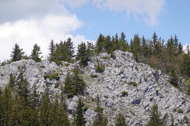
▲ Rocher du Roux.
▲ Rochers du Varo, towards La Tournette.
▲ Chalet des Nantets. Pas de l’Aulp is that way.
▲ On the way to Col de l’Aulp.
▲ Roche Murraz.
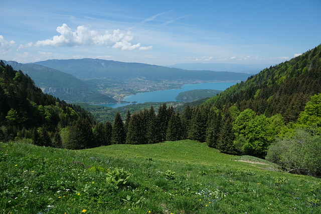
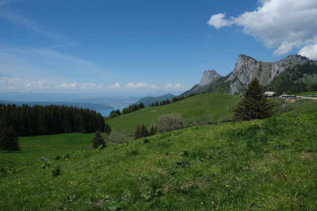
▲ Lake Annecy, from Chalet des Crottes.
▲ Ford across Nant d’Oy.
▲ Alpine ibexes.
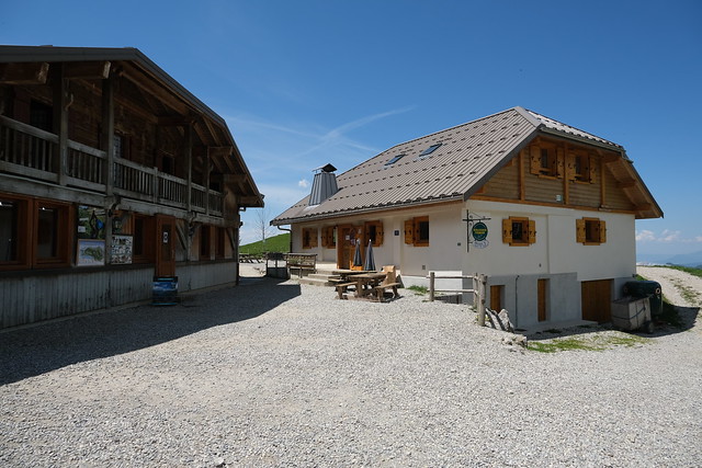
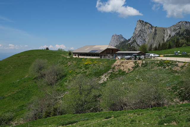
▲ Chalet de l’Aulp.
▲ La Tournette.
▲ Chalet de l’Aulp seen from Col de l’Aulp.
▲ Grazing cattle.
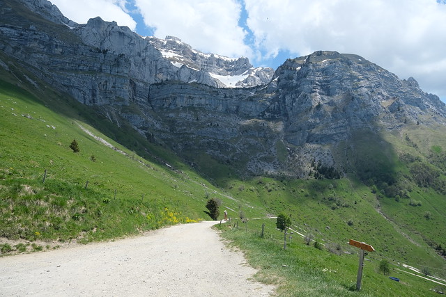
▲ This road goes down towards Montmin.
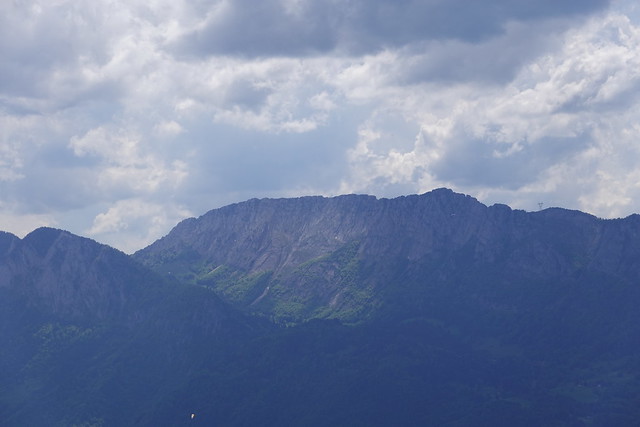
▲ Rocher du Roux.
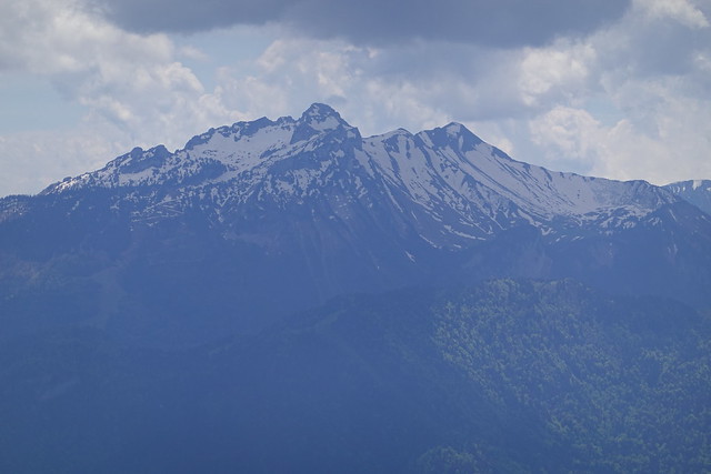
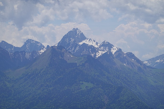
▲ Pointe de la Sambuy.
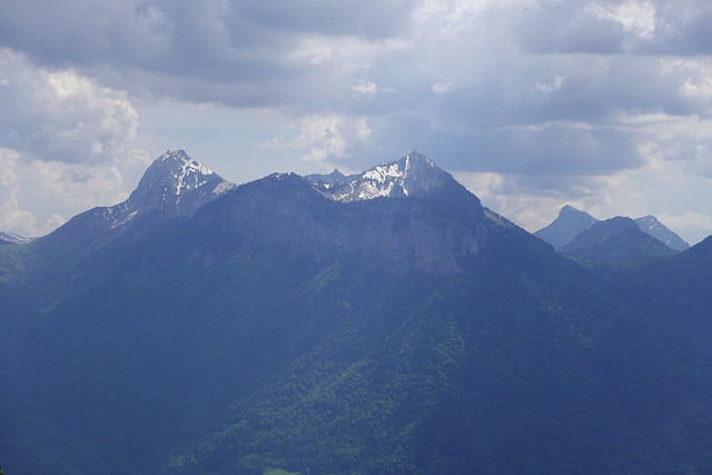
▲ Pointe de Velan and Arcalod.
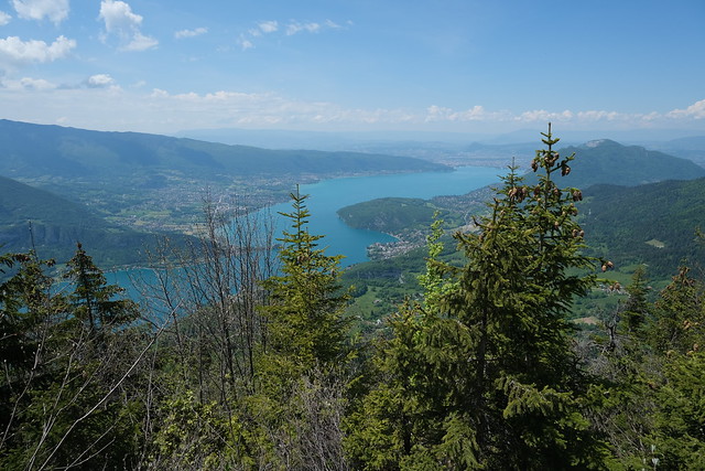
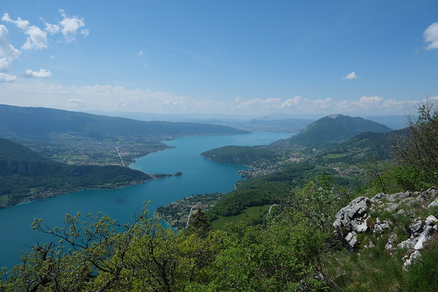
▲ Lake Annecy.
▲ Montmin.
▲ On the way to Col de la Forclaz.
▲ La Tournette.
▲ Pointe de la Beccaz and Crêt des Mouches.
▲ Rocher du Roux seen from Panorama du Rocher du Roux.
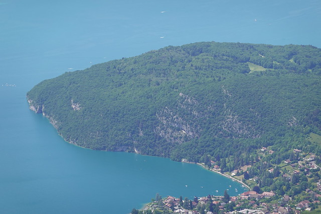
▲ Roc de Chère and Baie de Talloires.
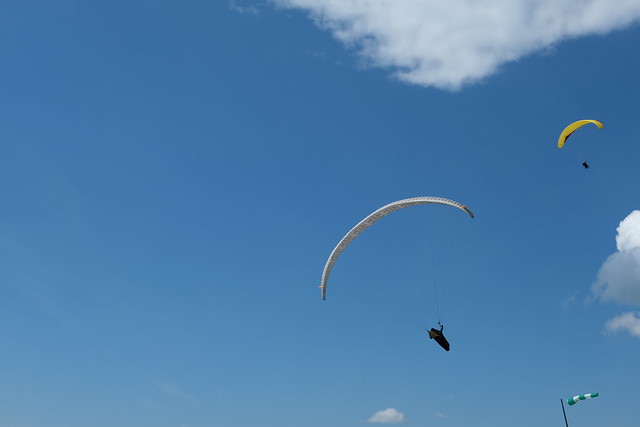
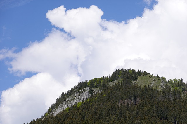
▲ Paragliders.
▲ Pointe de la Beccaz.
▲ Take-off area for paragliders above Col de la Forclaz.
▲ Lake Annecy.
▲ Roc des Boeufs.
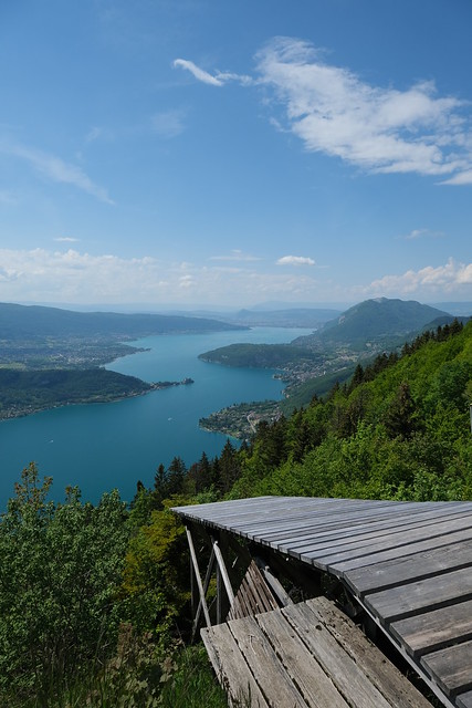
▲ Take-off ramp for hang gliders.
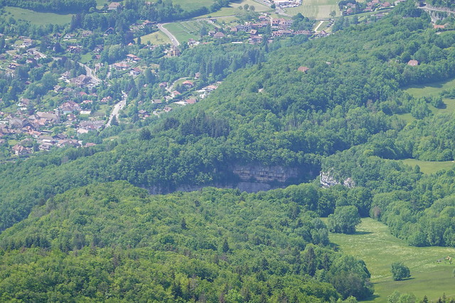
▲ Towards the canyon of Cascade d’Angon.
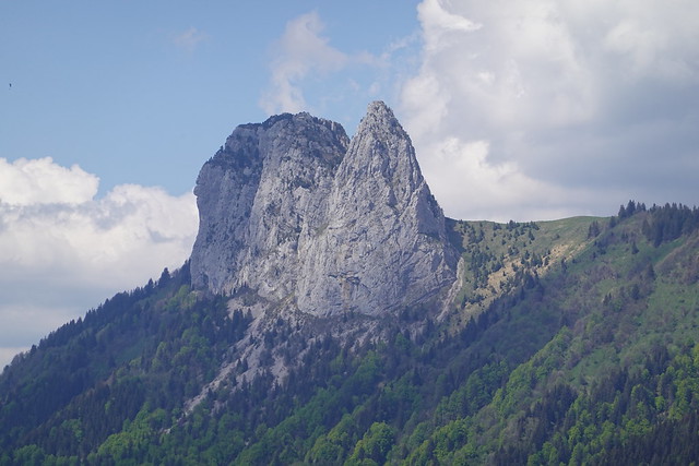
▲ Dents de Lanfon.
▲ Montagne du Charbon.
▲ On the way to Col de la Forclaz.
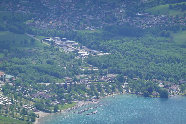
▲ Port de Doussard.
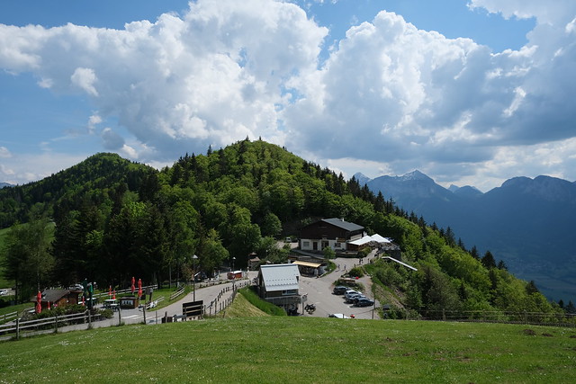
▲ Col de la Forclaz.
▲ Le Pontet.
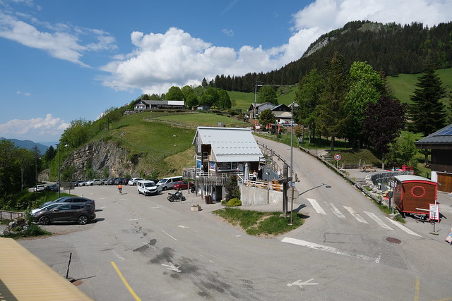
▲ At Col de la Forclaz.
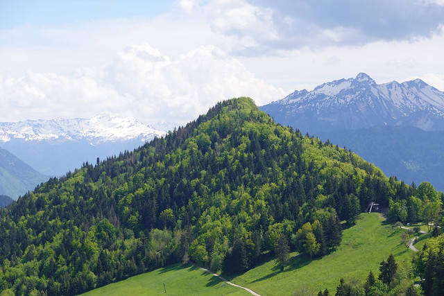
▲ Pointe de la Rochette.
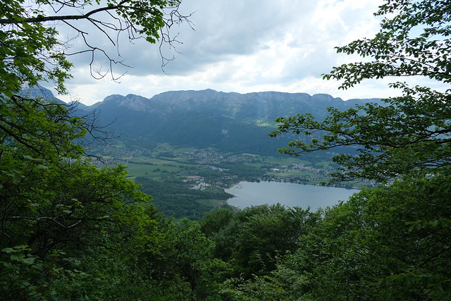
▲ Lake Annecy.
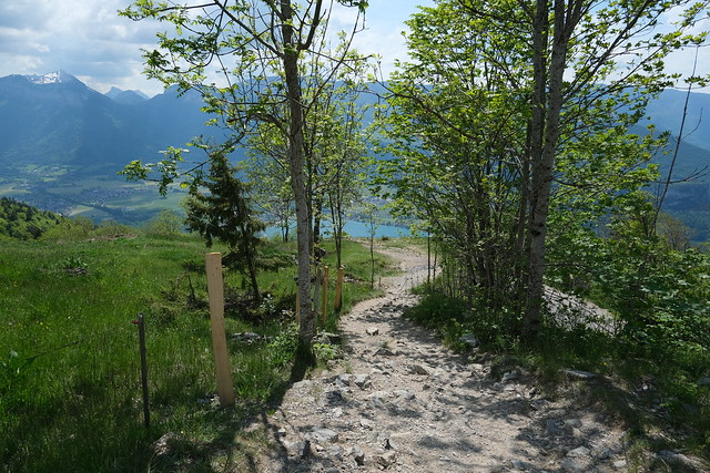
▲ On the way down to Verthier.
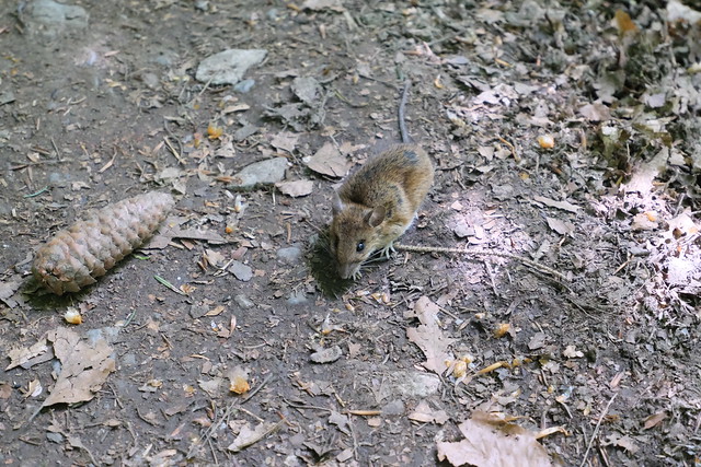
▲ I met this rodent in the forest.
▲ It started to rain pretty hard.
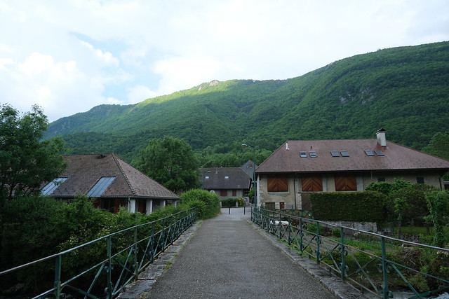
▲ At Pont de Verthier, looking towards Pointe de Chenevier.
