Hike to Roc de Charmieux
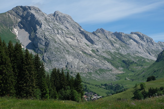
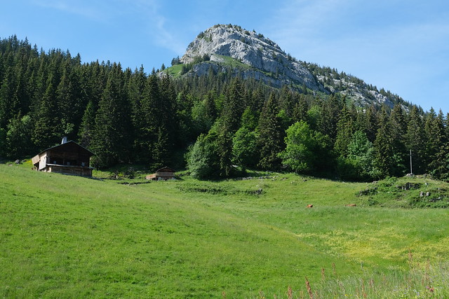
At the beginning of the summer of 2021, I went on a hike to Roc de Charmieux, in Le Grand-Bornand. It is the westernmost summit of the Bargy range, a subchain of the Bornes mountains.
Here is a map of the path I walked:
- Download path KML
- Download large map
- More photos on Flickr
- Day of the hike: June 26th, 2021
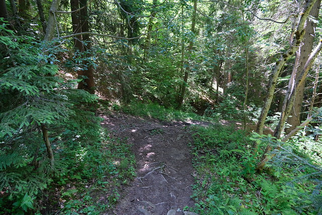
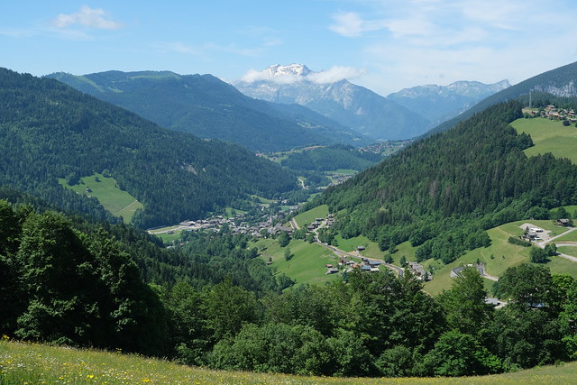
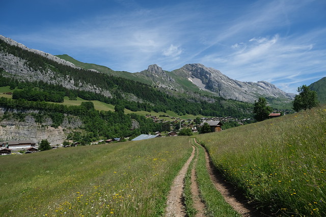
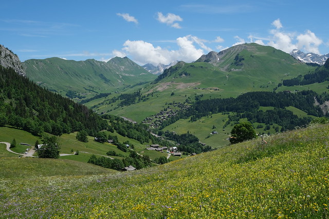
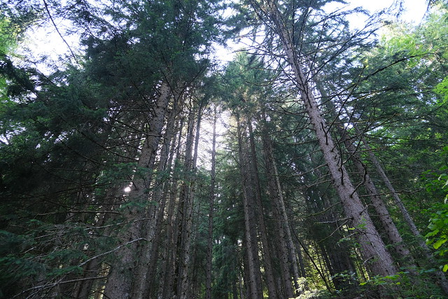
In the morning, I took a Car Région bus to Le Grand-Bornand. I then boarded the Télécabine du Rosay to get to La Côte. Instead of going down directly to Le Chinaillon, I went to the summit of Mont Lachat de Châtillon using Télésiège du Mont Lachat. After getting back to La Côte, I started walking down on the trail to Le Chinaillon. Once there, I made a detour to Chapelle du Chinaillon then started on the way up towards La Culaz, below Roc de Charmieux. I found the unmarked trail to the the summit and followed it. There was a part which was quite steep. At the summit, there was a great view. Even Lake Geneva could be seen. I went down to La Culaz using the same trail, then looped back to Le Grand-Bornand by taking a trail through Rochers de la Forclaz and Plan de la Forclaz.
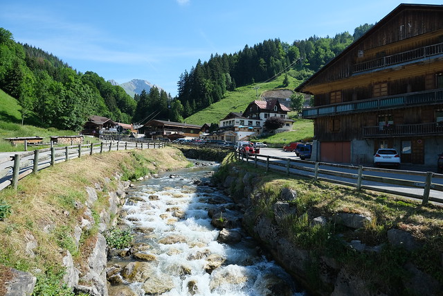
▲ Borne river near the lower station of Télécabine du Rosay.
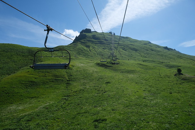
▲ On the chairlift to Mont Lachat de Châtillon.
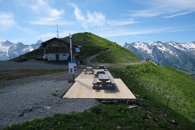
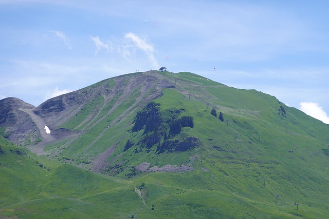
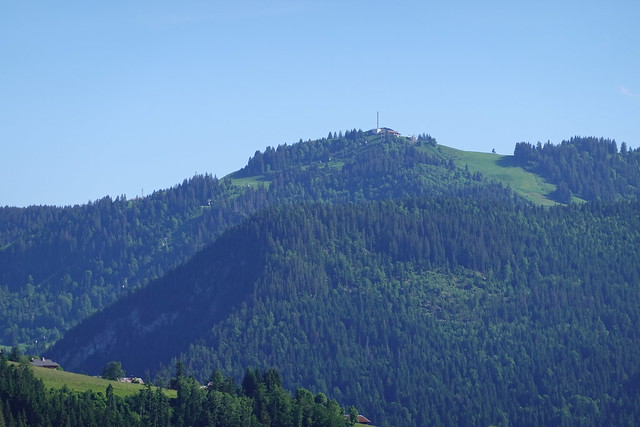
▲ Summit of Mont Lachat.
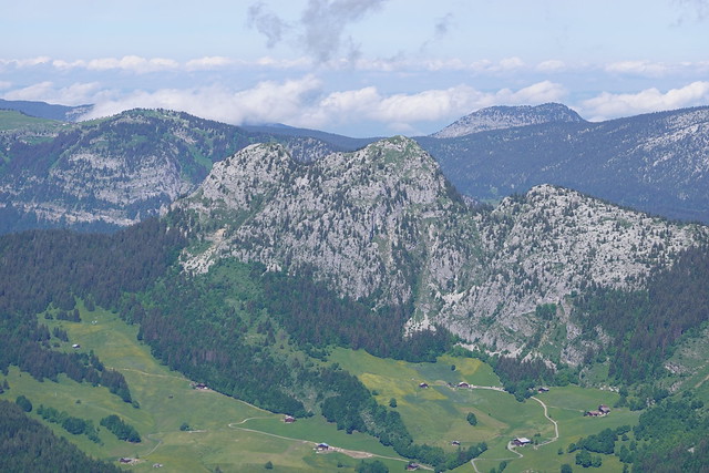
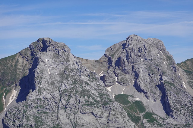
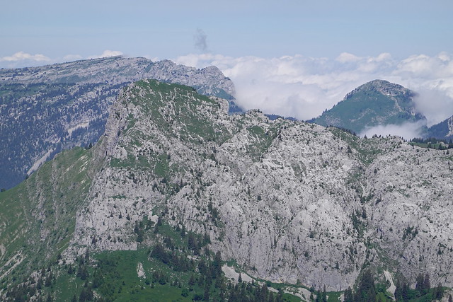
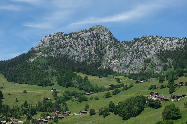
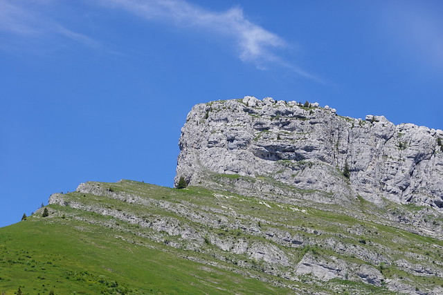
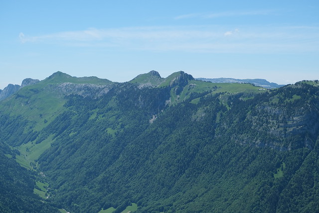
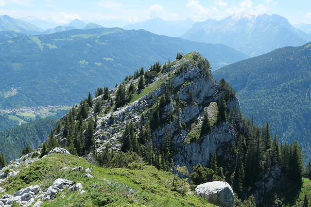
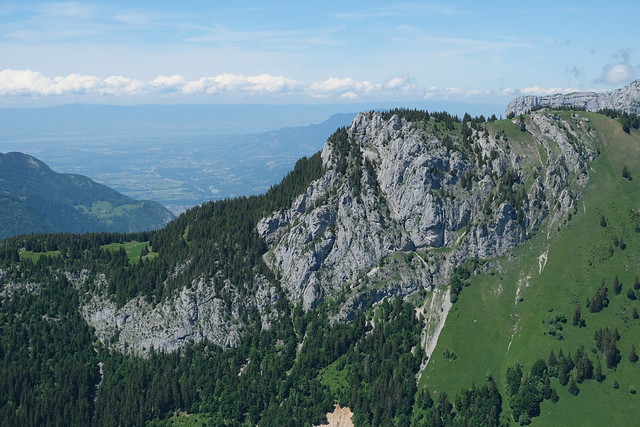
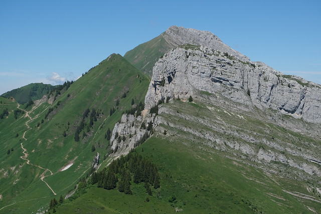
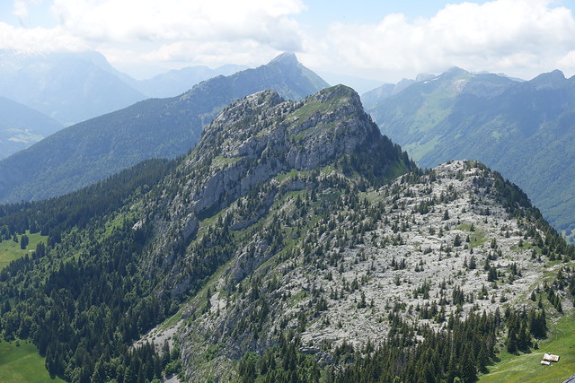
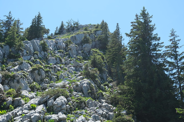
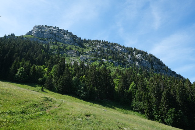
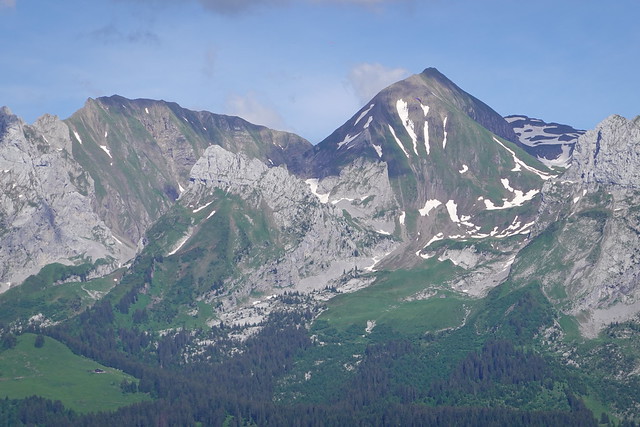
▲ Roc de Charmieux.
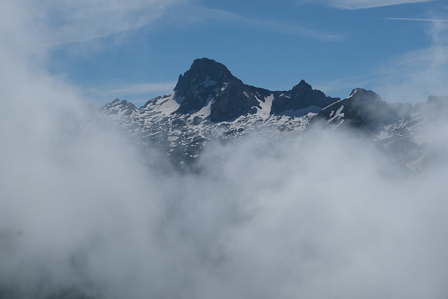
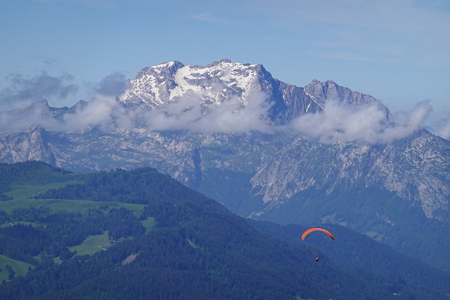
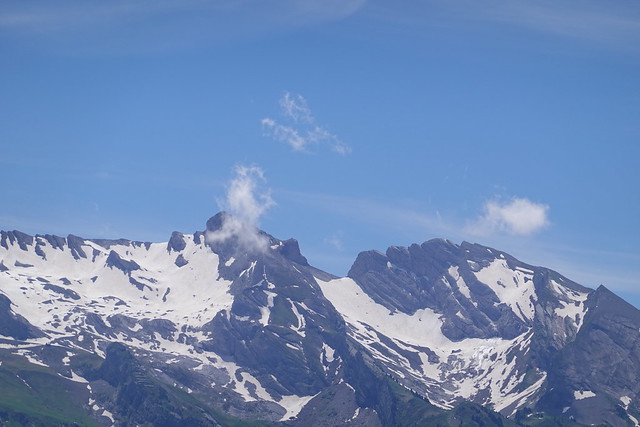
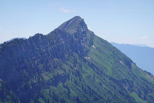
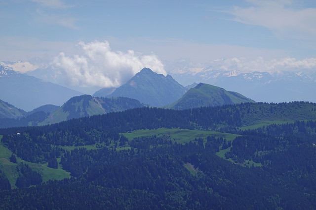
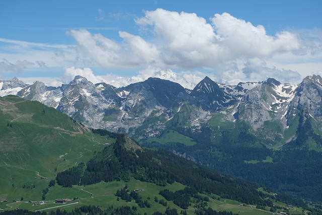
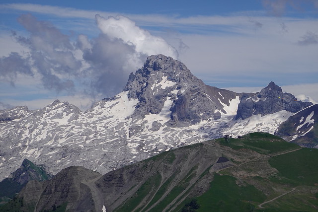
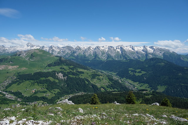
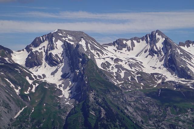
▲ Pointe Percée.
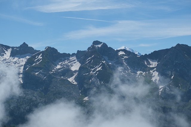
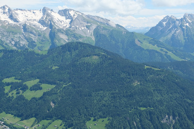
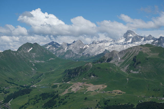
▲ Mont Charvet and the tip of Mont Blanc.
▲ Towards Clef des Annes,
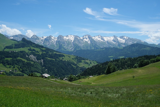
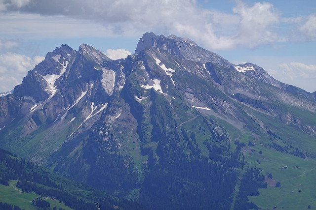
▲ Pic de Jallouvre and Pointe du Midi.
▲ La Tournette.
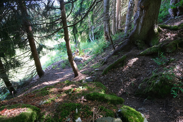
▲ On the way down to Le Chinaillon.
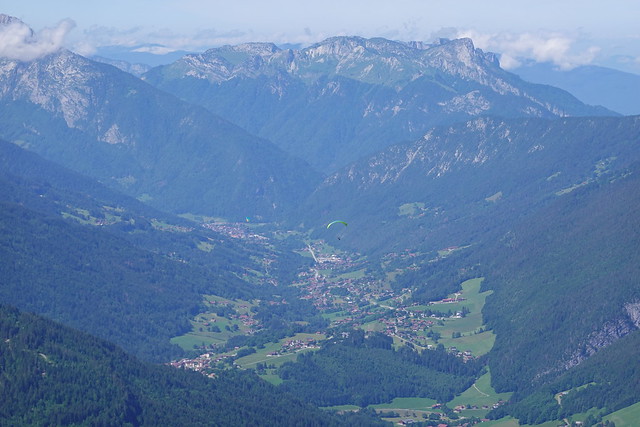
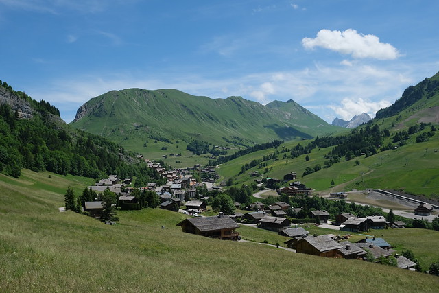
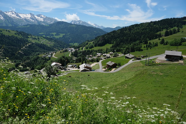
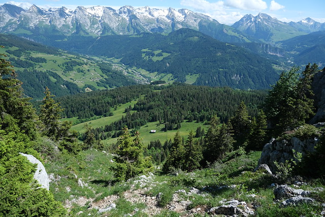
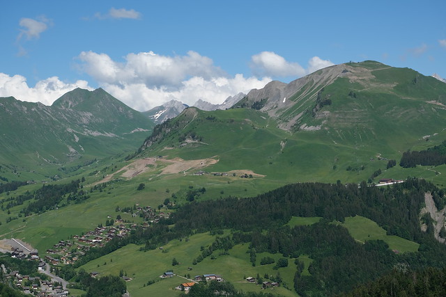
▲ Towards Le Grand-Bornand.
▲ Arriving at Le Chinaillon.
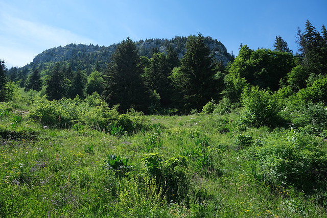
▲ Roc de Charmieux.
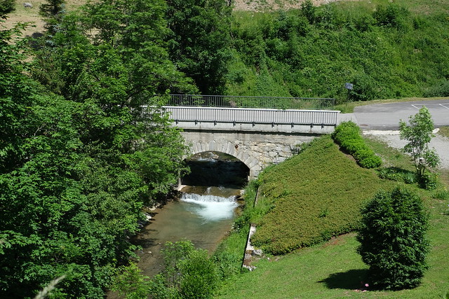
▲ Bridge on the Borne river.
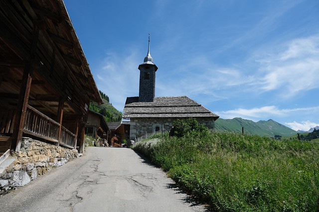
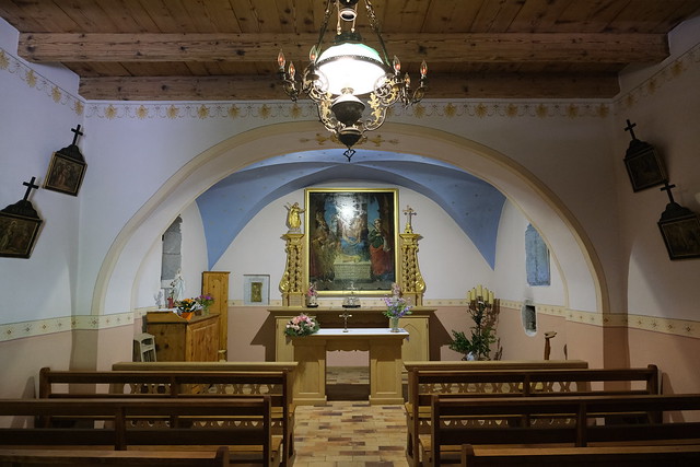
▲ Chapelle du Chinaillon.
▲ Pointe de Deux Heures.
▲ Les Parrossaz, Porte des Aravis and Aiguille de Borderan.
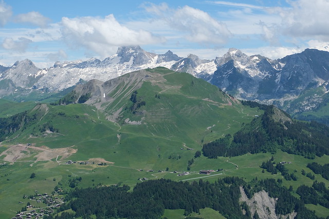
▲ Mont Lachat de Châtillon.
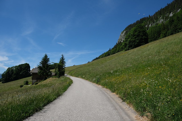
▲ Arriving at La Culaz.
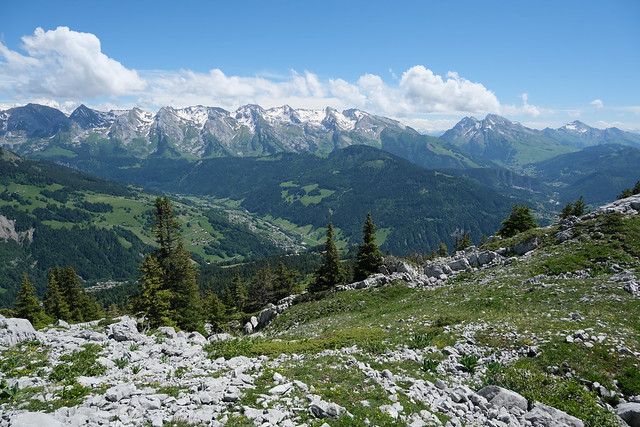
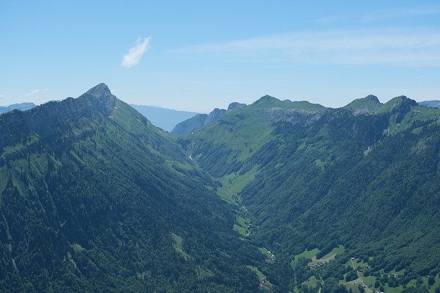
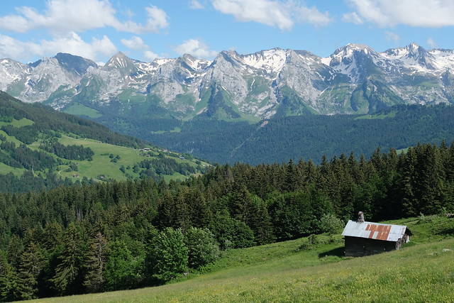
▲ Aravis.
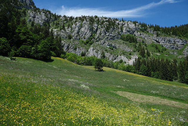
▲ Roc des Tours.
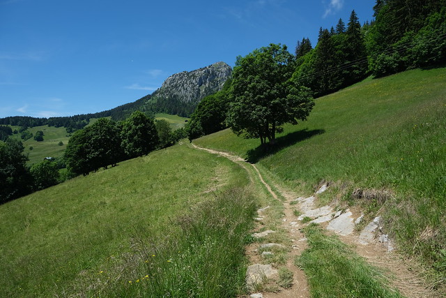
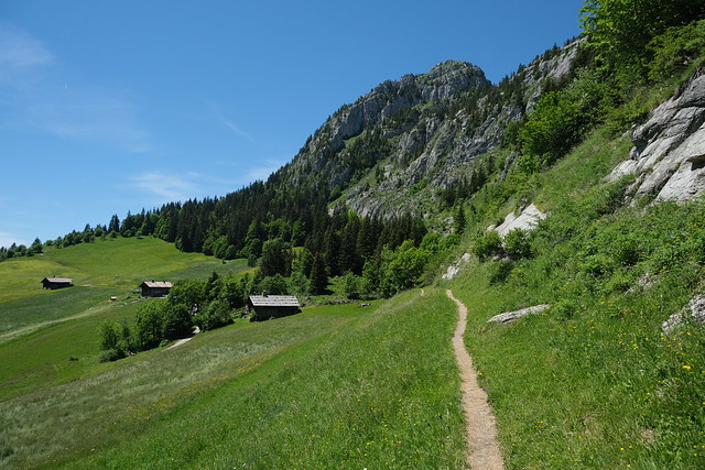
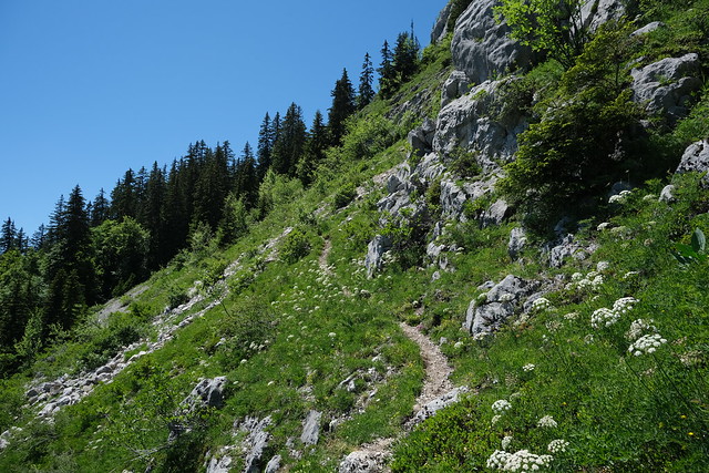
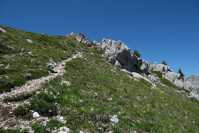
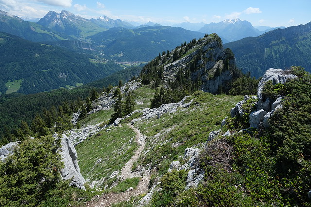
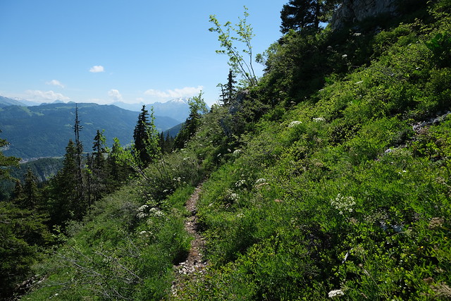
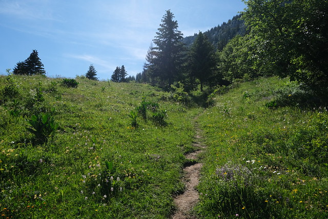
▲ On the trail to Roc de Charmieux.
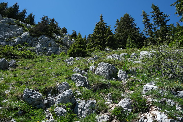
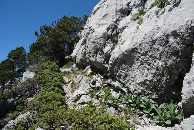
▲ Steep.
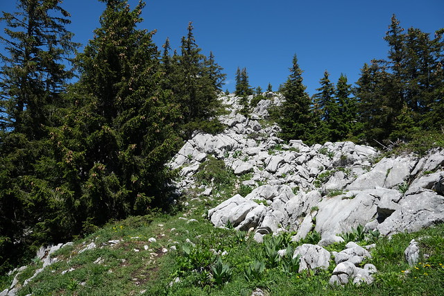
▲ At a saddle between the main summit and the second summit.
▲ Col de Spée and Roche Parnal.
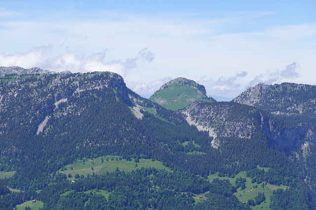
▲ Pointe de Puvat.
▲ Mont Lachat de Châtillon.
▲ Col de la Buffaz and Entremont.
▲ Dent de Cons.
▲ Second summit. It is accessible but I didn’t have time to go.
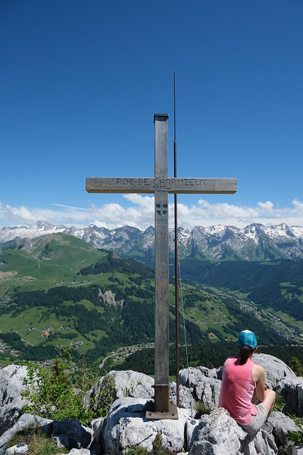
▲ Cross at the summit of Roc de Charmieux.
▲ Pointe de Deux Heures and Pointe de Grande Combe.
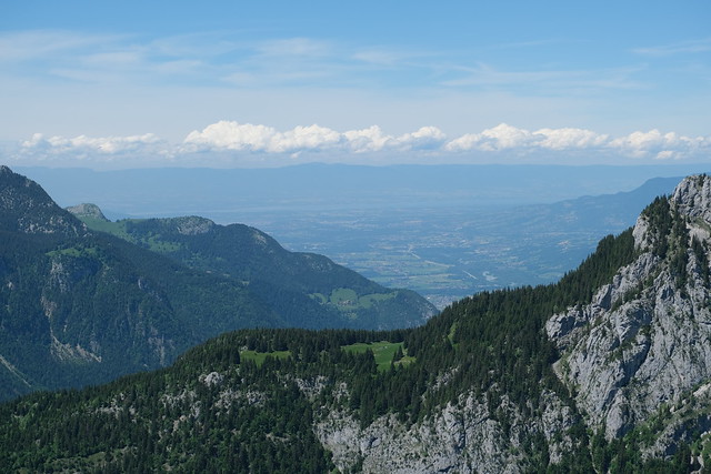
▲ Lake Geneva (Lac Léman) was visible.
▲ Aravis.
▲ Col de la Forclaz, towards Lac de Lessy.
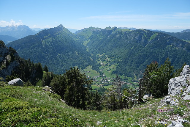
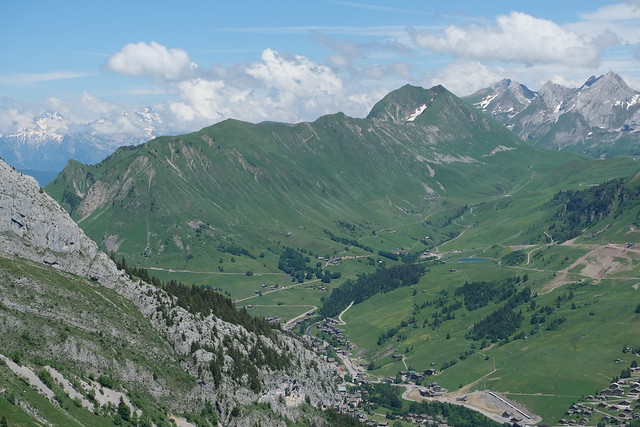
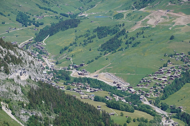
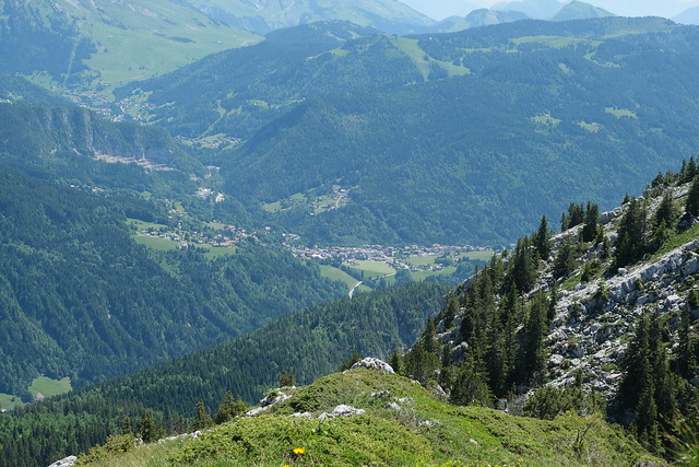
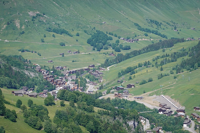
▲ Le Chinaillon.
▲ Combe du Grand Crêt.
▲ Rochers de Salin.
▲ Col de la Buffaz.
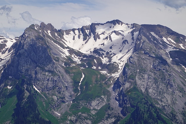
▲ Pointe Percée.
▲ Saint-Jean-de-Sixt.
▲ Aravis.
▲ Entremont.
▲ Roc des Tours, Aiguille Verte and Pic de Jallouvre.
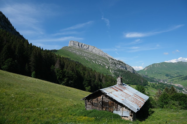
▲ Roc de Charmieux seen from Roc des Tours.
▲ La Roualle.
▲ On the way down.
▲ Second summit.
▲ The steep path again.
▲ Back on the main trail, towards Le Grand-Bornand.
▲ Roc de Charmieux above.
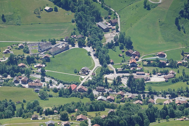
▲ Le Chinaillon.
▲ The steep part of the path to the summit of Roc de Charmieux I took earlier.
▲ Col de la Colombière.
▲ Roc de Charmieux at Les Parchets.
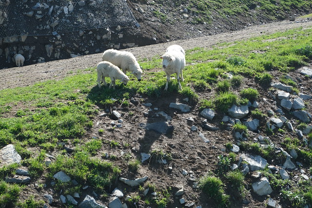
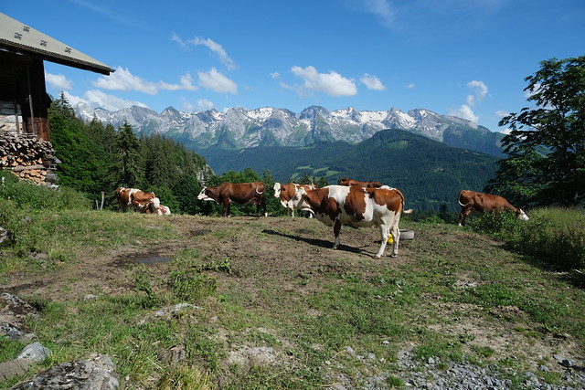
▲ Cattle on the trail down at La Tannaz.
▲ Rochers de la Forclaz.
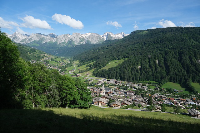
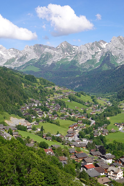
▲ At Plan de la Forclaz. The village of Le Grand-Bornand is directly below.
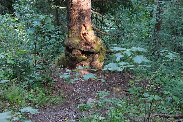
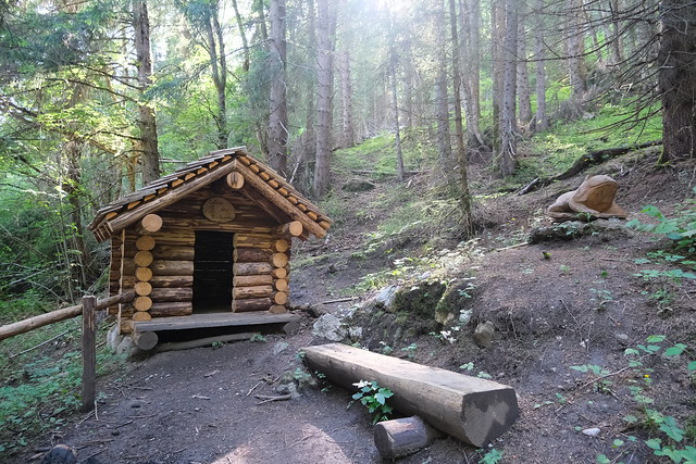
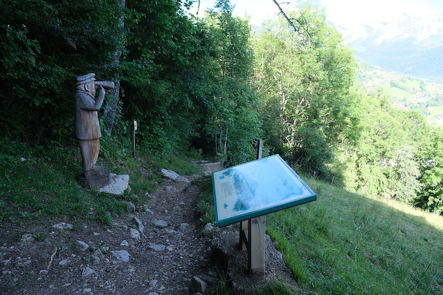
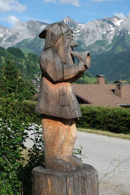
▲ The path in the forest has many wood sculptures by Florent Grange, a chainsaw sculptor.
▲ Balcon des Côtes.
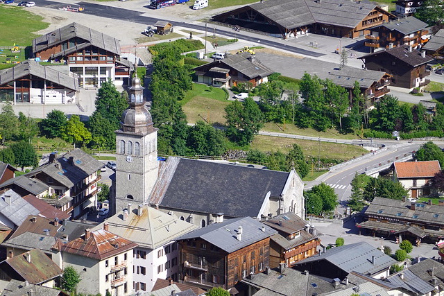
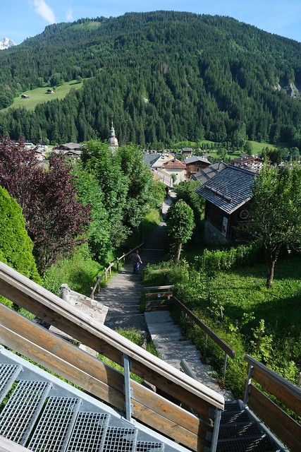
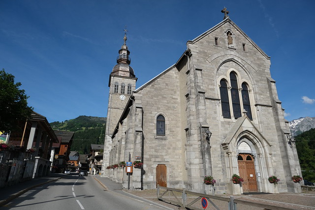
▲ Église Notre-Dame-de-l’Assomption.
▲ At the church.
