Hike to Grotte de Bange & Ruines du Cengle
At the end of the summer of 2021, I went on a hike to Grotte de Bange, a deep cave on the south side of Semnoz.
Here is a map of the path I walked:
- Download path KML
- Download large map
- More photos on Flickr
- Day of the hike: September 18th, 2021
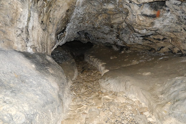
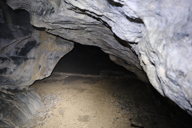
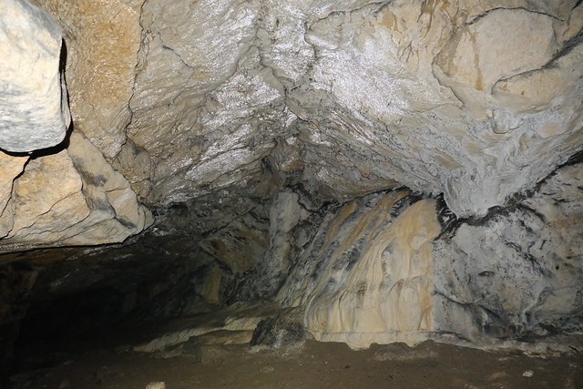
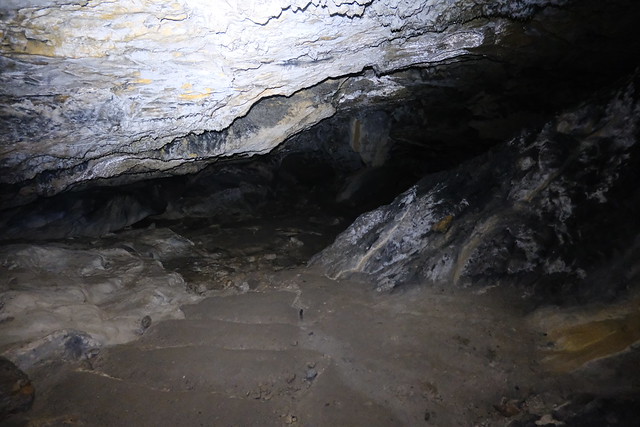
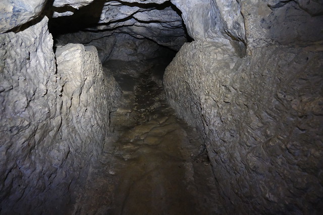
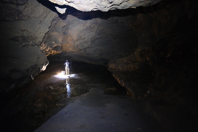
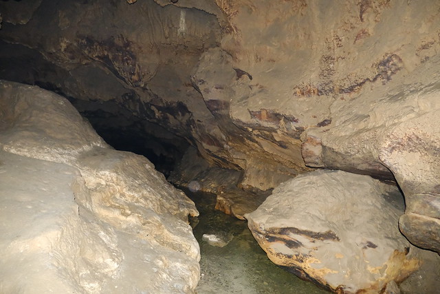
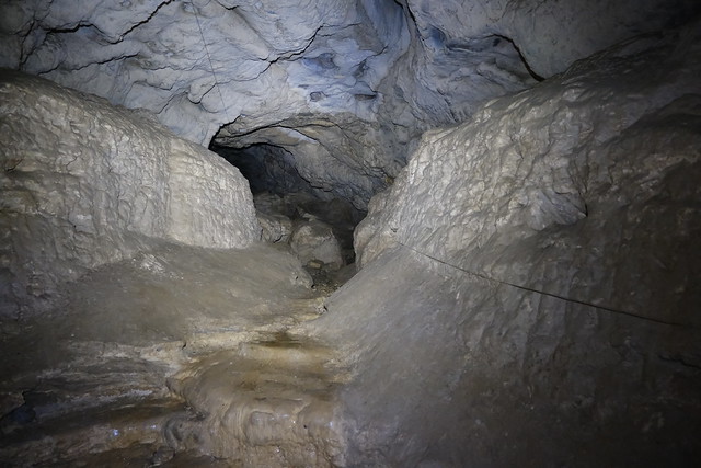
In the morning, I took the bus to Sevrier then boarded a SIBRA summer shuttle (line S5) towards Semnoz but got off at the village of Leschaux. I started walking down towards the Chéran river. I went up at some point to reach a viewpoint above the Chéran valley. After a while, I reached the entrance of Grotte de Bange. I had brought my headlamp with me since the cave is quite deep and there is not light at all once beyond the entrance. However, it is the rare cave in Savoie accessible quite deep without any spelunking equipment (beyond a lamp). Indeed, at the end of the 19th century, even Queen Wilhelmina of the Netherlands visited it (there is a trench dug for her then that makes it easier to pass). At the bottom of the cave, there is a lake: When I visited, its level was a bit low. The cave goes deeper after that but equipment is needed.
After I got out of the cave, I kept walking up in the area until a place where ruins of a guard tower is located: Château du Cengle (or simply Le Cengle). Finally, I went down and passed through the village of Allèves on the south side of Semnoz on the way to Alby-sur-Chéran, in order to take the bus. It was mostly on the side of the road.
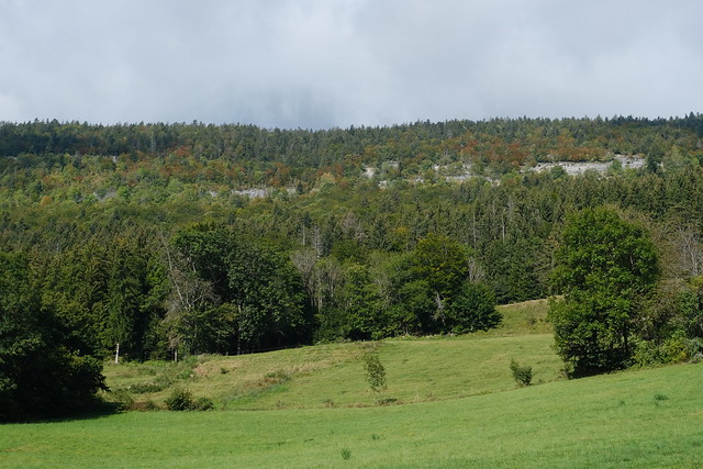
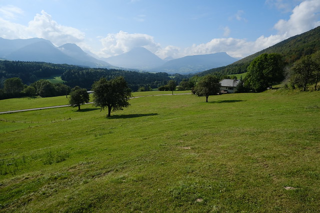
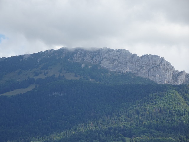
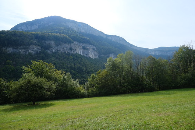
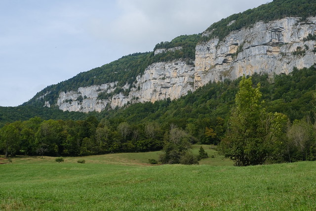
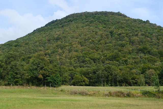
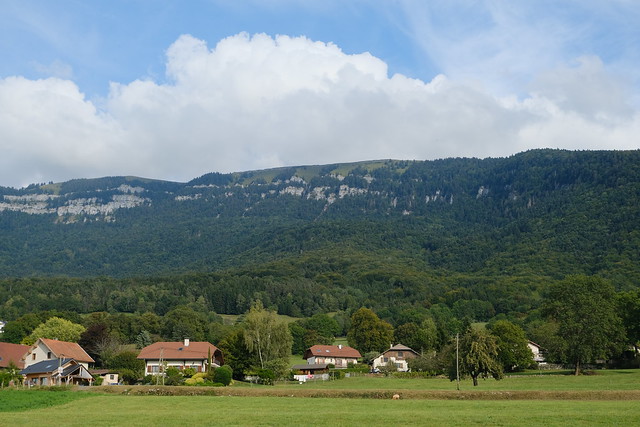
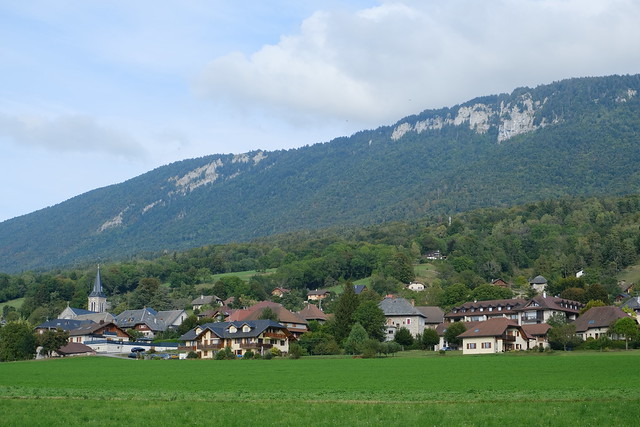
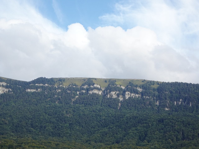
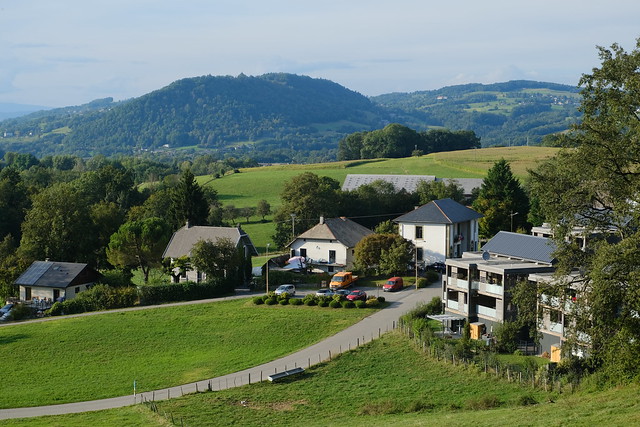
▲ Looking up at Semnoz from the village of Leschaux.
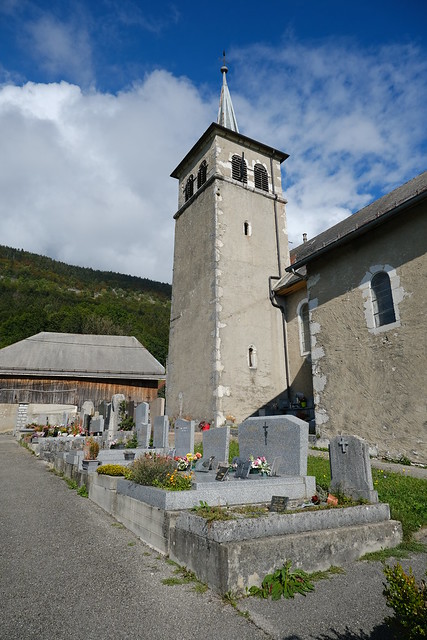
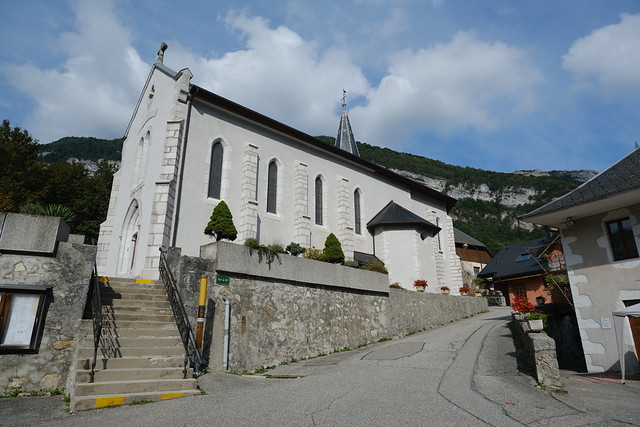
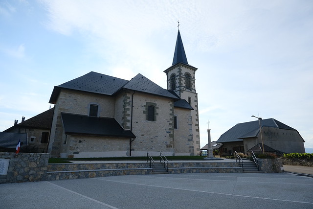
▲ Église Saint-Jean-Baptiste.
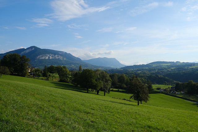
▲ Col de Leschaux and [Roc des Boeufs](http://Roc des Boeufs) on the other side.
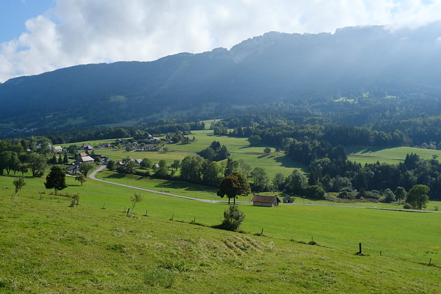
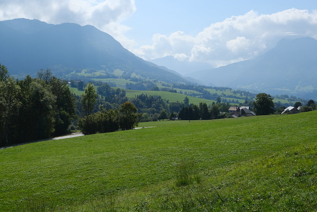
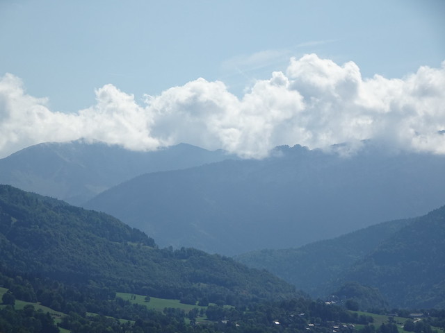
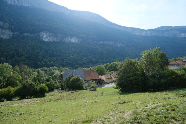
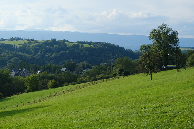
▲ Towards Lescheraines and the Bauges valley.
▲ Sentier des Arbres.
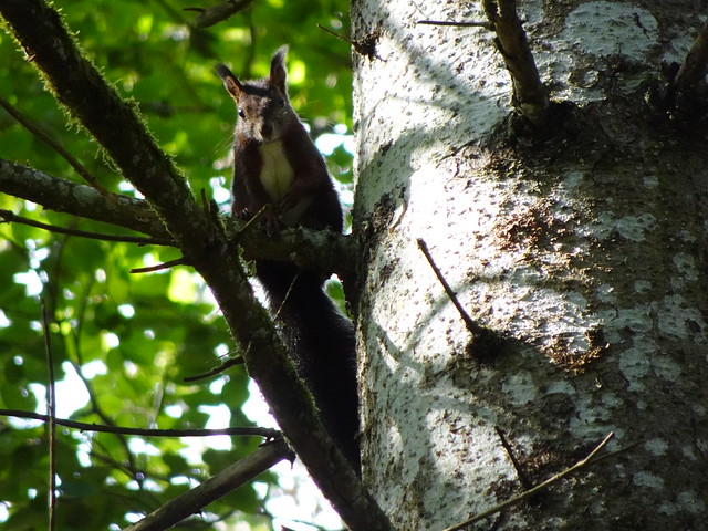
▲ Squirrel.
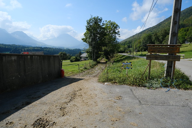
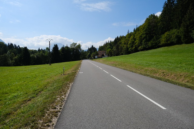
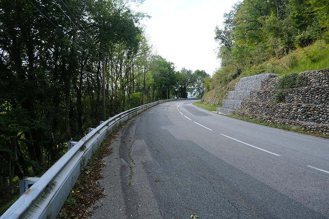
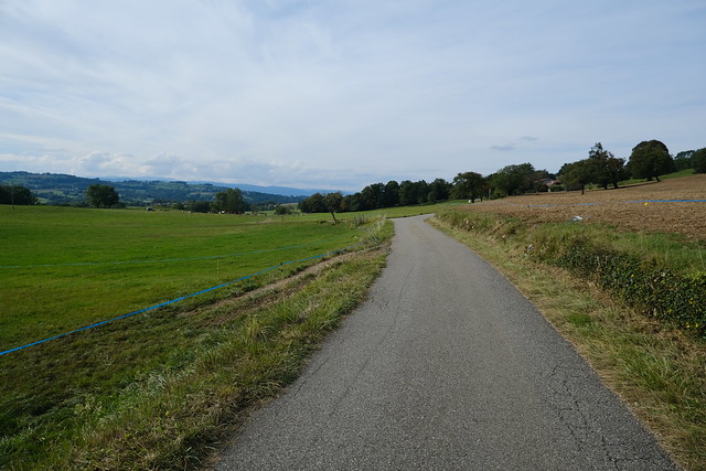
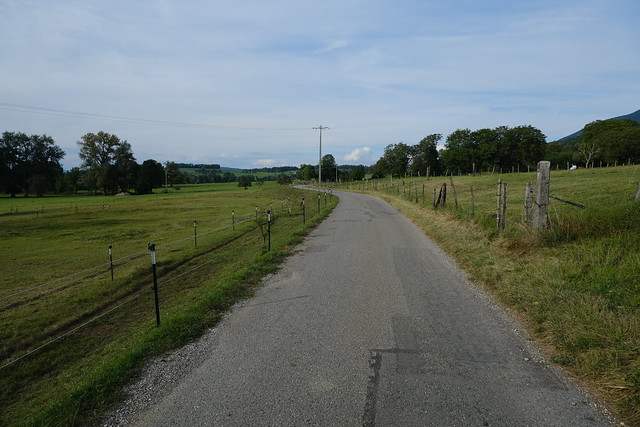
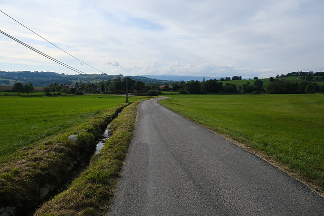
▲ Walking down on the side of the road.
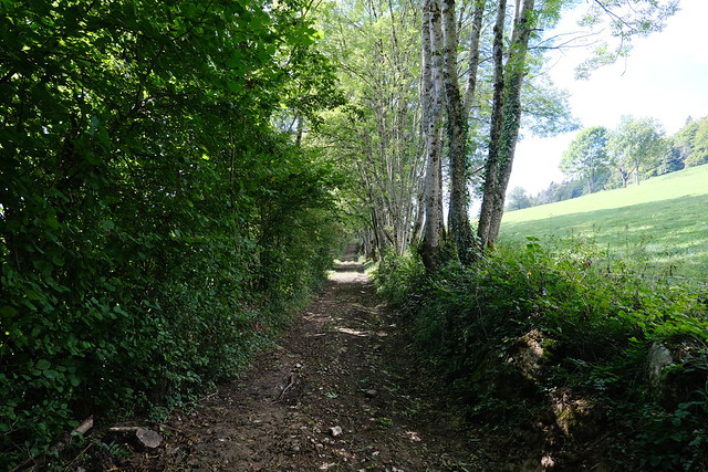
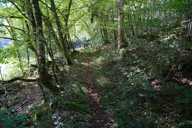
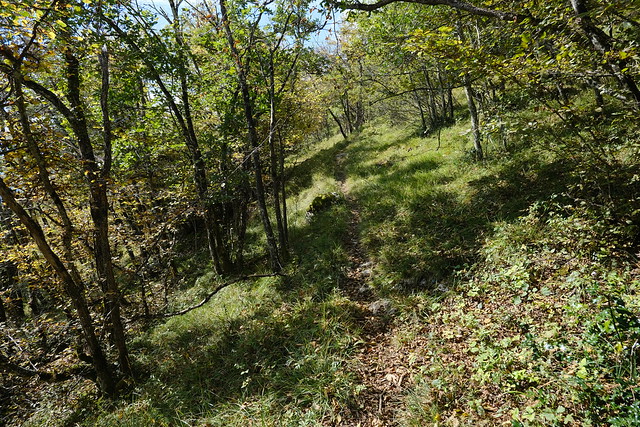
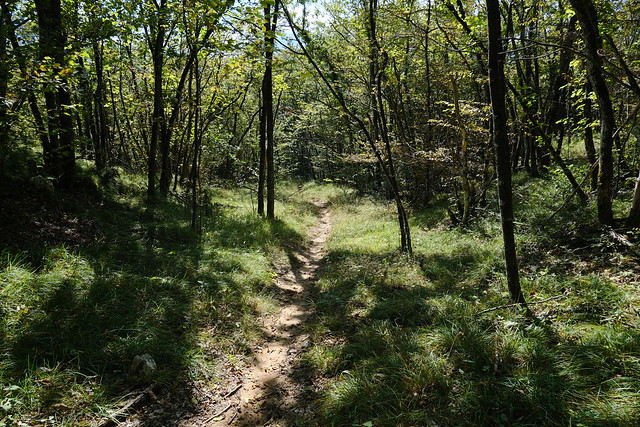
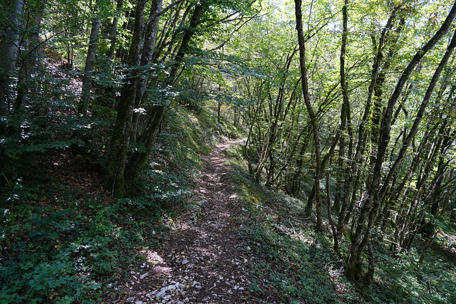
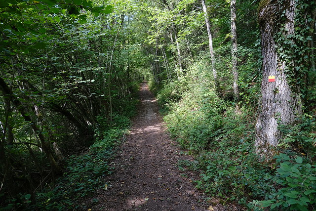
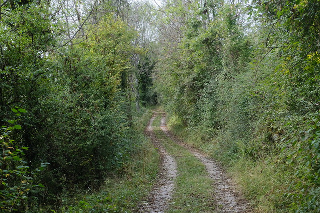
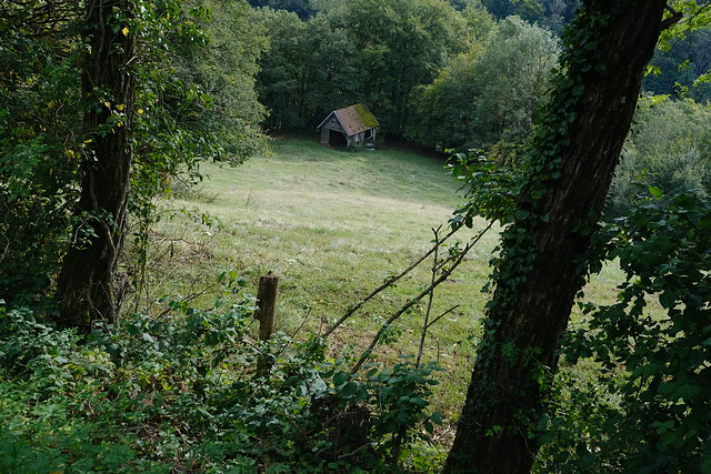
▲ After a while, I found a path through the forest.
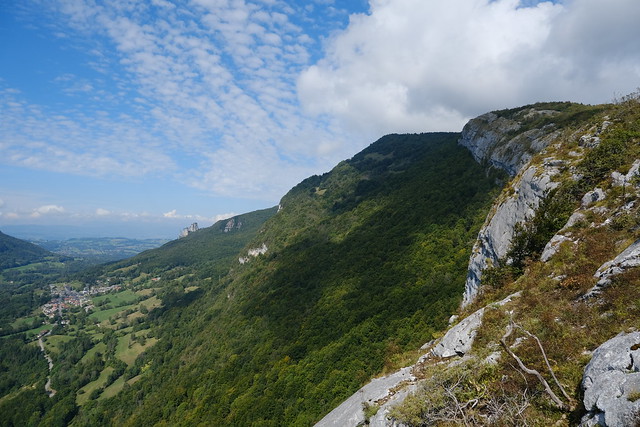
▲ I walked up towards a viewpoint.
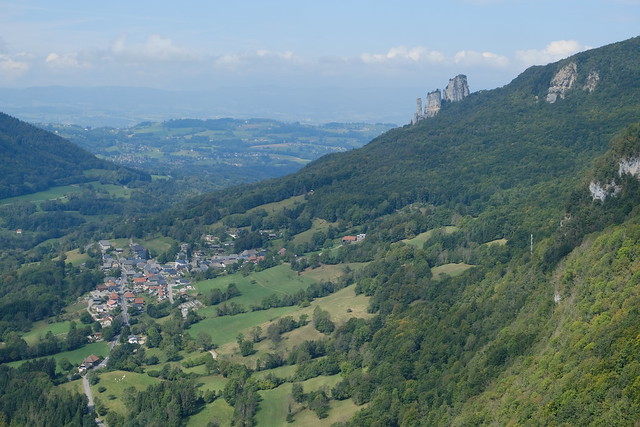
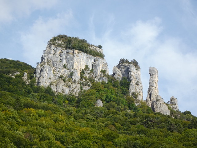
▲ Allèves and Tours Saint-Jacques.
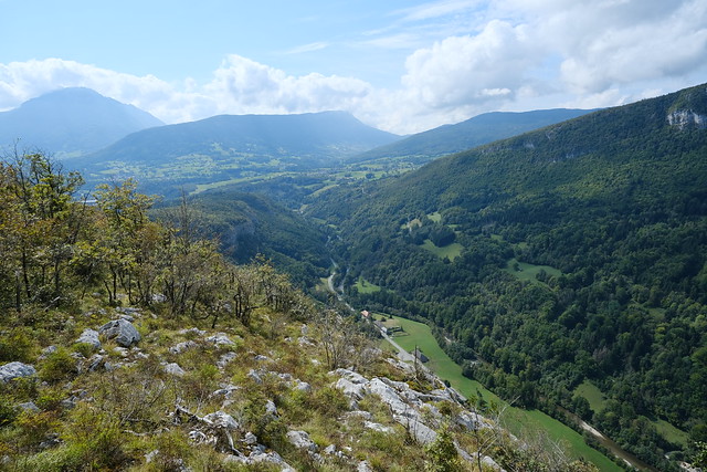
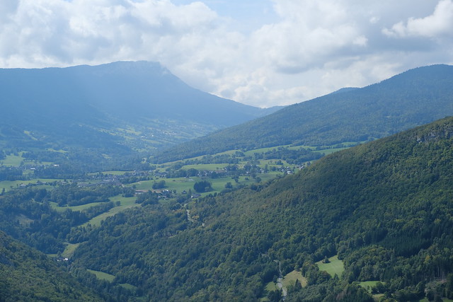
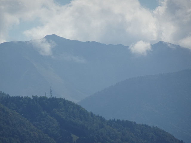
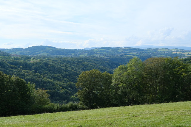
▲ Towards the Bauges valley.
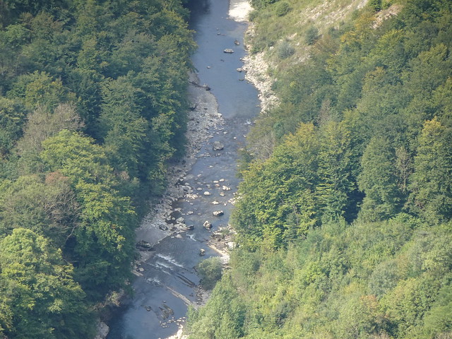
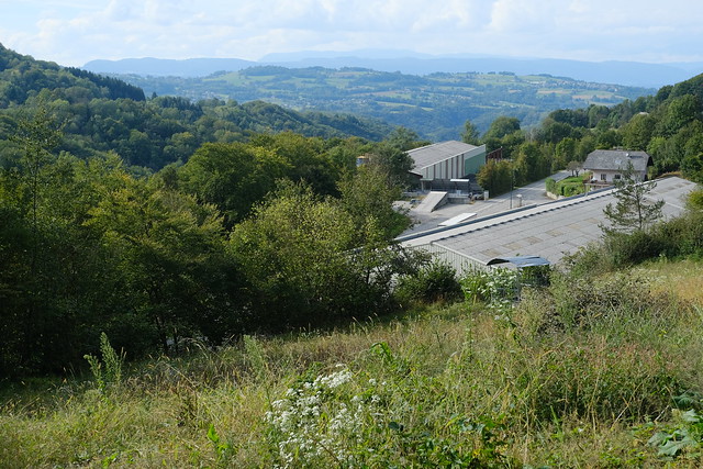
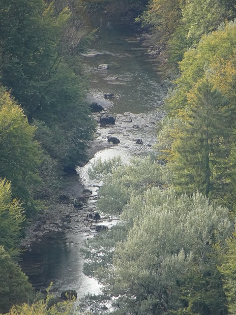
▲ Chéran river below.
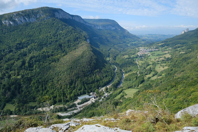
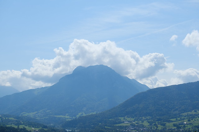
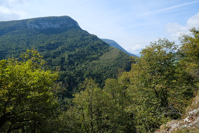
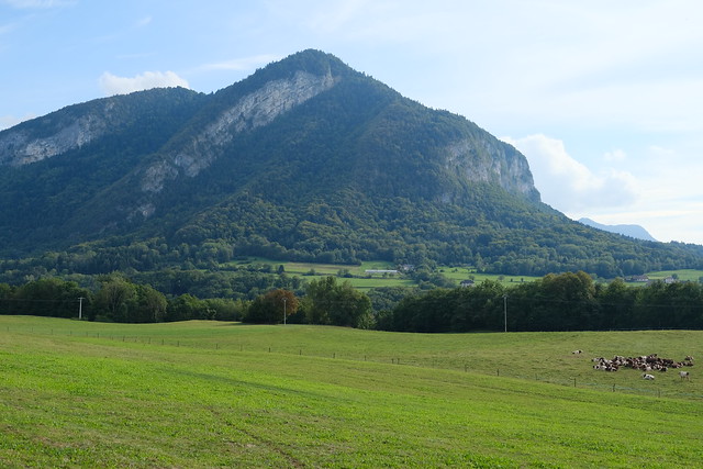
▲ Montagne de Bange and Chéran valley.
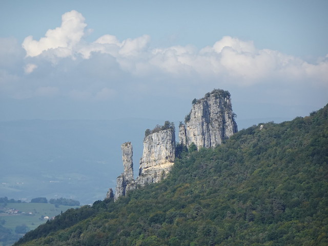
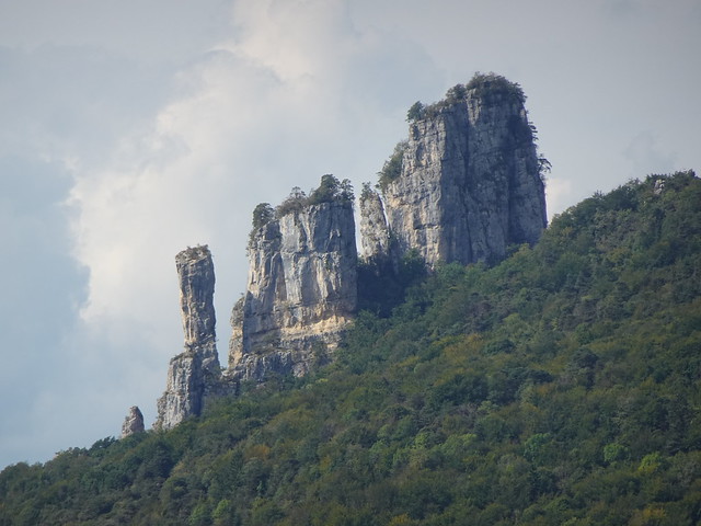
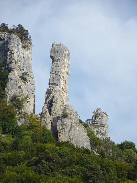
▲ Tours Saint-Jacques.
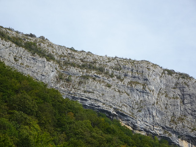
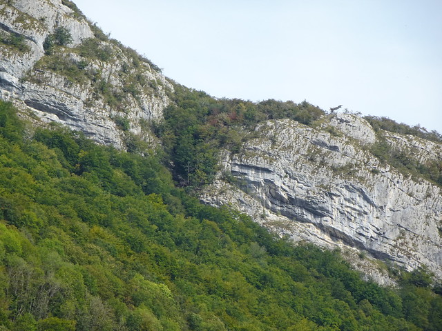
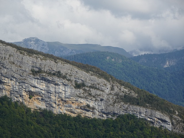
▲ Towards Pointe de Bois Brûlé (at the highest point of this cliff).
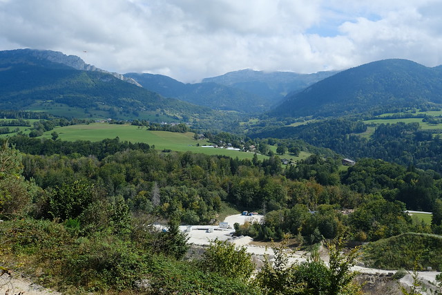
▲ I made a detour to a viewpoint above a quarry (Carrière de Bellecombe). It was the week-end so there was no one working. It is also the best time to visit the cave safely (no blasting).
▲ Colombier d’Aillon.
▲ Roc des Boeufs.
▲ On the way to Grotte de Bange.
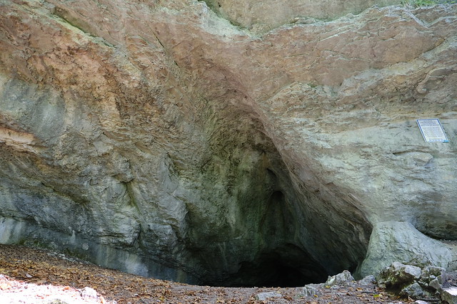
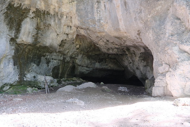
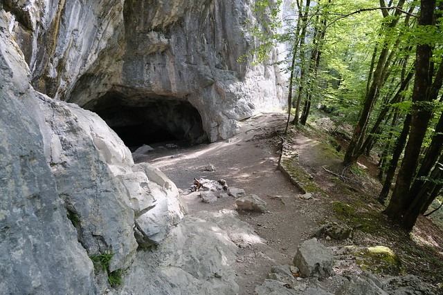
▲ South entrance of Grotte de Bange (the main one).
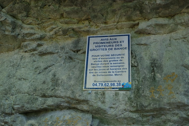
▲ A warning sign regarding the quarry nearby and blasting.
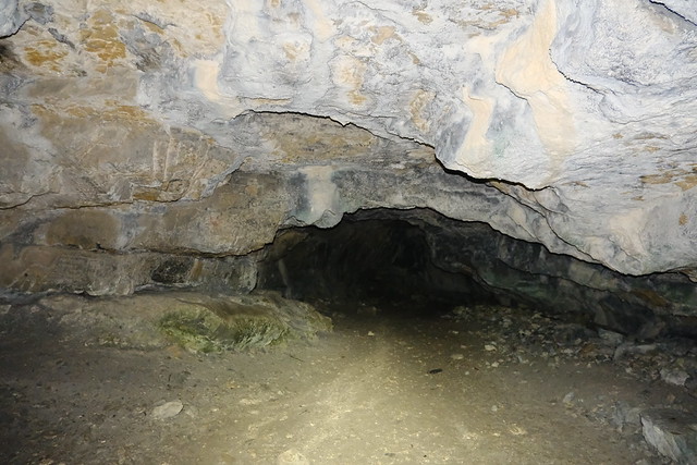
▲ To the deep.
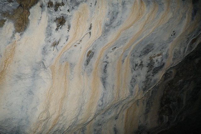
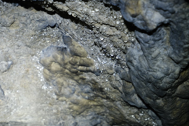
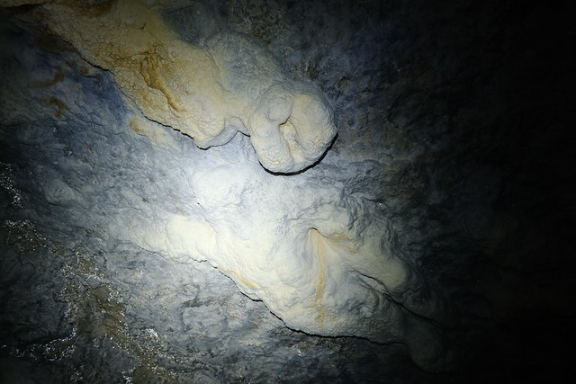
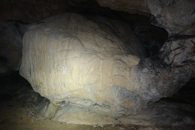
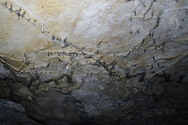
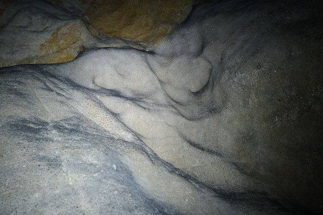
▲ I made some photos with flash, and other with just the light of my headlamp.
▲ The Wilhelmina trench.
▲ Large room at the bottom. There is a lake there: Its level was quite low then so some sort of island had formed in the middle. However. I didn’t stay long since the photographer in the photo above was telling me to move on since my light prevented him from taking pictures …
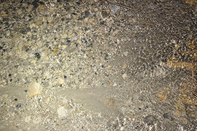
▲ Low level of the lake.
▲ On the way back up.
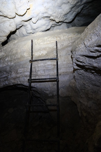
▲ There is a ladder at some point.
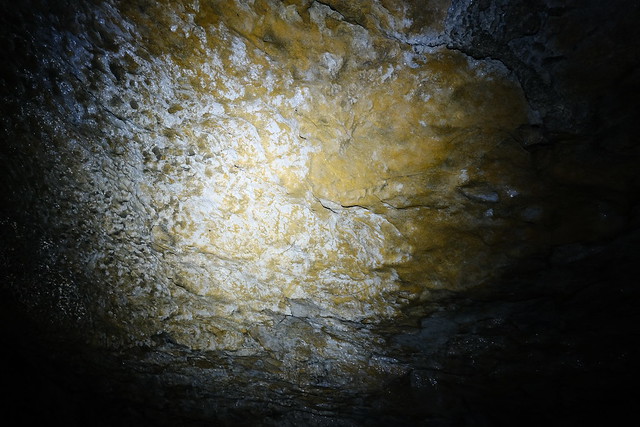
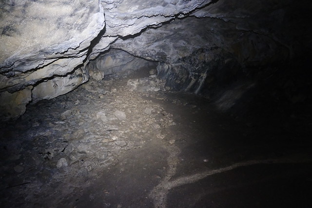
▲ Without light, it was pretty dark…
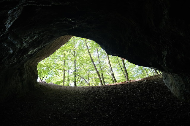
▲ Exit.
▲ On the way up to Ruines du Cengle.
▲ The north entrance. There is a passage through it that joins with the path from the south entrance but it is quite narrow from what I read.
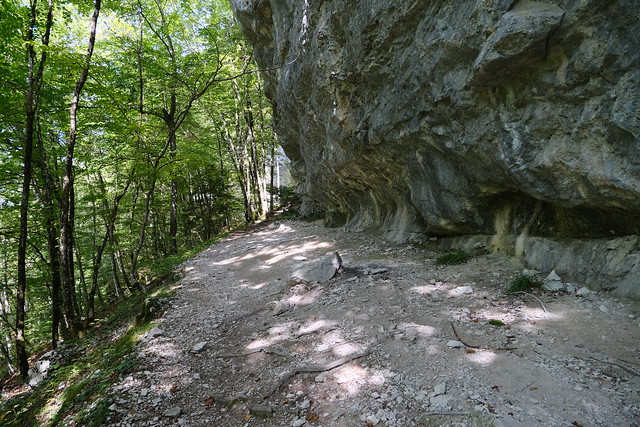
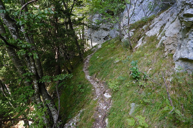
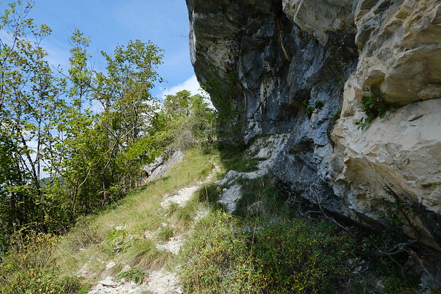
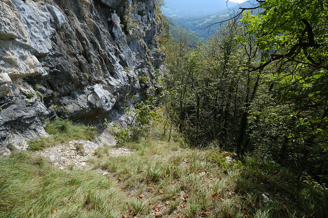
▲ The trail was narrow and there is a cliff on the left side.
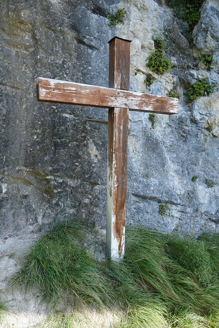
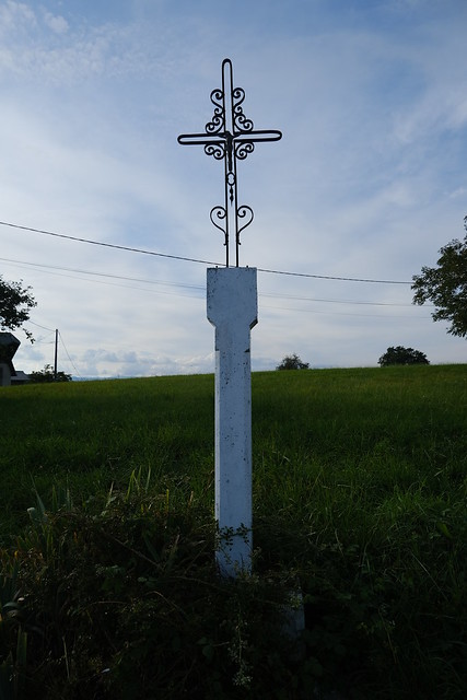
▲ Croix du Cengle.
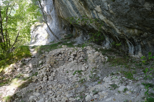
▲ Ruins of Château du Cengle.
▲ At the highest point of the path.
▲ Tours Saint-Jacques.
▲ On the way down.
▲ Passing by Grotte de Bange.
▲ To Allèves.
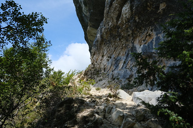
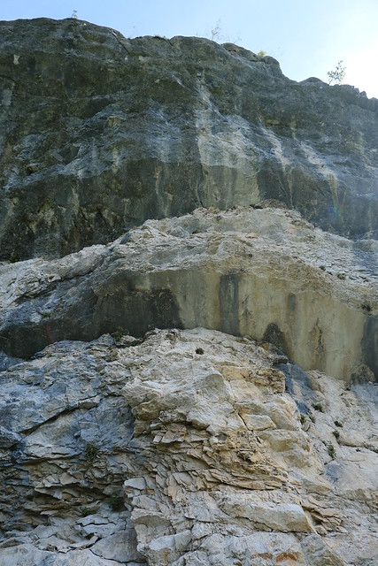
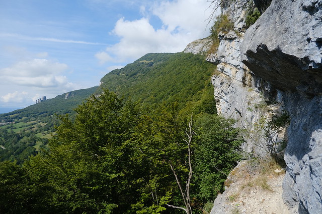
▲ The Cengle and Grotte de Bange are located on a ledge below that cliff.
▲ Montagne de Bange on the other side of the Chéran river.
▲ Trou de la Poteresse. I passed through there when I went to Pointe de Bois Brûlé in 2020.
▲ Église Saint-Blaise in Allèves.
▲ Tours Saint-Jacques above.
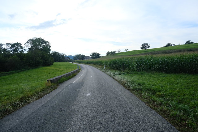
▲ Walking on the side of the road. There was a bit of traffic on that part (not very long fortunately).
▲ Chéran.
▲ Mont Durant.
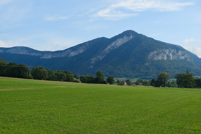
▲ Montagne de Bange.
▲ Mont du Chat near Lac du Bourget.
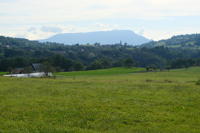
▲ Semnoz.
▲ Village of Gruffy.
▲ Plateau du Semnoz.
▲ Église Saint-Donat in Mûres.
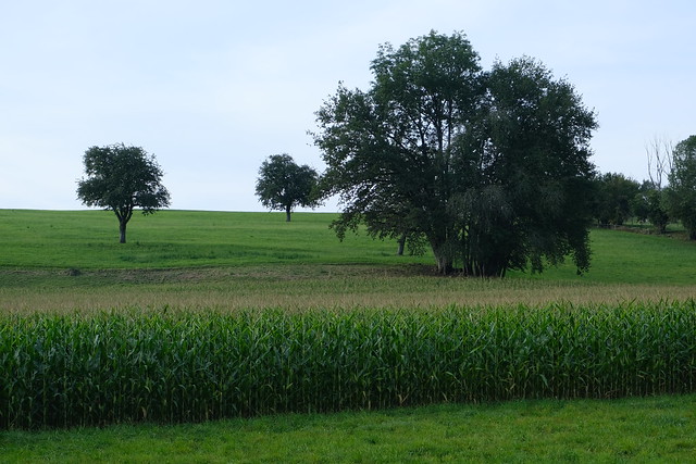
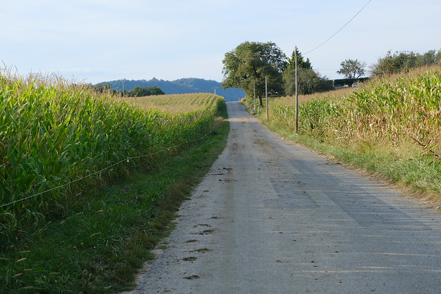
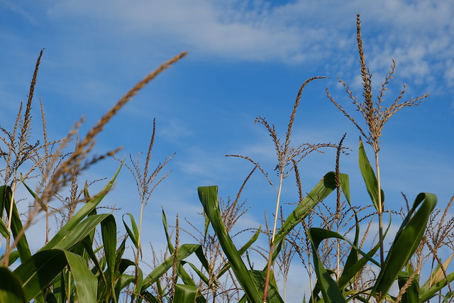
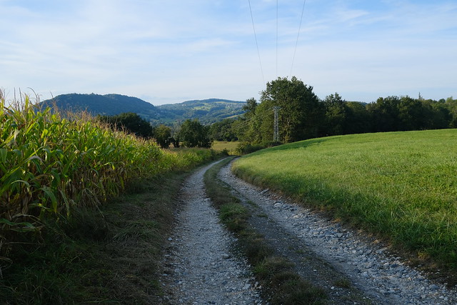
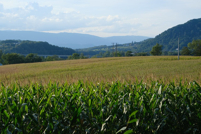
▲ Corn field.
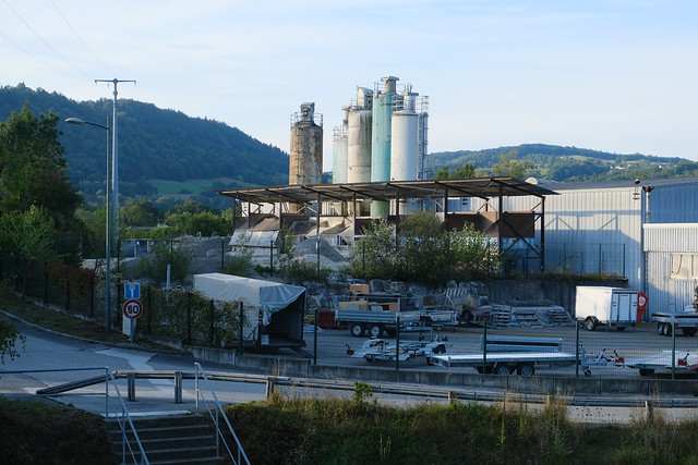
▲ Industrial area in Alby-sur-Chéran.
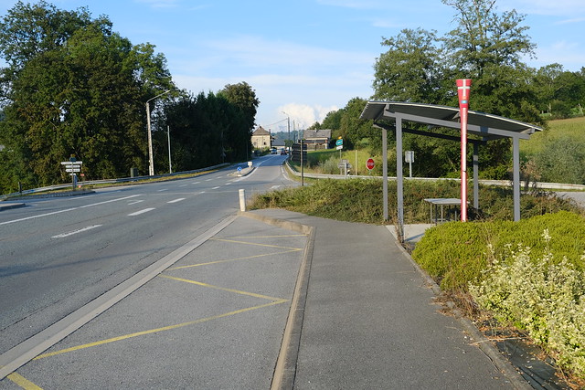
▲ Crêt Vial bus stop.
