Hike to Crêts du Semnoz: Crêt de l'Aigle, Crêt de la Grande Danne, Crêt de Tertère & Crêt de Châtillon
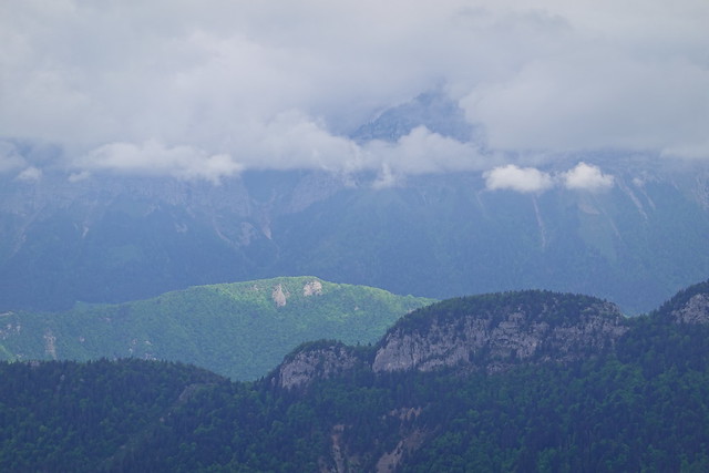
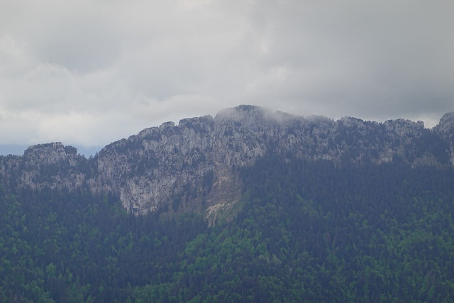
At the end of the spring of 2021, I went on a hike on Semnoz. I walked through 4 bumps at the top of the mountain: Crêt de l’Aigle, Crêt de la Grande Danne, Crêt de Tertère & Crêt de Châtillon.
Here is a map of the path I walked:
- Download path KML
- Download large map
- More photos on Flickr
- Day of the hike: June 6th, 2021
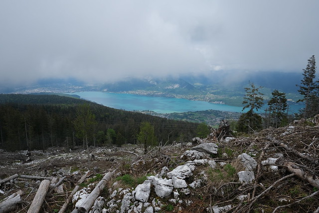
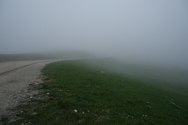
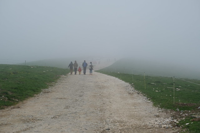
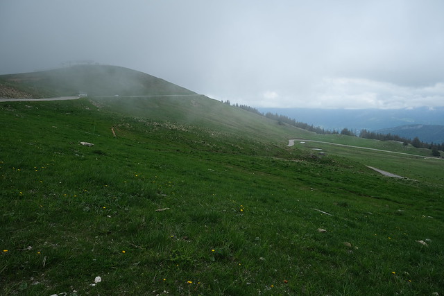
In the morning, I took the SIBRA summer shuttle (which runs on the week-ends in June and September as well) to the top of Semnoz. The fog there was very thick. I started on my loop: First, I went down to “Versant Bauges”, part of the Semnoz ski resort. I then followed a chairlift (Téléski de l’Aigle) on the way up in order to get back to Plateau du Semnnoz and reach Crêt de l’Aigle. I then walked on the Plateau and went down to “Versant Annecy”, the main part of the Semnoz ski resort. I found some nordic skiing tracks and followed them until I was below Crêt de la Grande Danne. I walked off-trail to the summit. There was no view there. After that, I walked to Crêt de Tertère: It seems like the highest point of Semnoz when looking at it from Annecy. Again, there was no trail to the actual summit but here was a great view on Lake Annecy at the top. I went around Crêt de Tertère off-trail then found the GR Tour du Lac d’Annecy and followed it to the summit of Crêt de Châtillon. Finally, I walked down on the other side to get back to my starting point.
While I was writing this, I felt an odd jolt, like an earthquake. And indeed, there was an earthquake, magnitude 4.5, near Faverges!
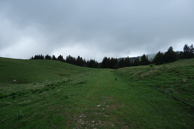
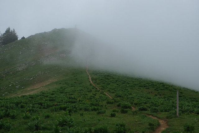
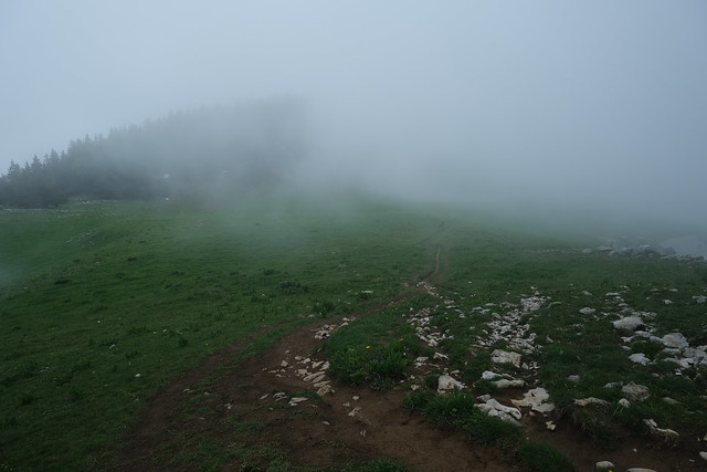
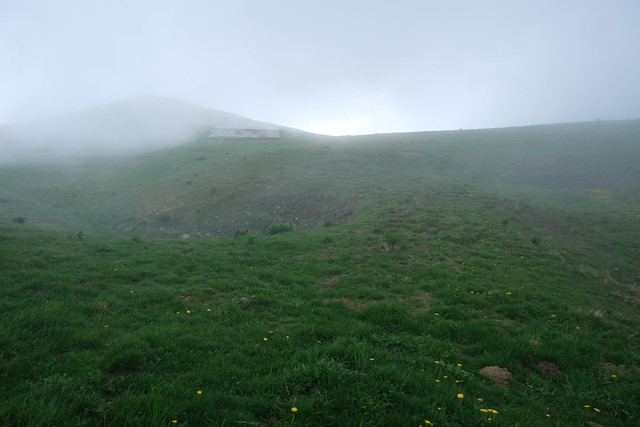
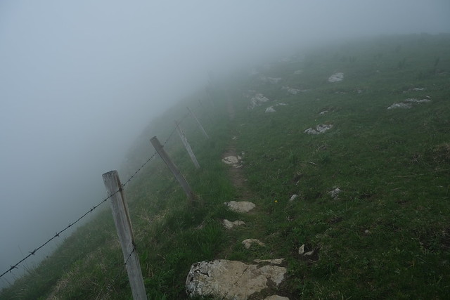
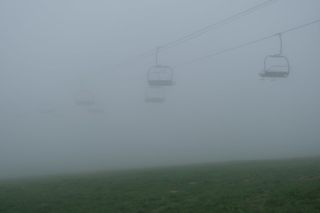
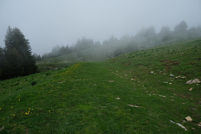
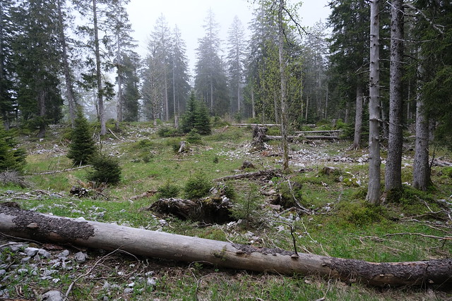
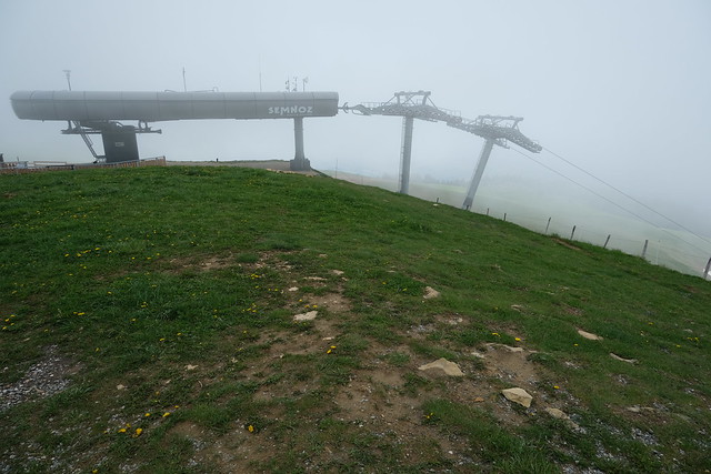
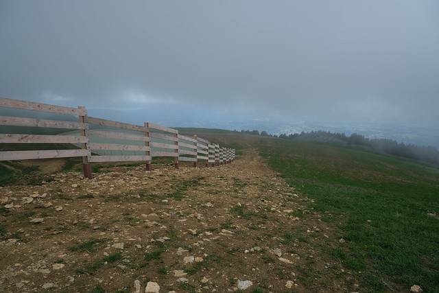
▲ Fog near the summit of Semnoz.
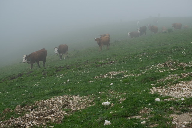
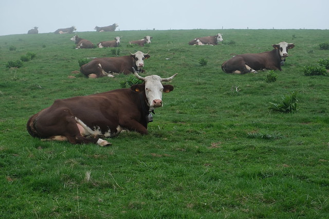
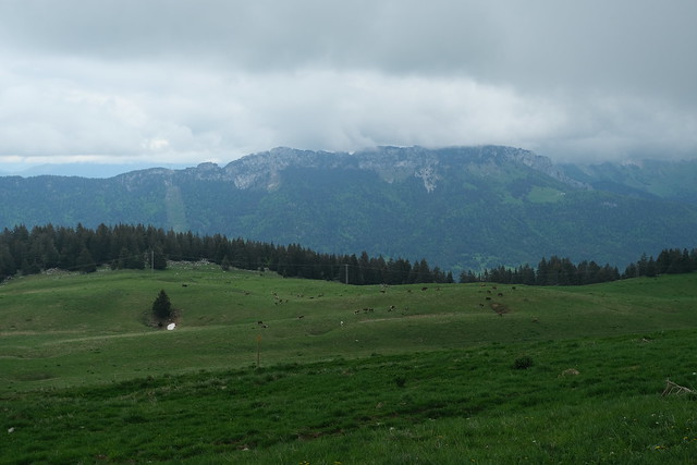
▲ Cattle in the mist.
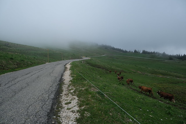
▲ The trail to Versant Bauges passed through their pasture so I waited for a while for them to move away.
▲ This is where I will go next.
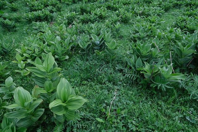
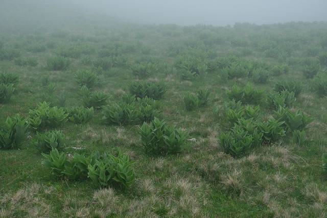
▲ Veratrum Album. It is a poisonous plant.
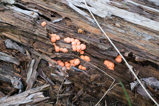
▲ Pink mushrooms.
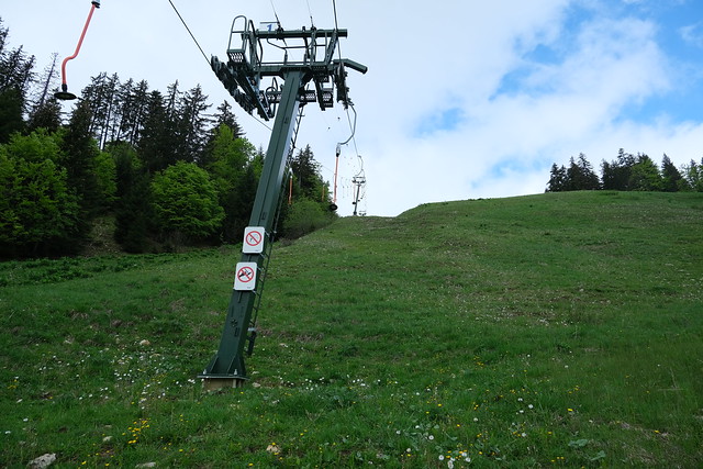
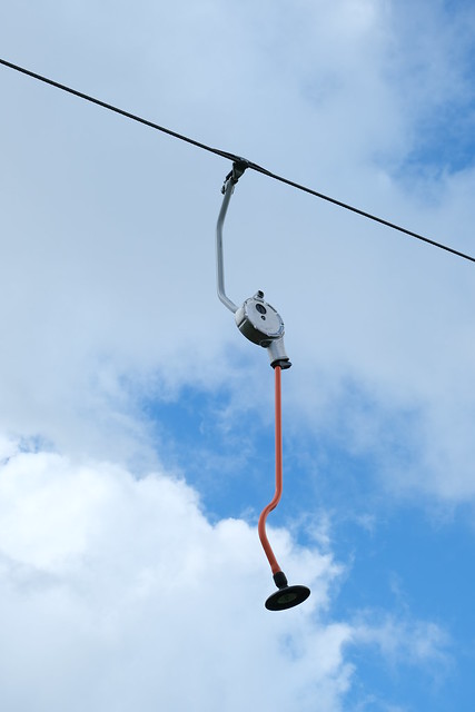
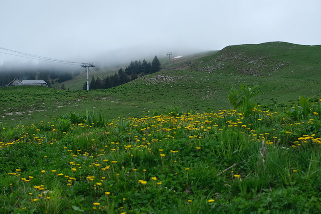
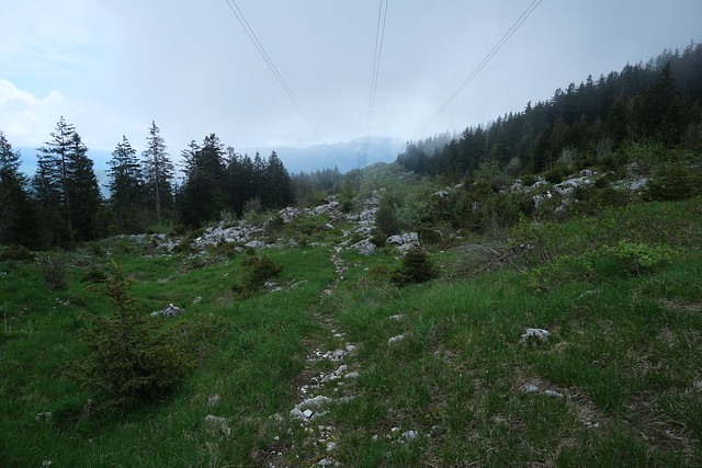
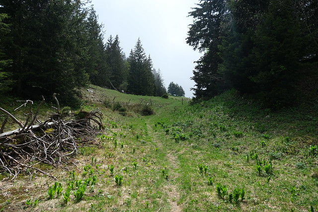
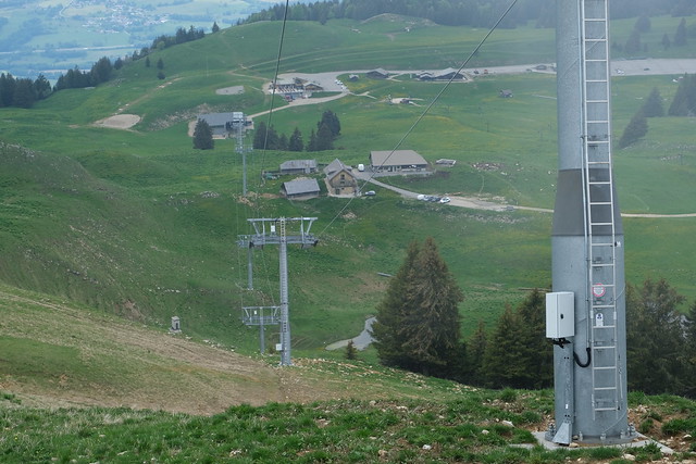
▲ Once at the Versant Bauges, I walked up along Téléski de l’Aigle. There was no trail but it was not very steep.
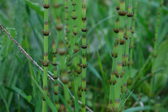
▲ Equisetum.
▲ There is a cave called Grotte de l’Ours in that area.
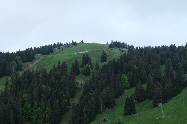
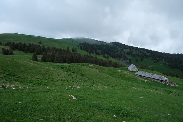
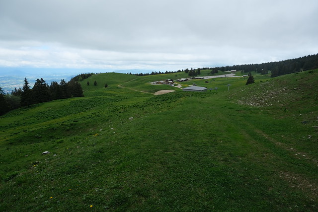
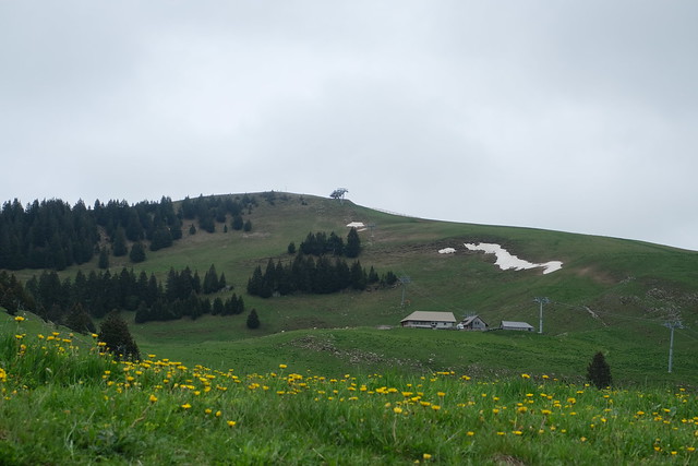
▲ Chalets des Vernettes. Crêt de Châtillon is in the background.
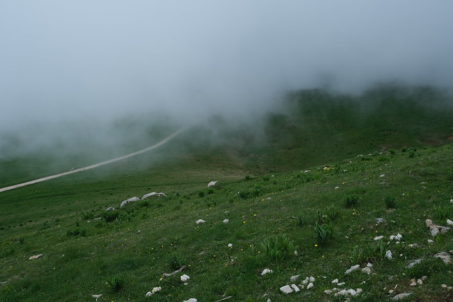
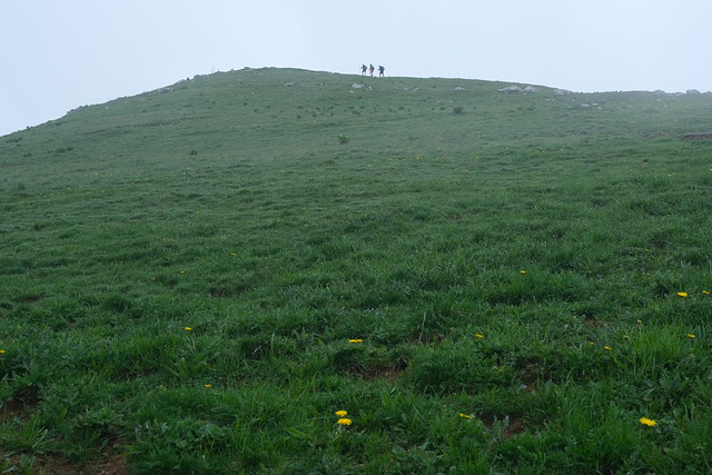
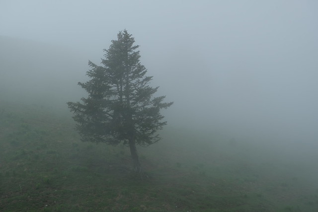
▲ Below Crêt de l’Aigle in the fog.
▲ View towards the Plateau from the summit.
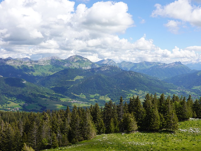
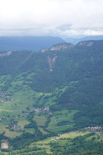
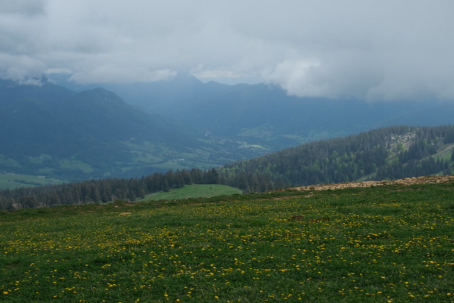
▲ When there is no fog, there is a great view towards the Bauges.
▲ On the way down.
▲ Crêt de l’Aigle.
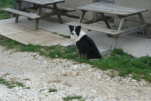
▲ Dog at Chalets Dagand.
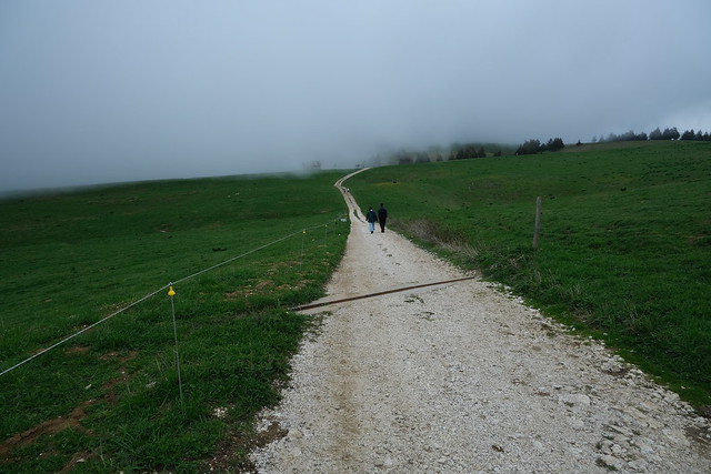
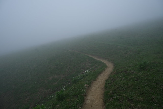
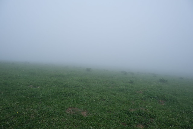
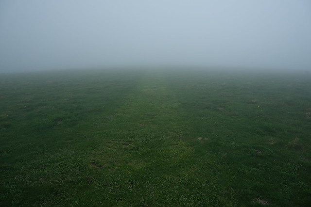
▲ Limited visibility.
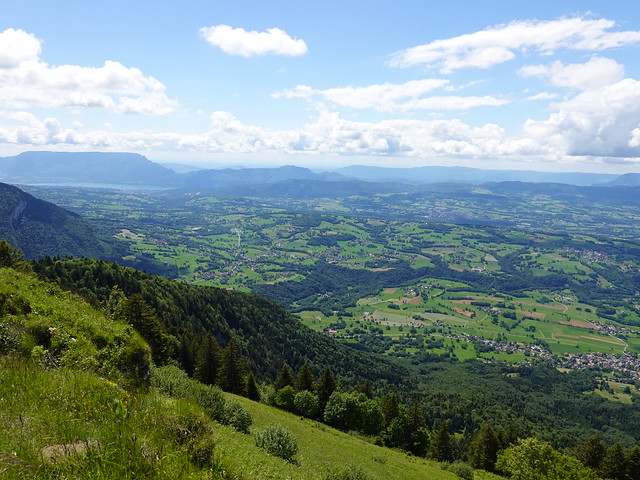
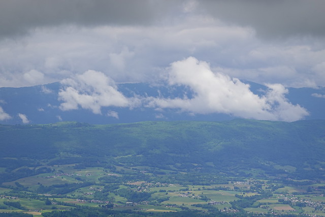
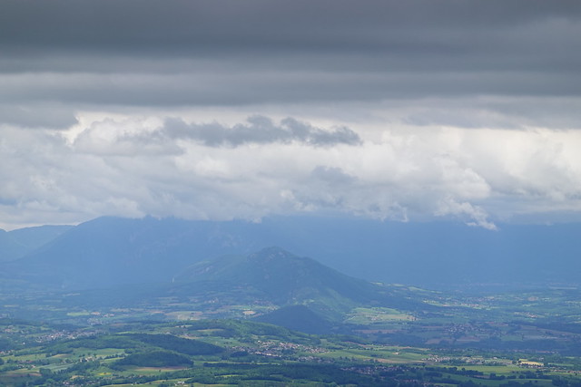
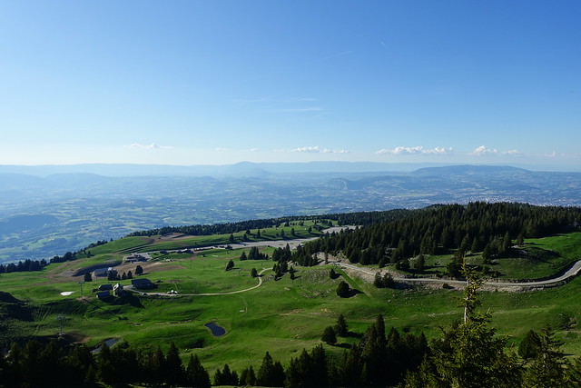
▲ This is the usual view, on Pays de l’Albanais. Lac du Bourget is in the background.
▲ I took a trail through the pasture towards the main alpine ski resort.
▲ Versant Annecy of the resort.
▲ Crêt de Châtillon above.
▲ Le Vuache.
▲ Crêt de Châtillon.
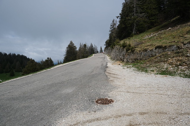
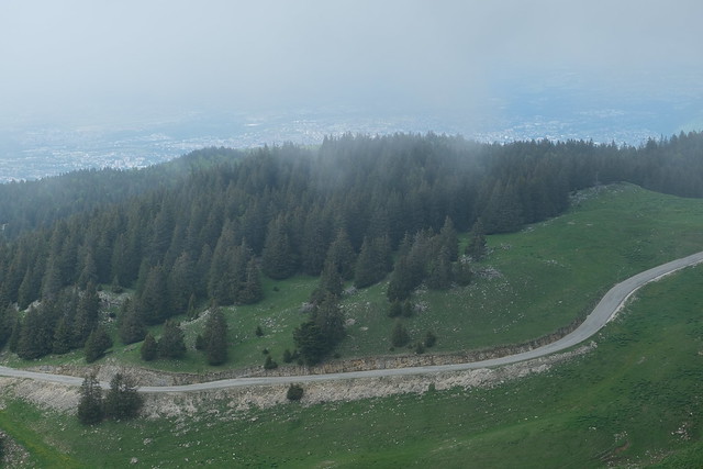
▲ Crossing the road.
▲ Following along what is a nordic skiing track during winter.
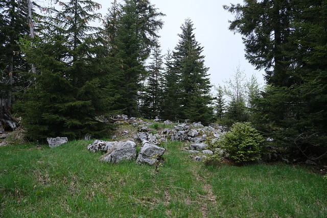
▲ Off-trail towards the summit of Crêt de la Grande Danne.
▲ Summit.
▲ I made a detour to Sentier du Planay. I wanted to walk the path until the viewpoint, but in the end, because I thought there would be a lot of fog, I stopped there and went back on the way to Crêt de Tertère.
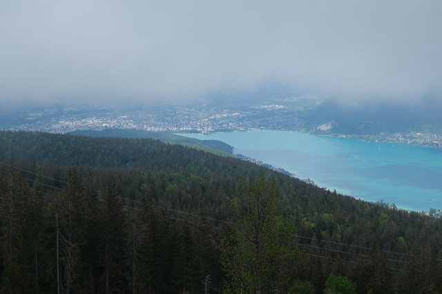
▲ This is the great view at the end of the path.
▲ Instead I took the GR Tour du Lac d’Annecy on the way up.
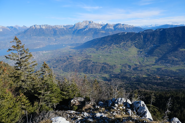
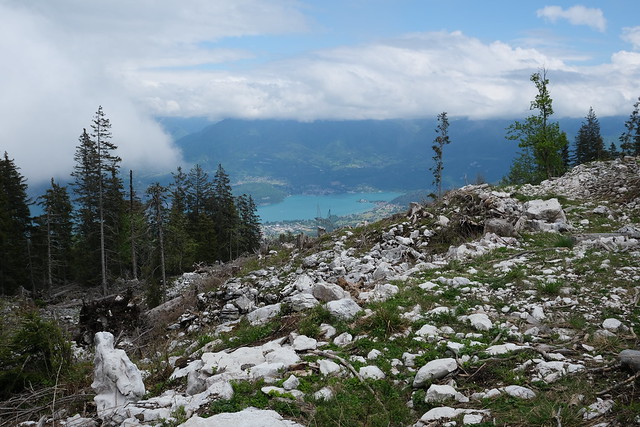
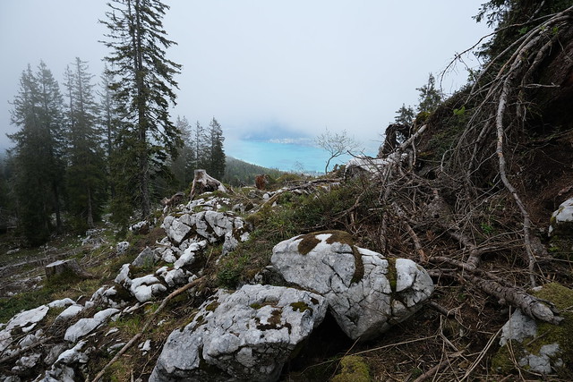
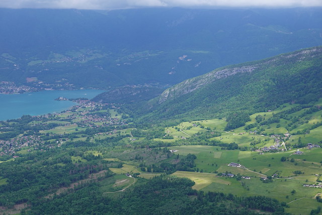
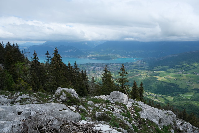
▲ View of Lake Annecy below Crêt de Tertère.
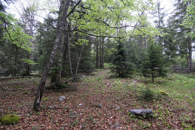
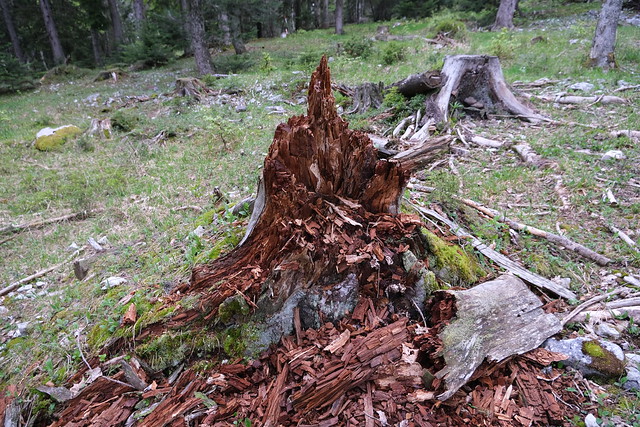
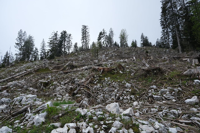
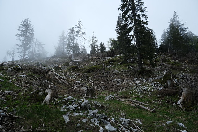
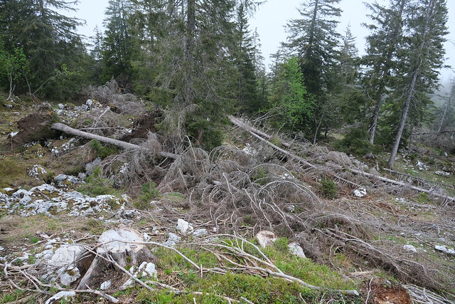
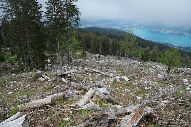
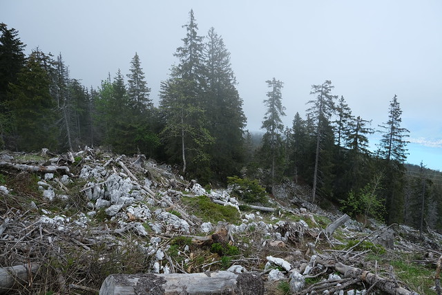
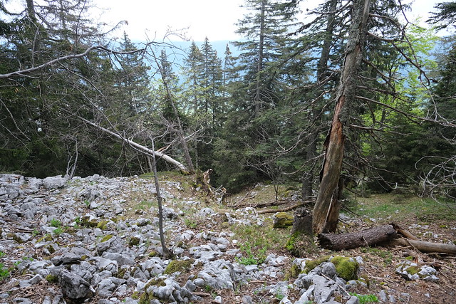
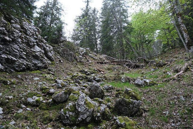
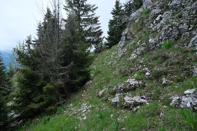
▲ On the way up, off-trail. There were a lof of felled trees, rocks and patches of stinging nettles.
▲ Summit of Crêt de Tertère.
▲ View from the summit.
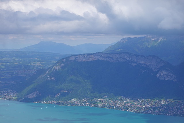
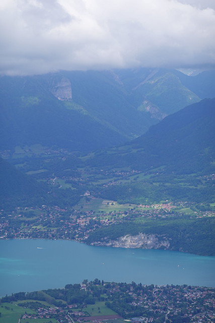
▲ View towards Annecy.
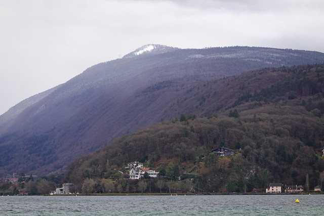
▲ The bump with the snow is Crêt de Tertère, as seem from Annecy.
▲ Towards Château de Menthon-Saint-Bernard.
▲ Col des Contrebandiers.
▲ On the way down.
▲ I took a path off-trail around Crêt de Tertère.
▲ Mont Veyrier.
▲ Towards Duingt.
▲ Saint-Eustache.
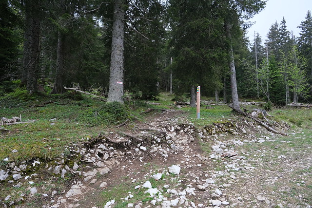
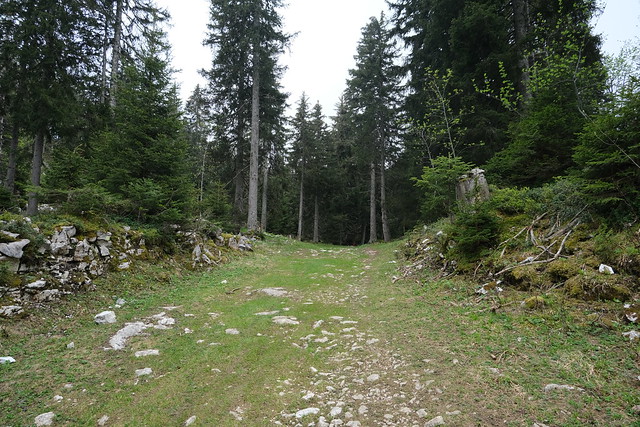
▲ Finding an actual trail.
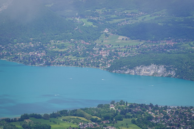
▲ Viewpoint on Lake Annecy.
▲ Col de Bluffy.
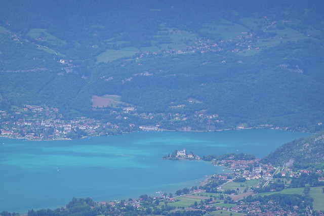
▲ Château de Duingt.
▲ Col de la Cochette.
▲ Crossing the road again.
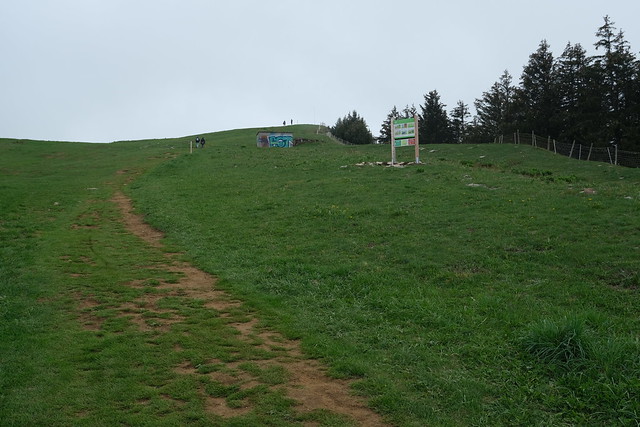
▲ Path to Crêt de Châtillon.
▲ Looking back at Les Rochers Blancs.
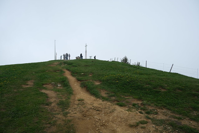
▲ Summit of Crêt de Châtillon (also the highest point of Semnoz).
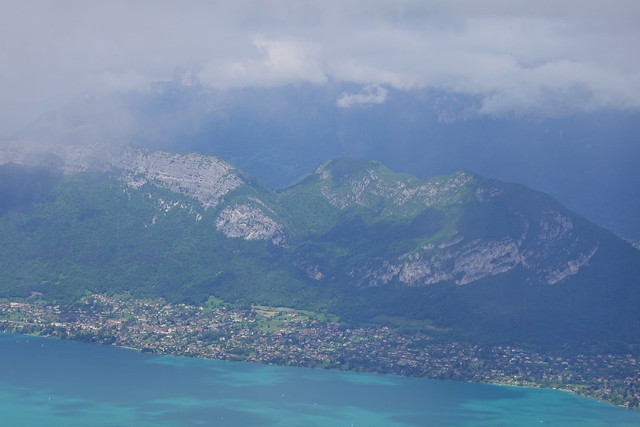
▲ Bauges.
▲ This is the usual view.
▲ To the north.
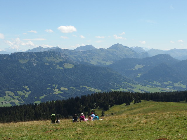
▲ In better weather.
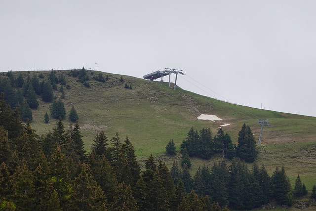
▲ Télémix du Belvédère.
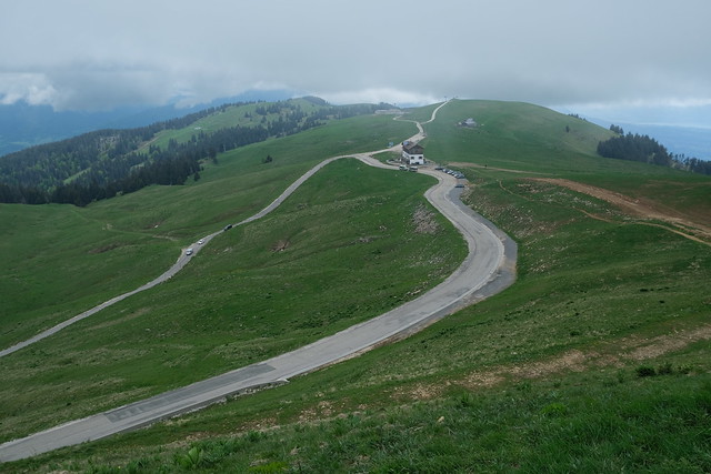
▲ Plateau.
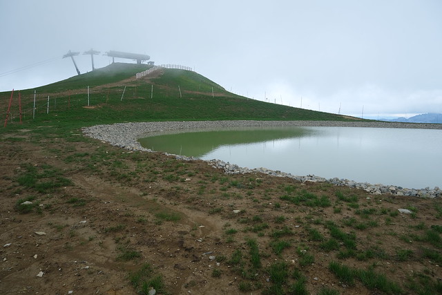
▲ New artificial lake for snow.
▲ Lac du Bourget in the distance.
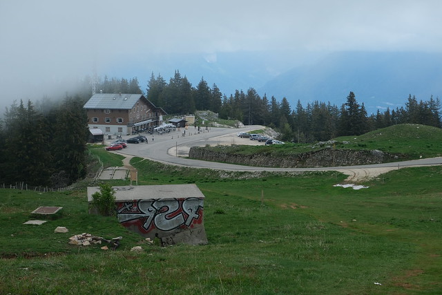
▲ Back at my starting point, looking at Roc des Boeufs.
▲ Pointe de Chenevier in the sun.
▲ Crêt de Châtillon.
