Hike to Montagne des Princes: From Frangy to Seyssel
In the fall of 2020, I went on a hike to Montagne des Princes, starting from Frangy and arriving in Seyssel.
Here is a map of the path I walked:
- Download path KML
- Download photo KML
- Download large map
- More photos on Flickr
- Day of the hike: October 8th, 2020
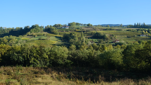
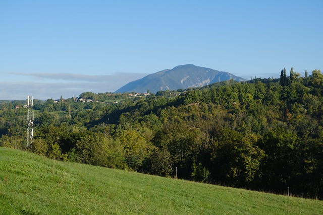
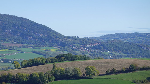
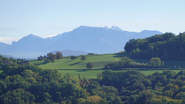
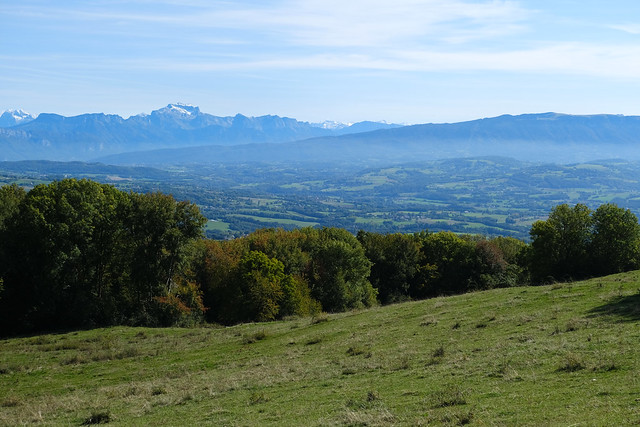
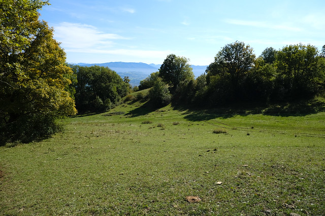
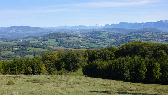
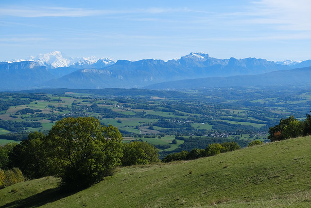
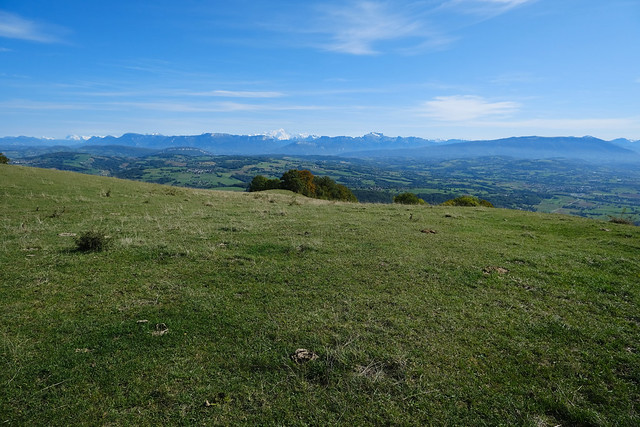
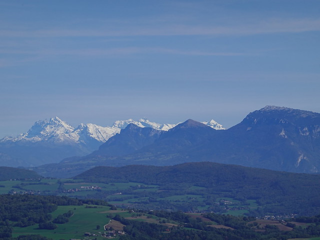
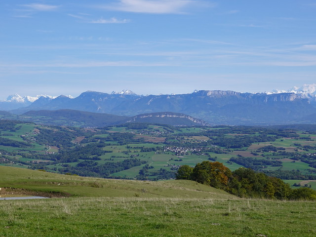
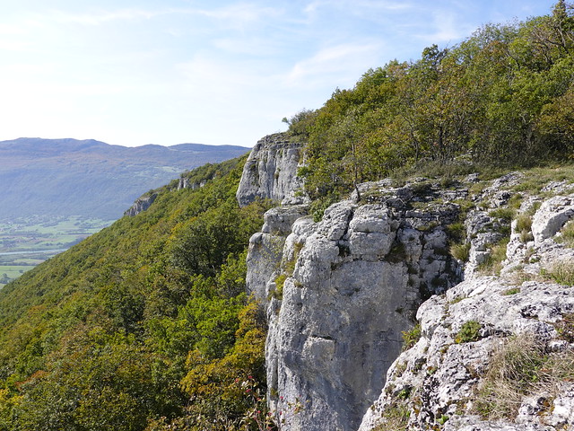
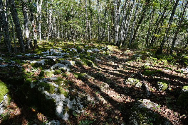
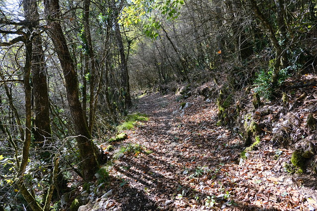
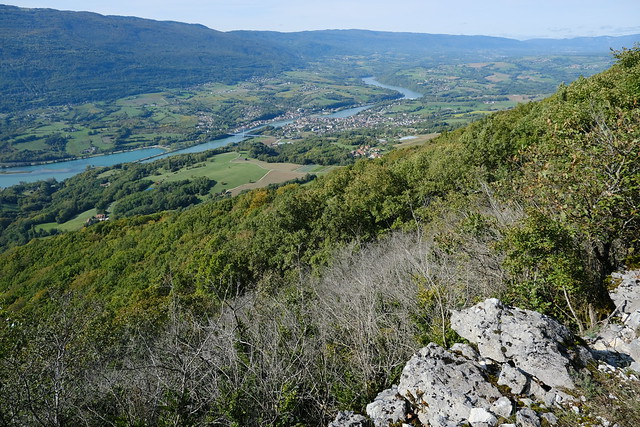
In the morning, I took a Car Région bus (line Y22) to Frangy. I then followed the Camino de Santiago towards Desingy. I left if a little before reaching that village and headed instead towards Montagne des Princes. I walked the dirt road to the summit. There was a good view from there: La Tournette, Salève, Mont Blanc and Dents du Midi could be seen. Instead of going down directly to Seyssel, I then walked a trail passing through the cliff above Gorges du Val de Fier. There was a great view. Finally, I walked down to Seyssel and the Rhône. In Seyssel, from the Ain side, I boarded a SNCF bus to Bellegarde-sur-Valserine. I then transferred to a Car Région bus (line Y22) to get back to Annecy.
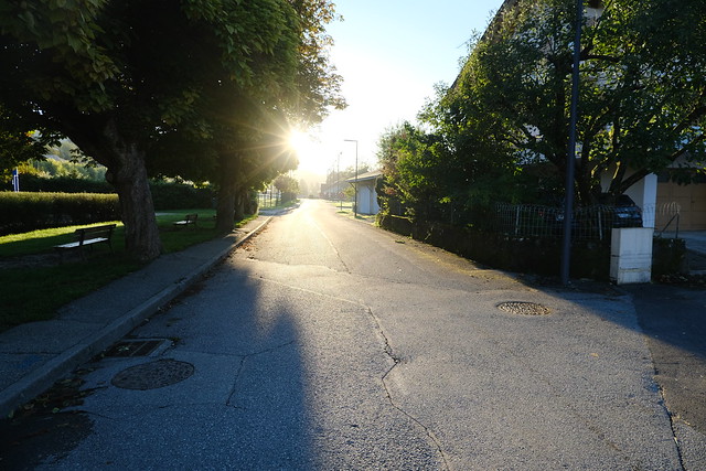
▲ In Frangy.
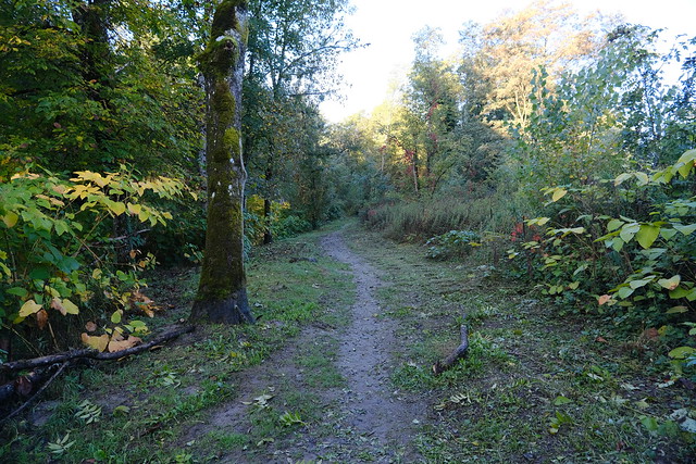
▲ Trail along the Usses river (Sentier du Pêcheur).
▲ Usses river.
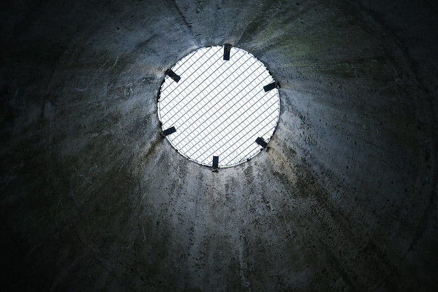
▲ Underpass.
▲ Vineyard on the other side of the Usses.
▲ Grand Crêt d’Eau.
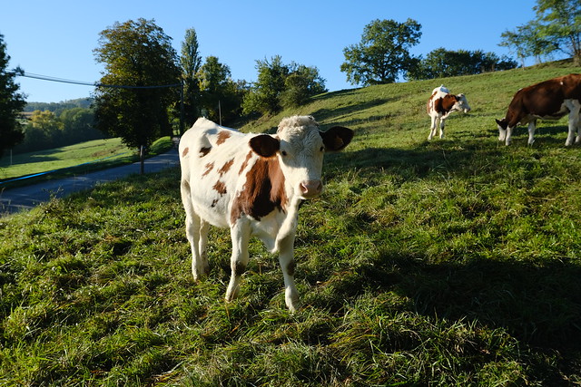
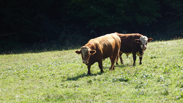
▲ Calf. The trail was supposed to go through their pasture but they looked a bit too excited so I walked on the road instead to go around.
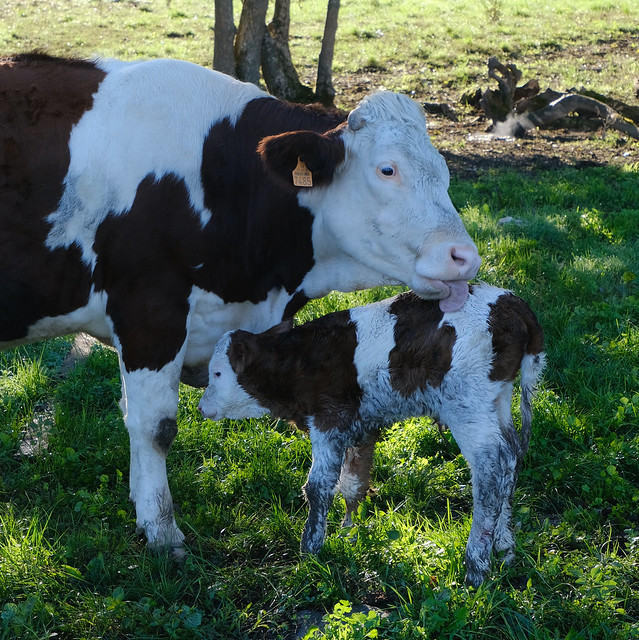
▲ Mother cow and her calf at a farm in the hamlet of Champagne.
▲ Grand Crêt d’Eau.
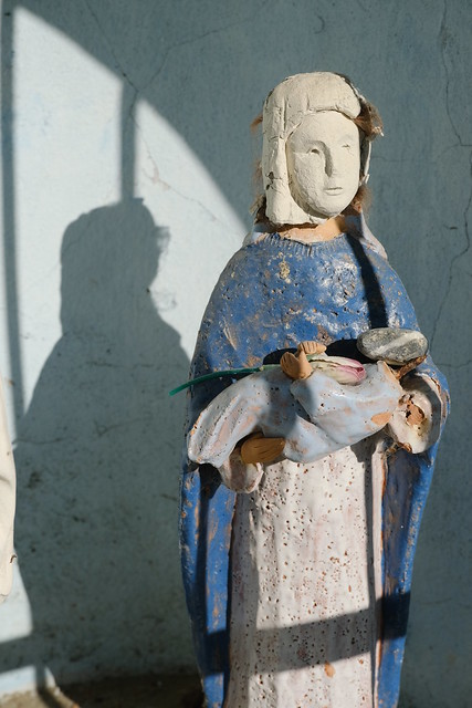
▲ Shrine to the Holy Virgin. It reminded me of this.
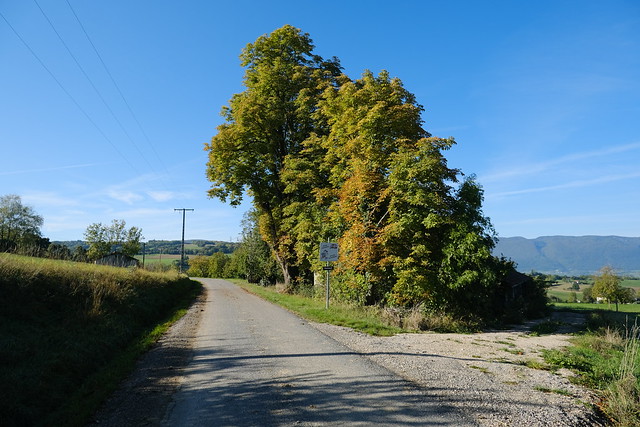
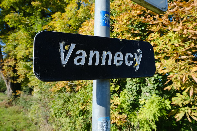
▲ In the hamlet of Vannecy, still on the Camino de Santiago.
▲ Desingy.
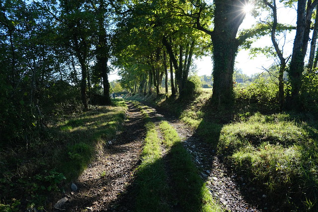
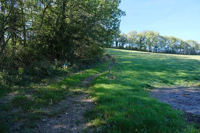
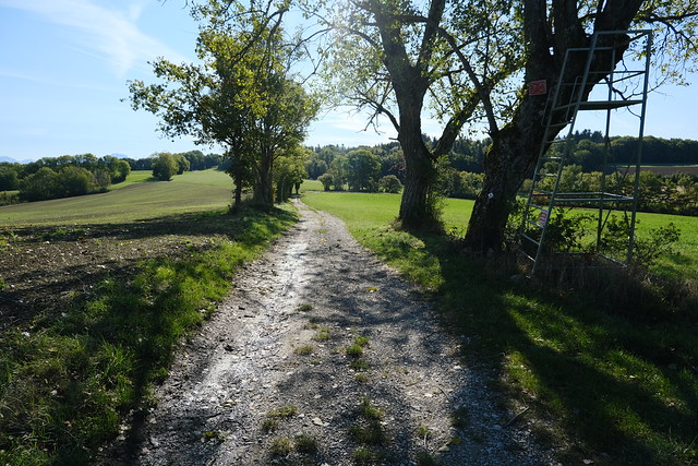
▲ Starting from there, I left the Camino de Santiago.
▲ Grand Crêt d’Eau and Vuache,
▲ Grand Crêt d’Eau.
▲ Towards Chaumont.
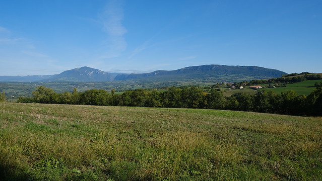
▲ Montagne de Sous-Dine in the Bornes mountains.
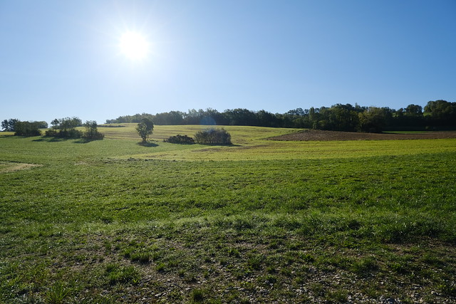
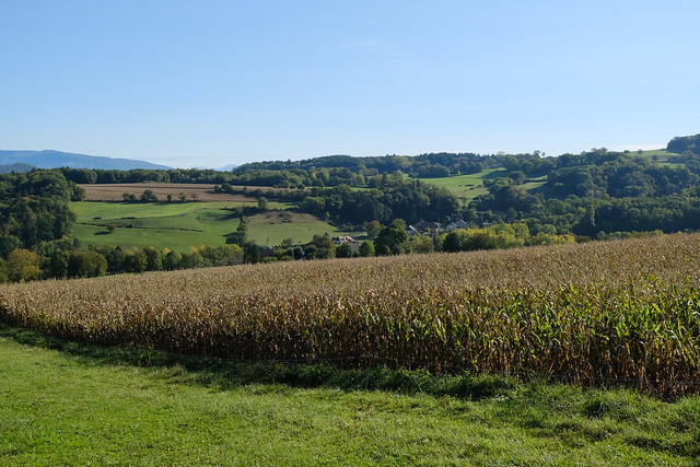
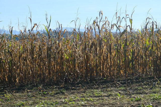
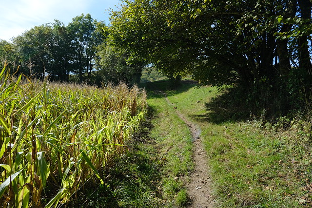
▲ Corn field.
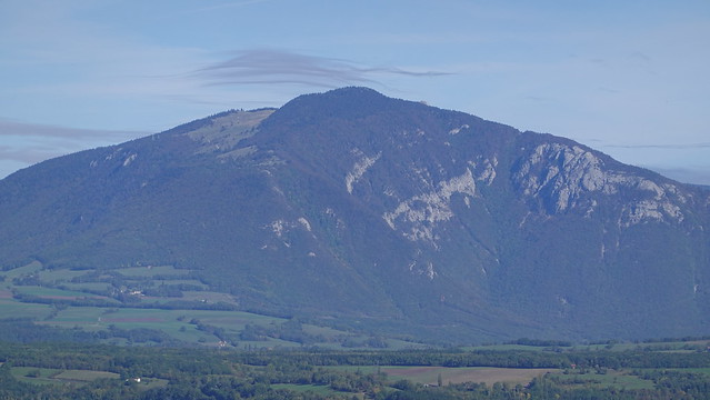
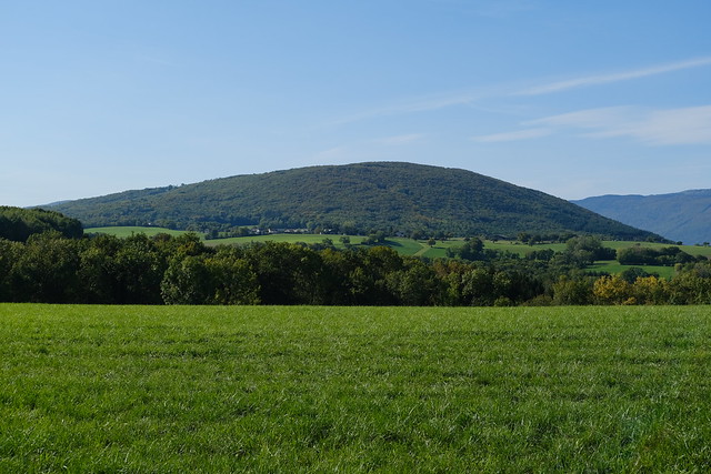
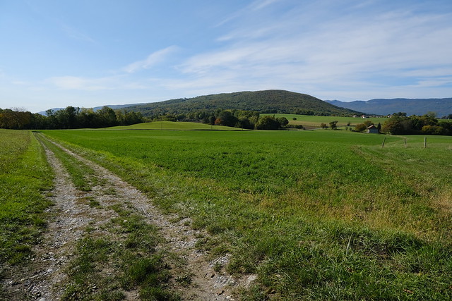
▲ Montagne des Princes in view.
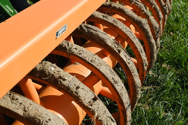
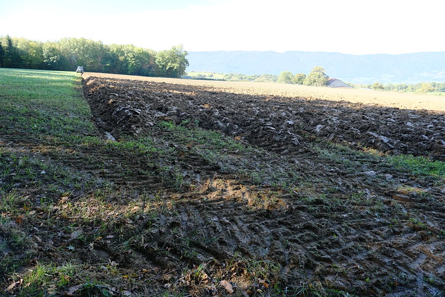
▲ Preparing the field for planting.
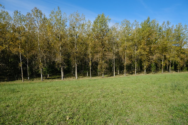
▲ Forest plantation.
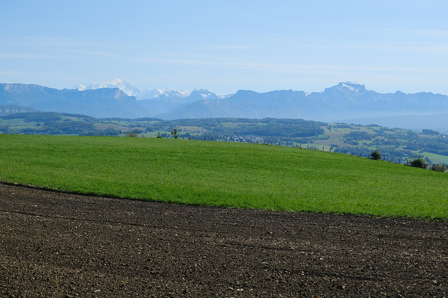
▲ Mont Blanc and La Tournette.
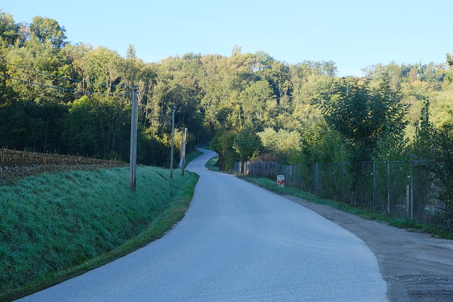
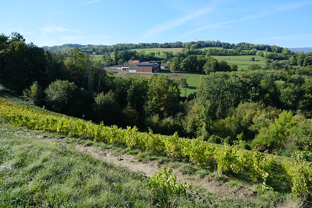
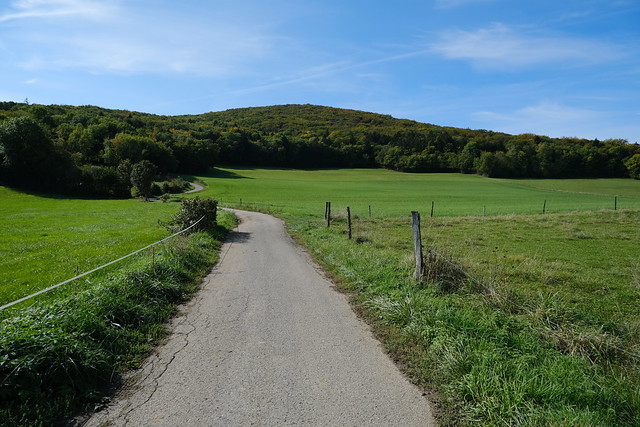
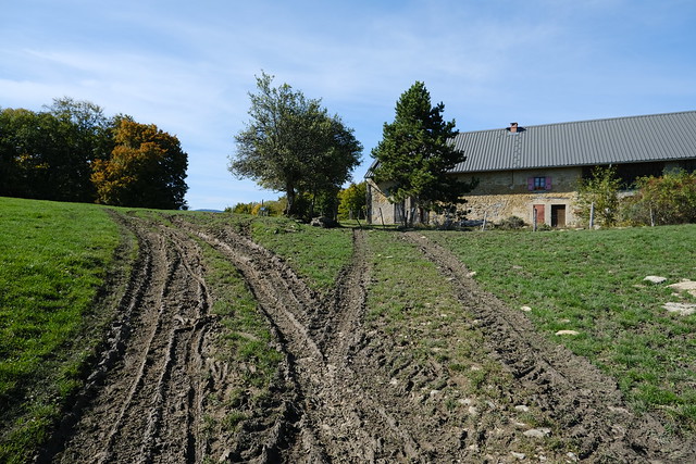
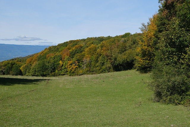
▲ Below Montagne des Princes.
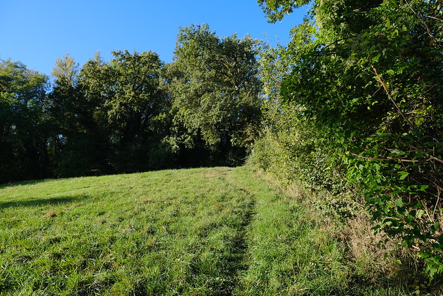
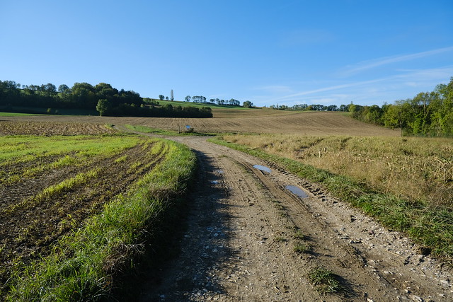
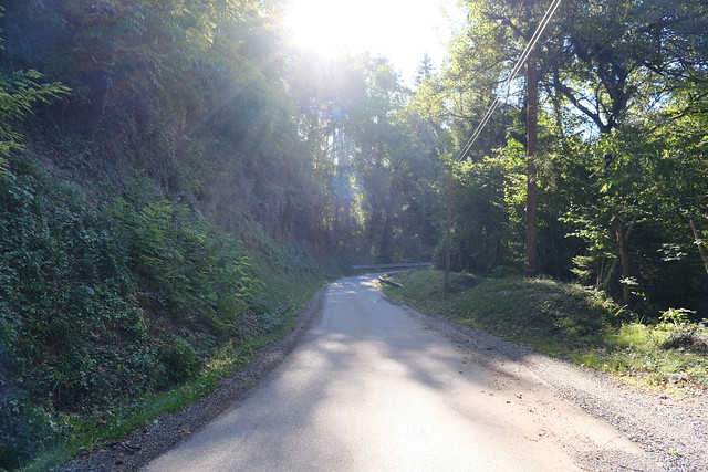
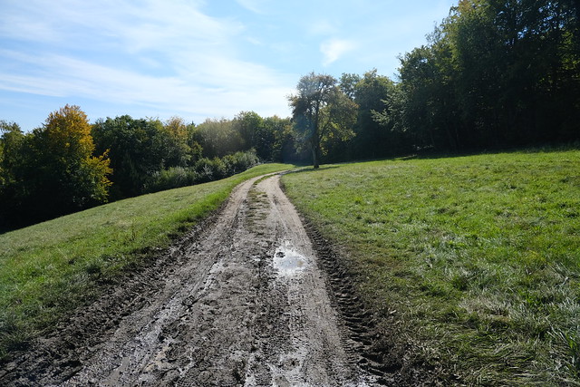
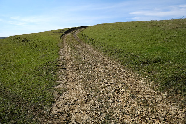
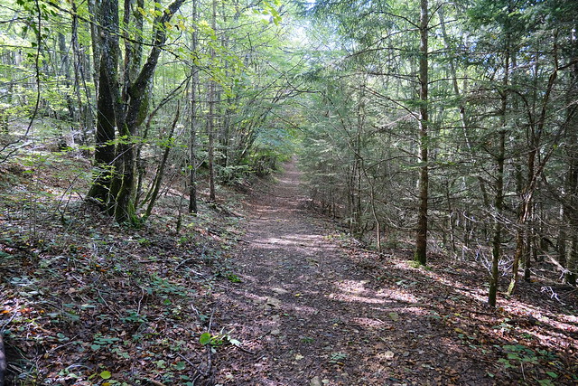
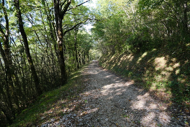
▲ Dirt road to the summit.
▲ Semnoz.
▲ Salève.
▲ Montagne de la Mandallaz on the right.
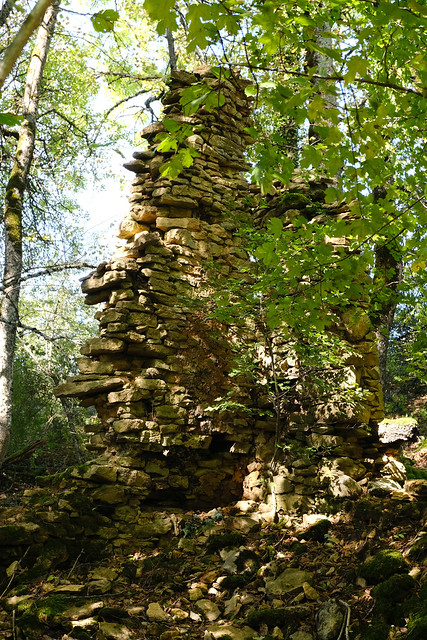
▲ Ruins of Chez Pantet. A resistance group was based there during WW2.
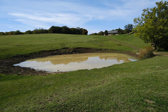
▲ La Mare.
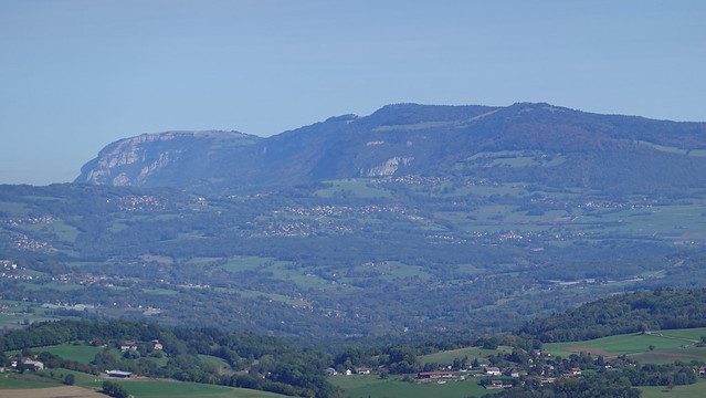
▲ Montagne du Gros Foug.
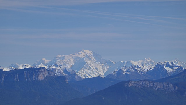
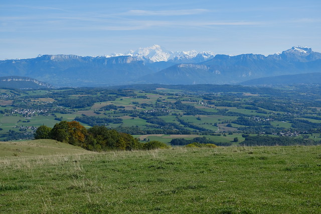
▲ Mont Blanc
▲ Ferme du Comte.
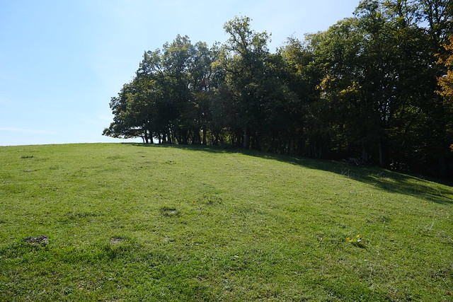
▲ Summit of Montagne des Princes.
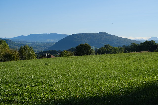
▲ Towards the Bauges Valley.
▲ Bornes, with Dents du Midi in the background.
▲ Tête de la Mandallaz.
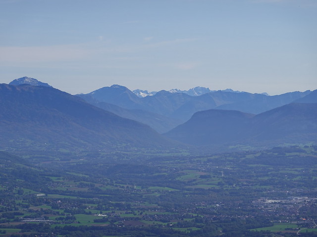
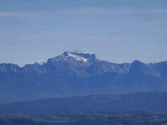
▲ Tournette.
▲ On the way down.
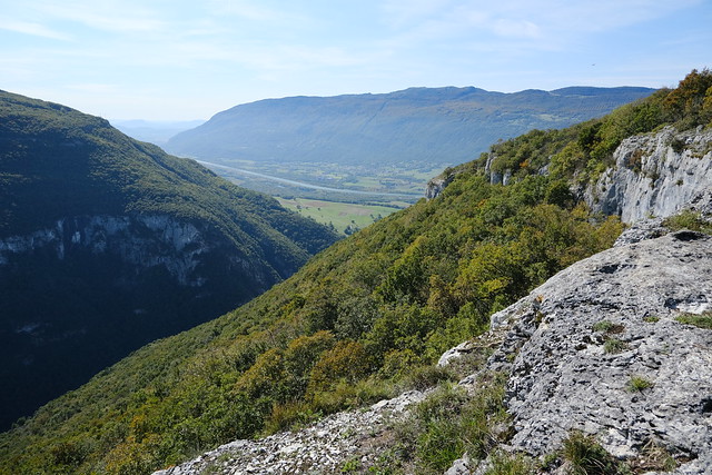
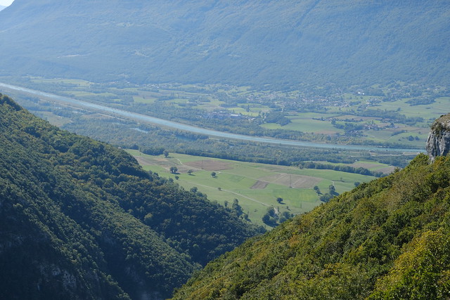
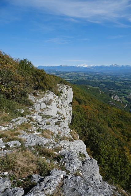
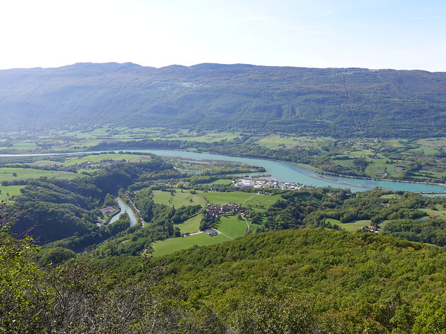
▲ At a viewpoint on a cliff near Gorges du Val de Fier, looking at the Rhône.
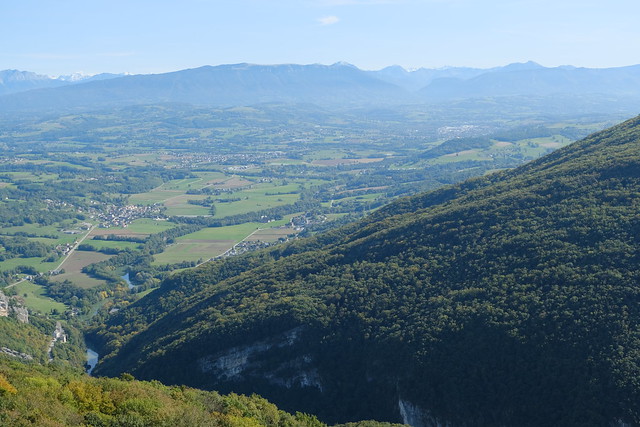
▲ Towards the Bornes mountains and Annecy.
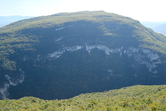
▲ Montagne du Gros Foug on the other side of the Fier.
▲ Ruin of Chapelle Saint-André.
▲ Rhône.
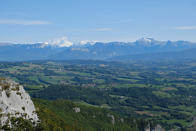
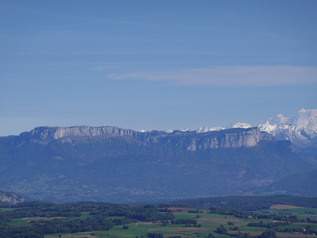
▲ Mont Blanc and Tournette. A tiny tiny sliver of Lake Annecy can also be seen.
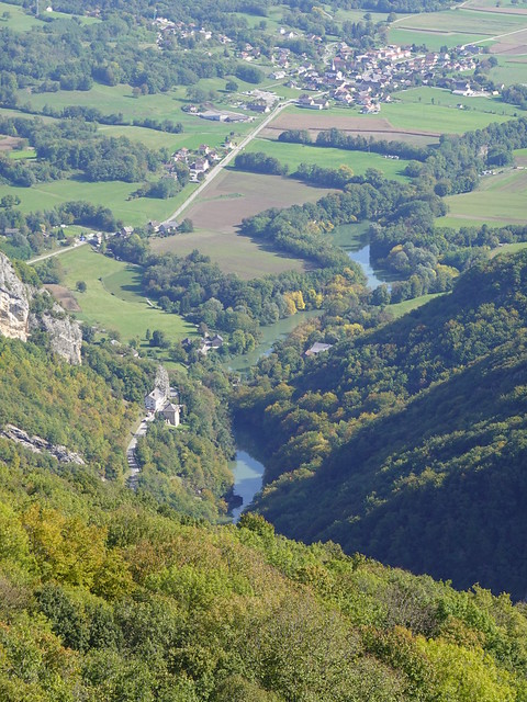
▲ Fier river.
▲ Pays de l’Albanais.
▲ Parmelan.
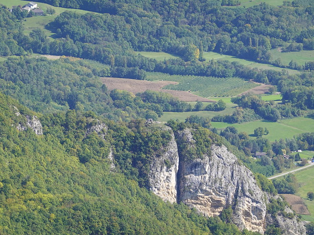
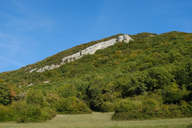
▲ Cliff.
▲ On the way to Seyssel.
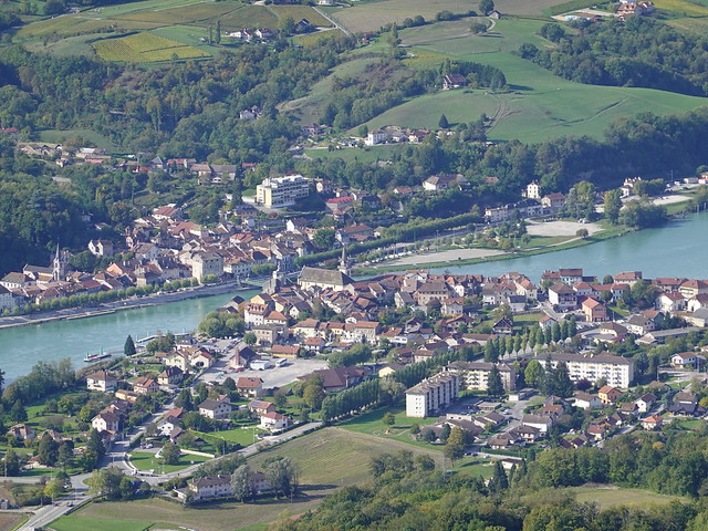
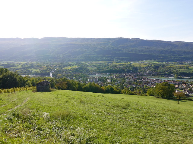
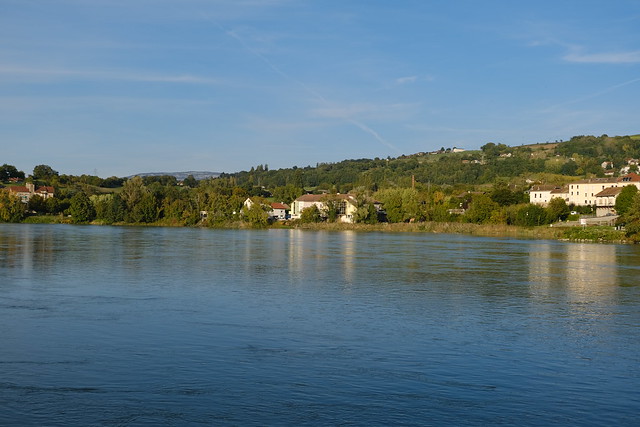
▲ Rhône and Seyssel.
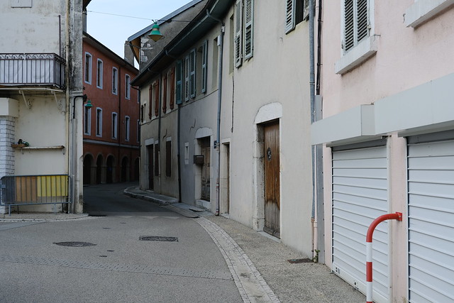
▲ The Rhône splits the town in 2: one side is in Haute-Savoie, the other in Ain. Theses days, it is actually 2 distinct towns (from an administrative point of view).
▲ Confluence of Fier and Rhône.
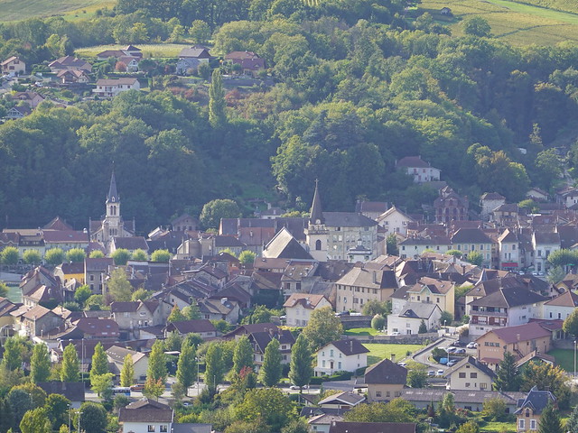
▲ Seyssel.
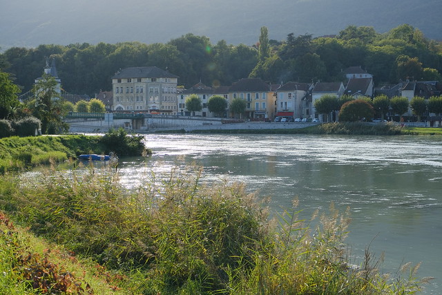
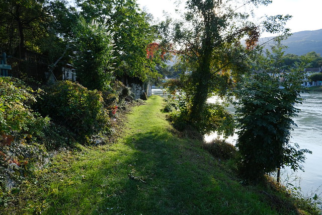
▲ At the Rhône.
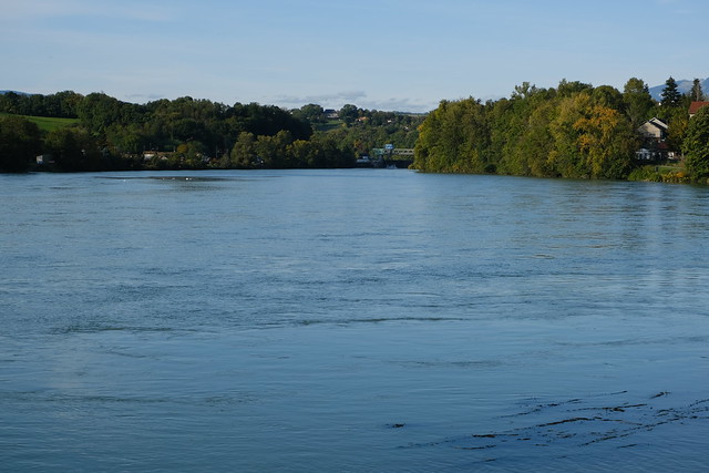
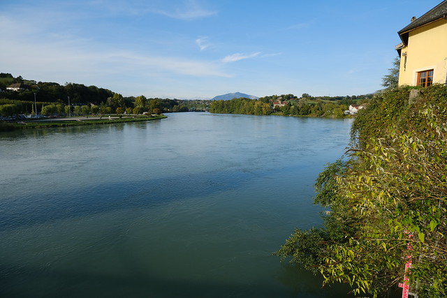
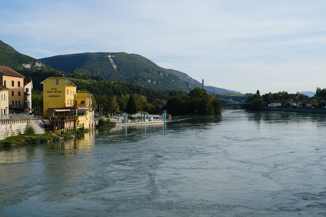
▲ Looking upstream.
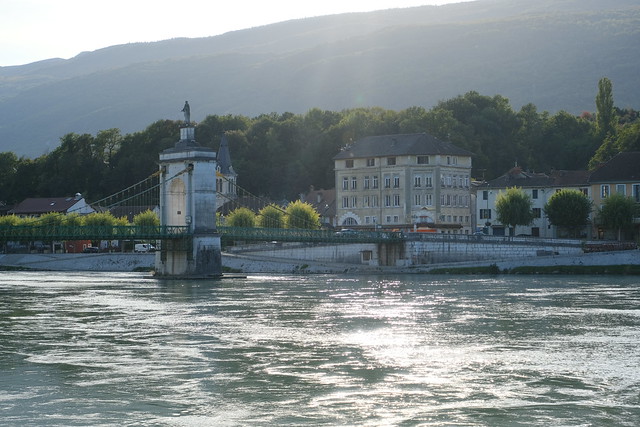
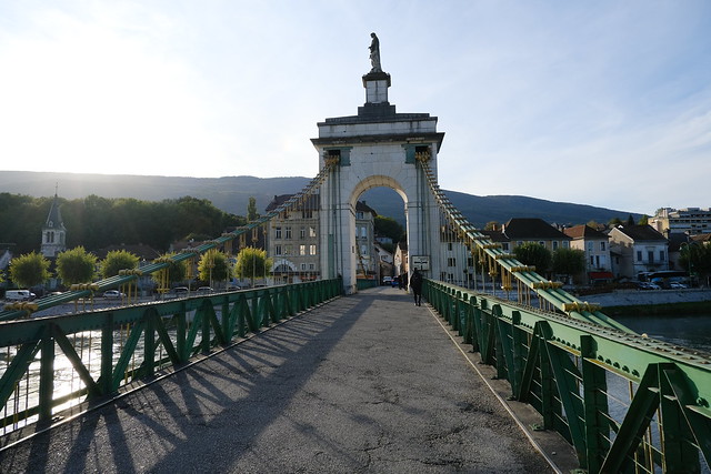
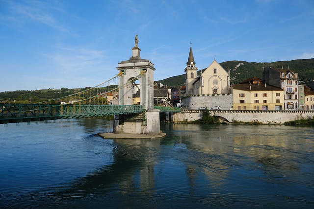
▲ Pont de la Vierge acrosse the Rhône.
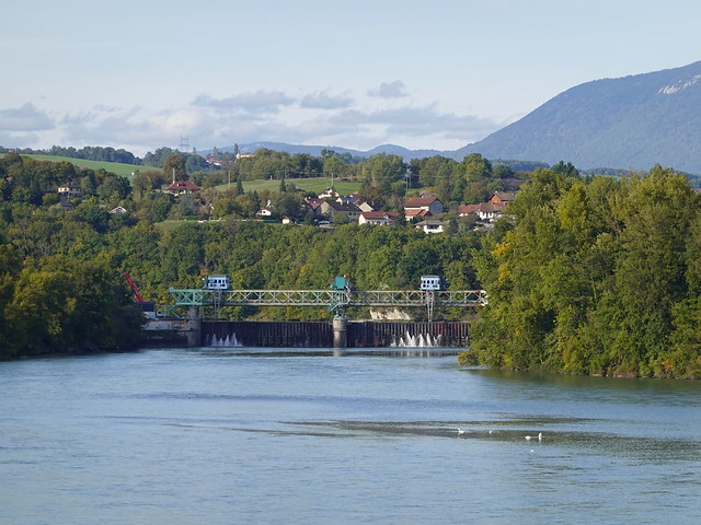
▲ Barrage de Seyssel (dam).
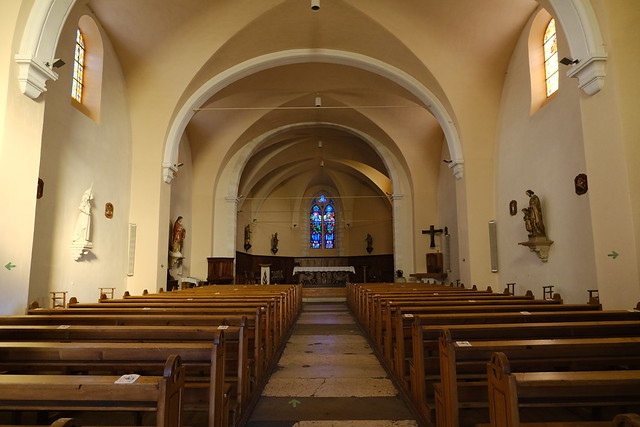
▲ Église Saint-Blaise.
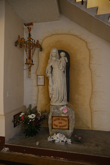
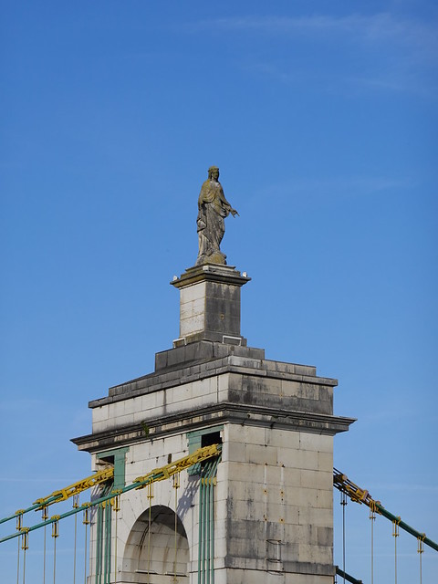
▲ Statue of Notre Dame du Bon Départ.
▲ Grand Crêt d’Eau in the background.
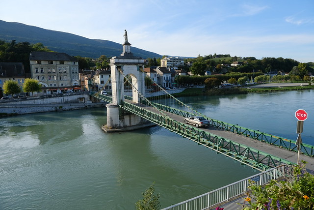
▲ Crossing Pont de la Vierge towards Ain.
▲ Downstream.
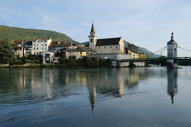
▲ In Ain, looking at the bridge and Église Saint-Blaise.
▲ The Virgin at the top of the bridge.
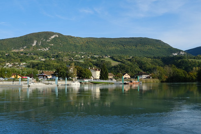
▲ Montagne des Princes in Savoie.
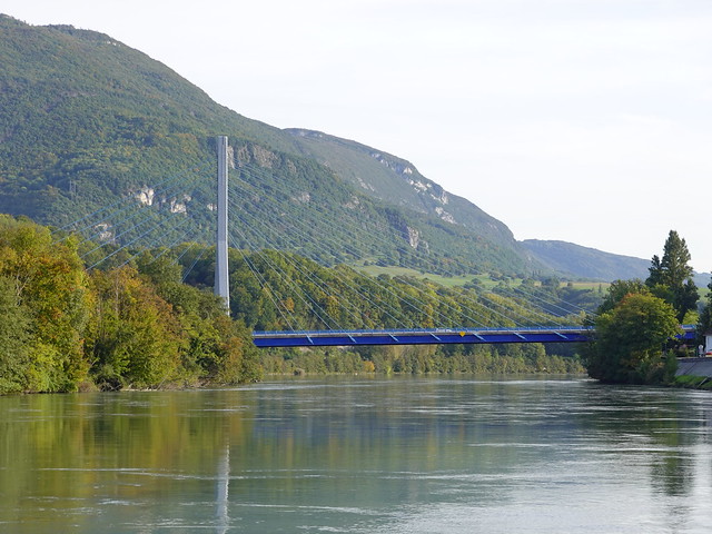
▲ The newer Pont de Seyssel.
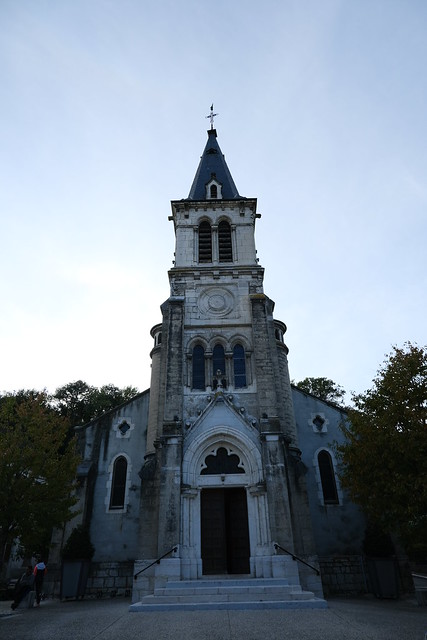
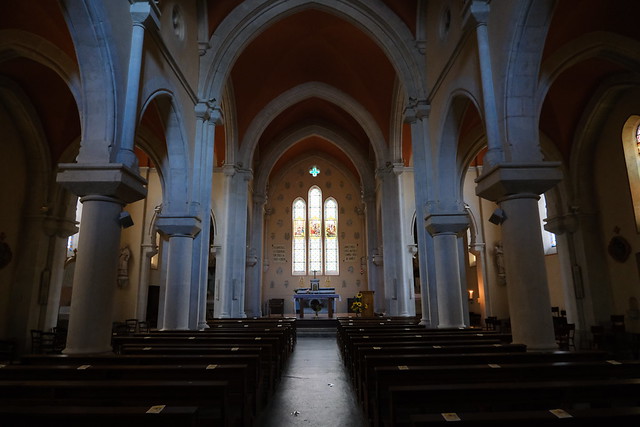
▲ Église Saint-François-de-Sales.
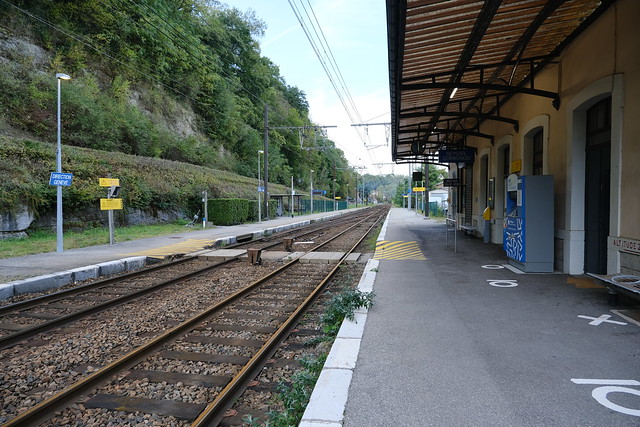
▲ I walked to the train station.
▲ Train station. The SNCF bus to Bellegarde stopped next to it.

