Hike to Mont Lachat de Thônes
In the fall of 2020, I went a hike to Mont Lachat de Thônes, in the Bornes mountains. I had already been in the area, to the Belvédère (viewpoint) of Mont Lachat. This time, I went to the summit.
Here is a map of the path I walked:
- Download path KML
- Download photo KML
- Download large map
- More photos on Flickr
- Day of the hike: October 21st, 2020
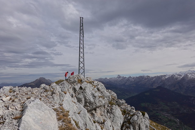
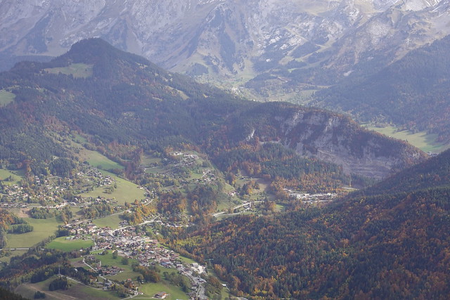
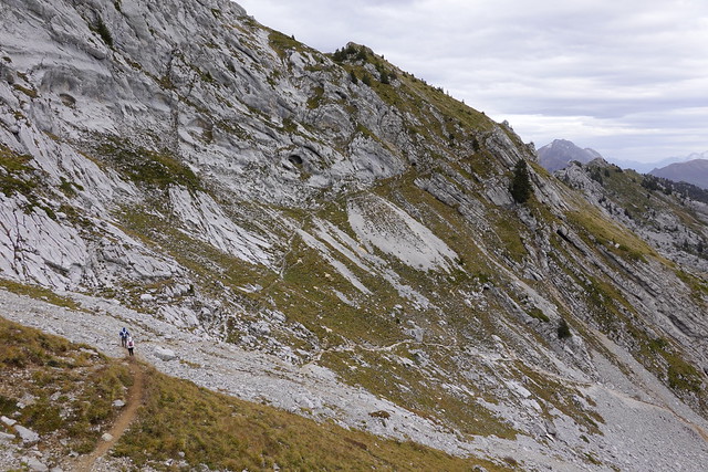
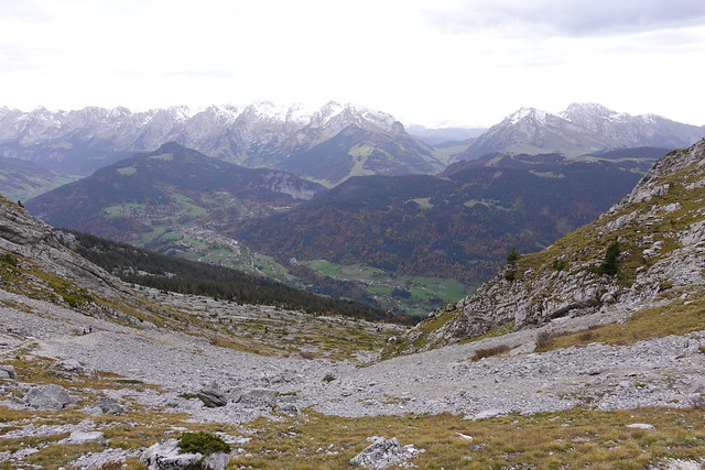
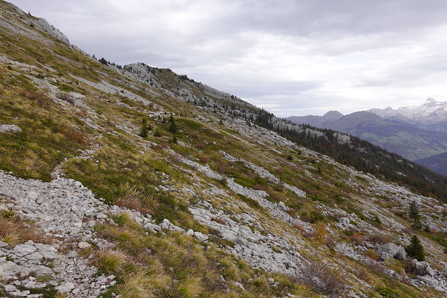
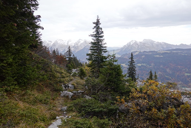
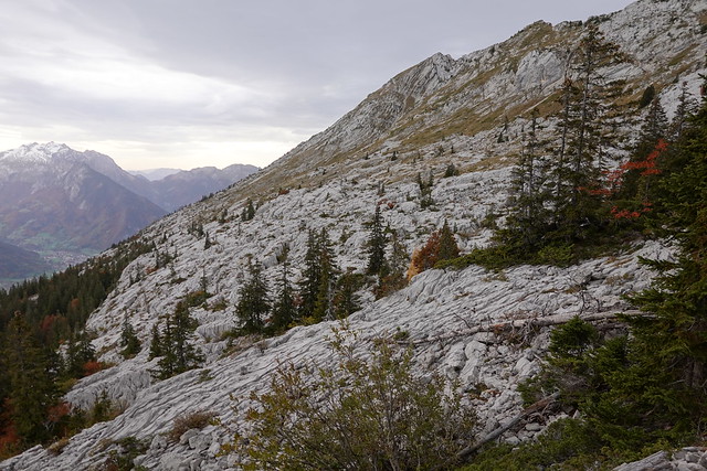
In the morning, I took a Car Région (line Y62) to Saint-Jean-de-Sixt. I got off at the Forgeassoud bus stop. I walked on the paved road until the trailhead at Forgeassoud Dessus. At first, it followed a dirt road. The last part to the summit was a steep trail. I arrived at the large summit cross after a while. From there, there was a great view on all the Bornes mountains. Mont Blanc could also be seen. I started on the way down. Instead of going back the same way, I took a trail through the limestone plateau. My goal in the morning was to go to a second summit, Le Suet. However, it started drizzling and, after going trough the plateau, I went down directly. I found the dirt road I had followed in the morning then kept going down to the bus stop. It was raining quite hard when I reached it.
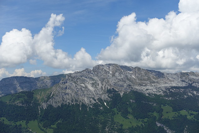
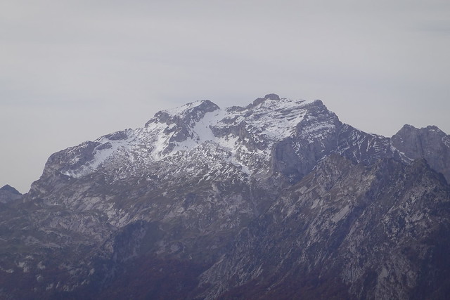
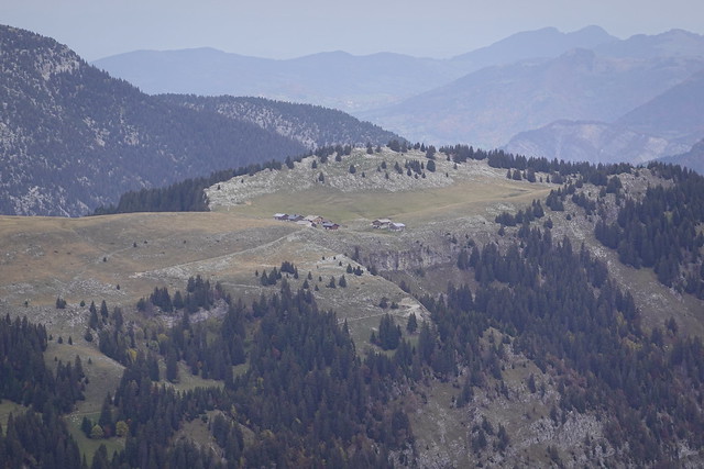
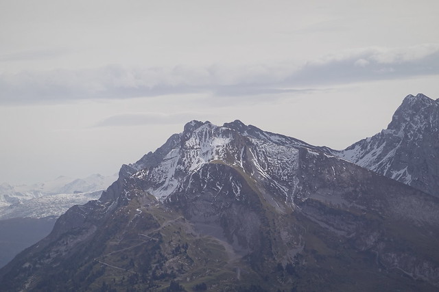
▲ Looking at Mont Lachat from the Forgeassoud bus stop.
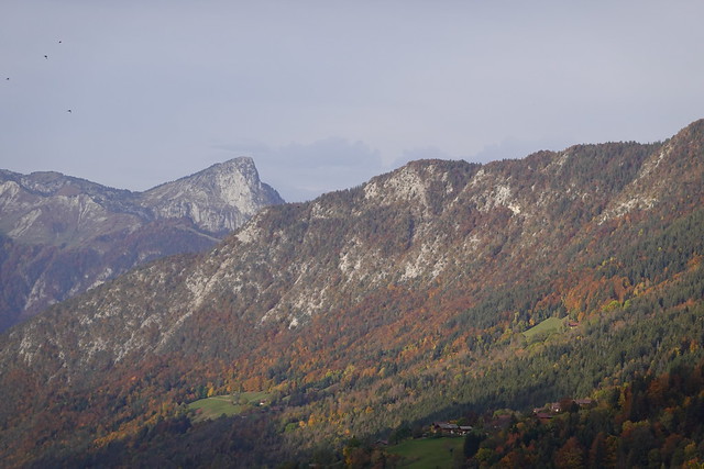
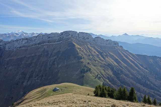
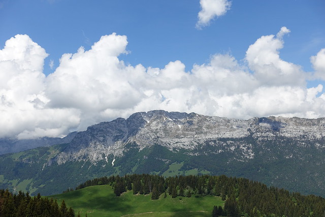
▲ Roc de Charmieux and Roc des Tours.
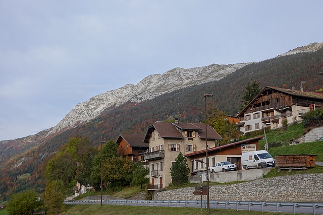
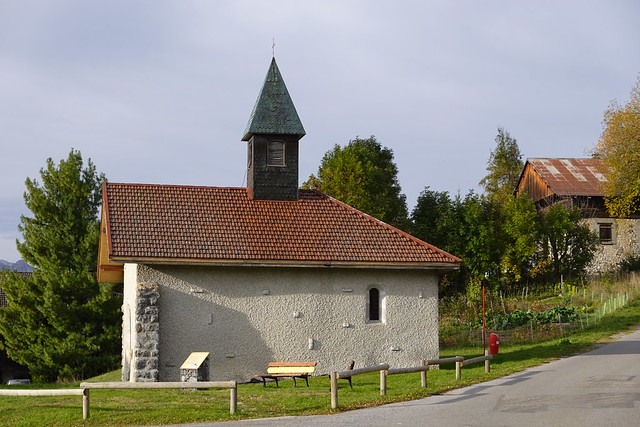
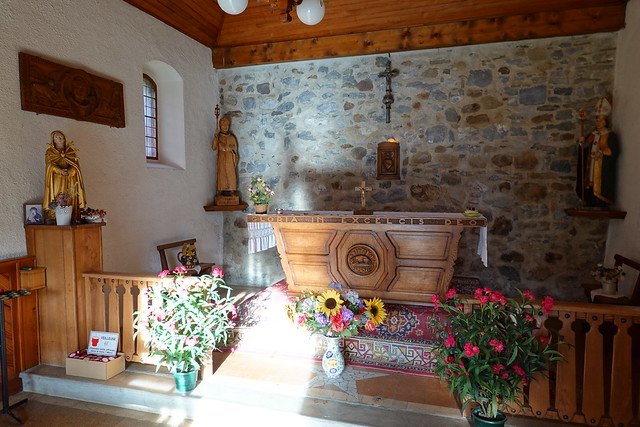
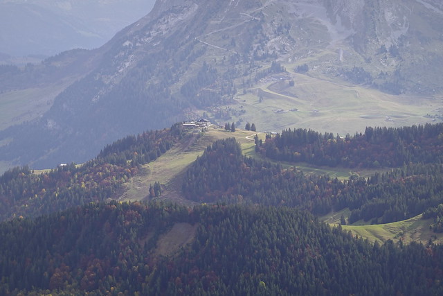
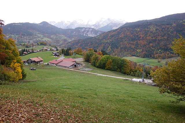
▲ Chapelle du Forgeassoud.
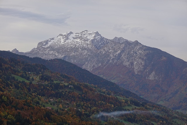
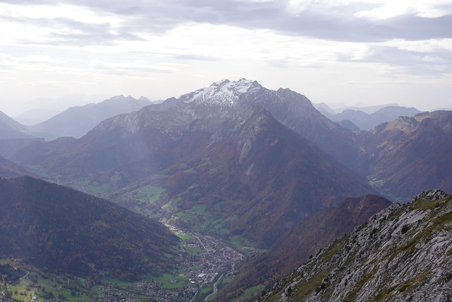
▲ La Tournette.
▲ GAEC Milk & Bouse.
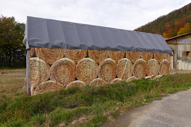
▲ Fake haystacks.
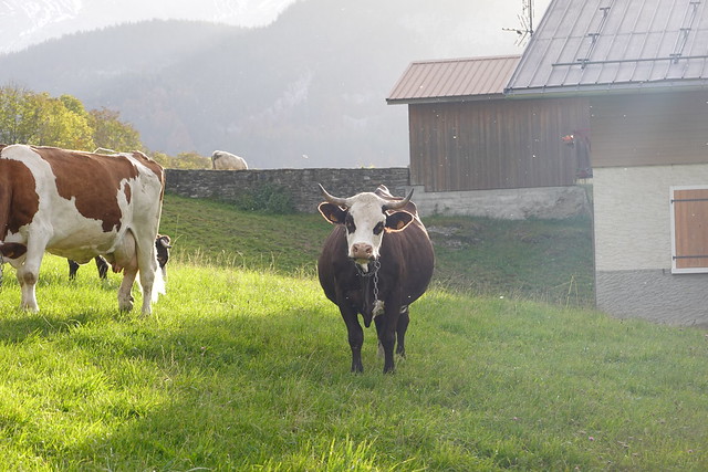
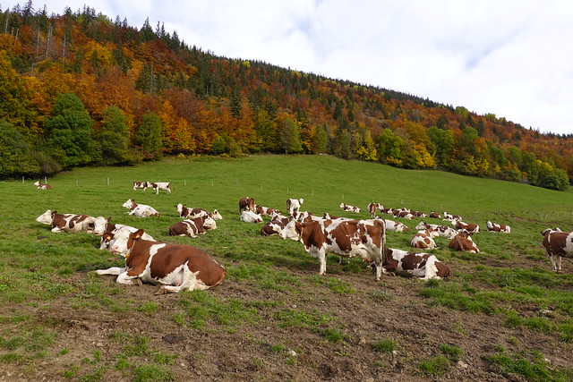
▲ Cows.
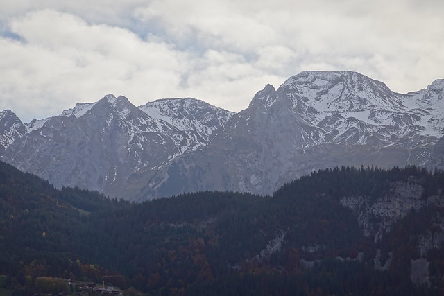
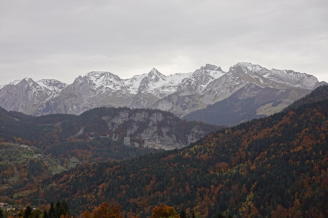
▲ Aravis.
▲ On the dirt road.
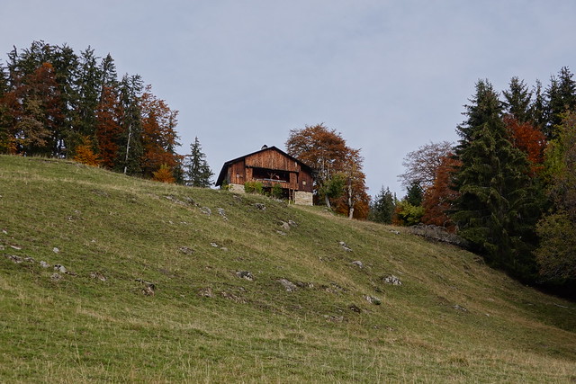
▲ Chalet.
▲ La Tournette.
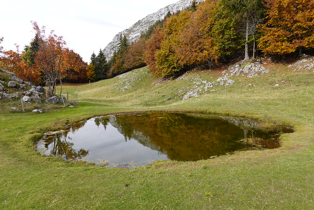
▲ Pond at La Mare.
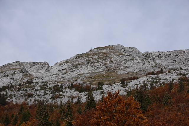
▲ Summit of Mont Lachat above. Still a long way to go.
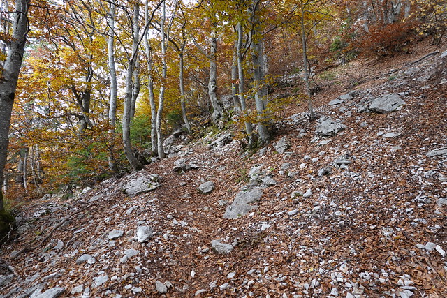
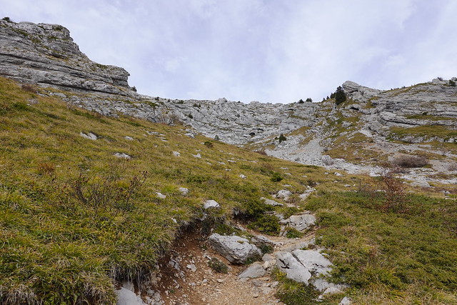
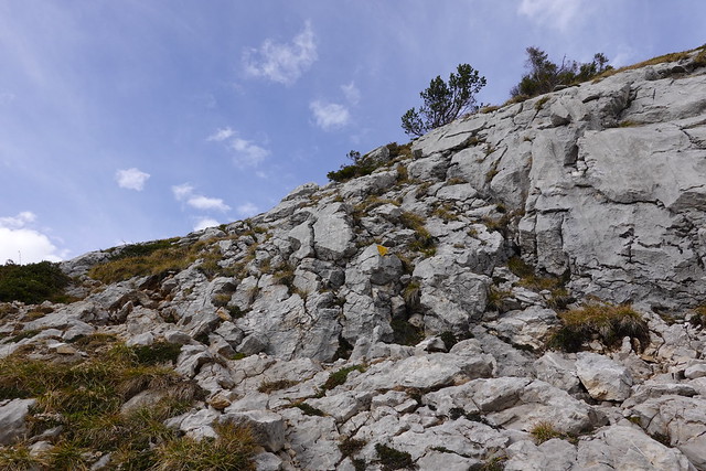
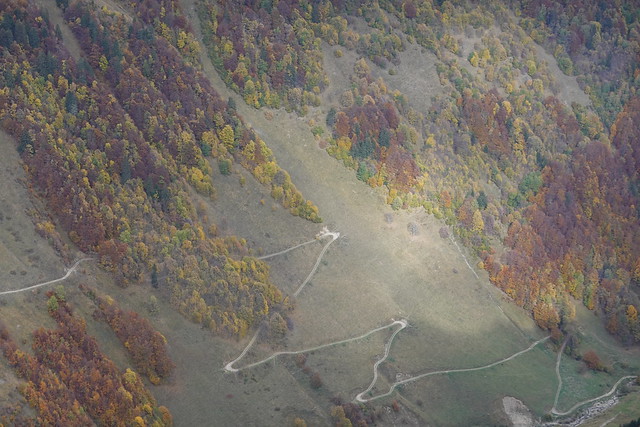
▲ Trail.
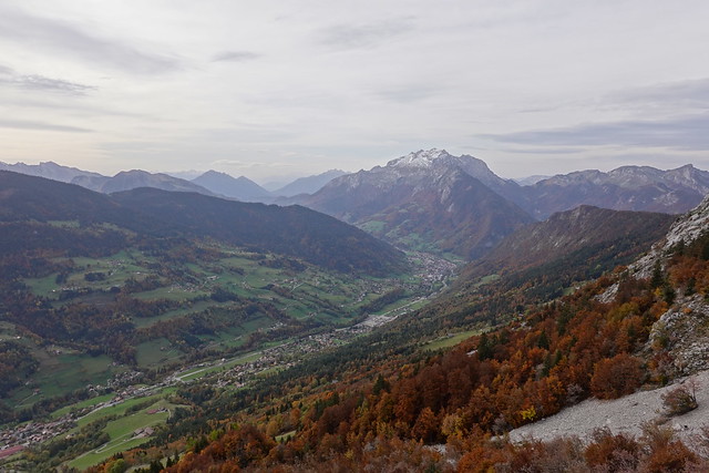
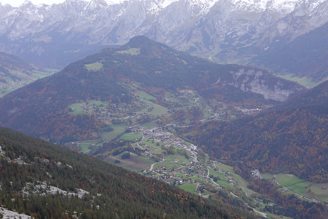
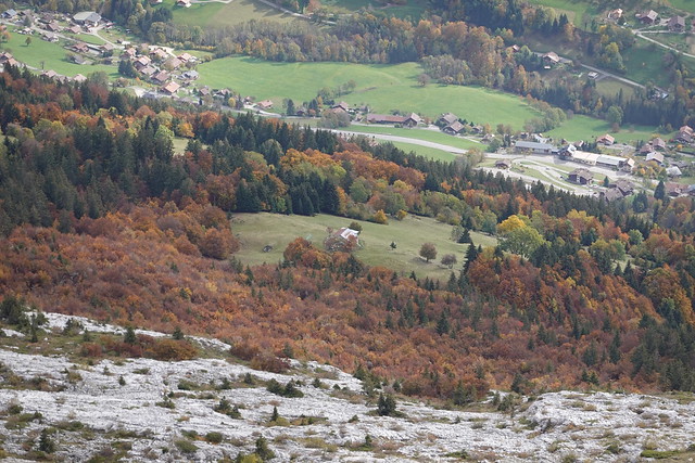
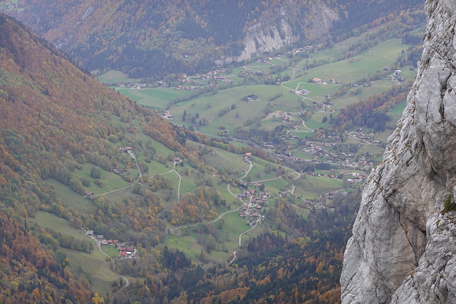
▲ Vallée de Thônes, with La Tournette in the background.
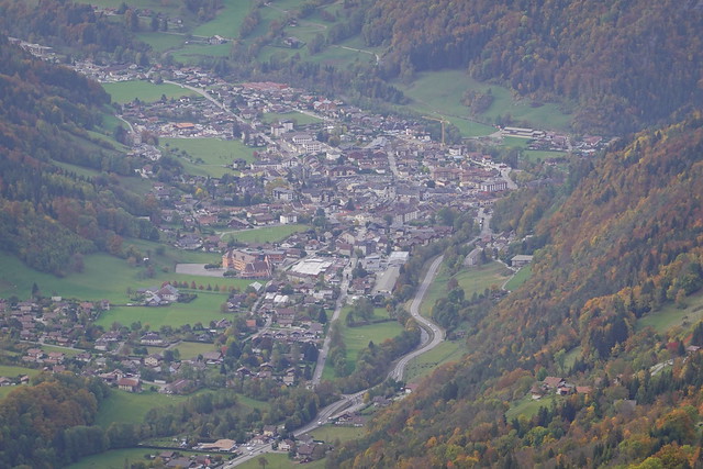
▲ Thônes.
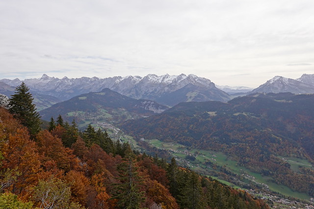
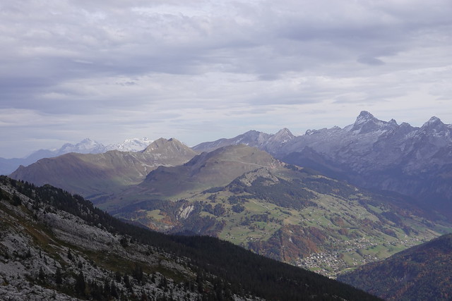
▲ Aravis.
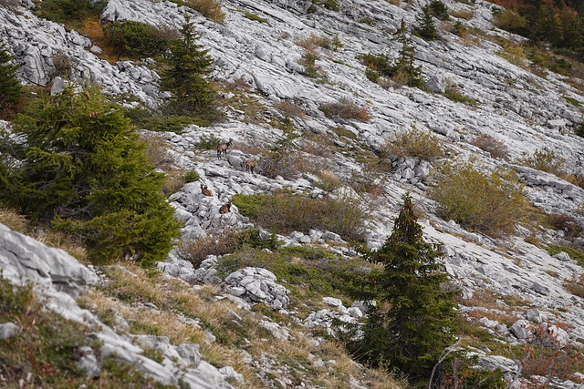
▲ Chamois on the limestone plateau.
▲ Pic de Jallouvre in the background.
▲ Tête du Danay.
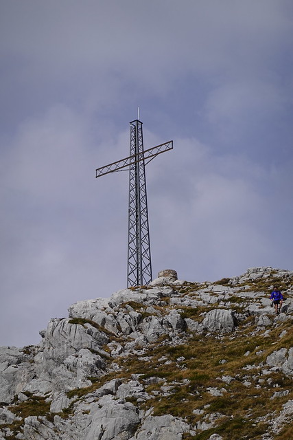
▲ Large cross at the summit.
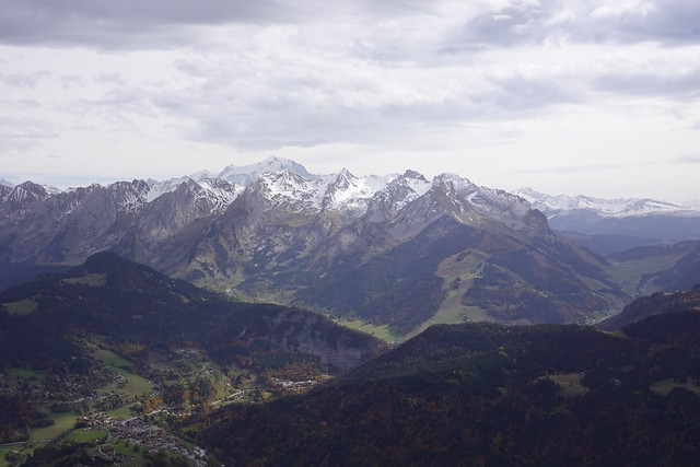
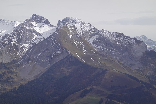
▲ Aravis and Col des Aravis.
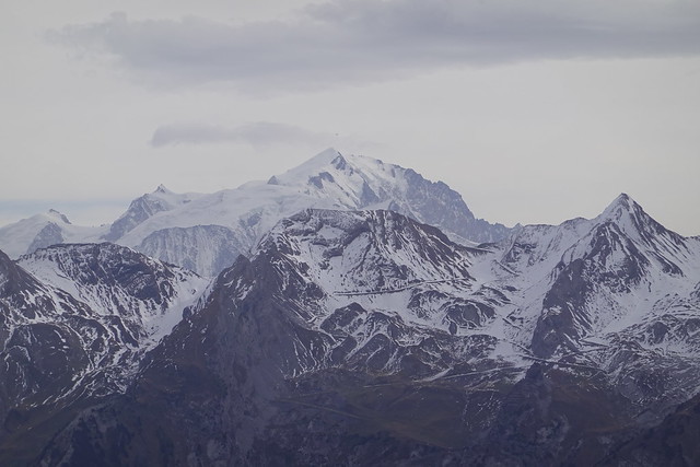
▲ Mont Blanc.
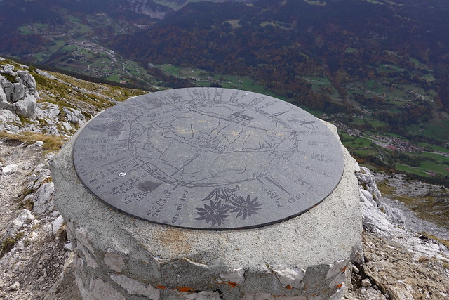
▲ Orientation table at the summit.
▲ Pointe de la Québlette.
▲ Mont Lachat seen from Pointe de la Québlette.
▲ Mont Téret.
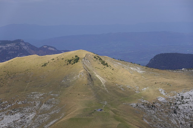
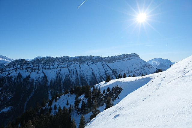
▲ Montagne des Auges. I went there recently on a snowshoe hike.
▲ Mont Lachat seen from Montagne des Auges.
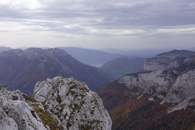
▲ Lake Annecy in the distance.
▲ Rochers de Leschaux.
▲ Pointe de Dran and Parmelan in the background.
▲ Col de la Buffaz.
▲ Pointe de Puvat.
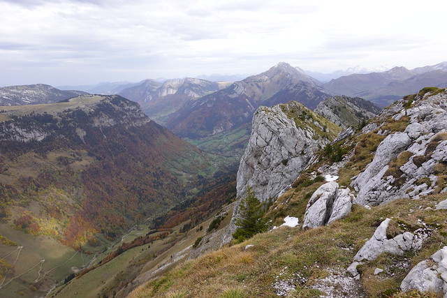
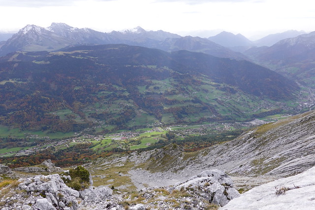
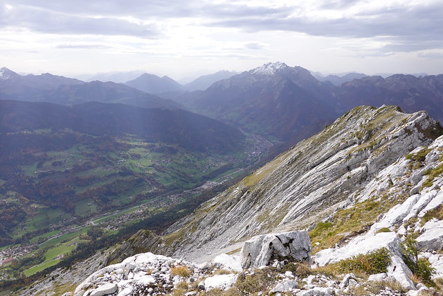
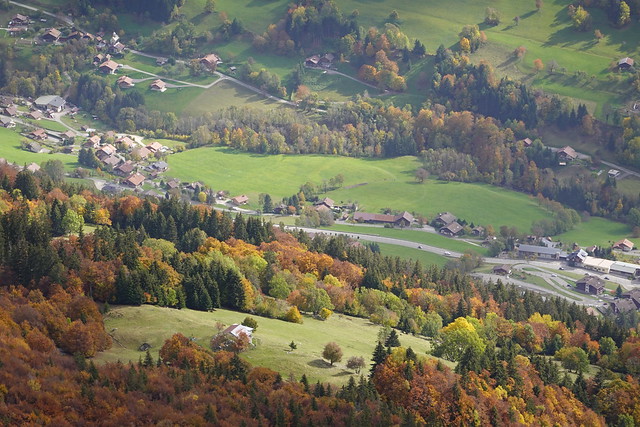
▲ Vallée de Thônes.
▲ Dent du Cruet and Dents de Lanfon.
▲ La Tournette,
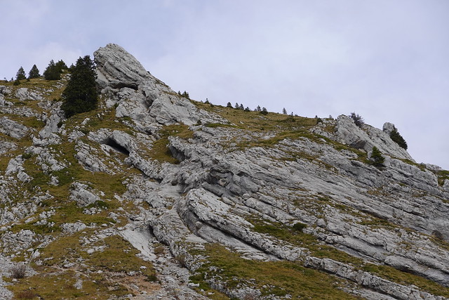
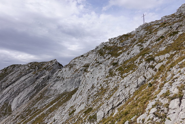
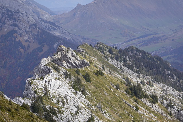
▲ Ridge towards Le Suet. There is a trail alongside but it is quite difficult it seems.
▲ Col de Tamié.
▲ Entremont.
▲ Aravis.
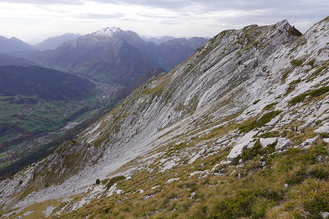
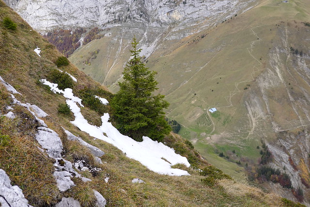
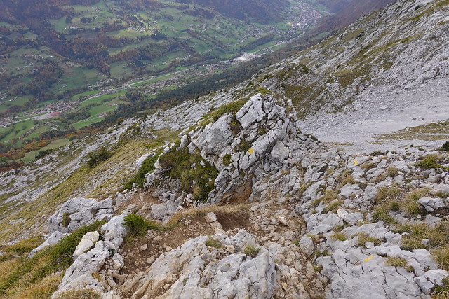
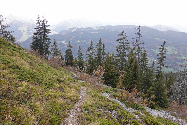
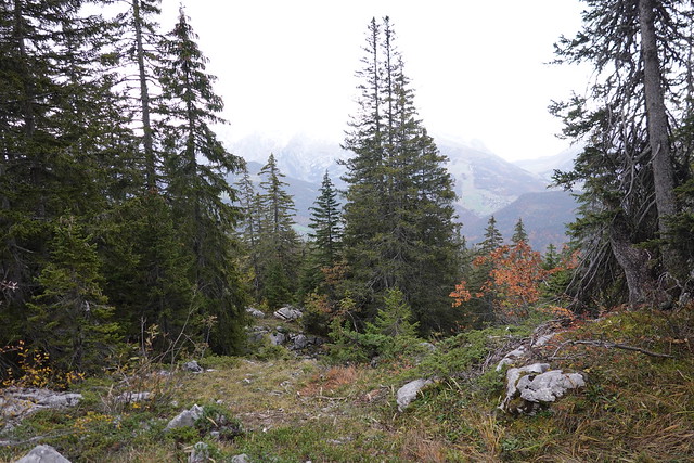
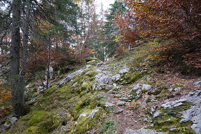
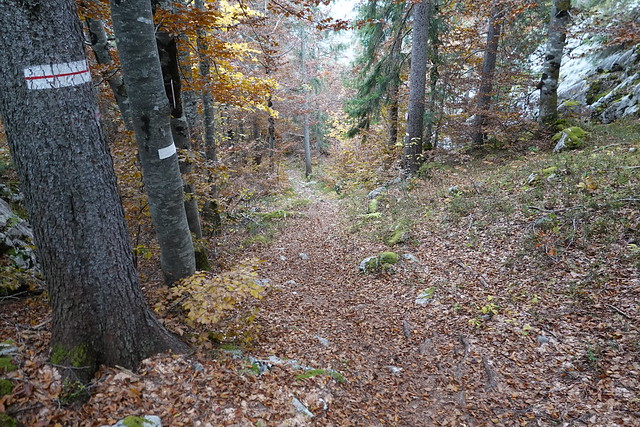
▲ On the way down.
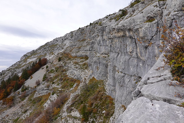
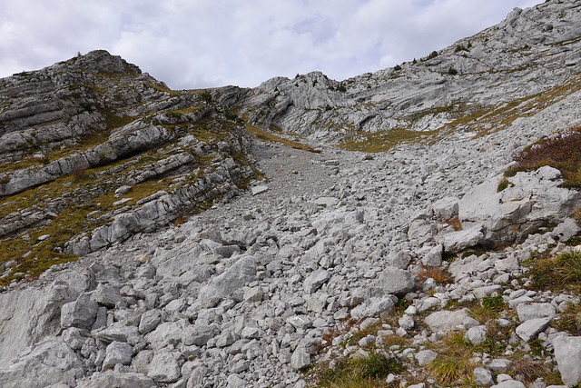
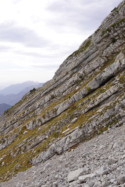
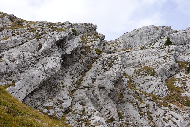
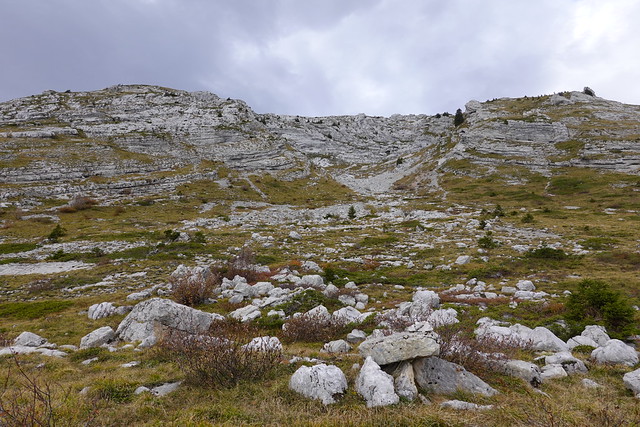
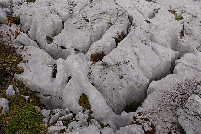
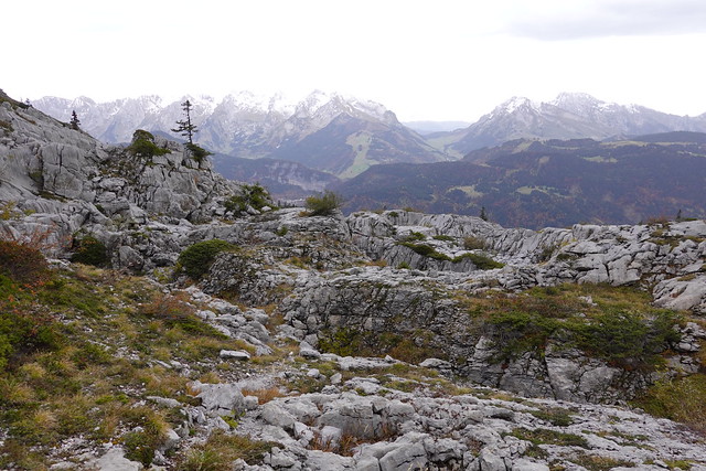
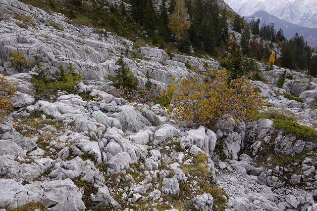
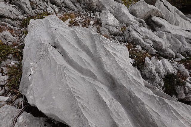
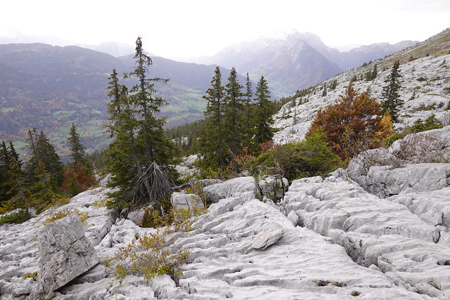
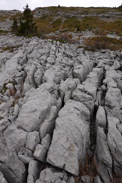
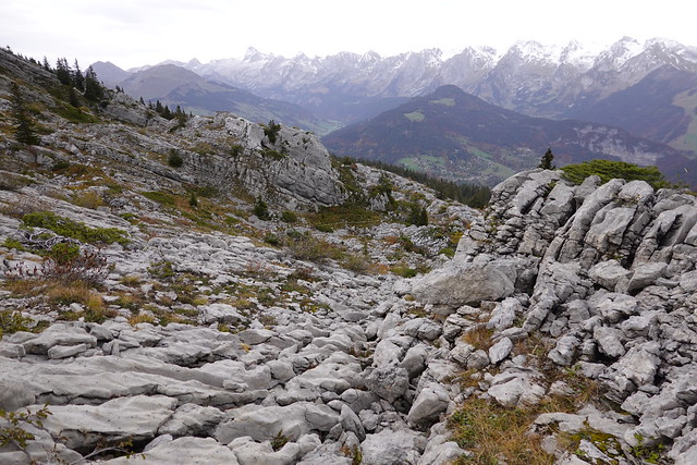
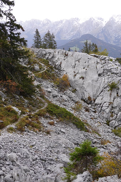
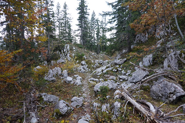
▲ Limestone plateau.
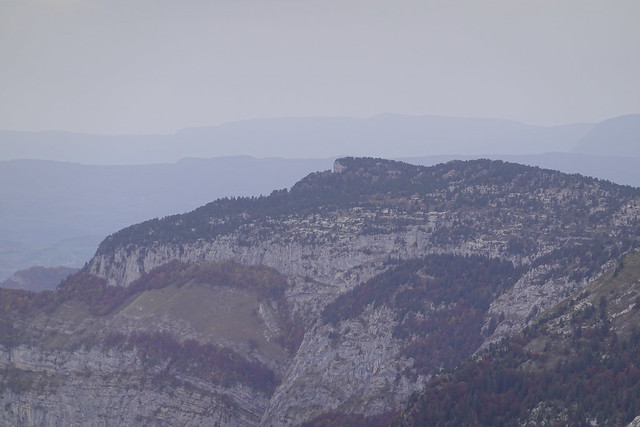
▲ Pointe de Deux Heures, Mont Lachat de Châtillon and Pointe Percée.
▲ Mont Lachat seen from Roc des Arces, below Mont Lachat de Châtillon.
▲ Pointe de Beauregard.
▲ Mont Lachat seen from Pointe de Beauregard.
▲ Aiguille de Borderan.
▲ Pointe Percée.
▲ Saint-Jean-de-Sixt and Tête du Danay.
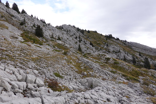
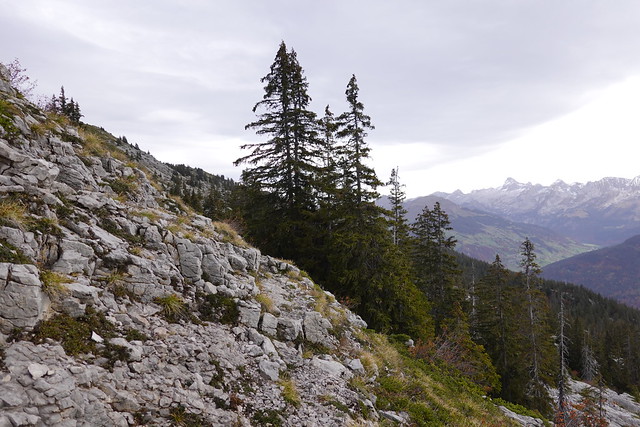
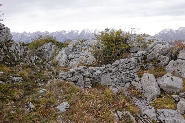
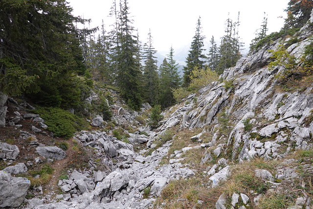
▲ On the plateau towards Le Suet.
▲ Tête du Danay.
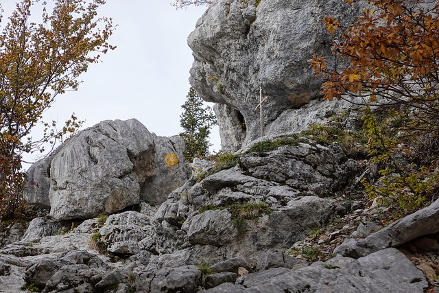
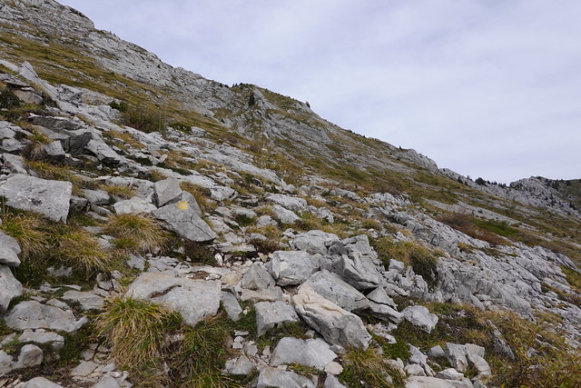
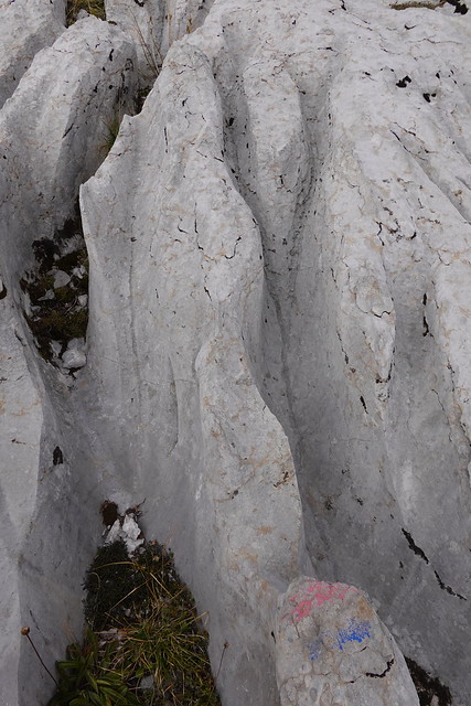
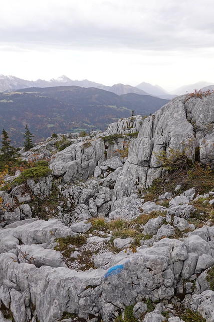
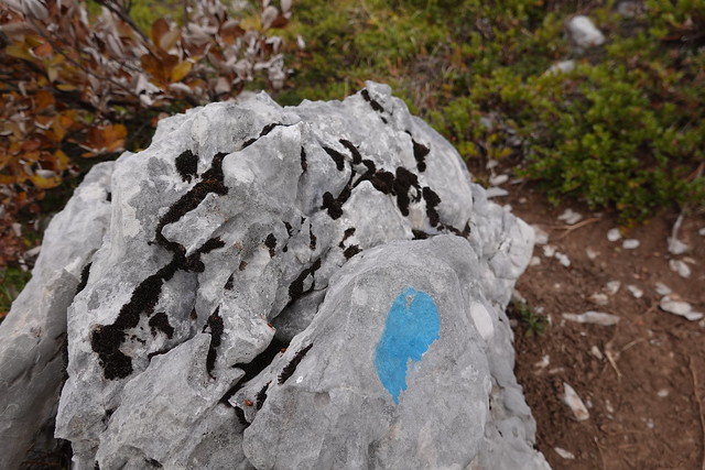
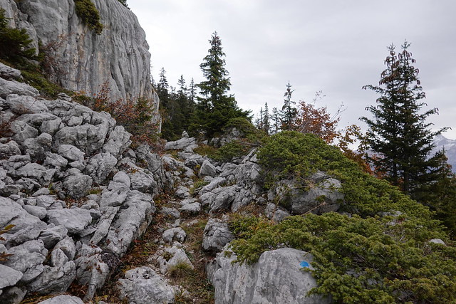
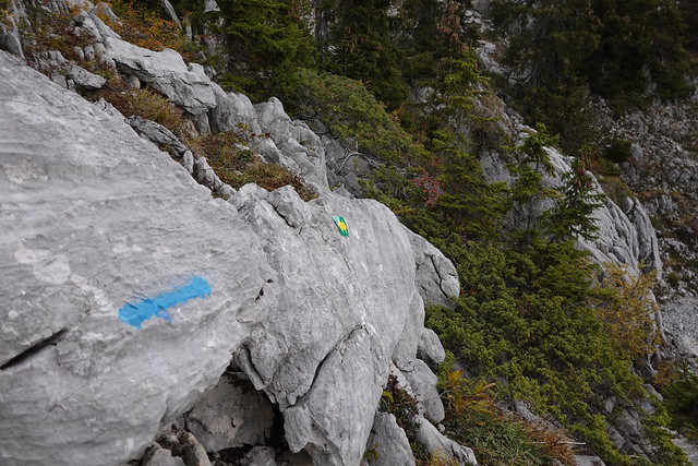
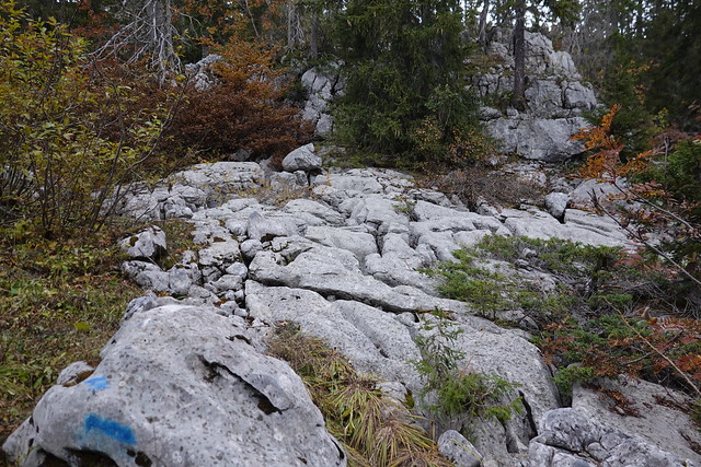
▲ There were blue paint marks on the rocks but the trail was hard to see sometimes.
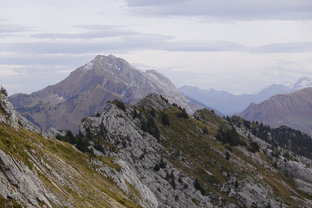
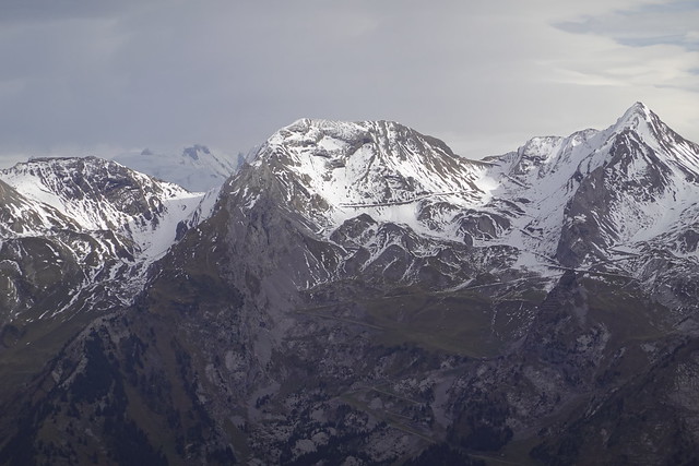
▲ La Roualle in the Aravis.
▲ Looking back.
▲ At that point, it had started to drizzle.
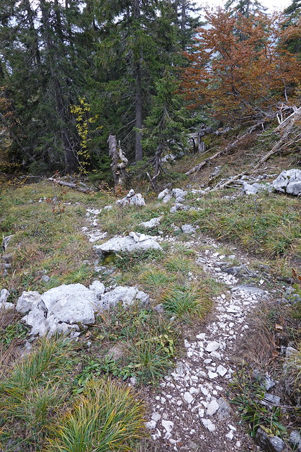
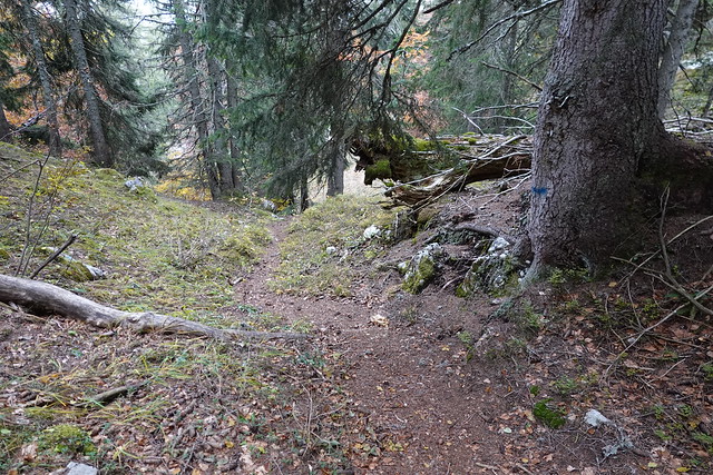
▲ On the way down.
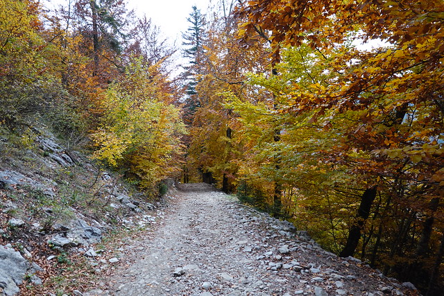
▲ On the dirt road to Forgeassoud.
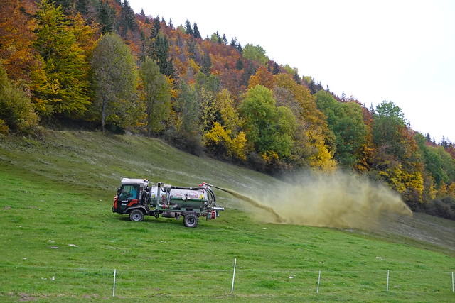
▲ Natural fertilizer. It stank really bad.
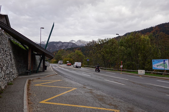
▲ At the bus stop.
