Hike from Thônes to Annecy through Plaine du Fier & Col des Contrebandiers
During winter 2021, I walked from Thônes to Annecy, passing trough Plaine du Fier (on the left bank) and Col des Contrebandiers.
Here is a map of the path I walked:
- Download path KML
- Download photo KML
- Download large map
- More photos on Flickr
- Day of the hike: February 21st, 2021
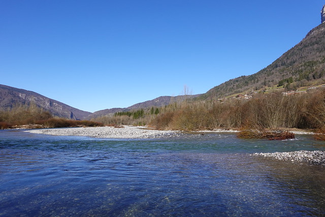
In the morning, I took a Car Région bus (line Y62) to Morette in Thônes. I crossed the Fier on Pont de Morette to get on the left bank and passed by Nécropole Nationale des Glières. Then I walked on the side of the road. At some point, I took a trail along the Fier that went around Zone d’Activité des Îles. After a while, I entered the area known as Plaine du Fier: I didn’t know about it when I went on this hike but the whole area along the Fier on the 2 sides has been developed as a hiking zone. There were already unofficial paths but they were cleaned up and direction signs have been posted. On the right bank, pedestrian bridges have also been built. I walked in the area until its westernmost extent: I had to ford a couple of rivers (there are no bridges like on the right bank). After I left Plaine du Fier, I took a trail on the way up to get to Col des Contrebandiers. I then went down on the Veyrier side in the forest towards Talabar. Finally, I followed the main trail down to Lake Annecy and walked home from there.
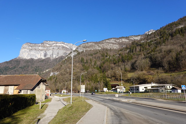
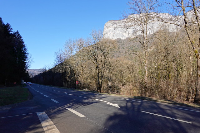
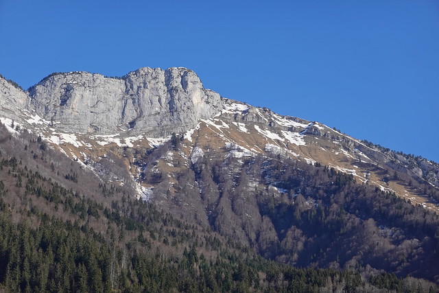
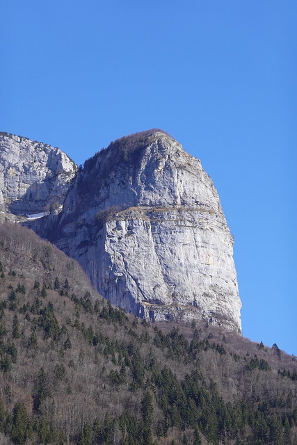
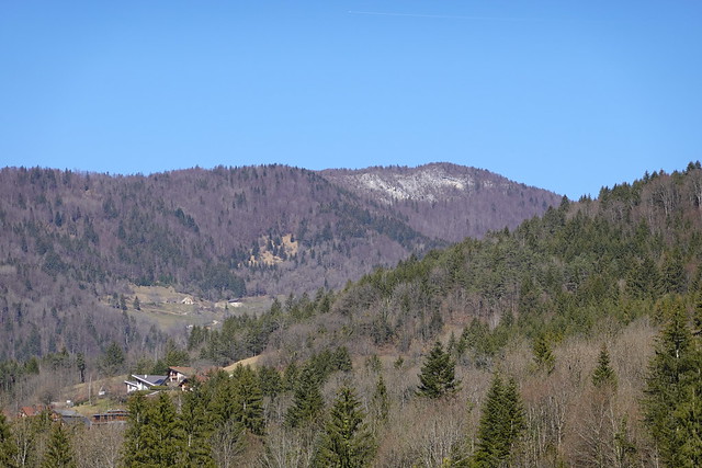
▲ At the Morette bus stop, looking towards Tête à Turpin.
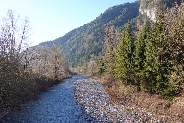
▲ Crossing the Fier river on Pont de Morette.
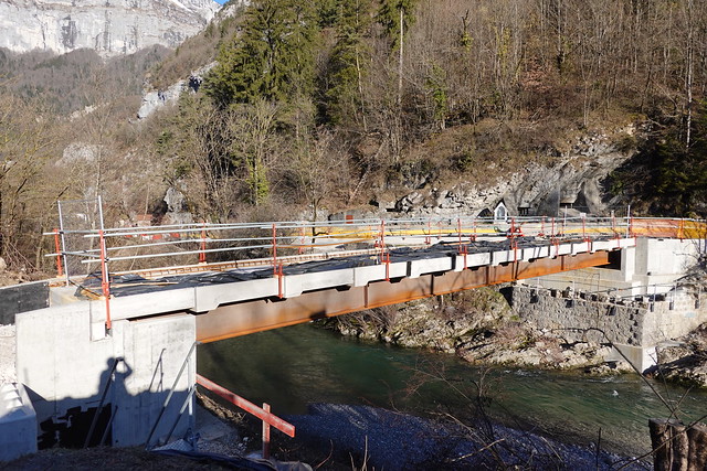
▲ A new pedestrian bridge across the Fier was in the middle of construction. It links a car park on the right bank to the National Cemetery of the Glières. It also makes it possible to cross the Fier from the bus stop without having to walk on the side of the road on Pont de Morette.
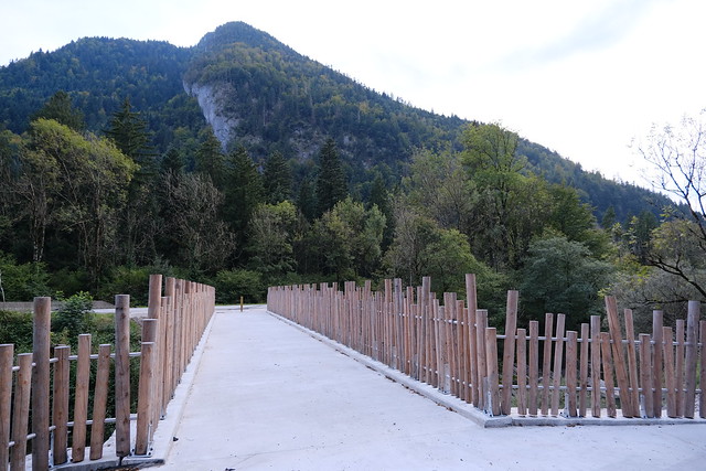
▲ The bridge after construction (from the right side of the Fier).
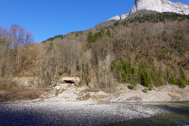
▲ Structure for when the Fier overflows. There is now a path trough there from the pedestrian bridge I showed above.
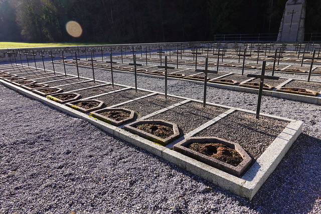
▲ Nécropole Nationale des Glières.
▲ Walking on the side of the road.
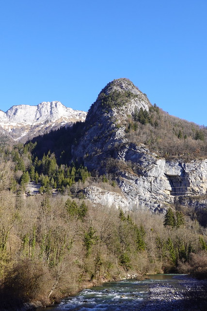
▲ Arpettaz de Thuy.
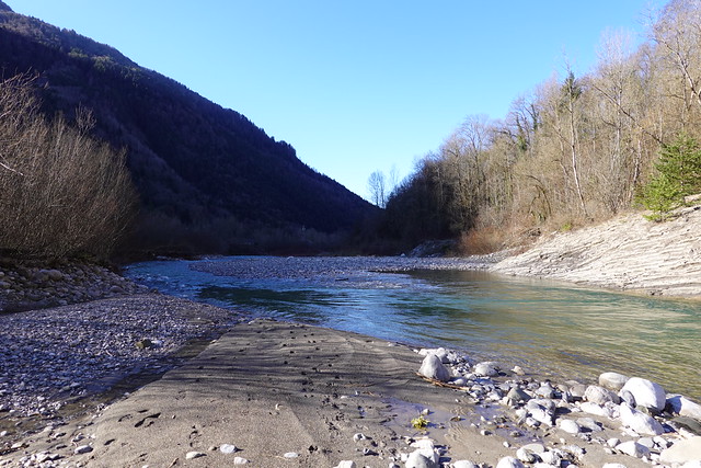
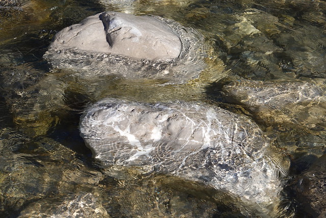
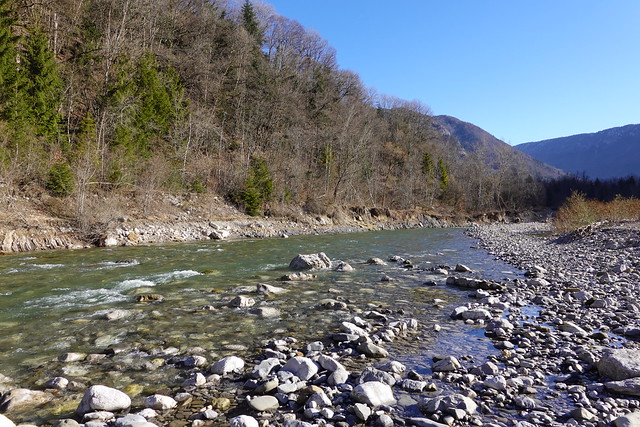
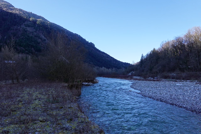
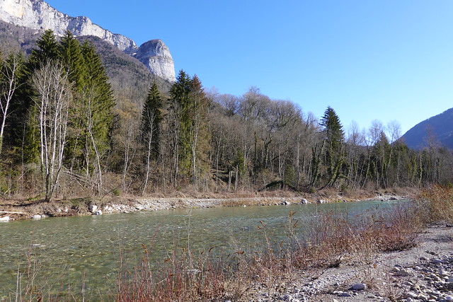
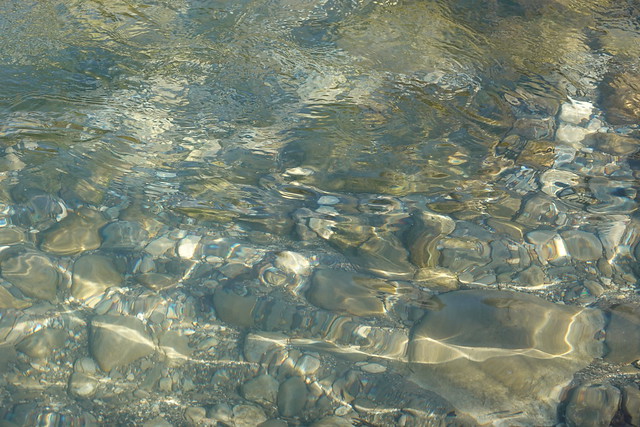
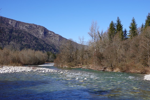
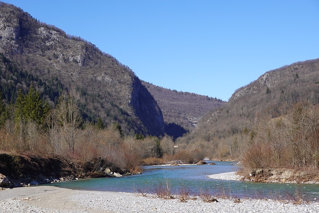
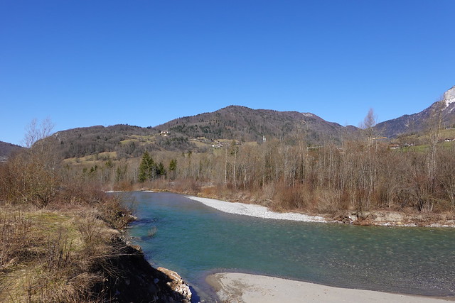
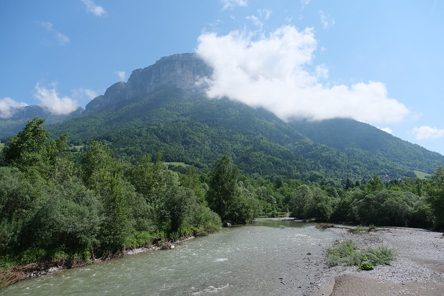
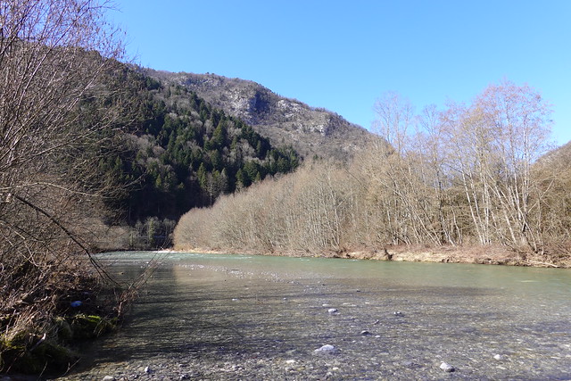
▲ Fier.
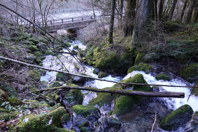
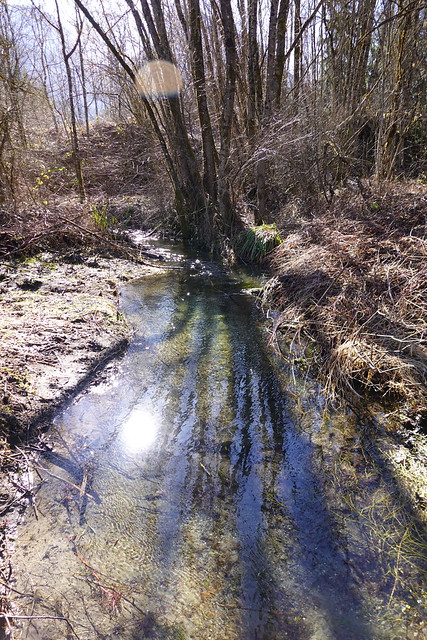
▲ Nant du Cruet, on the path to Cascade de la Belle Inconnue, a waterfall. However the trail was quite muddy, steep and slippery (actually, I later found out I was on the wrong trail and on the wrong side of the stream…). So this is as far as I went.
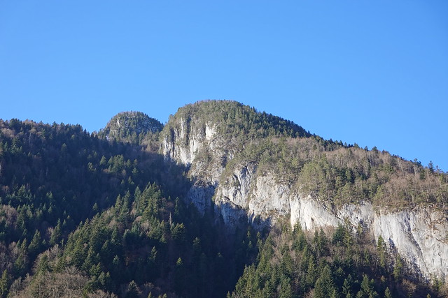
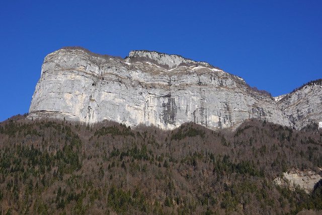
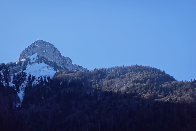
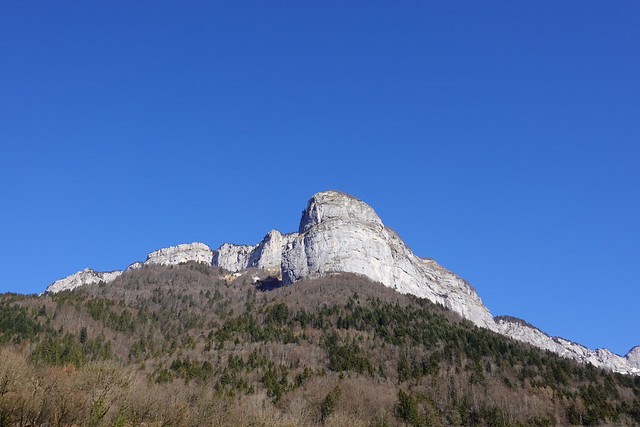
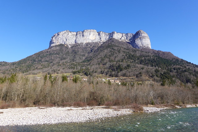
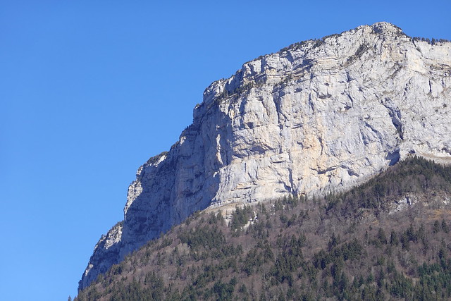
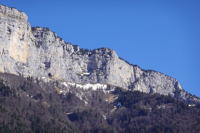
▲ Tête à Turpin.
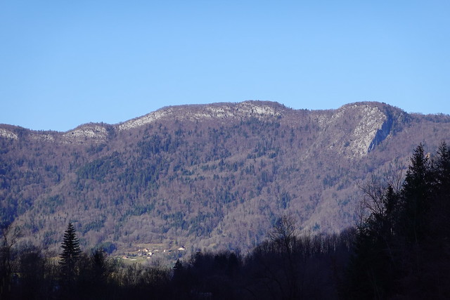
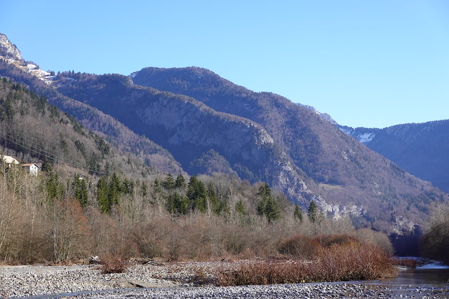
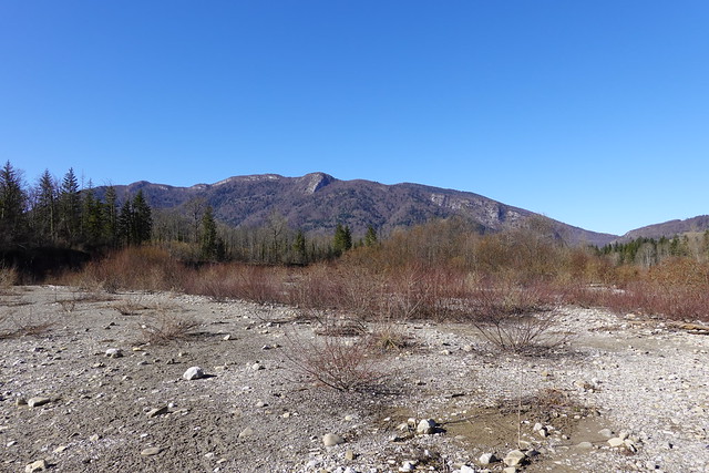
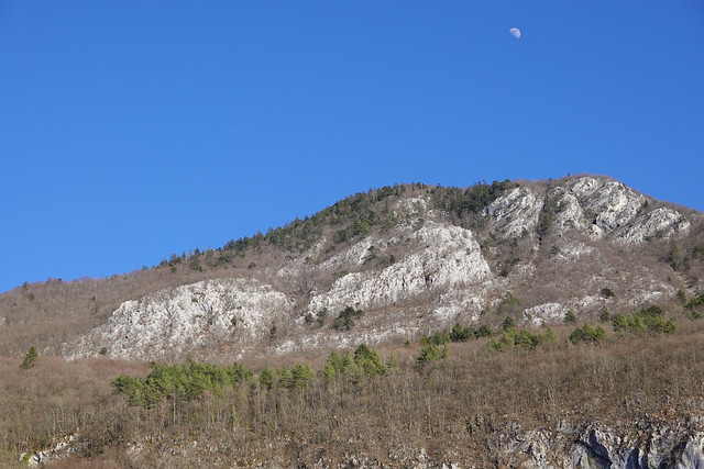
▲ Mont Baret.
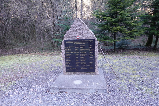
▲ Memorial stone on the side of the road.
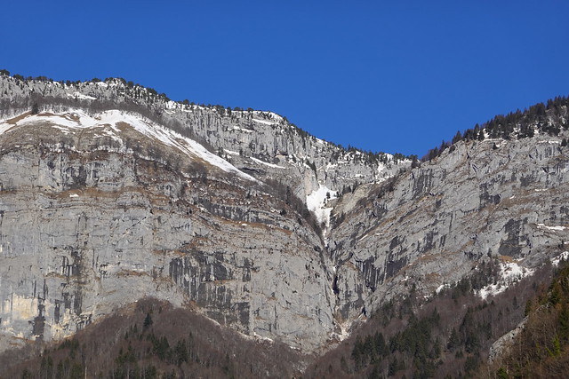
▲ Tête de l’Arpettaz.
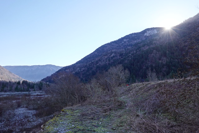
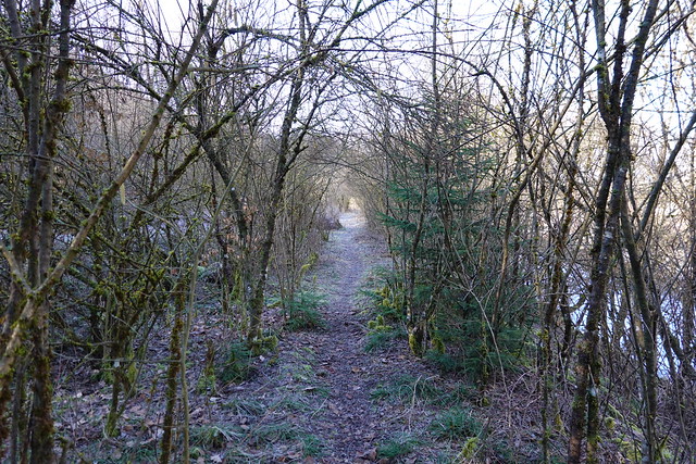
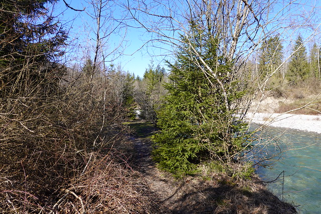
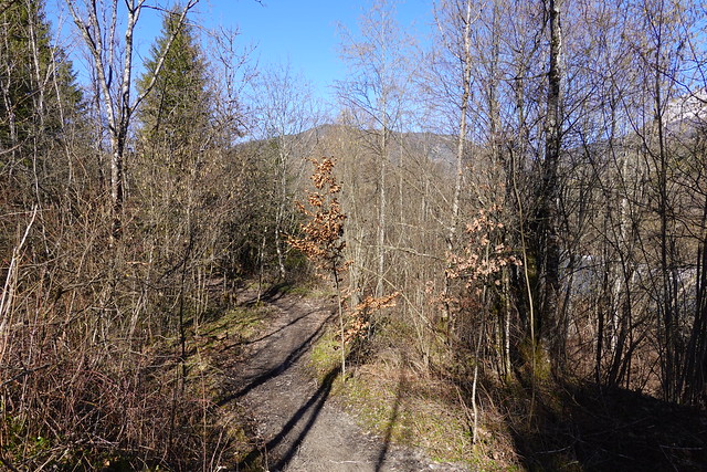
▲ On a trail along the Fier.
▲ Fier.
▲ New pedestrian bridge on the right bank of the Fier.
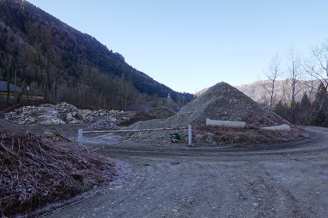
▲ Quarry. I went on this walk on a Sunday so there was no one working. But possibly there are trucks the rest of the time.
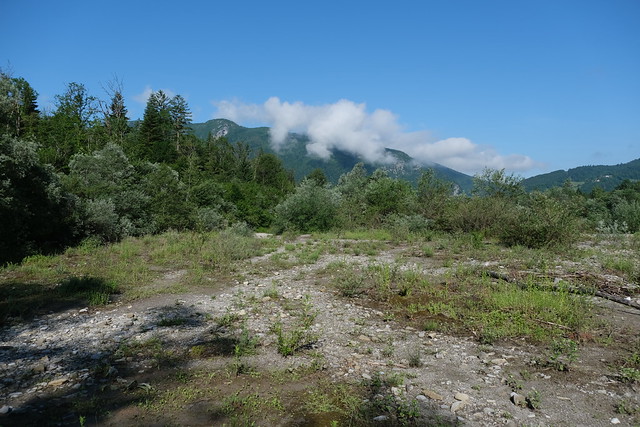
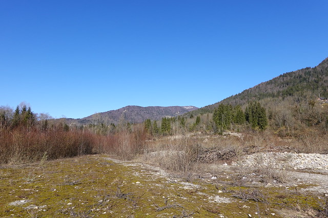
▲ Now in the area officially known as Plaine du Fier.
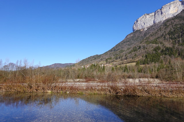
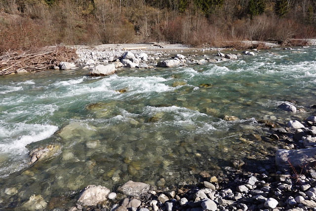
▲ Fier.
▲ Mont Téret.
▲ Summit of Mont Téret.
▲ Tête à Turpin.
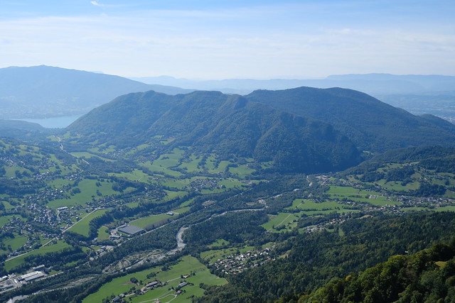
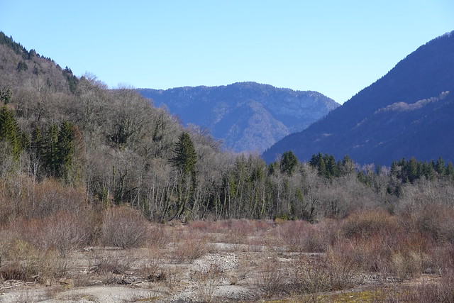
▲ Plaine du Fier seen from Tête à Turpin, with Mont Baret and Mont Veyrier in the background.
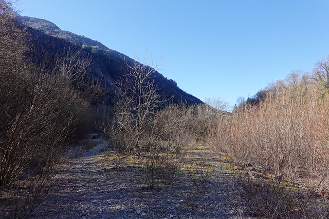
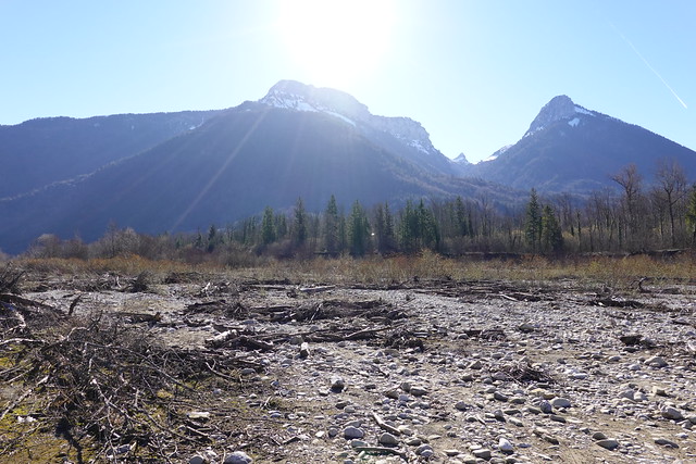
▲ I walked off-trail in an area that can be flooded when the water of the river is high.
▲ The same area in spring.
▲ Dent du Cruet and Dents de Lanfon.
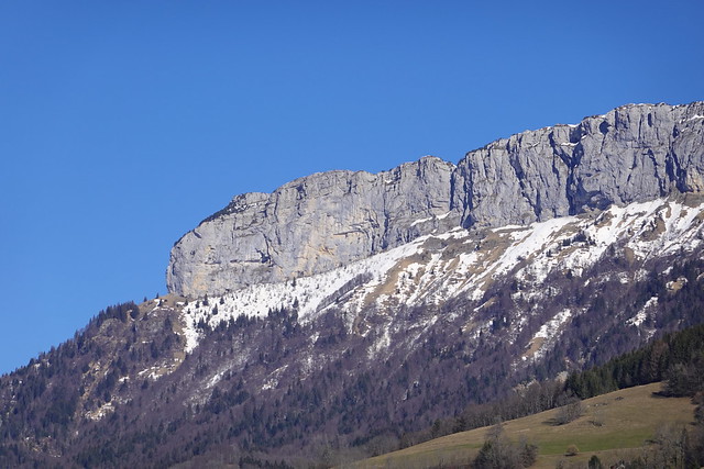
▲ Montagne de Lachat de Dingy-Saint-Clair.
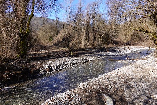
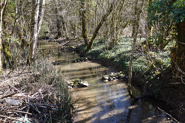
▲ A stream to ford. There was not a lot of water then, so I walked on some stones peaking above the surface in order to cross. The next time I was there (in spring), the water was very high and I had to get out of the forest and walk along the bike road to get past this stream.
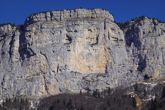
▲ Tassonnière cliff and Mont Téret.
▲ Another stream (Nant de Chantapot) to ford. This time, I got my feet wet.
▲ Downstream towards Annecy.
▲ Tête du Parmelan.
▲ Mont Téret.
▲ The same area in spring.
▲ Horserider.
▲ Fier. This is the westernmost point of Plaine du Fier on the left bank. Unfortunately the 2 sides of the river are not linked with a trail (you need to walk on the side of the road for a while then use a car bridge to cross the river).
▲ I crossed this small stream (however, the next time I was there, that path was blocked and I had to make a long detour to get past the river).
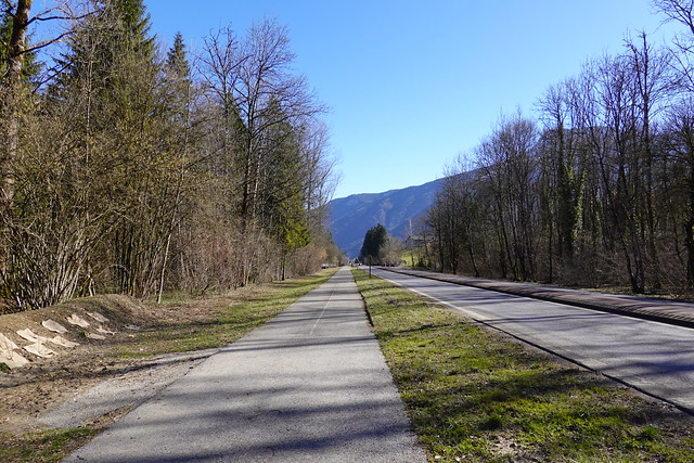
▲ Bike road.
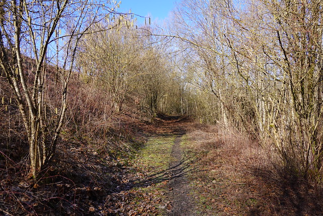
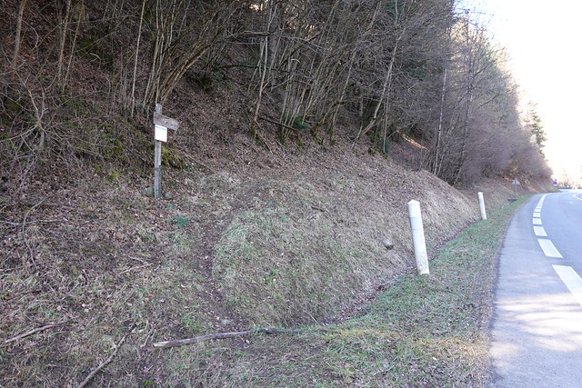
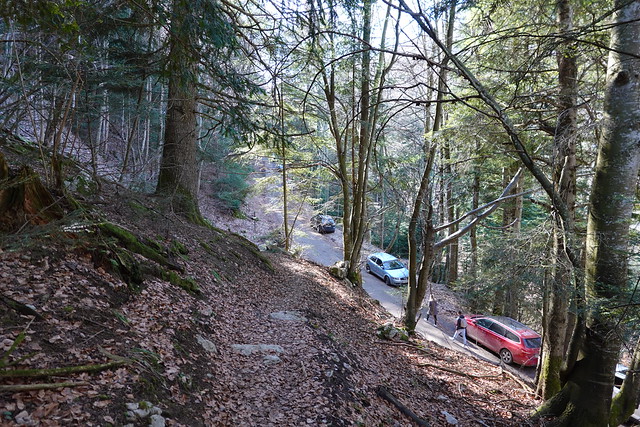
▲ Start of the path to Col des Contrebandiers.
▲ Here I joined with the trail that goes around Mont Baret from Col de Bluffy.
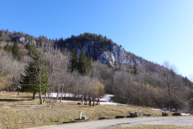
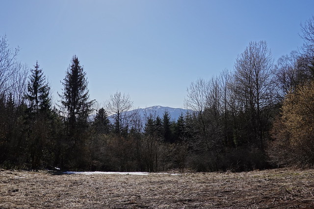
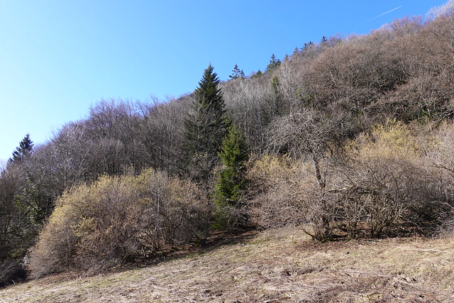
▲ At Col des Contrebandiers, looking towards Mont Baret.
▲ Semnoz on the other side of the Col.
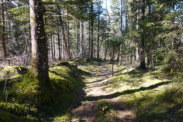
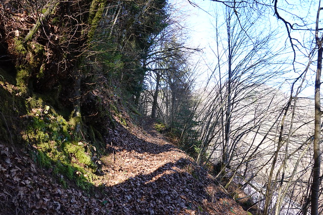
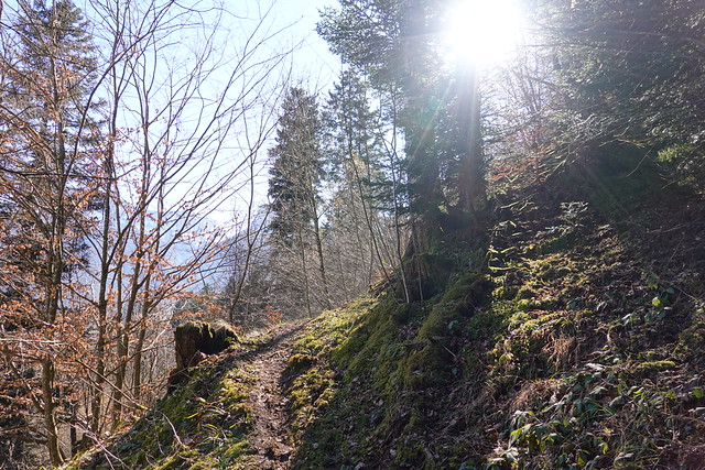
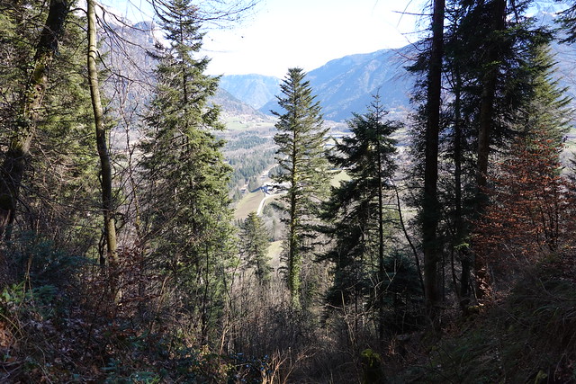
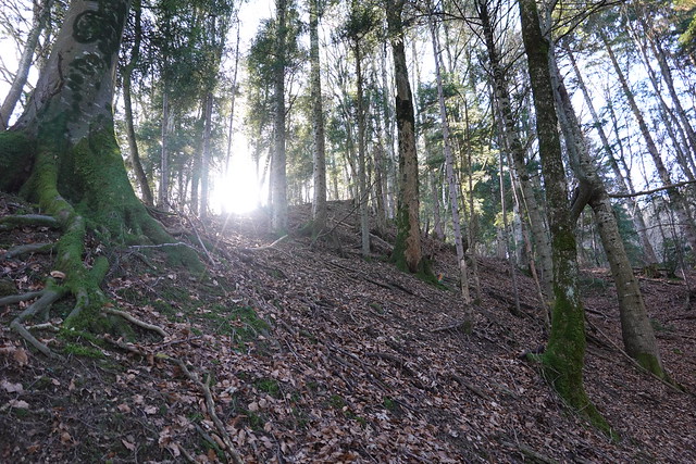
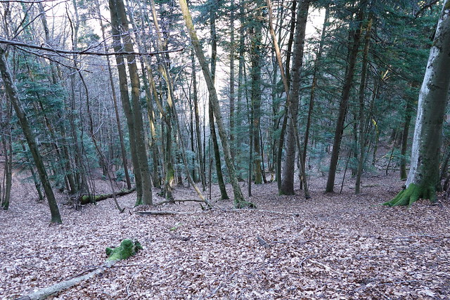
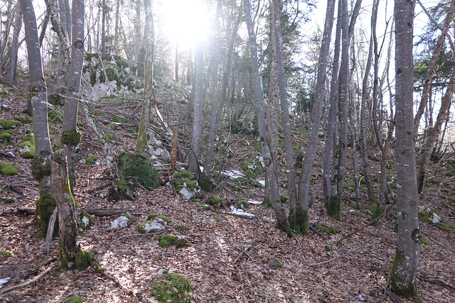
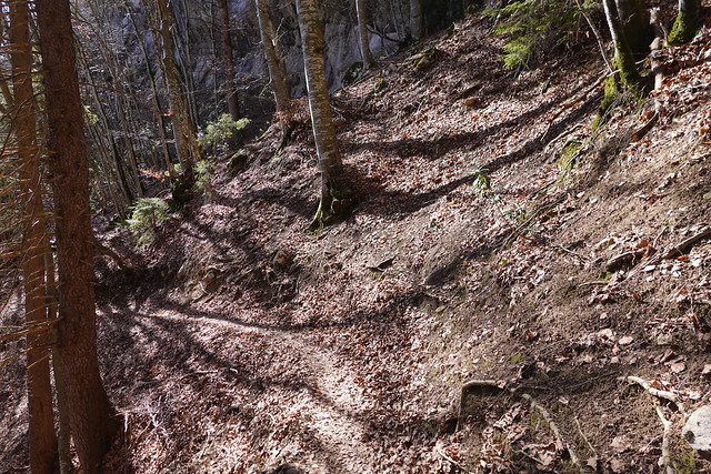
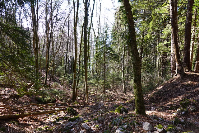
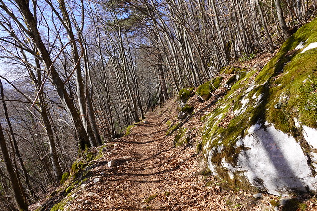
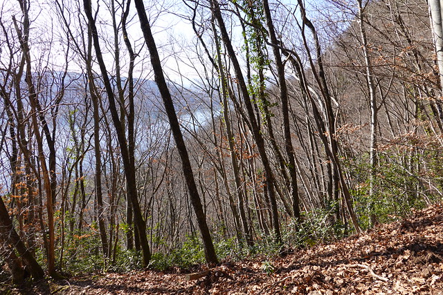
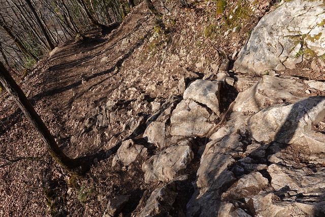
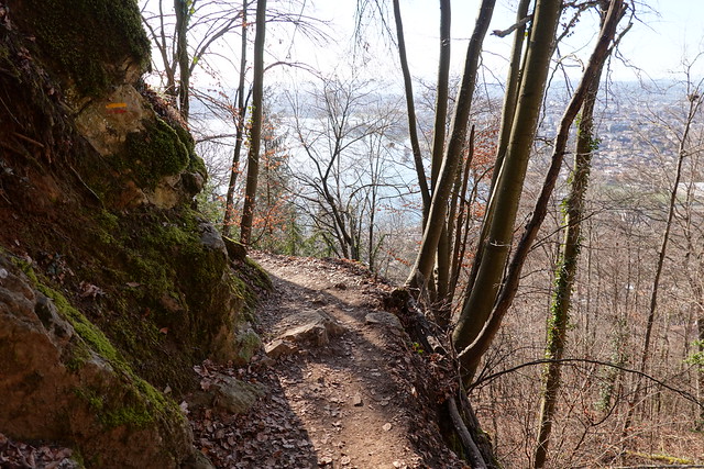
▲ On the way down.
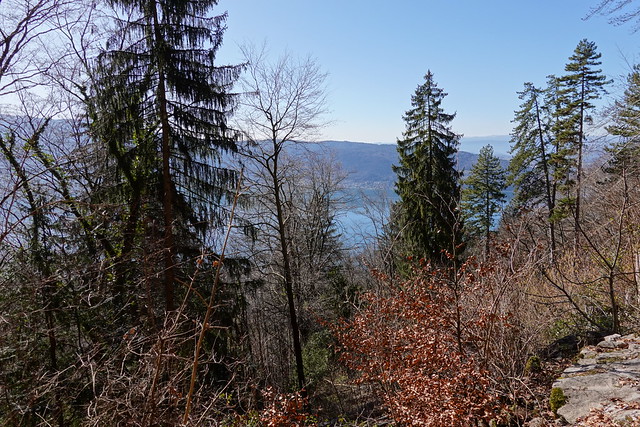
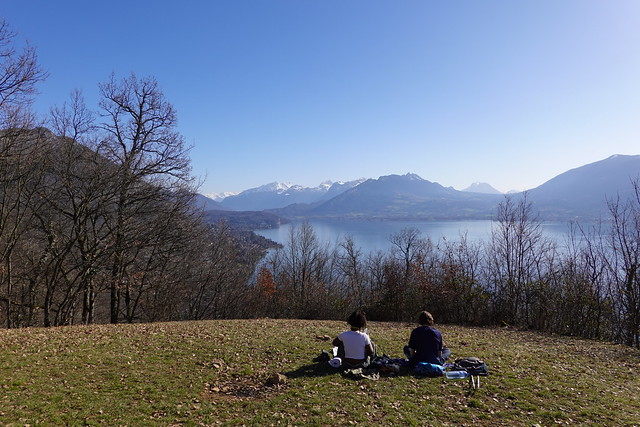
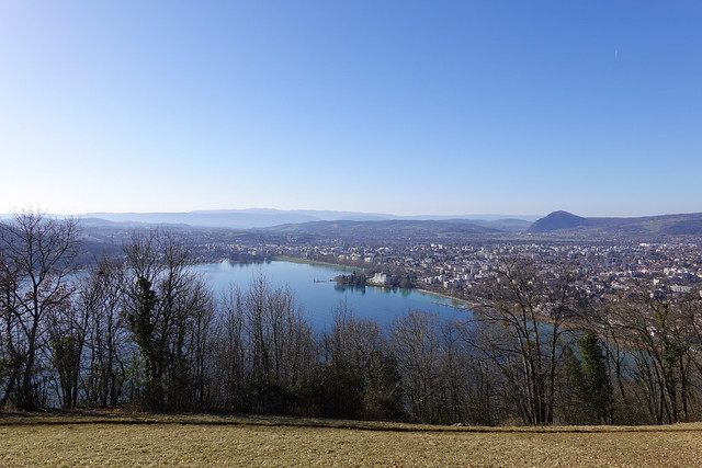
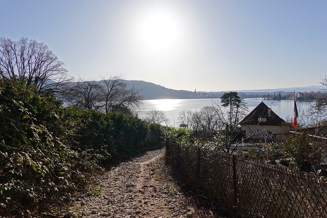
▲ Lake Annecy.
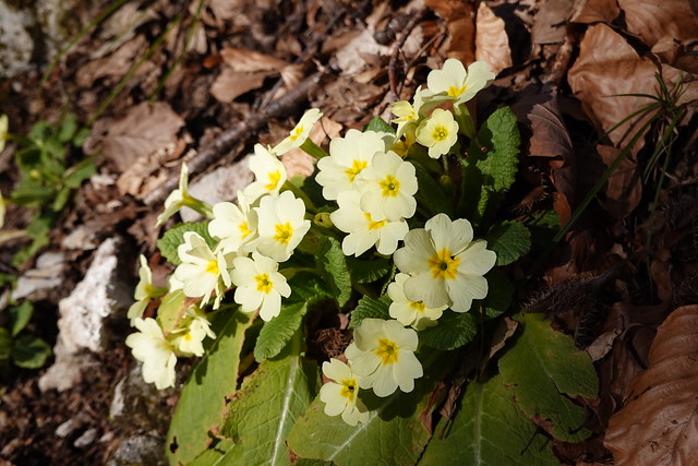
▲ Primrose.
▲ At Talabar.
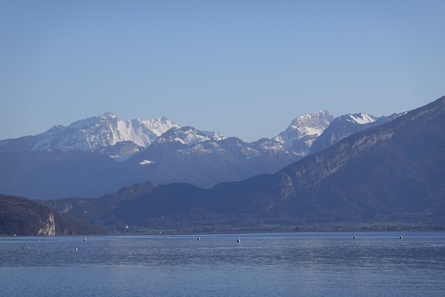
▲ Pointe de la Sambuy.
▲ Pointe des Cheneviers and Dent du Corbeau.
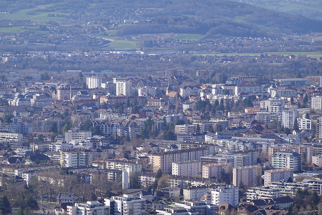
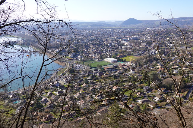
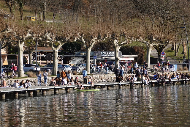
▲ Annecy.
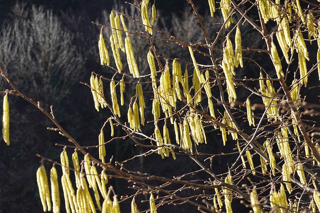
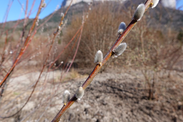
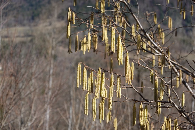
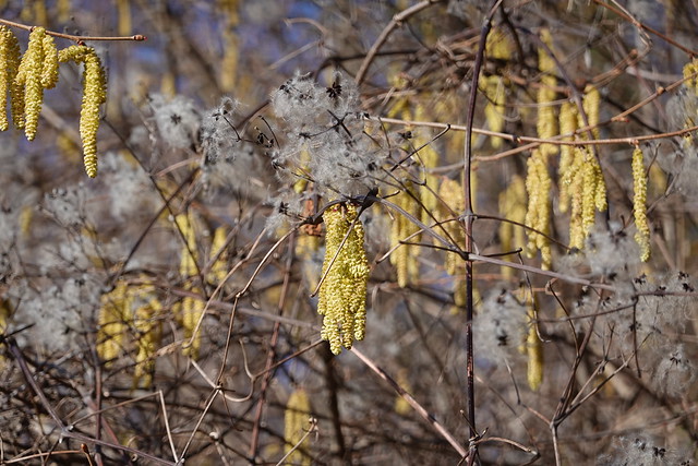
▲ Catkin and clematis.
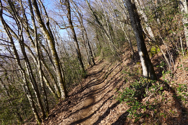
▲ On the main trail down to the lake.
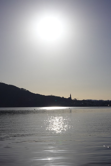
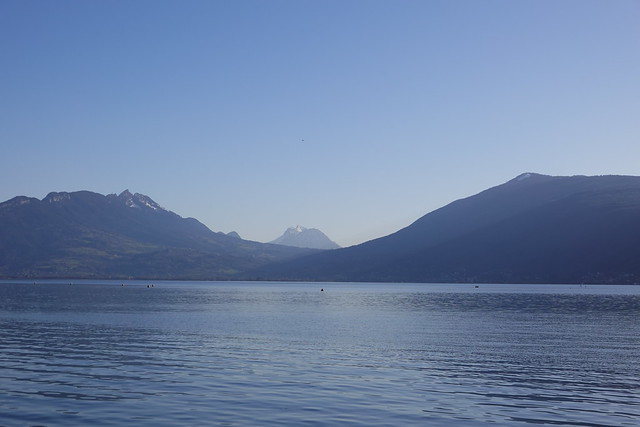
▲ At Lake Annecy.
▲ Col de Leschaux.
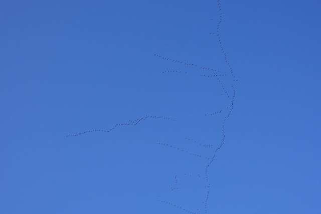
▲ Large number of birds.

