Walk in Sources du Lac d'Annecy
Last winter, I went on a walk in the area south of Lake Annecy, in the group of towns ("Communauté de Communes") known as Sources du Lac d’Annecy, where the main rivers flowing into the lake (Ire and Eau Morte) originate.
Here is a map of the path I walked (download KML):
In the morning, I boarded a LIHSA bus from Annecy to Doussard. I then took a path through Verthier, Faverges (Le Villard) and Giez known as La Boucle du Facteur (Postman’s Loop), although I learnt about such a trail only later: I merely followed the purple path on the IGN Top25 map. After the Marais de Giez, I went up to an area on La Serraz mountain cleared for the power transmission towers, which offered a good view both towards Faverges and Lake Annecy. I then went down towards Lathuile. I visited the Eglise Saint-Ours, the church where Saint François de Sales was ordained as priest. After that, I headed to the Réserve Naturelle du Bout du Lac d’Annecy, where I had been a few times before. The view from there delivered, just as always. Finally, I walked past the beach in Doussard in order to reach the bus stop to get back to Annecy,.
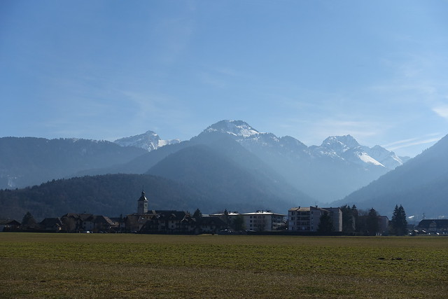
Above, in Doussard.
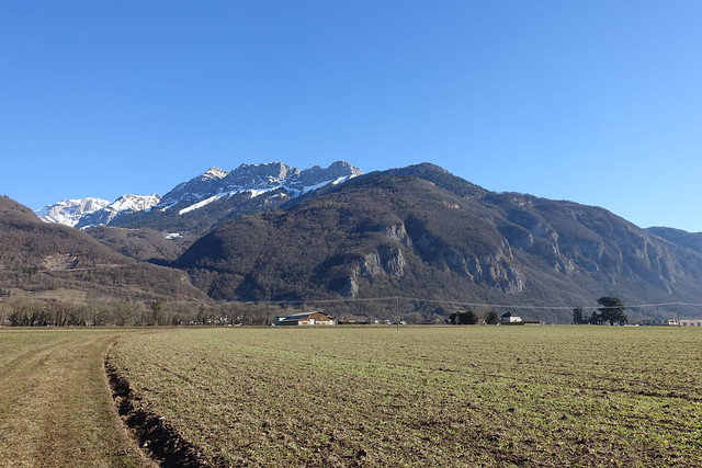
Above, Montagne d’Entrevernes.
Abvoe, newly built bicycle road.
Above, Montagne du Charbon.
Above, river Eau Morte from the bridge in Verthier.
Above, chapel in Verthier.
Above, bunnies.
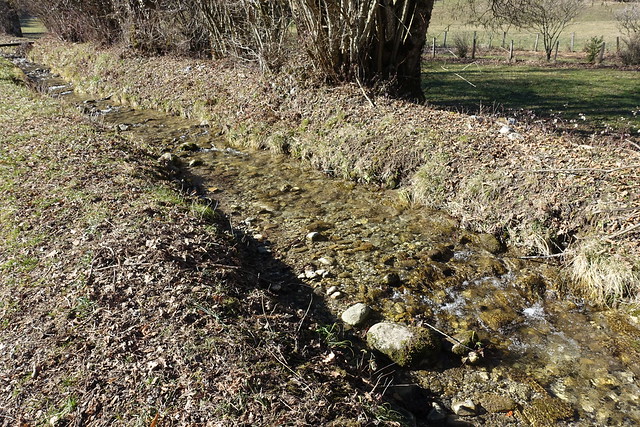
Above, on a trail along the river Eau Morte.
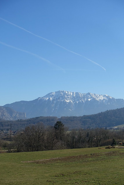
Above, Mont Bogon.
Above, Montagne du Charbon.
Above, Pointe de Vélan.
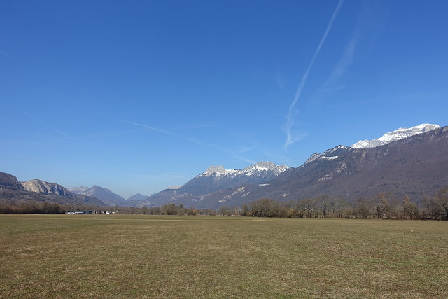
Above, Dent de Cons.
Above, Eau Morte.
Above, Giez.
Above, Oratoire in Giez.
Above, towards La Tournette.
Above, in Marais de Giez.
Above, in La Serraz.
Above, Dents de Lanfon.
Above, Taillefer.
Above, Lake Annecy.
Above, aggressive dog,
Above, river Ire, which ultimately flows into Lake Annecy.
Above, Montagne du Charbon.
Above, Roc des Boeufs.
Above, Dent de Cons.
Above, Ruisseau de Bornette.
Above, hazel tree catkin.
Above, on the road to Lathuile.
Above, City Hall in Lathuile.
Above, Eglise Saint-Ours.
Above, La Tournette.
Above, Pointe de Vélan.
Above, river Ire.
Above, entrance of Réserve Naturelle du Bout du Lac.
Above, stone quarry on the Taillefer.
Above, Dents de Lanfon and Lanfonnet.
Above, Tour de Beauvivier.
Above, Lake Annecy seen from the tower.
Above, river Eau Morte.
Above, suspension bridge on the river Ire.
Above, Plage de Doussard.
Above, boat jetty in Doussard, near the bus stop.


