Walk from Rumilly to Albens
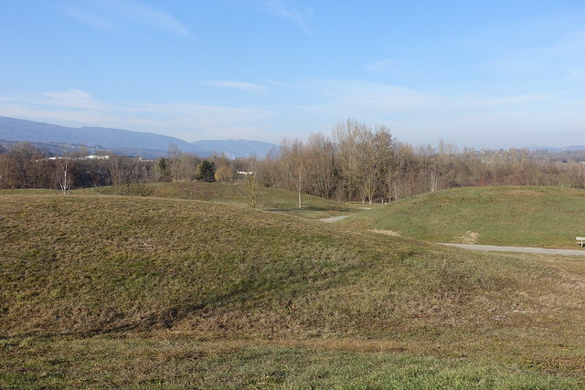
Last winter, I walked from Rumilly to Albens, in the Pays de l’Albanais (the territory between Annecy and Aix-les-Bains). I passed by the Base de Loisirs du Plan d’Eau, the Etang de Crosagny and the river Deysse.
Here is a map of the path I walked (download KML):
I took the train from Annecy to Rumilly in late morning. Once in Rumilly, I headed towards the Base de Loisirs du Plan d’Eau and its lakes. I then walked along a road for a while, until I reached the Etang de Crosagny: It is a nature reserve with trails surrounding a small lake. Finally, I walked along the river Deysse to reach Albens. I took the train back to Annecy from there.
Above, sculpture in front of the Annecy train station.
Above, in Rumilly.
Above, Place d’Armes near the train station.
Above, tunnel to cross the train tracks.
Above, water tower.
Above, Chapelle Notre-Dame de l’Aumône.
Above, frozen puddle. It was quite cold.
Above, Le Dadon.
Above, Semnoz.
Above, fishing lake at Base de Loisirs du Plan d’Eau.
Above, newly built Passerelle des Iles, across the river Chéran.
Above, Chéran.
Above, beach at the Grand Plan d’Eau lake.
Above, it was partly frozen.
Above, Semnoz reflection.
Above, fisherman.
Above, newly built Collège du Chéran.
Above, in Zone Industrielle des Grives.
Above, field. I left the road for a bit because I thought there was a more direct path on the way to the Etang de Crosagny. It was actually a dead end (the trail was blocked by a private property). So I had to double back and keep on the road.
Above, back on the road.
Above, in Bloye.
Above, in the nature reserve around Etang de Crosagny.
Above, Etang de Crosagny seen from the observation hut.
Above, another observation point.
Above, Moulin de Crosagny, a watermill below the Etang.
Above, river Deysse.
Above, oil tanks at the Dépôt Pétrolier d’Albens.
Above, road to Albens.
Above, moon and Semnoz in the background.
Above, at the Albens train station.


