Hike to Le Brévent, Lac du Brévent & Aiguillette des Houches
Last summer, I went on a hike to Le Brévent, Lac du Brévent and Aiguillette des Houches, above Chamonix.
Here is a map of the path I walked (download KML):
In the morning, I took the train from Annecy to Chamonix, switching at Saint-Gervais. I took the cable car from the valley to Planpraz then walked to the summit of Le Brévent. There were still parts of the trail with a lot of snow. The view at the top was great. I ate lunch and made my way down to Lac du Brévent, then up again to Aiguillette des Houches. Finally, I went down to Les Houches in the valley. To get back to Annecy, I first took a train to Chamonix then boarded a OuiBus.
Above, Mont Blanc Express at Gare de Saint-Gervais-les-Bains-le-Fayet.
Above, in Chamonix.
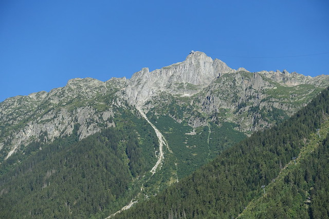
Above, le Brévent.
Above, Arve river.
Above, Eglise Saint-Michel on the way to the cable car station.
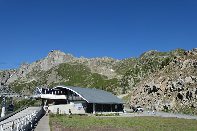
Above, station of Télécabine de Planpraz in the valley.
Above, in Planpraz. From there, I walked to Le Brévent instead of taking the Téléphérique du Brévent.
Above, le Brévent seen from Planpraz.
Above, Mont Blanc on the other side of the valley.
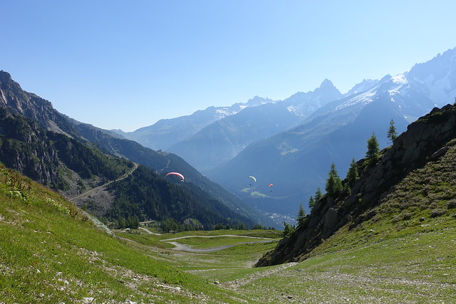
Above, paragliders taking off.
Above, trail to Lacs Noirs and other lakes.
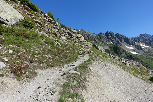
Above, trail to le Brévent.
Above, Planpraz.
Above, Aiguille Verte.
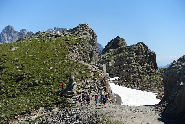
Above, Col du Brévent.
Above, Rochers des Fiz in the Giffre mountains.
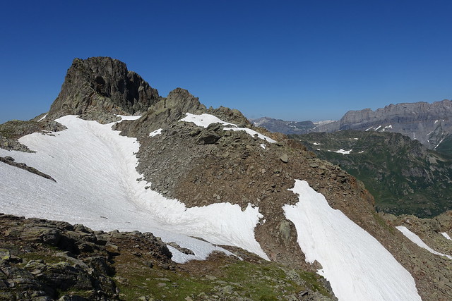
Above, still a lot of snow left.
Above, Pointe Percée.
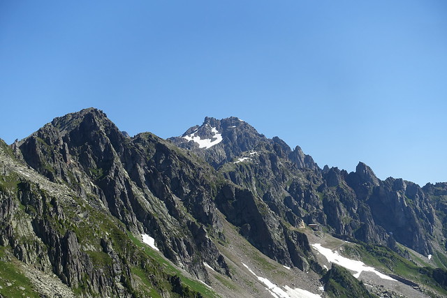
Above, Pointe de Pormenaz.
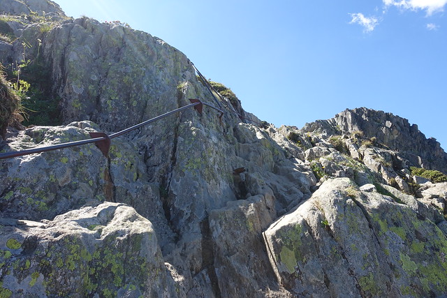
Above, a couple of ladders.
Above, Lac du Brévent and Aiguillette des Houches.
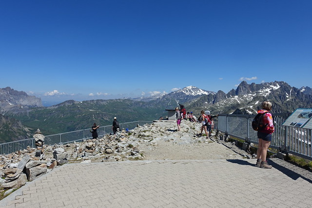
Above, viewing platform at the summit of le Brévent.
Above, cable car station.
Above, Chamonix and Mont Blanc seen from the summit of Brévent.
Above, Glacier des Bossons.
Above, Aravis.
Above, summit of Mont Blanc.
Above, at the summit.
Above, Planpraz and Aiguille Verte.
Above, Aiguilles Rouges mountains.
Above, Mont Buet.
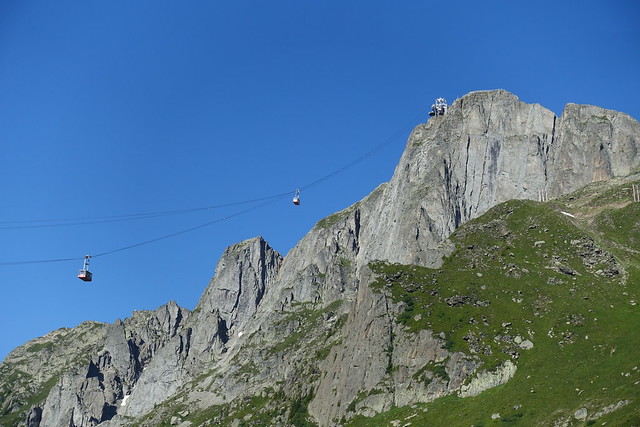
Above, cable car.
Above, towards Beaufortain.
Above, on the way to Lac du Brévent.
Above, the lake.
Above, Aiguillette du Brévent and Aiguillette des Houches.
Above, Tête du Colonney and Pointe de Platé.
Above, leaving the main path to get to Lac du Brévent.
Above, at Lac du Brévent.
Above, water leaving the lake.
Above, Le Brévent.
Above, on the way to Aiguillette des Houches.
Above, swamp in Réserve Naturelle de Carlaveyron.
Above, summit of Aiguillette des Houches
Above, looking at the other side.
Above, Mont Buet, Aiguilles Rouges and Le Brévent.
Above, towards Désert de Platé in the Giffre mountains.
Above, Pointe de Platé.
Above, Mont Blanc.
Above, Mont Joly in the Beaufortain mountains.
Above, path towards Aiguillette du Brévent.
Above, Tête du Colonney and Aiguille de Varan.
Above, Vallée de l’Arve.
Above, Passage du Dérochoir, to reach Désert de Platé from Passy-Plaine-Joux.
Above, Pointe de Pormenaz.
Above, Aiguille du Midi.
Above, Glacier de Taconnaz.
Above, on the way down to the valley.
Above, the path during that part was really bad.
Above, back on the main path.
Above, Jonction des Glaciers.
Above, herd of sheep on the trail.
Above, Chalets de Chailloux.
Above, in the forest.
Above, Statue du Christ Roi. At 25m, it is the second largest statue in France.
Above, Les Houches seen from the foot of the statue.
Above, train tracks in Les Houches.
Above, Arve.
Above, waiting for the train in Les Houches.
Above, sunset on Glacier des Bossons, while waiting for the bus back to Annecy in Chamonix.


