Hike to Pointe de Talamarche & Lanfonnet (Summer 2018): From Thônes to Talloires
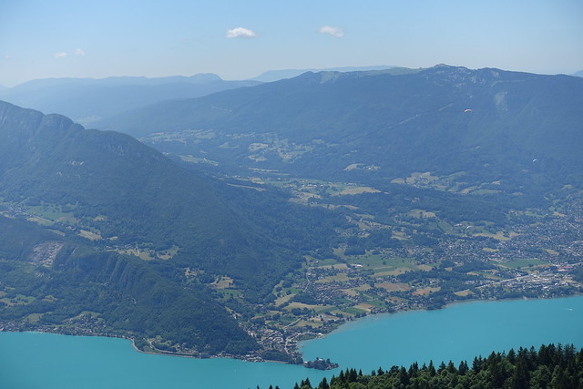
A couple of months ago, I went on a hike to Pointe de Talamarche and Lanfonnet in the Bornes mountains, starting from Thônes and ending in Talloires, near Lake Annecy.
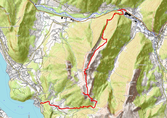
Here is the path that I followed (download KML):
I had already been to those mountains a few years ago, but starting in Talloires and passing through Col des Frêtes, both on the way up and down. This time, I went up the mountain starting from Thônes and went down through Col des Nantets on the way to Talloires.
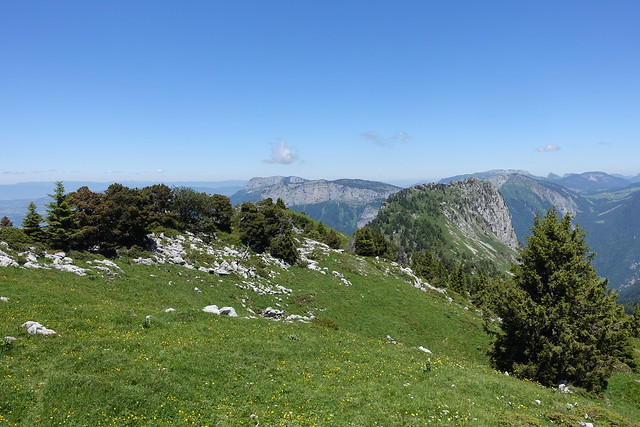
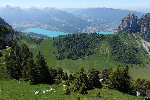
In the morning, I took a LIHSA bus from Annecy to Thônes - Pont de Morette. I first made a detour to the National Cemetery of the Glières nearby, which houses the tombs of 105 resistance fighters. I was soon on my way up towards Pointe de Talamarche, on a pretty straightforward trail. There was a great view from the summit, especially on the Bornes mountains, including Les Dents de Lanfon and La Tournette. I ate lunch then went down towards the pasture of Aulp Riant Dessus and Pas de l’Aulp, a pass on the south side of the pasture. Then I went up again to Roche Murraz, one of the summits of Lanfonnet. There was also a great view from there, especially on Lake Annecy. I went down and made a quick detour to Roc Lancrenaz on the other side of the pass. Finally, I started on the final descent to Talloires through Col des Nantets. I reached Vérel after a while and, in the end, I had to rush a little bit to make sure I could catch the last LIHSA bus from Talloires back to Annecy.
Above, bus stop in Thônes.
Above, tombs at the Nécropole Nationale des Glières.
Above, Fier river near the trailhead.
Above, towards Plateau des Glières.
Above, Tête à Turpin.
Above, Tête de l’Arpettaz.
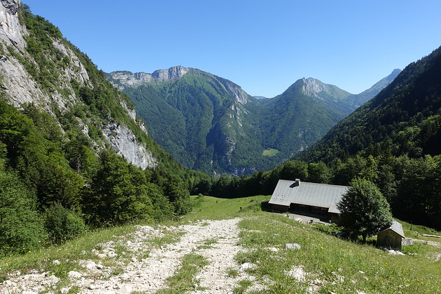
Above, Chalet du Cruet.
Above, Chalet Le Lindion.
Above, I took an alternate trail towards Pointe de Talamarche: It forks a little bit above the Chalet and merges back into the main trail some time later.
Above, Dent du Cruet.
Above, Parmelan-Tassonnière.
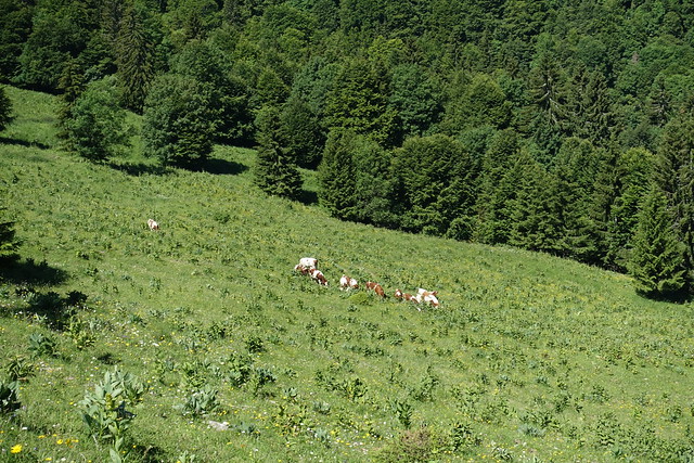
Above, cows.
Above, Plateau des Glières.
Above, Pointe de la Québlette.
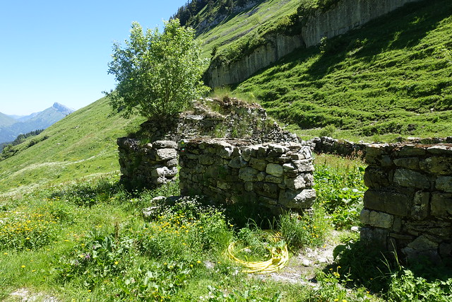
Above, ruins of a chalet.
Above, Dent du Cruet.
Above, at Crêt des Tervelles, looking at La Tournette.
Above, Montagne de Cotagne.
Above, Aravis.
Above, Mont Lachat de Thônes.
Above, at the summit of Pointe de Talamarche.
Above, Col des Frêtes and Lake Annecy.
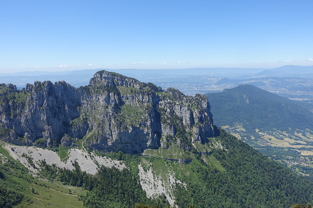
Above, Dents de Lanfon.
Above, Alpage de l’Aulp Riant Dessus and La Tournette.
Above, Pointe de la Sambuy.
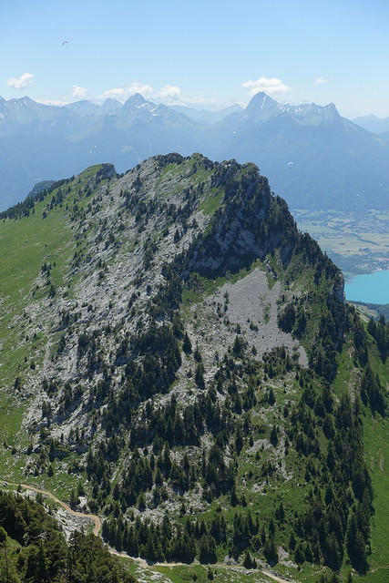
Above, Lanfonnet.
Above, Col de Leschaux.
Above, Roc des Boeufs.
Above, Col des Aravis and Mont Blanc.
Above, looking towards La Clusaz.
Above, on the way to Lanfonnet.
Above, Pas de l’Aulp.
Above, looking back at Pointe de Talamarche.
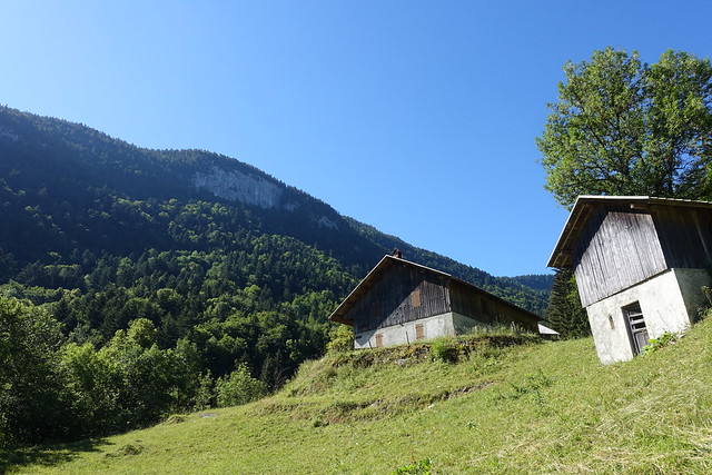
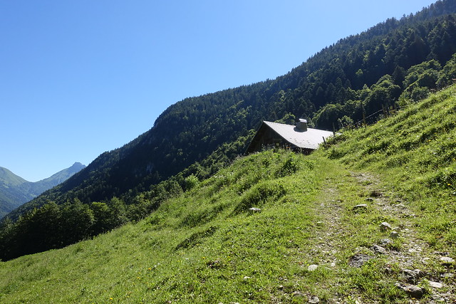
Above, Chalet de l’Aulp Riant Dessus.
Above, wall at Pas de l’Aulp. The path to Roche Murraz goes along the wall.
Above, Chalet de l’Aulp, the starting point of the hike to La Tournette.
Above, summit of La Tournette.
Above, paragliders.
Above, view from the summit of Roche Murraz.
Above, Rocher du Roux.
Above, south side of Lake Annecy.
Above, Montagne du Charbon.
Above, Dents de Lanfon.
Above, Talloires.
Above, Montagne d’Entrevernes.
Above, looking back at Roche Murraz.
Above, view from Roc Lancrenaz on the other side of Pas de l’Aulp: Col des Nantets and La Tournette.
Above, Montmin and Bauges behind it.
Above, on the way down to Col des Nantets.
Above, goats at Chalet des Nantets.
Above, cross at Col des Nantets.
Above, Lake Annecy.
Above, dead sheep below Chalet des Crottes.
Above, path to Vérel.
Above, Rocher du Roux.
Above, Pierre des Pingolies in Vérel.
Above, Dents de Lanfon and Lanfonnet.
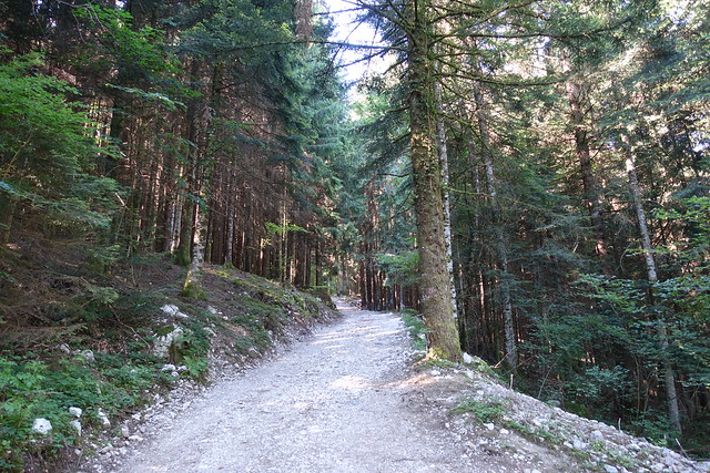
Above, path in the forest to Talloires.
Above, in Talloires, above the bus stop.

