Hike on Plateau du Semnoz
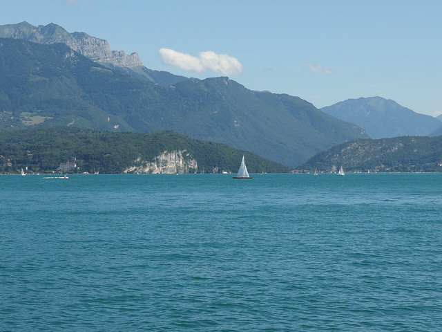
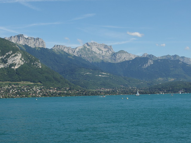
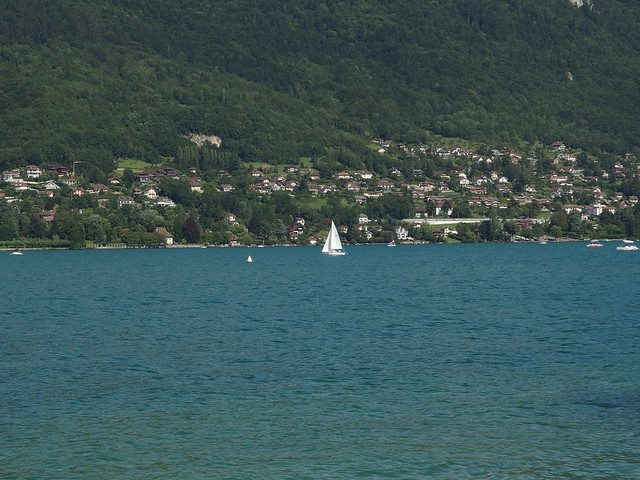
During the summer, I took my bike on the SIBRA summer shuttle to the top of the Semnoz. My goal was go down to Lake Annecy using the paved road (there are tracks for downhill mountain bikes as well): It is an almost uninterrupted downward slope until the lake with relatively little car traffic. Before going down, I spent some time on the plateau, which serves as cross country skiing tracks during winter. I also went to the summit (Crêt de Châtillon). There was a good view on the Mont Blanc from up there. Finally, I took the road to Leschaux, then went down the Route du Col de Leschaux until I reached the lake at Sévrier.
Here is a map of the path I walked while on the plateau (download KML):
Above, looking at Crêt de Chatillon from the terminus of the summer shuttle, in front of the Chalet Nordique du Plateau.
Above, Mont Blanc.
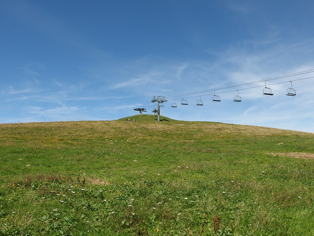
Above, the summer shuttle.
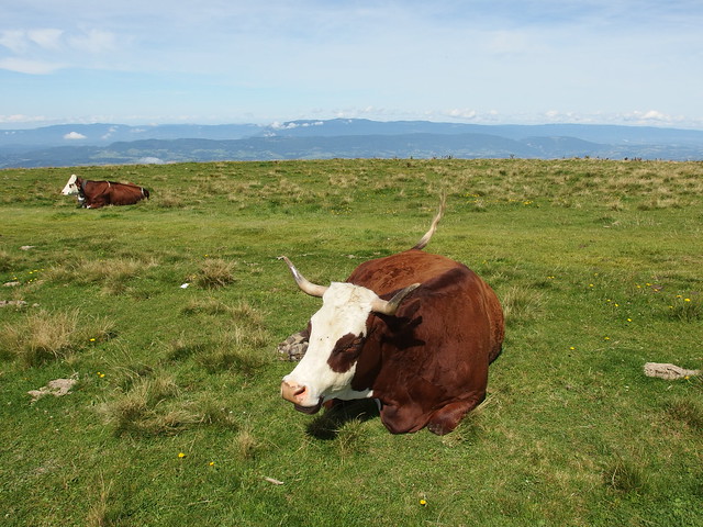
Above, the plateau.
Above, Albanais.
Above, Bauges Massif.
Above, La Tournette.
Above, looking towards Lac du Bourget.
Above, Crêt de l’Aigle.
Above, Dents de Lanfon.
Above, La Tournette.
Above, I came back to the Chalet Nordique du Plateau and started on the short path to the summit of the Semnoz, Crêt de Châtillon.
Above, cross at the summit.
Above, Montagne de la Mandallaz.

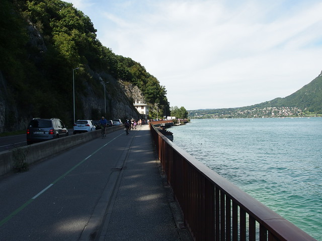
Above, on my bike, on the way down to the lake.
Above, Mont Trélod and Dents des Portes.
Above, Roc des Boeufs.
Above, Mont Colombier.
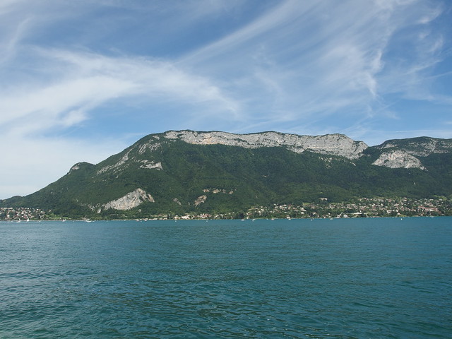
Above, Mont Veyrier.


