Kamakura Hiking Trails part 1: Gionyama Hiking Course
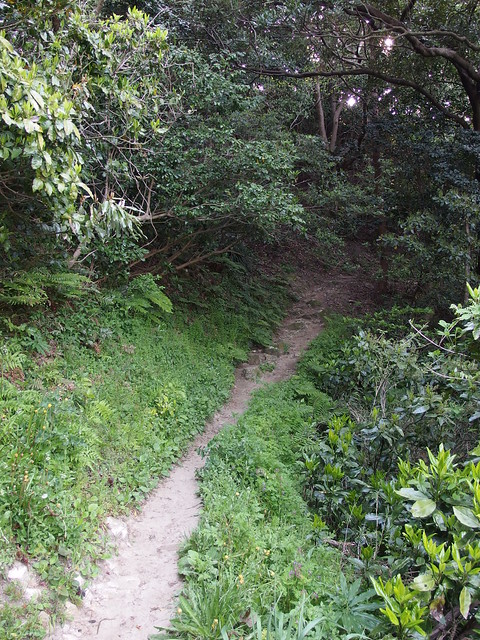
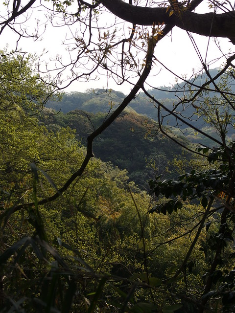
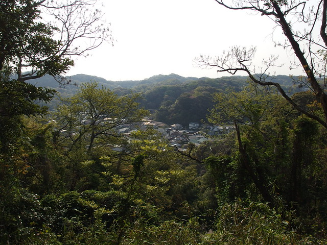
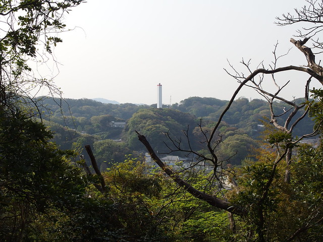
Kamakura is surrounded by the ocean in the south and by wooded hills in all other directions. Attractive hiking trails lead through the woods along these hills and connect Kamakura’s numerous temples and shrines. It is possible to walk them all in one go, starting and ending at train stations.
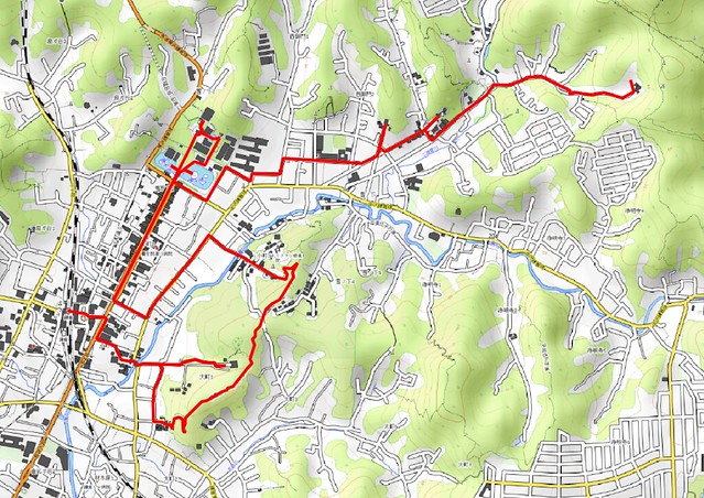
Here is a map of the full path I walked that day (download KML):
In red, the Gionyama Hiking Course, followed by a walk to Zuisen-ji, as described in this post. In green, the Tenen Hiking Course. In blue, the Daibutsu Hiking Course.
Here is a map of the Gionyama Hiking Course (the short trail east of the river: The rest is a walk through shrines and temples on the way to Zuisen-ji), starting from the Kamakura train station:
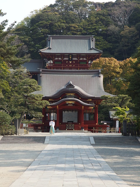
I started in the morning at the railway station and made my way to Myohon-ji Temple and the nearby Yakumo Shrine, where the Gionyama Hiking Course starts. The trail ends not very far from the Tsurugaoka Hachimangu Shrine, which I visited next. I then walked on the road until Zuisen-ji Temple, stopping on the way at Egara Tenjin Shrine and Kamakura-gu Shrine. I will make a specific post about those shrines and temples. The Tenen Hiking Course (which I already did in the other direction) starts next to Zuisen-ji. This will be for Part 2.
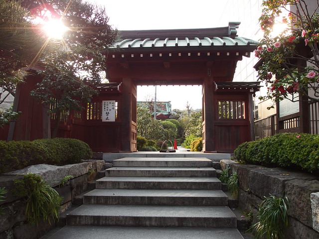
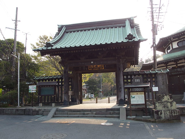
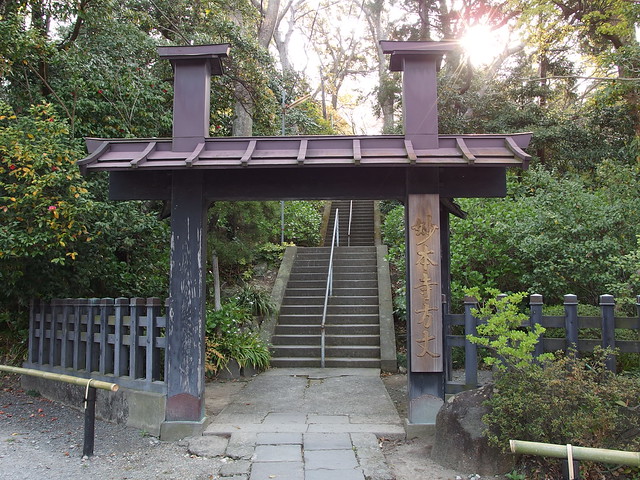
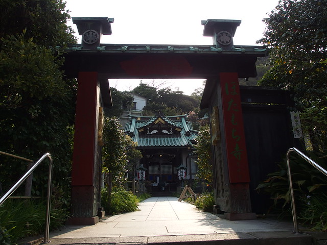
Above, gate to Myohon-ji Temple.
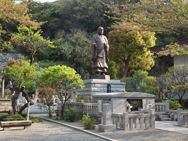
Above, statue of Nichiren.
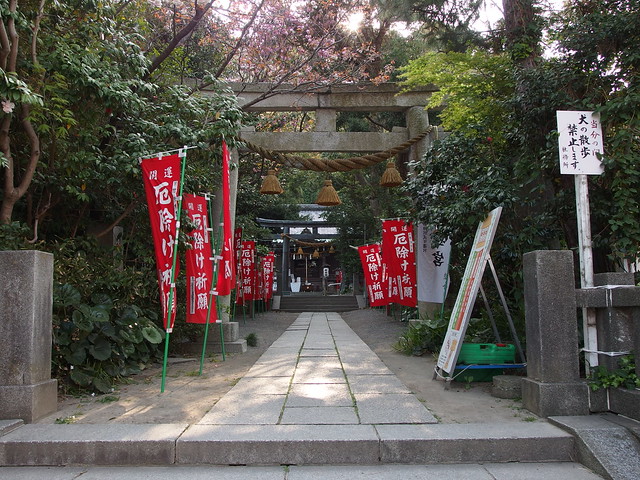
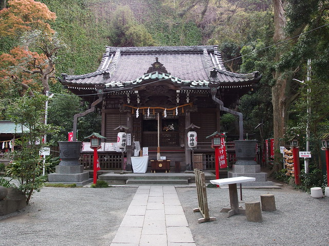
Above, Yakumo Shrine.
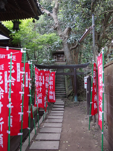
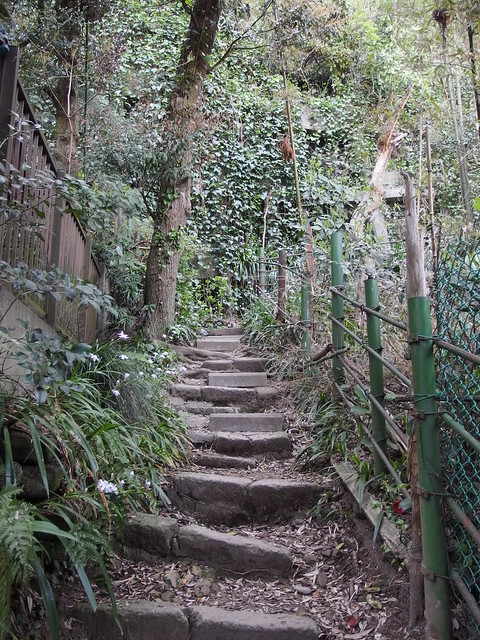
Above, the Gionyama Hiking Course starts on the right of the torii.
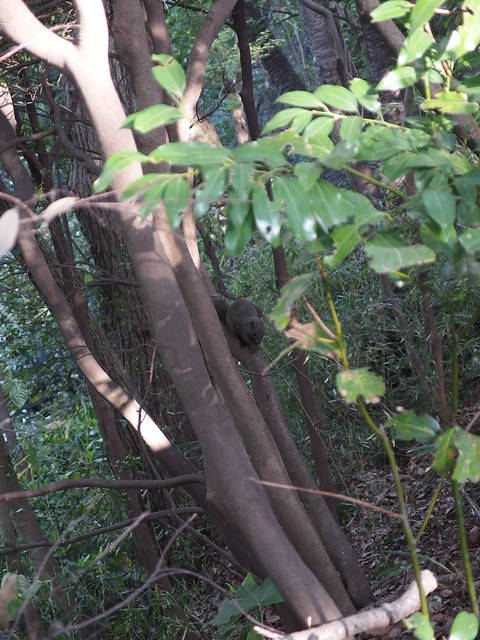
Above, squirrel.
Above, alley to Tsurugaoka Hachimangu Shrine, decorated with lanterns for the Kamakura Festival.
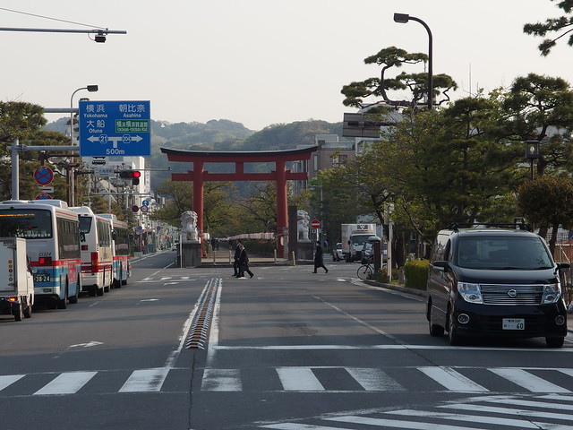
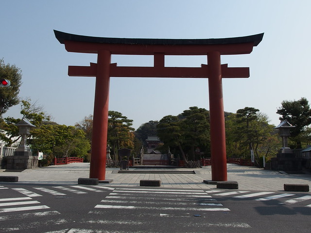
Above, torii of Tsurugaoka Hachimangu Shrine.
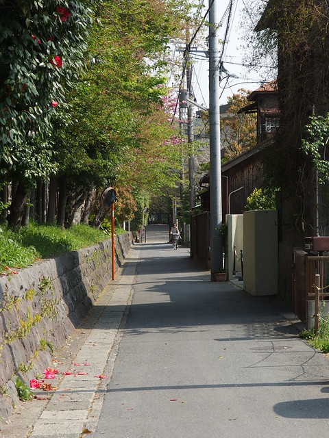
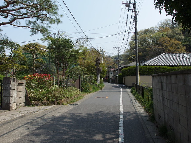
Above, on my way to Zuisen-ji Temple.
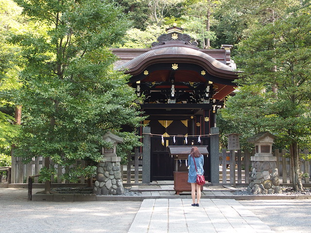
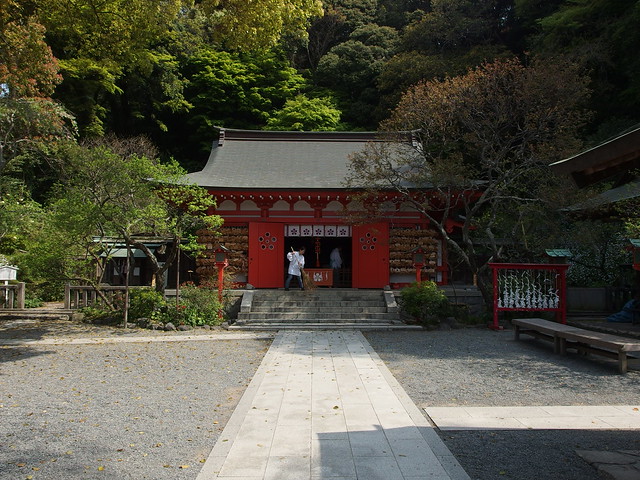
Above, at Egara Tenjin Shrine.
Above, a statue of a brush: the E-hude-zuka, covered with kappa.
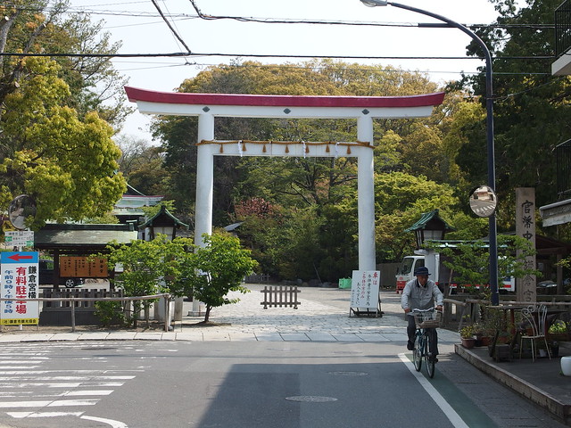
Above, torii of Kamakura-gu Shrine.
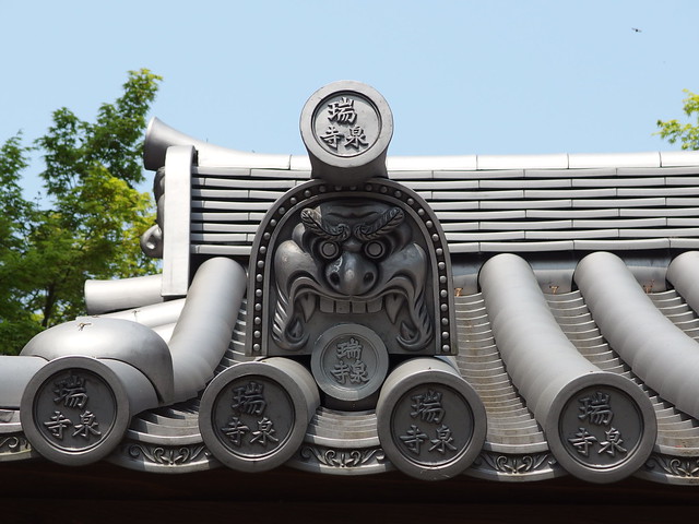
Above, arriving at Zuisen-ji.
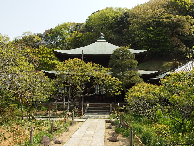
Above, main temple building.
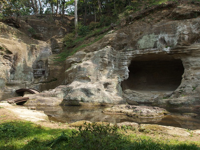
Above, meditation cave,
