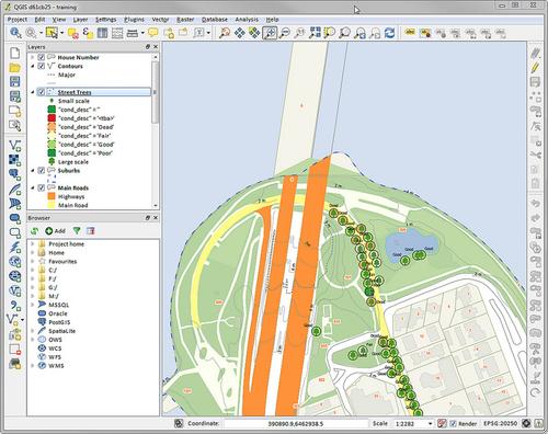
QGIS 2.0
Version 2.0 of QGIS (formerly known as Quantum GIS) has just been released! The codename for this version is Dufour.
QGIS is a user-friendly Open Source Geographic Information System (GIS) licensed under the GNU General Public License (GPL2). QGIS is an official project of the Open Source Geospatial Foundation (OSGeo). It runs on Linux, FreeBSD, Mac OSX, Windows and Android and supports numerous vector, raster and database formats and functionalities.
QGIS provides a continuously growing number of capabilities provided by core functions and plugins. You can visualize, manage, edit, analyze data and compose printable maps.
On top of the desktop software QGIS is well known for, the project also offers QGIS Server (to publish maps and data as OGC WMS and WFS) and a version for Android (coming soon).
Some additional links:
- List of new features
- PyQGIS developer cookbook. PyQGIS can be use for automating QGIS tasks and writing plugins using Python.
- QGIS 2.0 book (from GIS Lounge)
