Hike to Mount Takao & Lake Sagami
Last Friday, I went to the western area of Tokyo known as Hachioji and hiked up Mount Takao (599m). From the summit, I followed a trail for a bit and, at the end of the day, found myself near Lake Sagami.
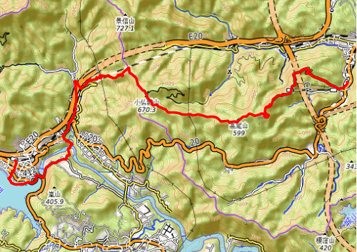
Here is a map of the path I walked (download KML):
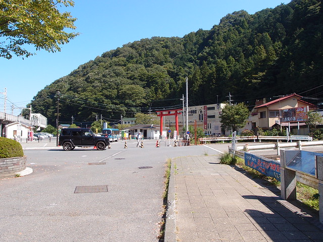
Above, in front of the Keio Takaosanguchi train station, at the base of Mount Takao.
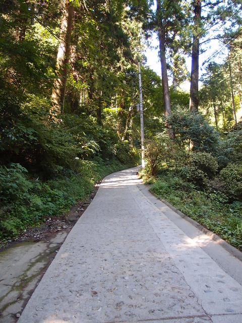
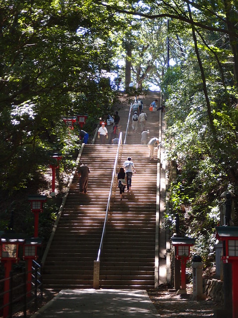
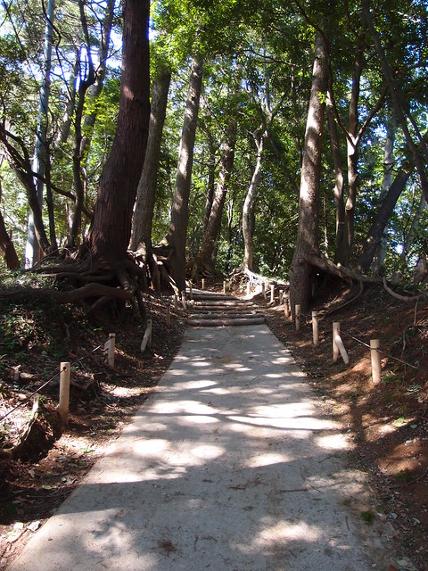
Above, hiking trail #1. This section is steeper than it looks. There is however both a lift and a funicular to avoid it.
Above, view of Tokyo from the lift station.
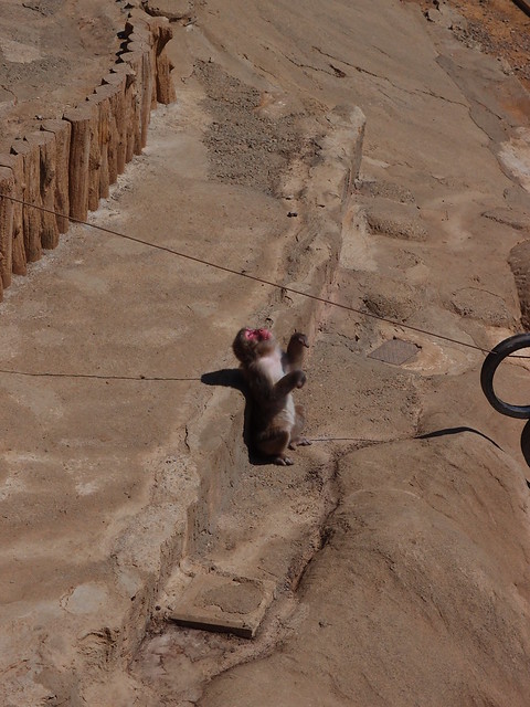
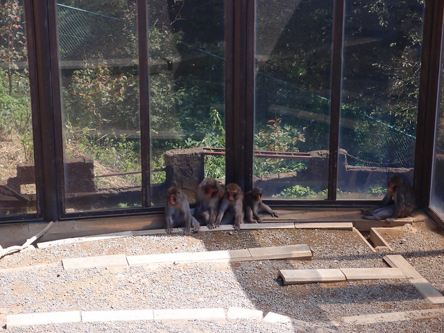
Above, Japanese macaques inside the Monkey Park.
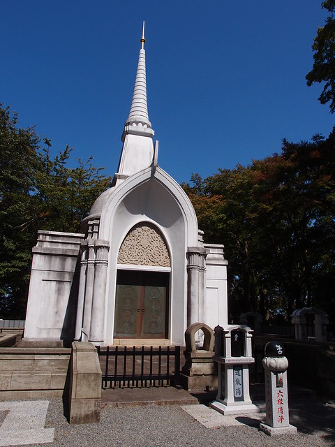
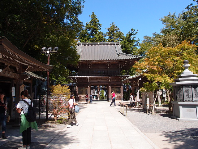
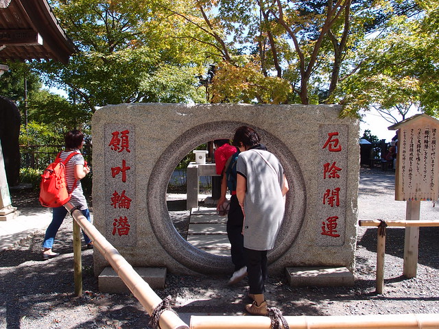
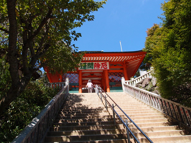
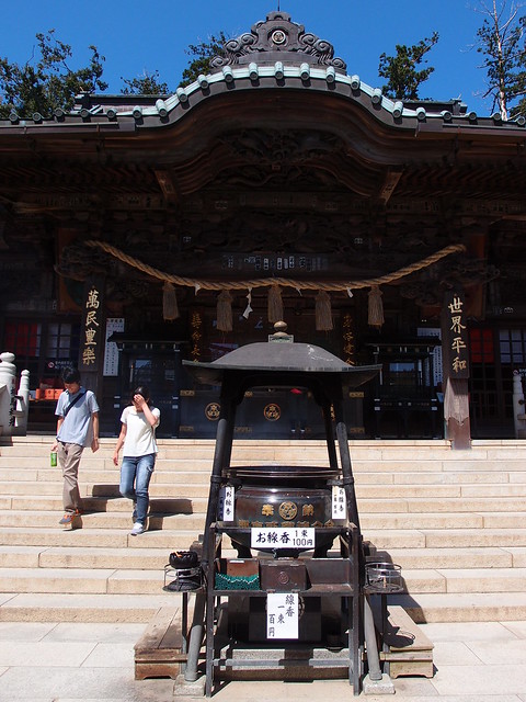
Above, entrance to the Buddhist Yakuo-in Yuki-ji temple.
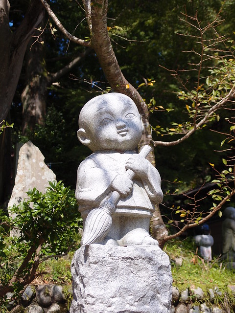
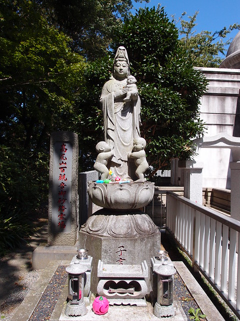
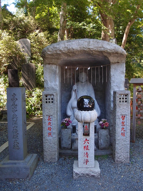
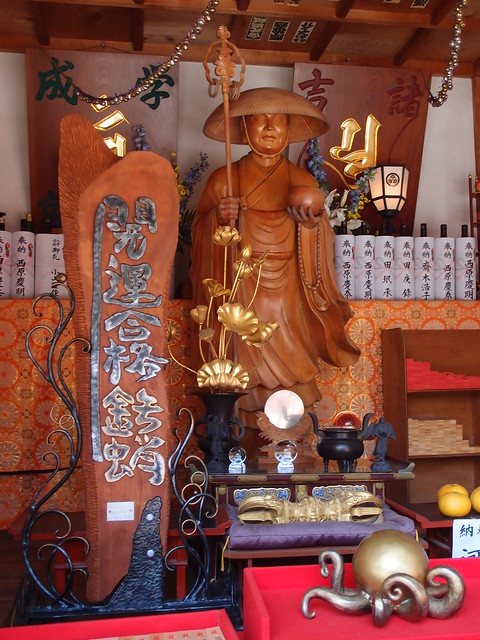
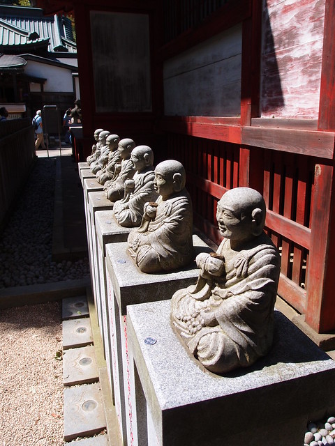
Above, a statue of Kannon, the buddhist Goddess of Mercy.
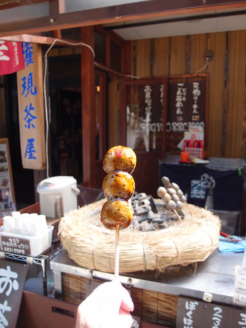
Above, dango. Yummy!
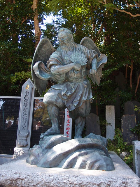
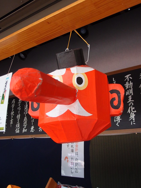
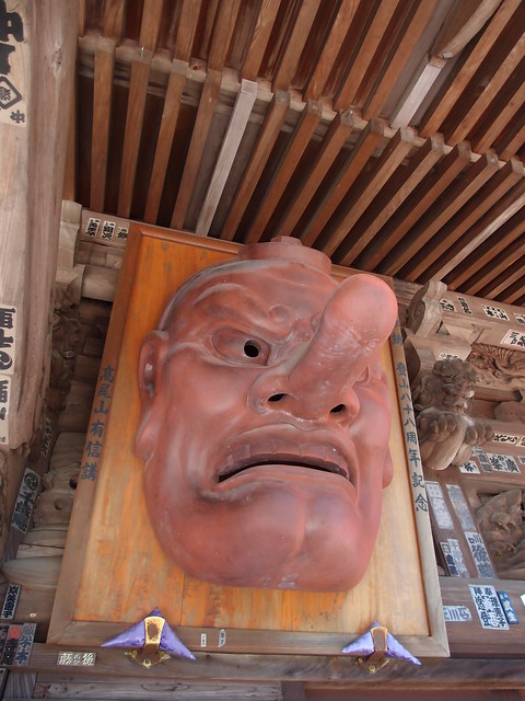
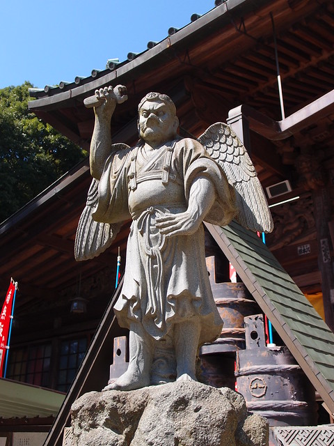
Above, statue of a tengu (a type of shinto god with a long nose).
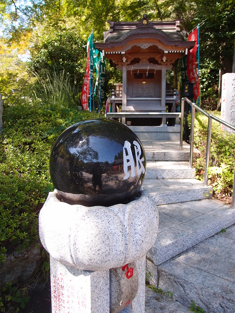
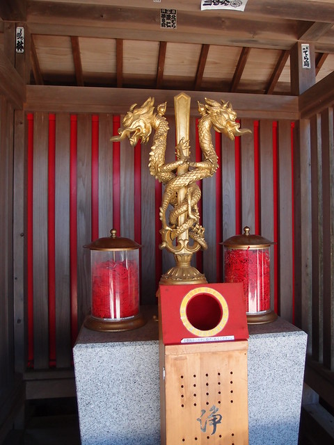
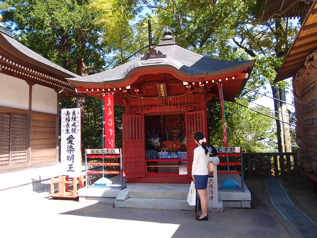
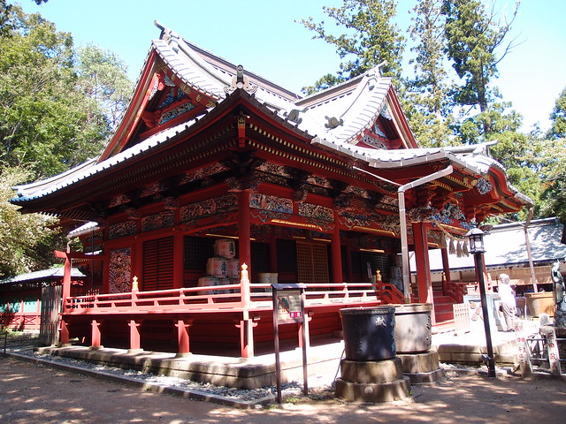
Above, shinto shrine on the way to the summit.
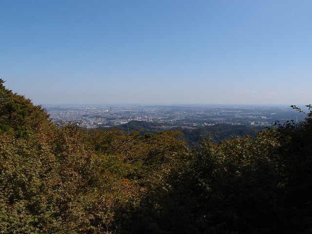
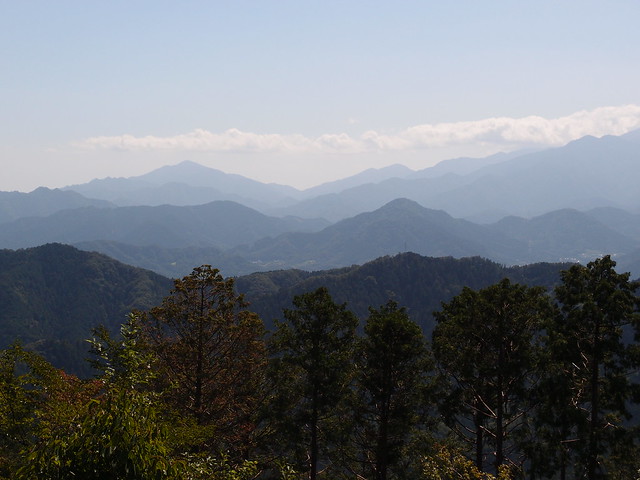
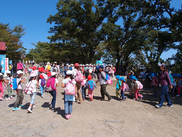
Above, view from the summit of Mount Takao. On a clear day, it should be possible to view Mount Fuji.
The summit was crawling with school kids.
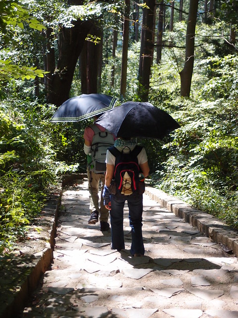
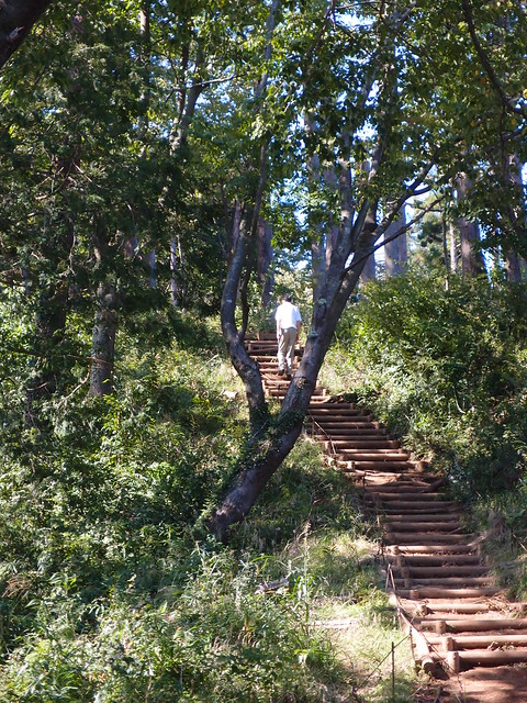
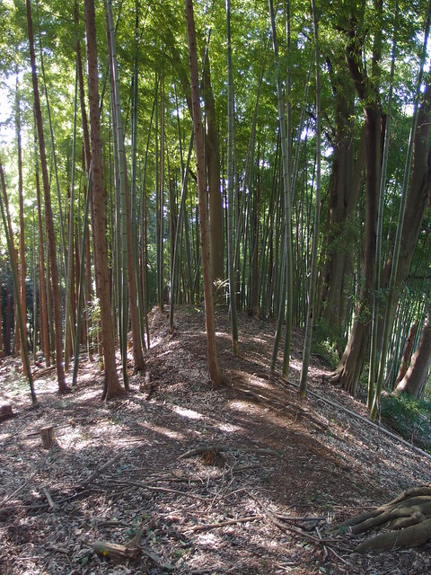
Above, on the trail to Mount Kobotoke-Shiroyama.
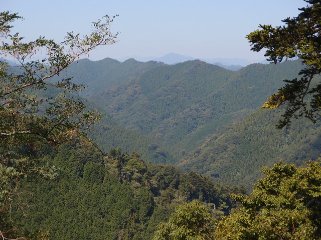
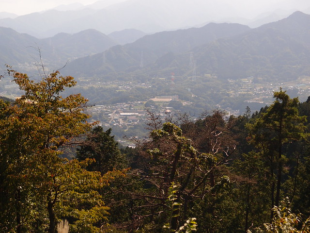
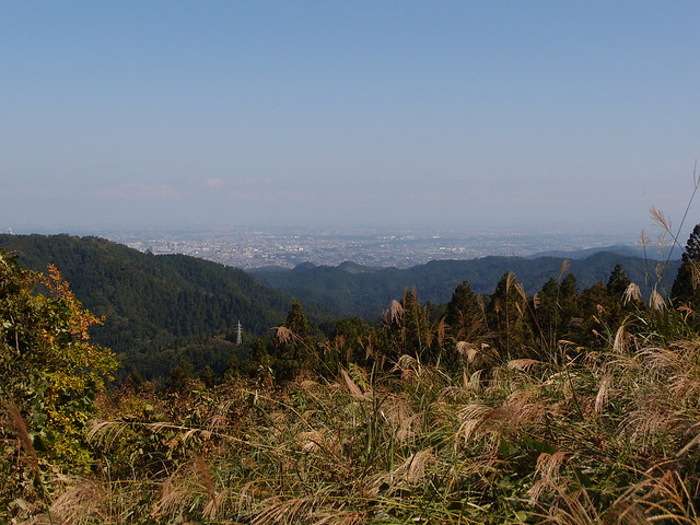
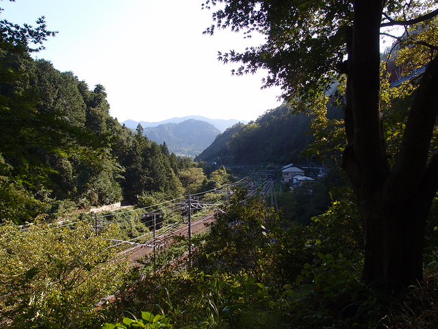
Above, view from Momijidai, betweem Mount Takao and Mount Kobotoke-Shiroyama.
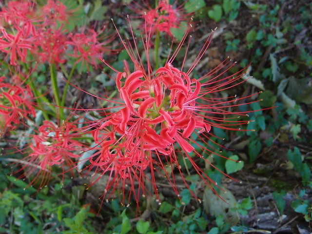
Above, red spider lily (Lycoris Radiata), an autumn flower.
Above, view from Mount Kobotoke-Shiroyama.
From there, there are 2 ways to get to Lake Sagami: One direct, the other through Kobotoke Pass. I took the latter.
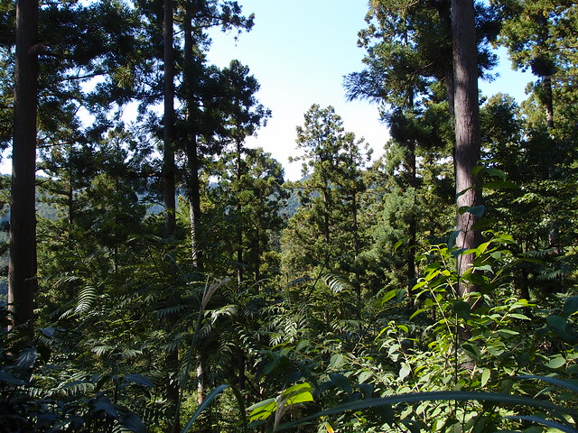
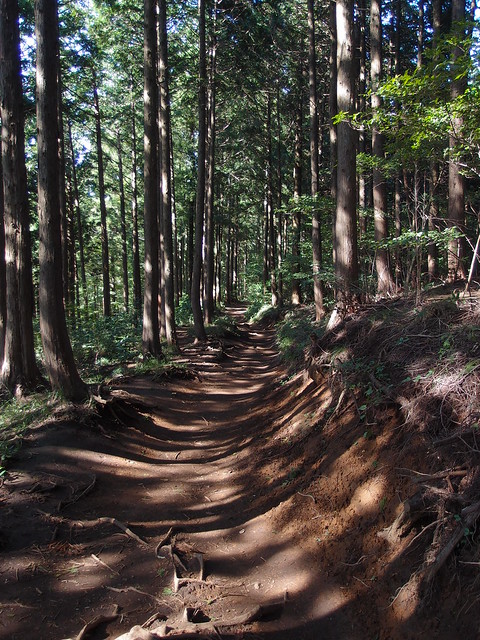
Above, trail to Kobotoke Pass.
Above, trail to Lake Sagami (part of the Tokai Nature Trail).
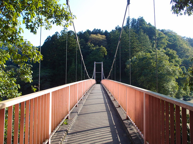
Above, bridge on Sagami River.
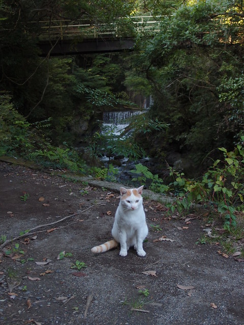
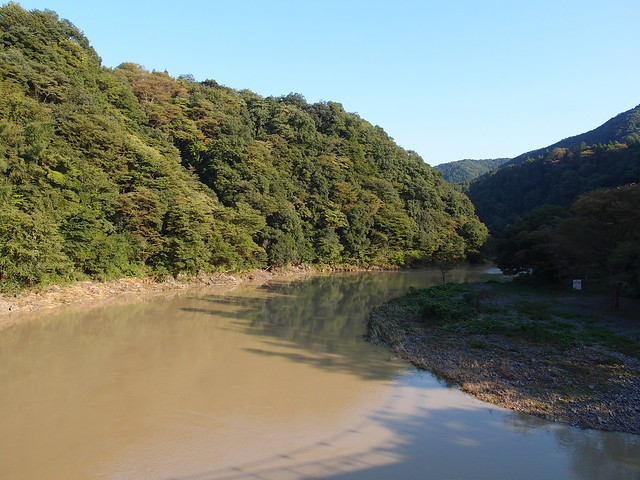
Above, Sagami River, downstream from the Sagami Dam.
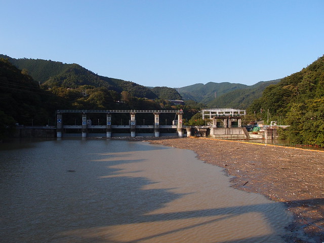
Above, Sagami Dam.
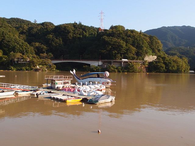
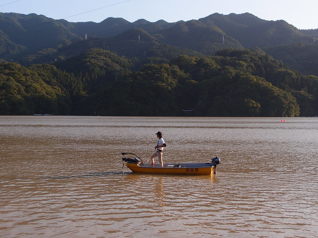
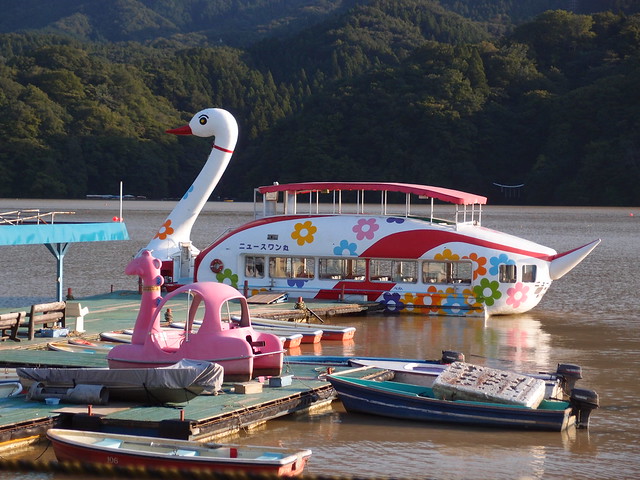
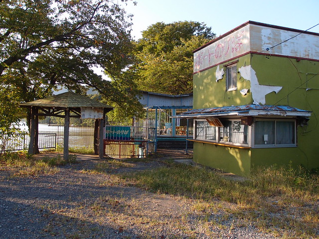
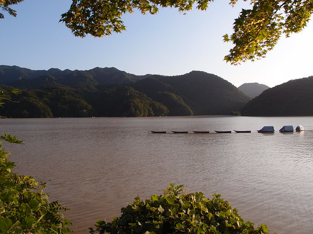
Above, Lake Sagami (aka Sagami-ko).
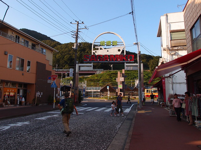
Above, Sagamiko sign next to the train station (JR Chuo Line).

